Maps & PrintsBartele Gallery · Langweer
Home / Antique Maps / Sea Charts

Sea Charts · 18th century

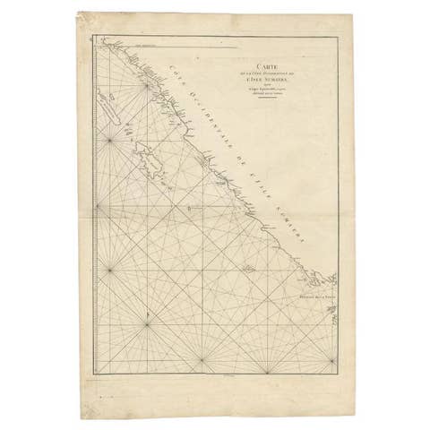
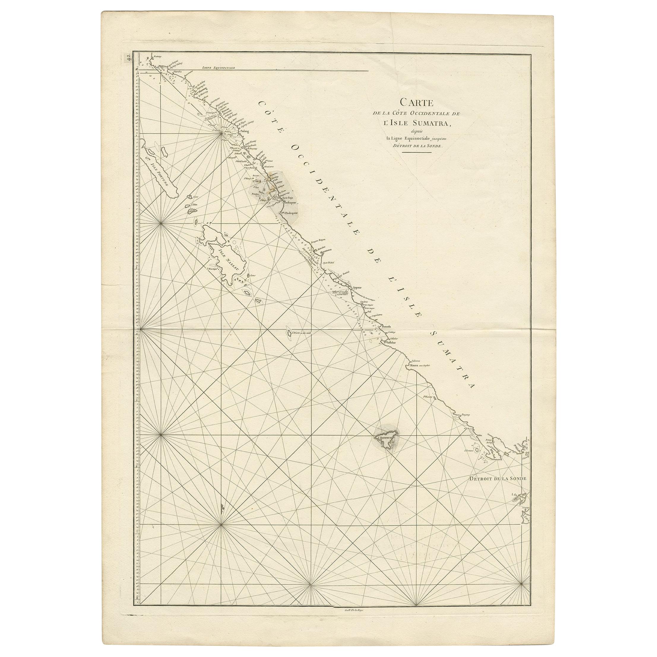
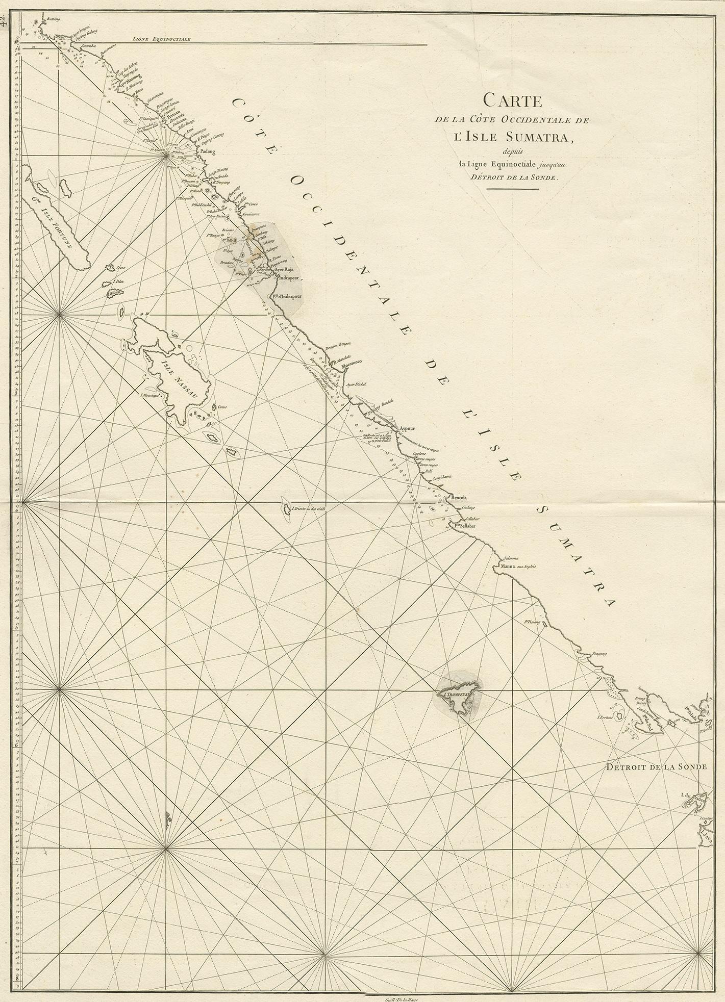
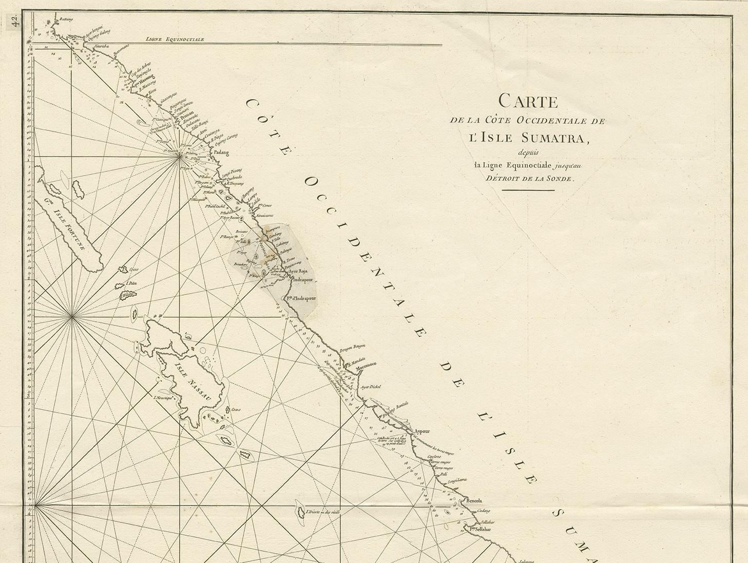
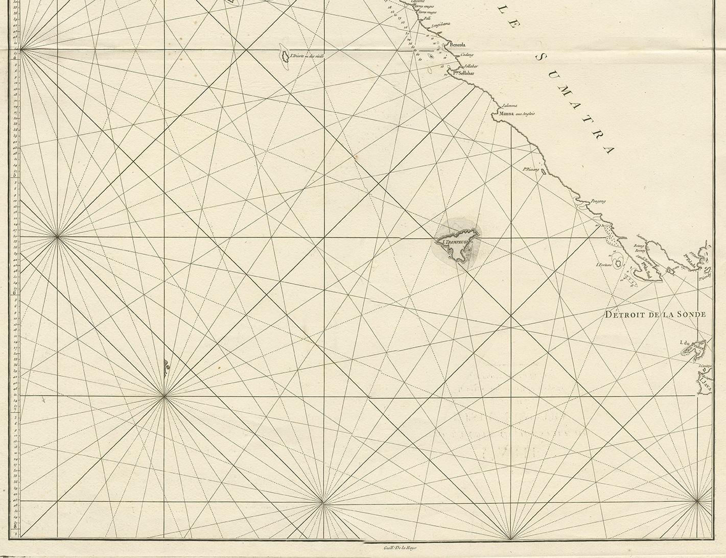
Antique Coastal Map of Sumatra by De La Haye, circa 1780

€ 362

One of a kind: this is the sheet in the photographs. Ships from Langweer, the Netherlands.

Date
1780
Mapmaker / artist
G. de la Haye (Artist)
Technique
Engraved
Sheet size
76.5 × 55.5 cm (30.1 × 21.9 in)
Condition
Good
Reference
BG-07170

Condition

Repair near 'Indrapour', please study image carefully.
About this sheet

Antique map titled 'Carte de la Côte Occidentale de l'Isle Sumatra'. Sea chart of the part of the south-western coast of Sumatra with the Nassau (Nias) and Fortune isles. Engraved by G. de la Haye. Published in Paris by J.B. d'Apres de Mannevillette, circa 1780.

More from Sea Charts

Ask about this sheet

Antique Coastal Map of Sumatra by De La Haye, circa 1780
1780 · Ref. BG-07170 · € 362
We reply by email, usually within one working day.