Antique Map of Isère ‘France’ by V. Levasseur, 1854
€ 180
One of a kind: this is the sheet in the photographs. Ships from Langweer, the Netherlands.
Date
1854
Mapmaker / artist
Victor Levasseur (Artist)
Sheet size
35.5 × 52.5 cm (14.0 × 20.7 in)
Condition
Good
Reference
BG-05614/65
Condition
General age-related toning. Please study image carefully.
About this sheet
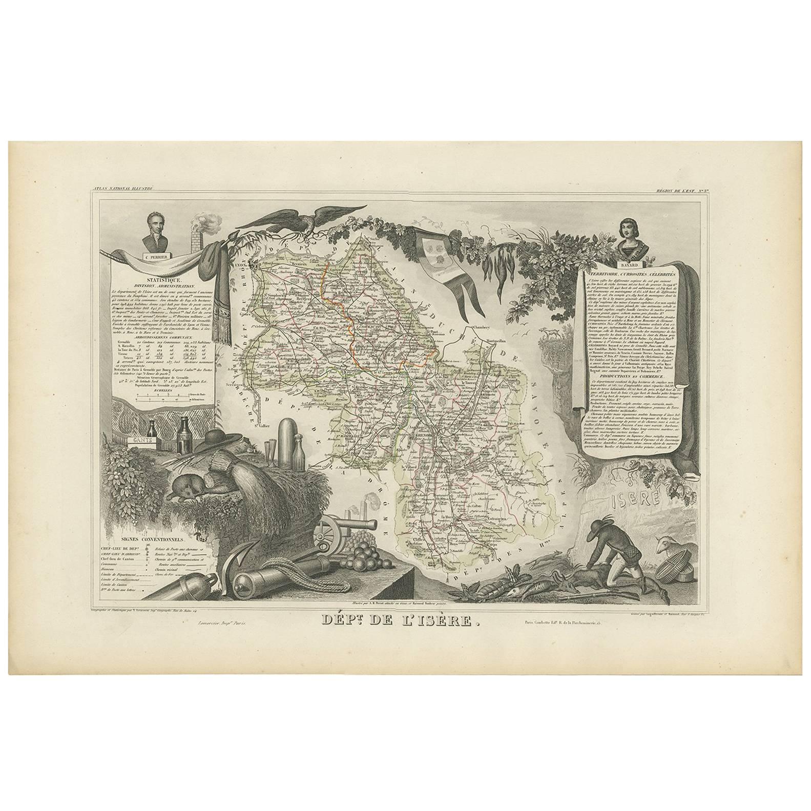
Antique map titled 'Dépt. de l'Isère'. Map of the French department Isere. It is presented with a statistic description, information about the territory, curiosities and famous people, production and trade. The map is surrounded by portraits of Casimir Perrier and Bayard, pictures of an eagle, vine, a flag of Grenoble city, game, chamois, fish, chimneys, guns and cannonballs, a glove box, ratafia, knives and cissors, hat and glassware. This map originates from ‘Atlas National de la France Illustré’. Published by A. Combette, Paris, 1854.