Maps & PrintsBartele Gallery · Langweer
Home / Antique Maps / Asia / South-East Asia / East Indies

East Indies · 17th century

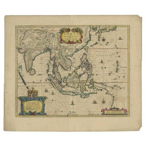
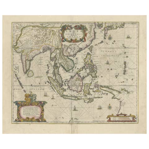
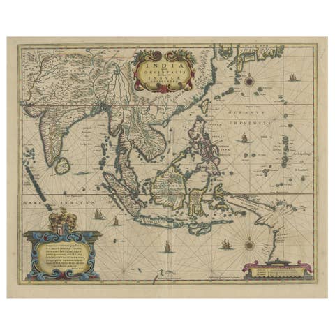
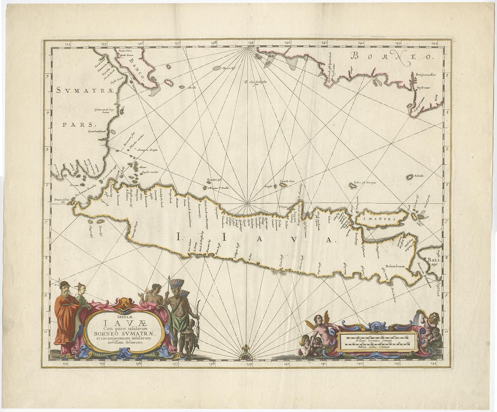
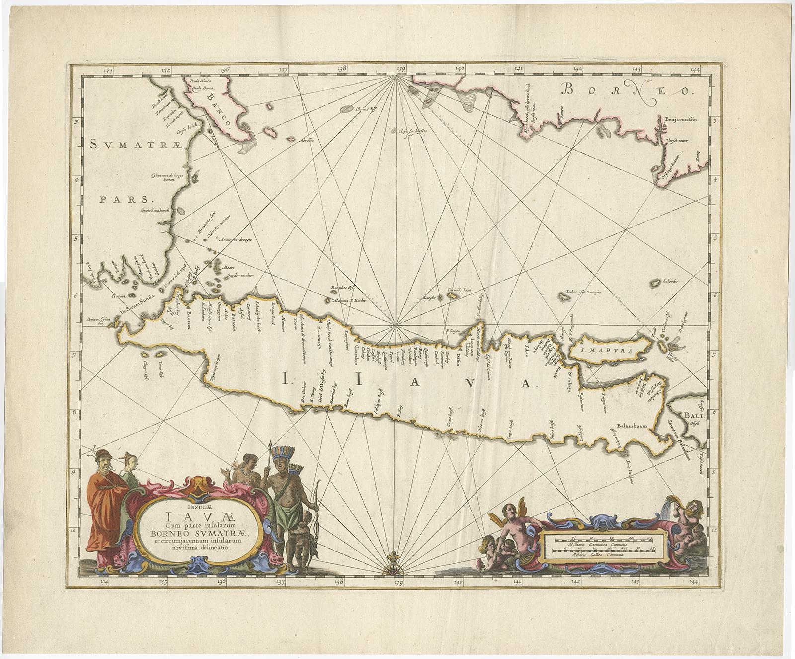
Antique Map of Java by Janssonius, circa 1650

€ 2 950

One of a kind: this is the sheet in the photographs. Ships from Langweer, the Netherlands.

Date
1650
Sheet size
51.5 × 62 cm (20.3 × 24.4 in)
Condition
Good
Reference
BG-04913

Condition

The map is in very good condition, considering its age. Please study image carefully or ask for more detailed photos..
About this sheet

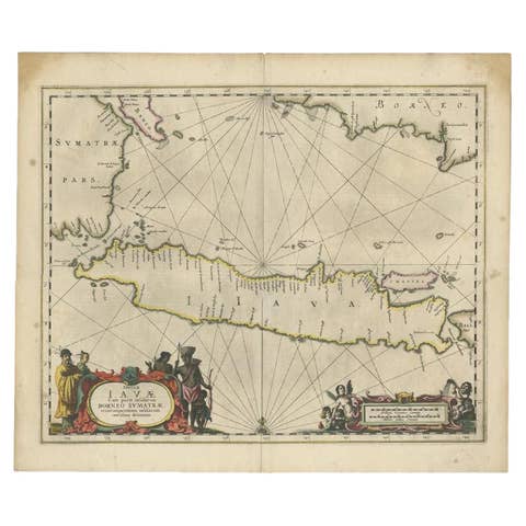
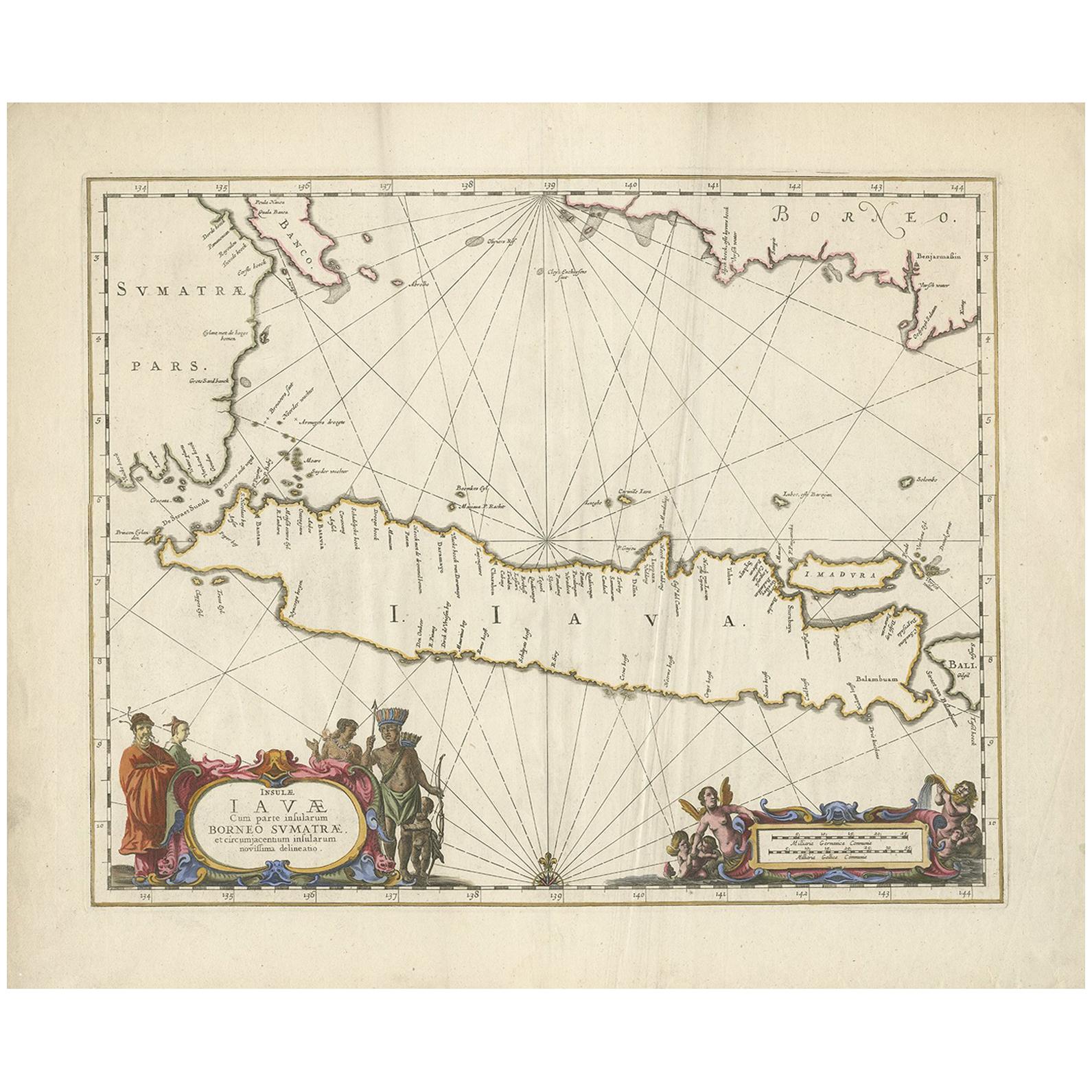
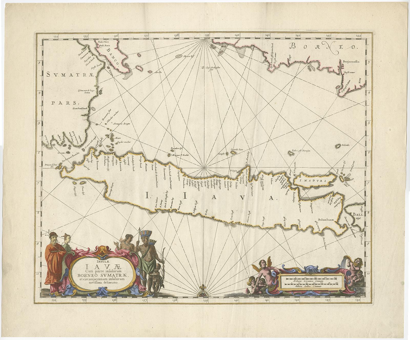
Antique map titled 'Insulae Iavae cum parte insularum Borneo Sumatrae, et circumjacentium insularum novissima delineatio'. Beautiful map of Java and parts of Bali, Borneo, Sumatra and surrounding islands.

This map was intended to be a sea chart, therefore the interior detail is minimal. The Dutch capital in the East Indies is located at Batavia (Jakarta) where a small fort is shown. The beautiful chart is richly embellished with two fine cartouches featuring natives and Chinese merchants flanking the title and Neptune and mermaids surrounding the scale of miles.

More from East Indies

Ask about this sheet

Antique Map of Java by Janssonius, circa 1650
1650 · Ref. BG-04913 · € 2 950
We reply by email, usually within one working day.