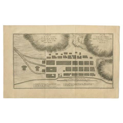
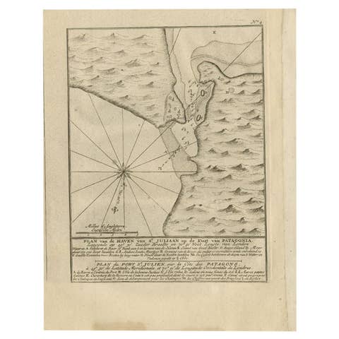
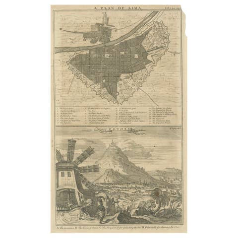
One of a kind: this is the sheet in the photographs. Ships from Langweer, the Netherlands.
Date
1749
Mapmaker / artist
G. Anson (Artist)
Technique
Engraved
Sheet size
53 × 52 cm (20.9 × 20.5 in)
Condition
Good
Reference
BGI-00209
Condition
Repaired: Repair around the compass rose. Minor defects, repair around the compass rose. Please study images carefully.
About this sheet
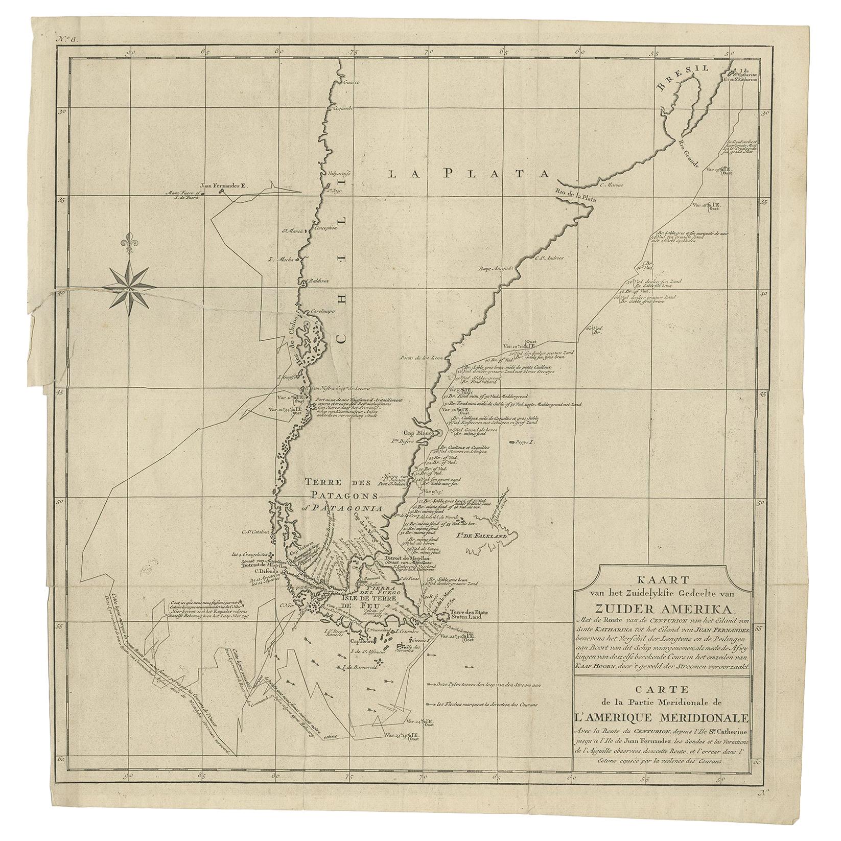
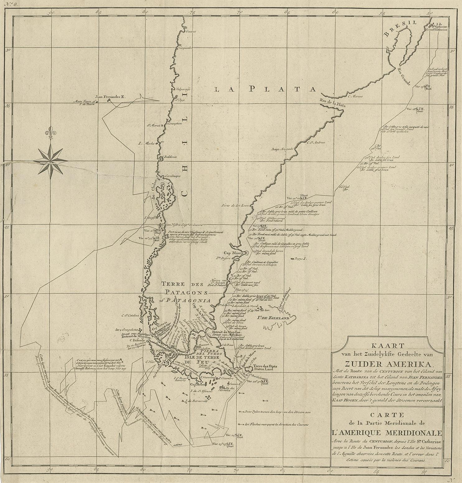
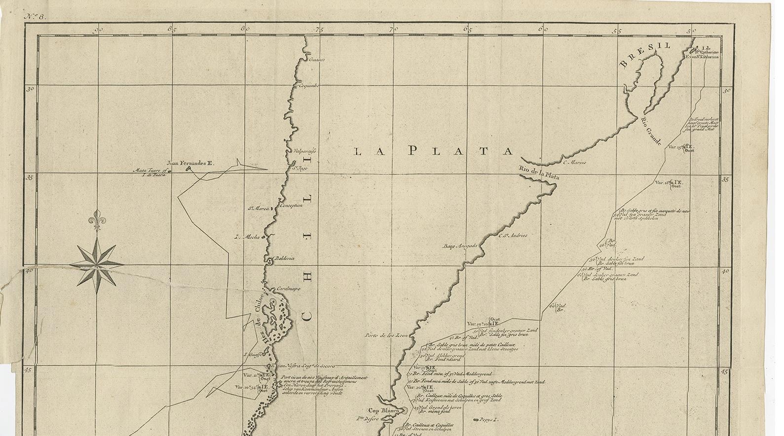
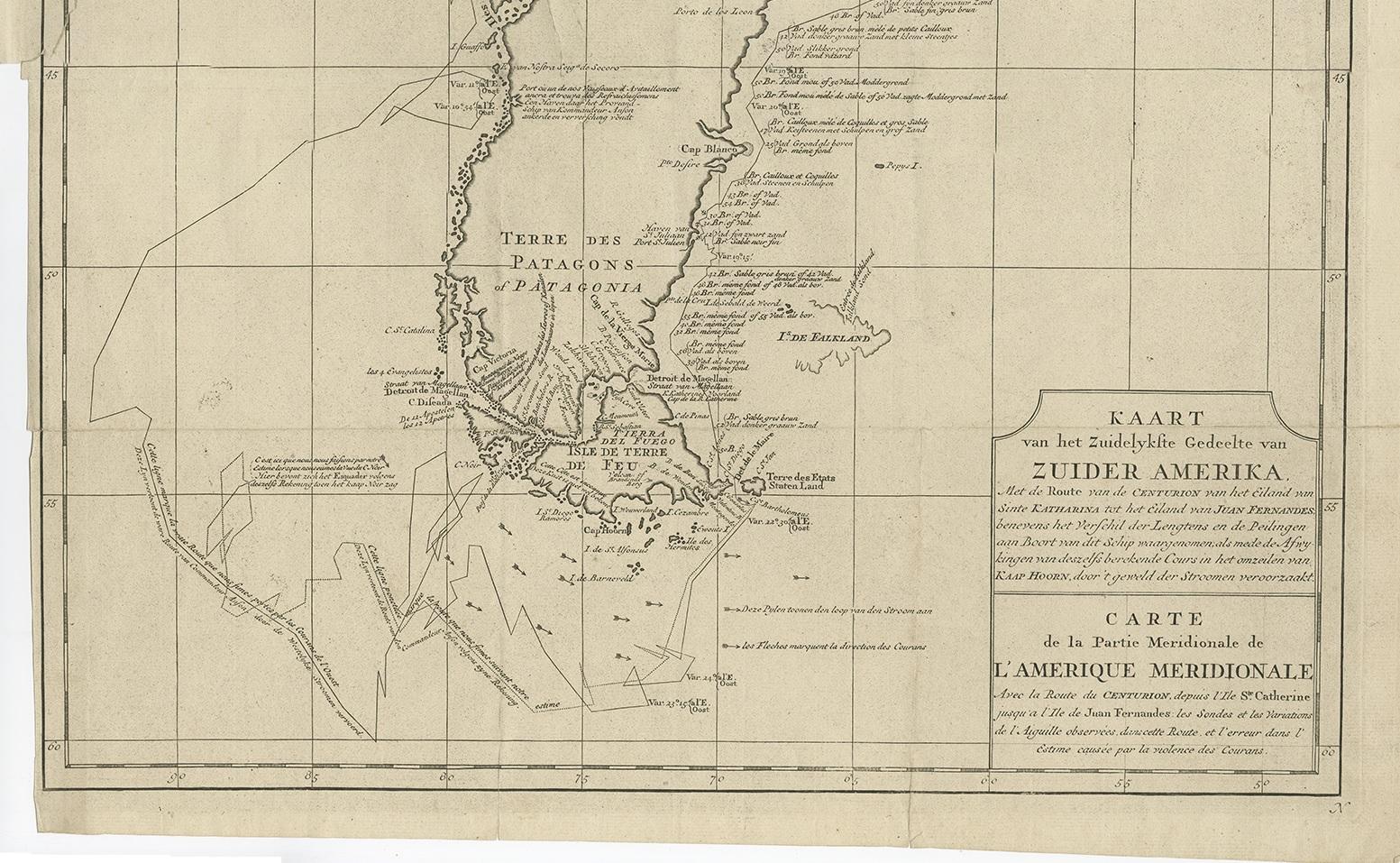
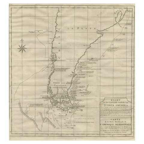
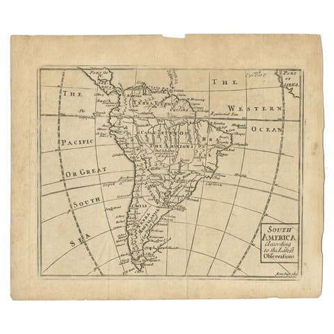
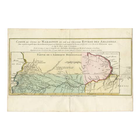
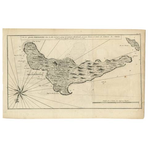
Antique map titled 'Kaart van het Zuidelykste Gedeelte van Zuider Amerika (..) - Carte de la Partie Meridionale de l'Amerique Meridionale (..)'. Detailed chart tracking the route of Capt. George Anson's ship The Centurion in 1745. The chart shows the tracks of Anson's ships around South America & Cape Horn to the Juan Fernandes Islands, with notes on currents and positions. This map originates from 'Reize rondsom de Werreld (..)' by George Anson, published 1749.
In 1740 Capt. George Anson (1697-1762) of the Royal Navy, was given command of a squadron of ships. As England was at war with France and Spain, Anson's task was to intercept and capture a Spanish treasure galleon trading across the Pacific from Acapulco in Mexico to the Philippines. Anson's outward journey took him to the coast of South America, around Cape Horn and up to the Juan Fernandes Islands off the coast of Peru, from whence he sailed to Mexico and then outward across the Pacific to Cape Espiritu Santo on the east coast of the Philippine Islands. In February of 1743, Anson sighted the Spanish ship, the Nuestra Seignora de Cavadonga, which he captured, and the treasure from the ship was so great it made Anson wealthy for life.