Maps & PrintsBartele Gallery · Langweer
Home / Antique Maps / Sea Charts

Sea Charts · 18th century

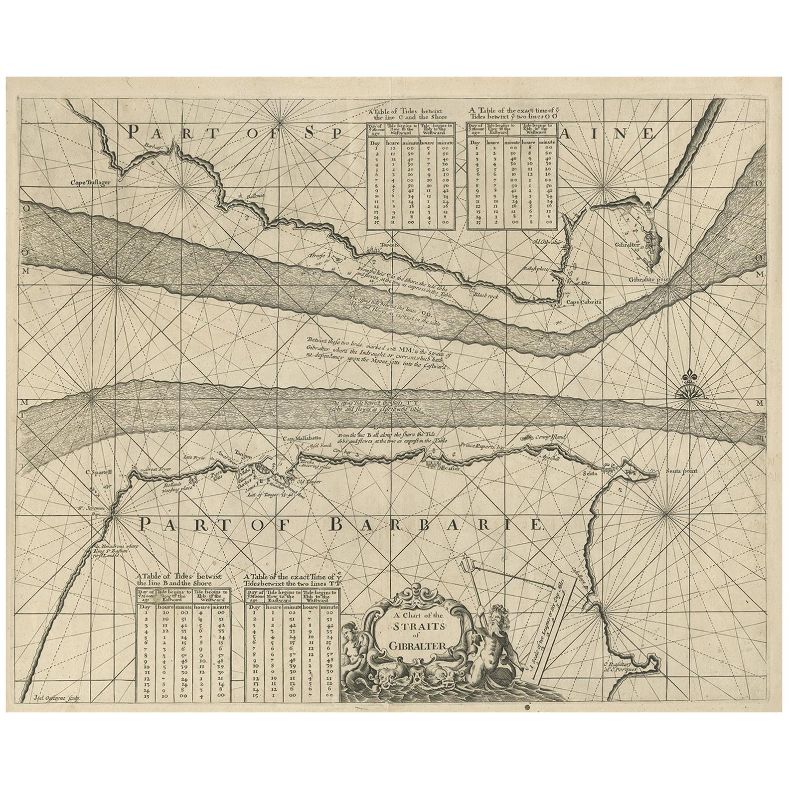
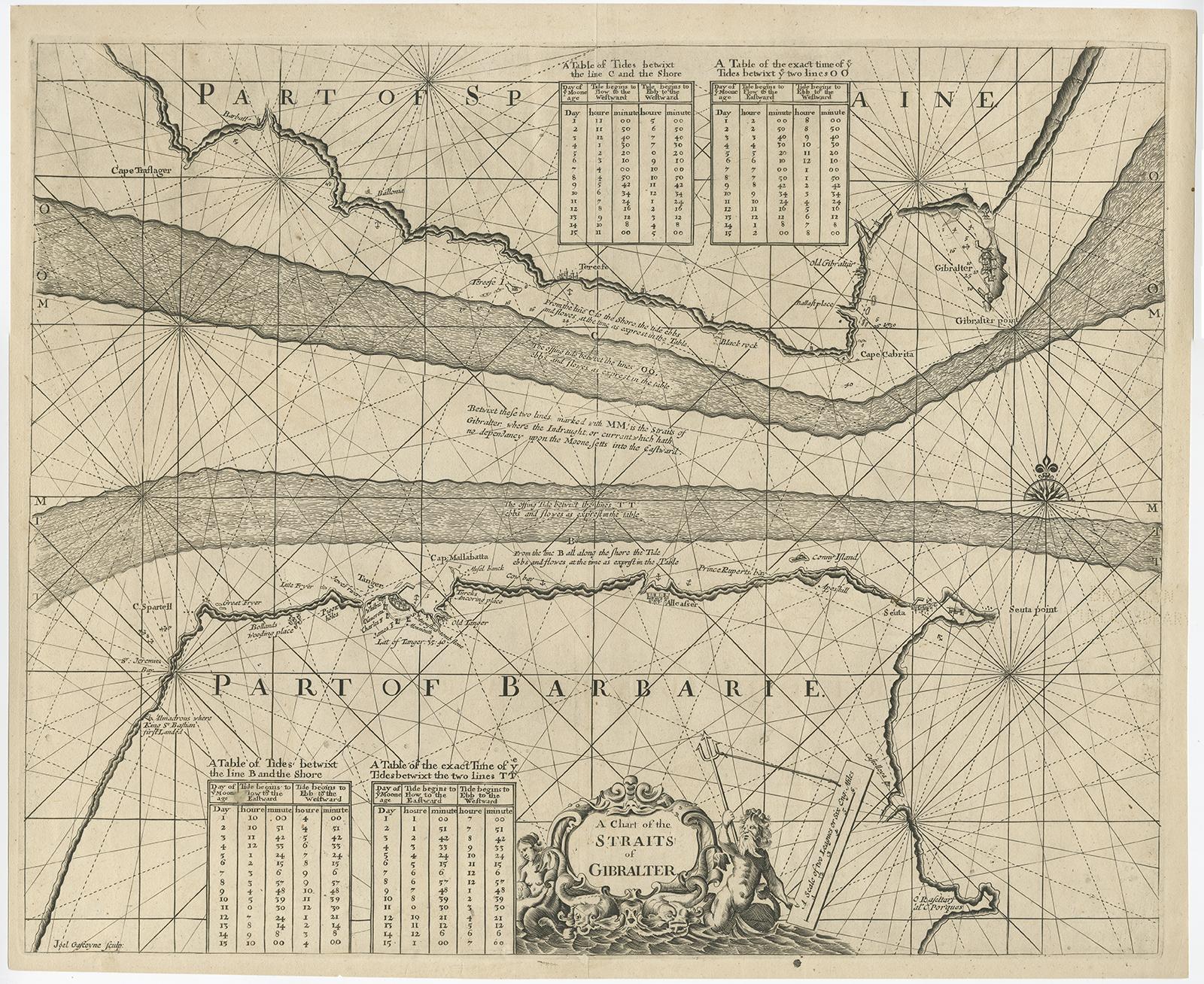
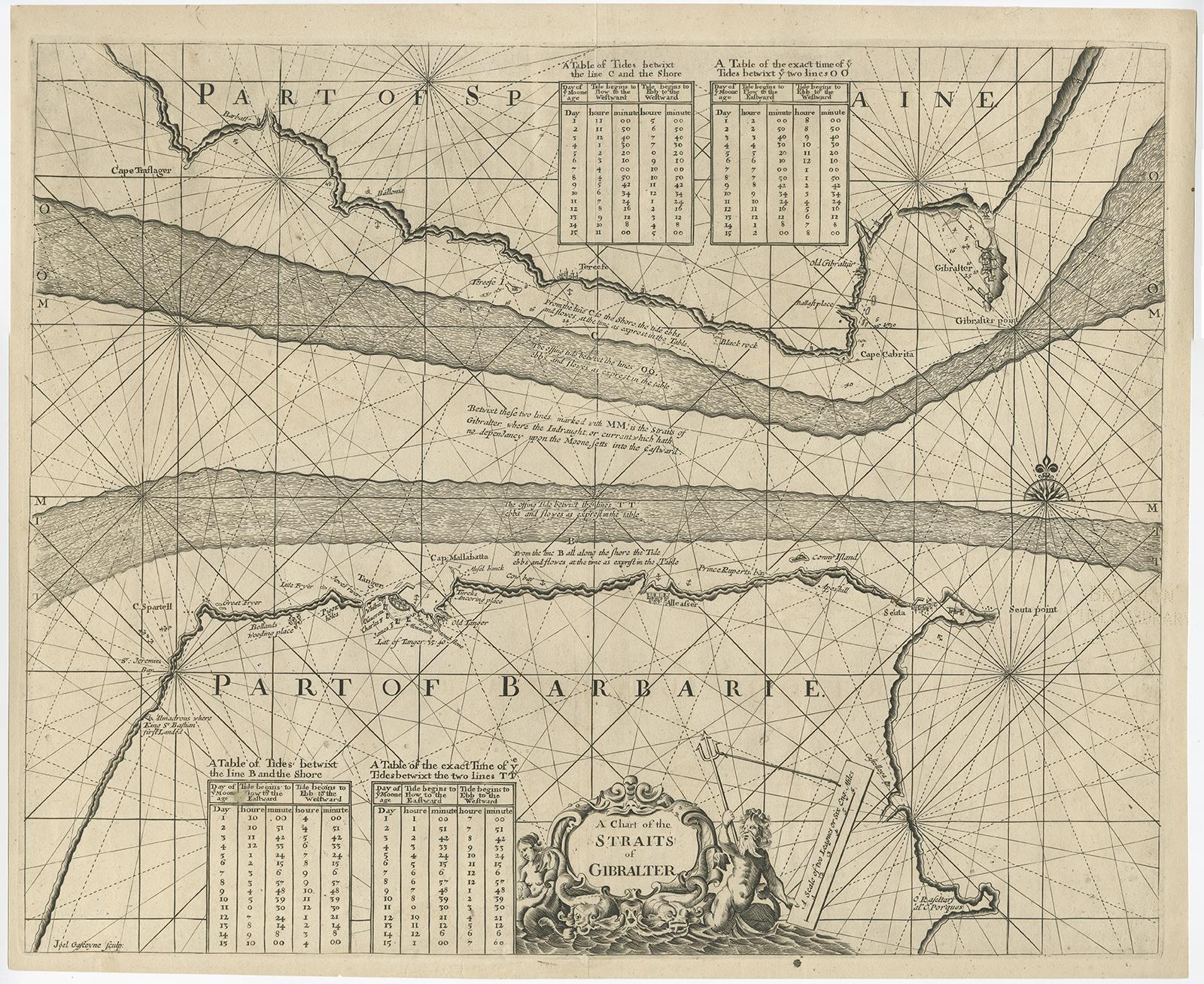
Antique Map of the Straits of Gibraltar by J. Gascoyne, circa 1716

€ 475

One of a kind: this is the sheet in the photographs. Ships from Langweer, the Netherlands.

Date
1716
Sheet size
45.5 × 55 cm (17.9 × 21.7 in)
Condition
Good
Reference
BG-00803

Condition

Repaired: Repairs at the folding line and right edge, otherwise in good condition, considering age. Repairs at the folding line and right edge, otherwise in good condition, considering age. Please study image carefully.

About this sheet

Antique map titled 'A Chart of the Straits of Gibraltar'. This chart shows the tides running through the Straits of Gibraltar, between southern Spain and northern Africa. Tide tables appear at top and bottom. Originates from 'The English Pilot' by J. Gascoyne.

More from Sea Charts

Ask about this sheet

Antique Map of the Straits of Gibraltar by J. Gascoyne, circa 1716
1716 · Ref. BG-00803 · € 475
We reply by email, usually within one working day.