Maps & PrintsBartele Gallery · Langweer
Home / Antique Maps / Europe / Europe as a Whole

Europe as a Whole · 18th century

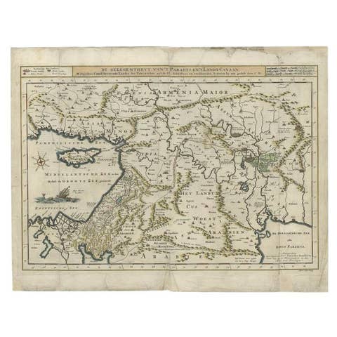
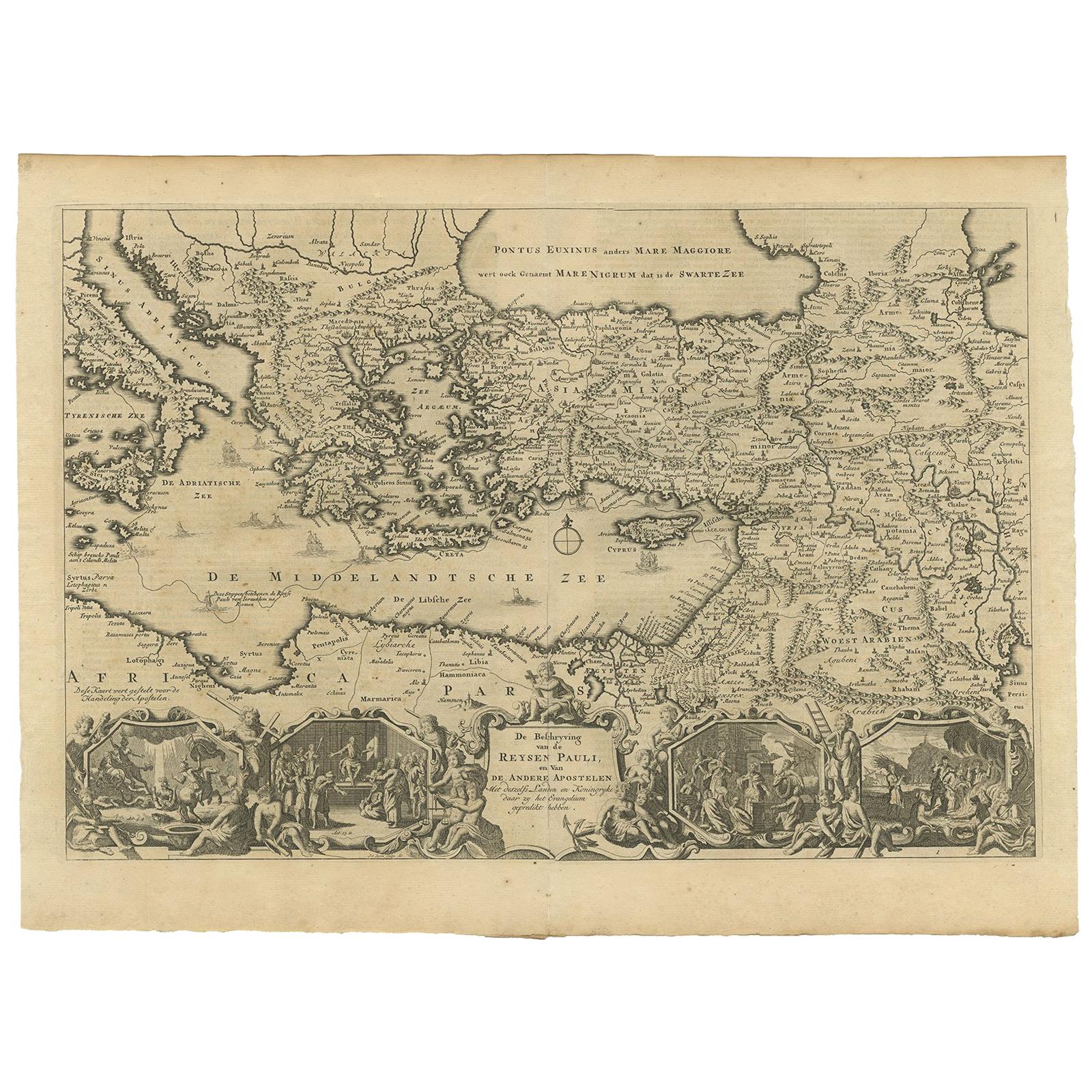
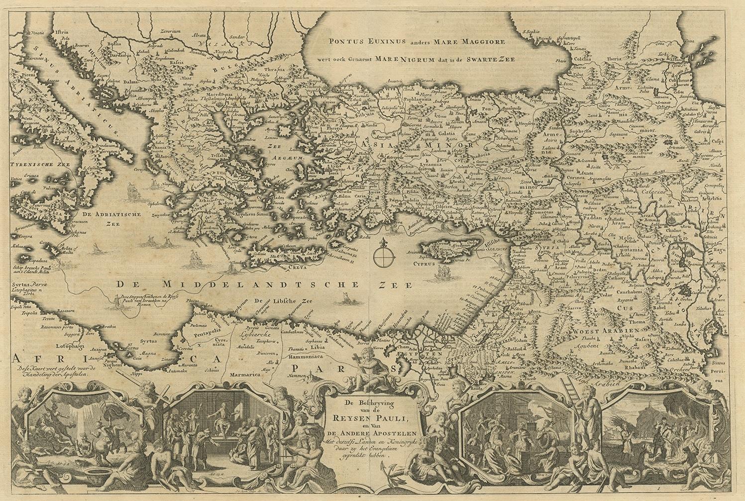
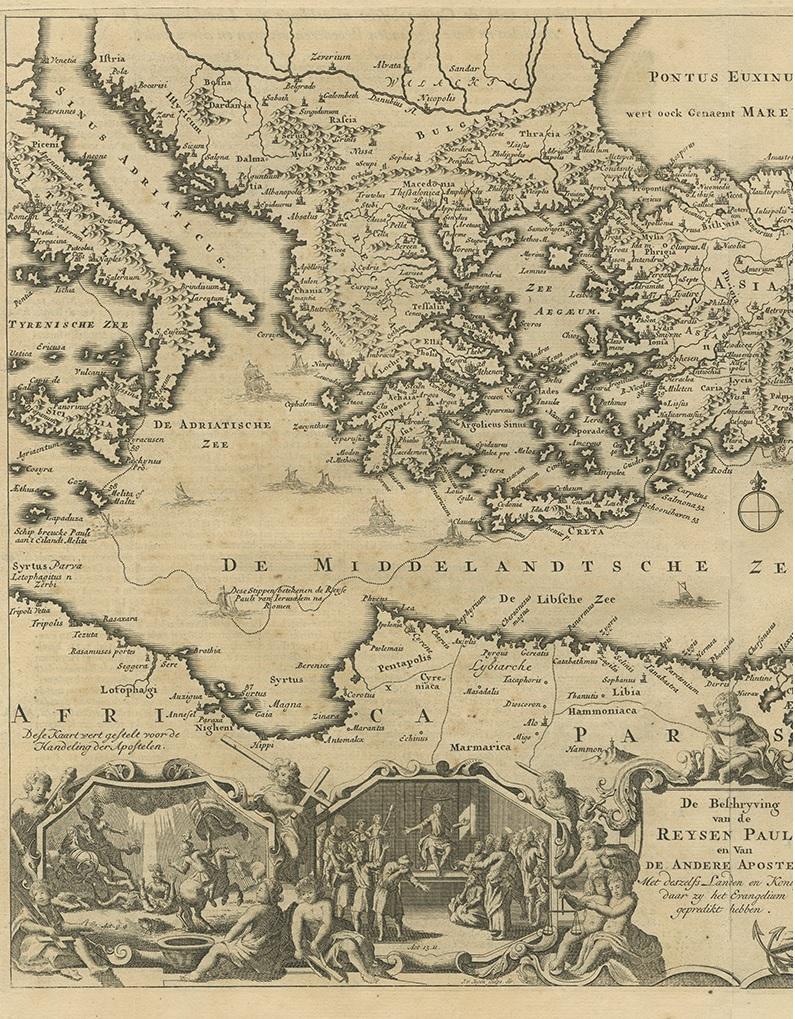
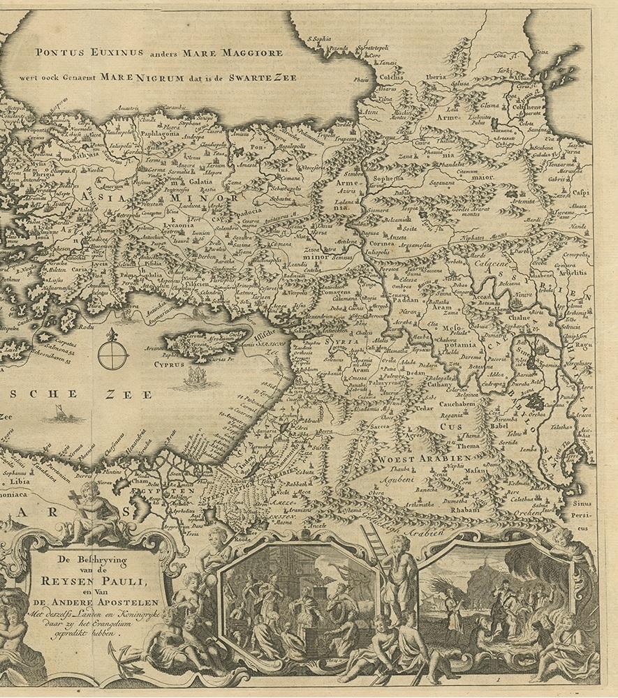
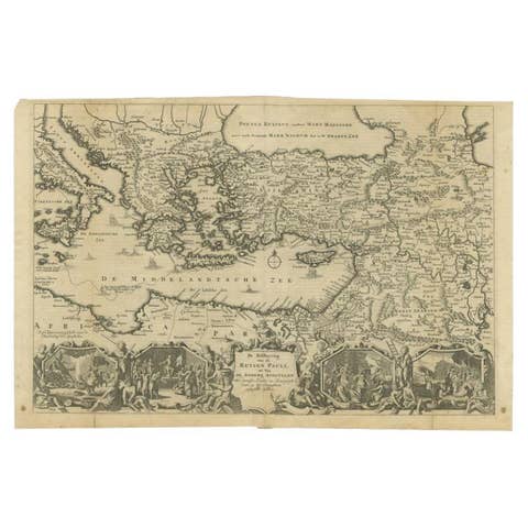
Antique Map Eastern Mediterranean by D. Stoopendaal 'circa 1710'

€ 350

One of a kind: this is the sheet in the photographs. Ships from Langweer, the Netherlands.

Date
1710
Mapmaker / artist
D. Stoopendaal (Artist)
Technique
Engraved
Sheet size
36 × 49 cm (14.2 × 19.3 in)
Condition
Good
Reference
BGI-01103

Condition

Please study image carefully.
About this sheet

Antique map Middle East titled 'De Beschryving van de Reysen Pauli en van de Andere Apostelen'. Antique map of the Eastern Mediterranean with details of the travels by Apostle Paul and other apostles. Decorated with four Biblical scenes in vignettes.

More from Europe as a Whole

Ask about this sheet

Antique Map Eastern Mediterranean by D. Stoopendaal 'circa 1710'
1710 · Ref. BGI-01103 · € 350
We reply by email, usually within one working day.