Maps & PrintsBartele Gallery · Langweer
Home / Antique Maps / Asia / North Asia

North Asia · 18th century

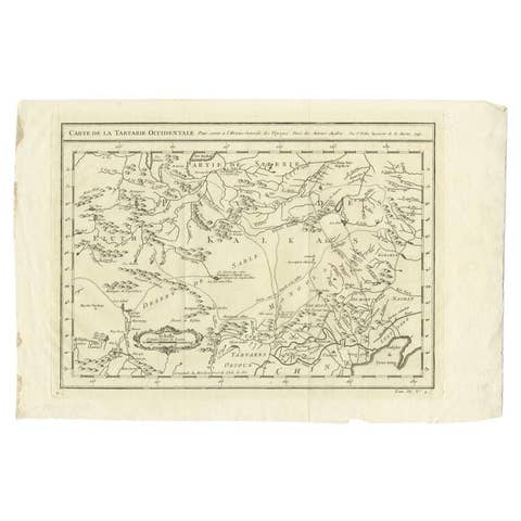
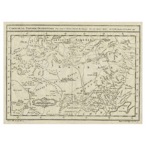
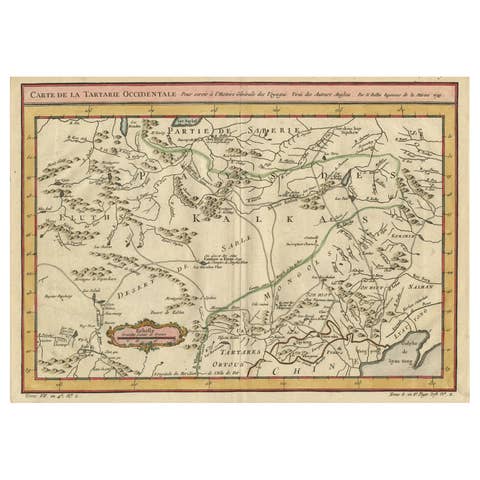
Antique Map of Tartary and Northeast Asia by Bellin, circa 1750

€ 140

One of a kind: this is the sheet in the photographs. Ships from Langweer, the Netherlands.

Date
1750
Mapmaker / artist
Jacques-Nicolas Bellin (Artist)
Technique
Engraved
Sheet size
24.8 × 34.5 cm (9.8 × 13.6 in)
Condition
Good
Reference
BG-00714

Condition

Please study image carefully.
About this sheet

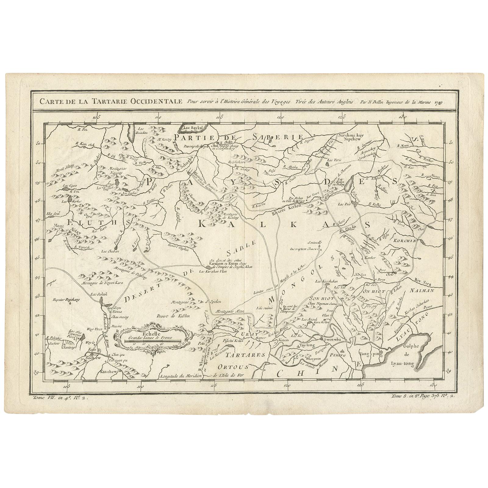
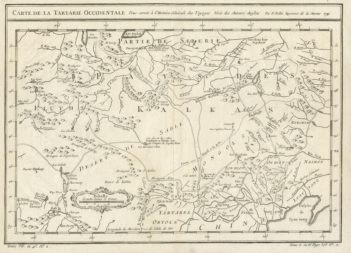
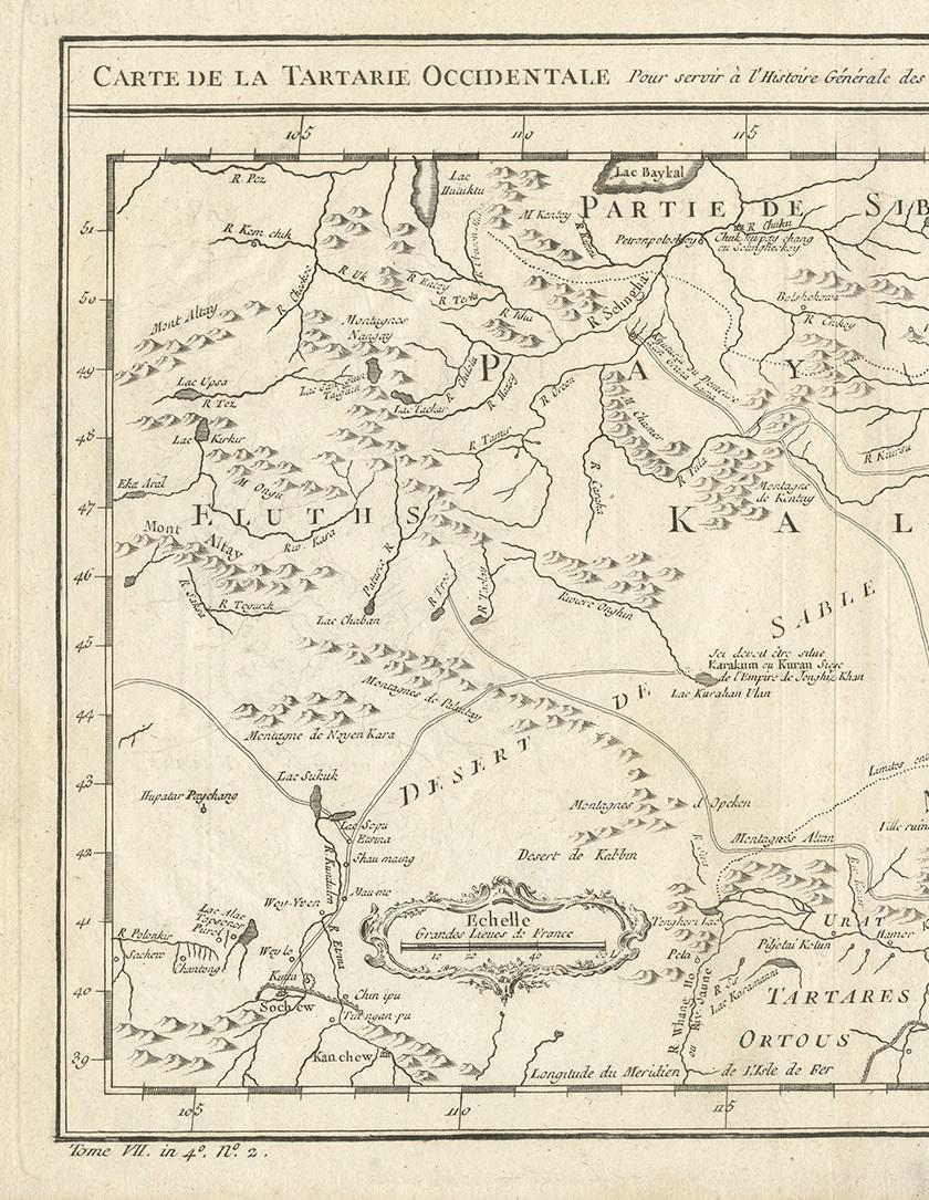
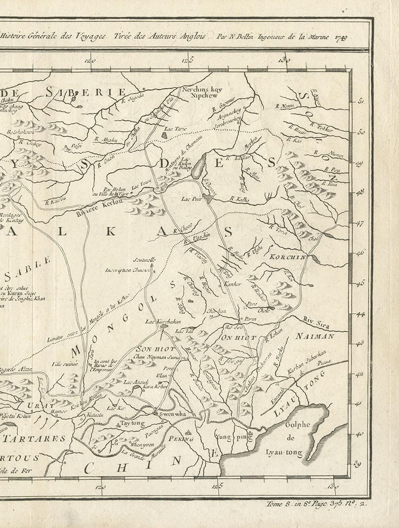
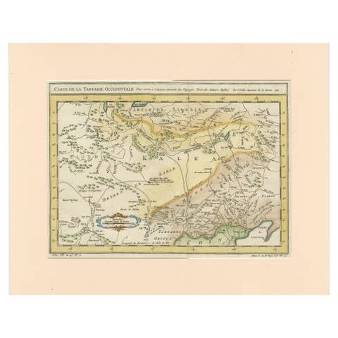
Antique map titled 'Carte de la Tartarie Occidentale'. Map of Tartary and northeast Asia, from Lake Baykal, Partie du Siberia in the north, Pays des Kalkas at the center, as well as Desert de Sable, and down to Chine and the Gulf de Lyau-tong.

More from North Asia

Ask about this sheet

Antique Map of Tartary and Northeast Asia by Bellin, circa 1750
1750 · Ref. BG-00714 · € 140
We reply by email, usually within one working day.