Maps & PrintsBartele Gallery · Langweer
Home / Antique Maps / Asia / South-East Asia / East Indies

East Indies · 18th century

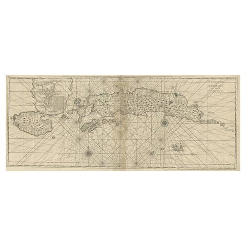
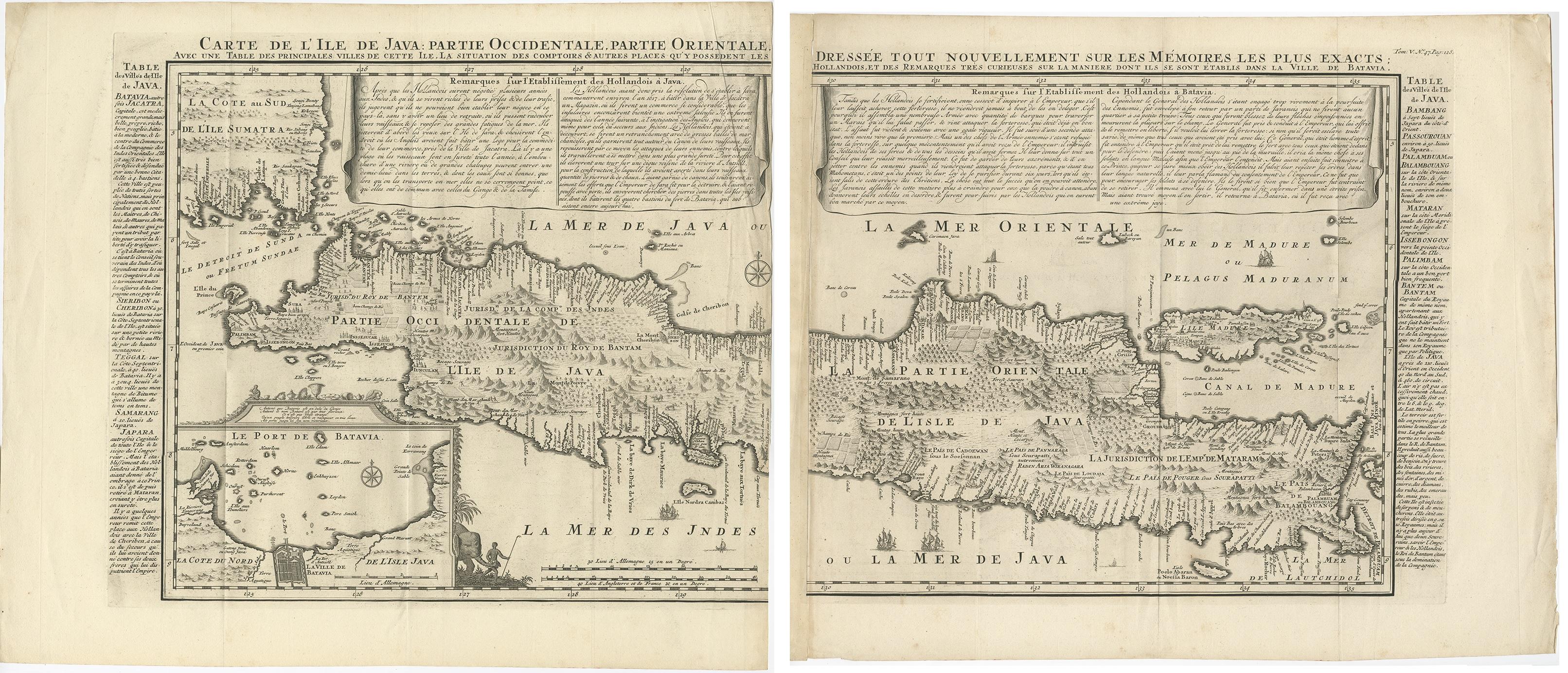
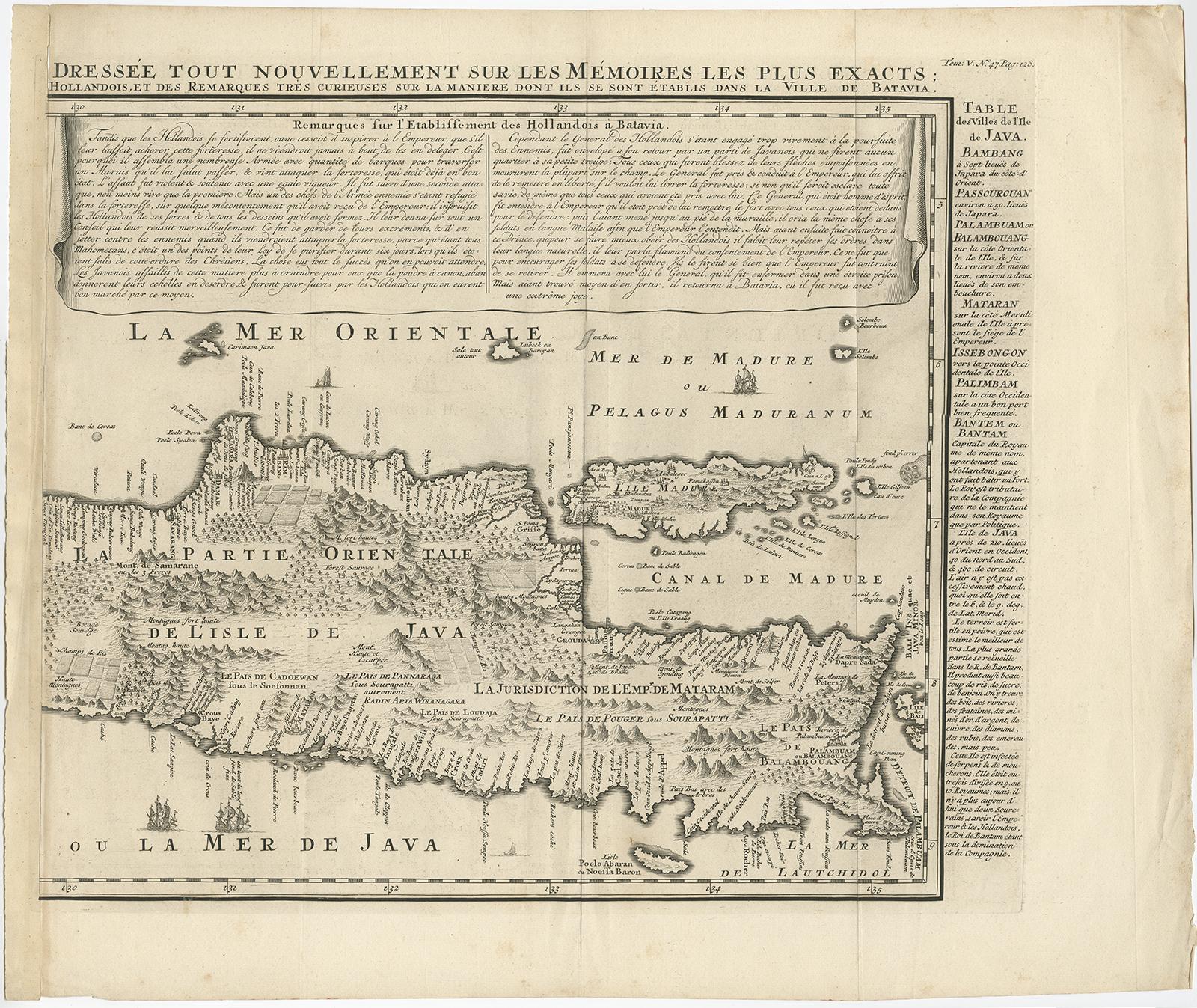
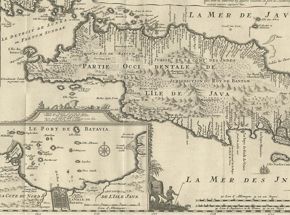
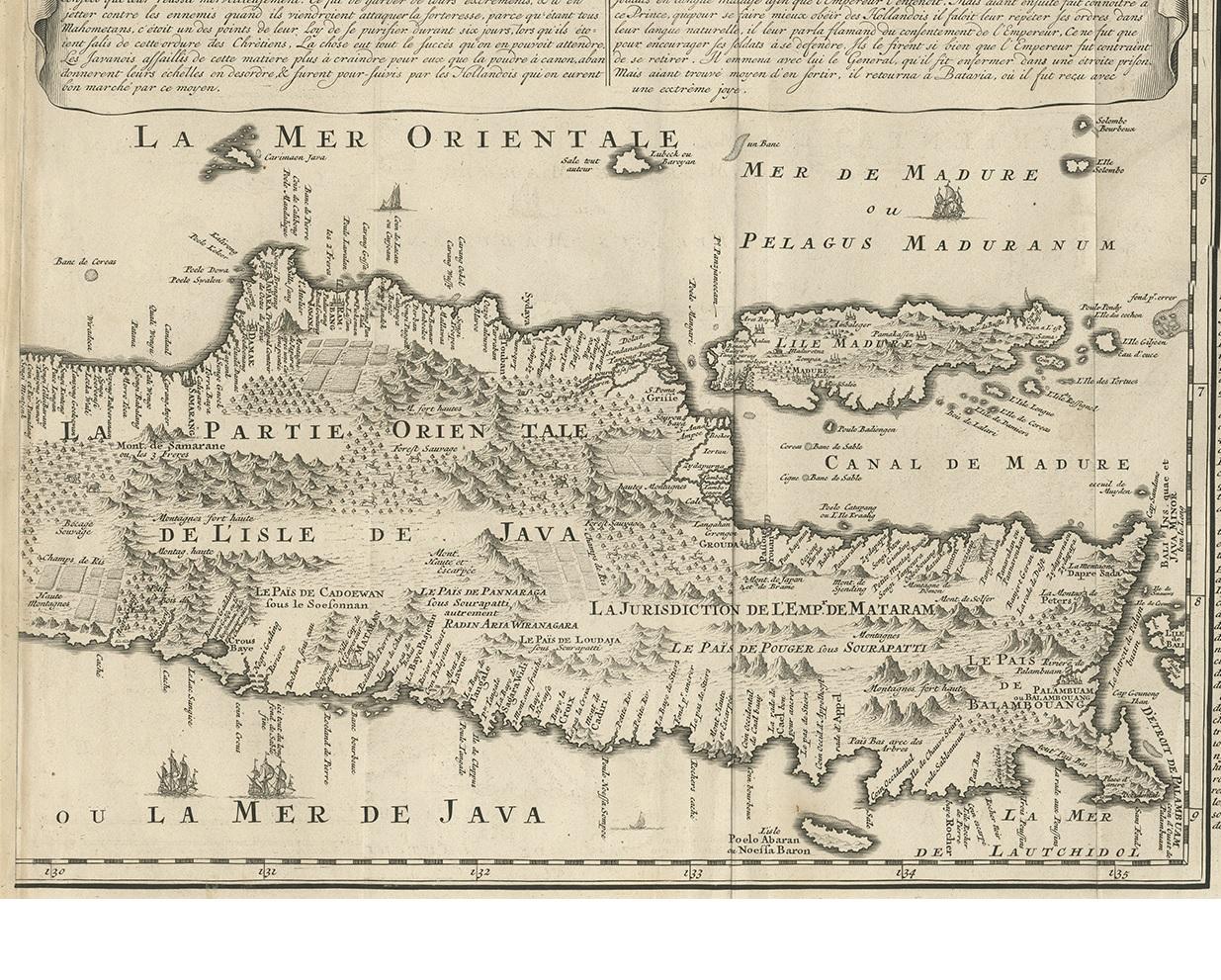
Antique Map of Java 'Indonesia' by Chatelain, 1719

€ 2 500

One of a kind: this is the sheet in the photographs. Ships from Langweer, the Netherlands.

Date
1719
Sheet size
89 × 103.5 cm (35.0 × 40.7 in)
Condition
Good
Reference
BG-11305

Condition

Please study image carefully.
About this sheet

Antique map titled 'Carte de l'Ile de Java: Partie Occidentale, Partie Orientale, Dressee tout Nouvellement Sur Les Memoires Les Plus Exacts (..)'. This beautiful map of Java exists of two seperate sheets. It also shows a large portion of Sumatra and Bali. It shows the entire island of Java with such detail that even rice plantations, grazing lands, and forests are included with accuracy. The city and port of Batavia (Jakarta) can be found in the northwest portion of the island as well as in a large insert in the lower left portion of the map. Above the map are two drapery style title banners written by Gueudeville, that present the history of the island as well as the presence of the Dutch.

More from East Indies

Ask about this sheet

Antique Map of Java 'Indonesia' by Chatelain, 1719
1719 · Ref. BG-11305 · € 2 500
We reply by email, usually within one working day.