Maps & PrintsBartele Gallery · Langweer
Home / Antique Maps / Asia / South-East Asia / East Indies

East Indies · 18th century

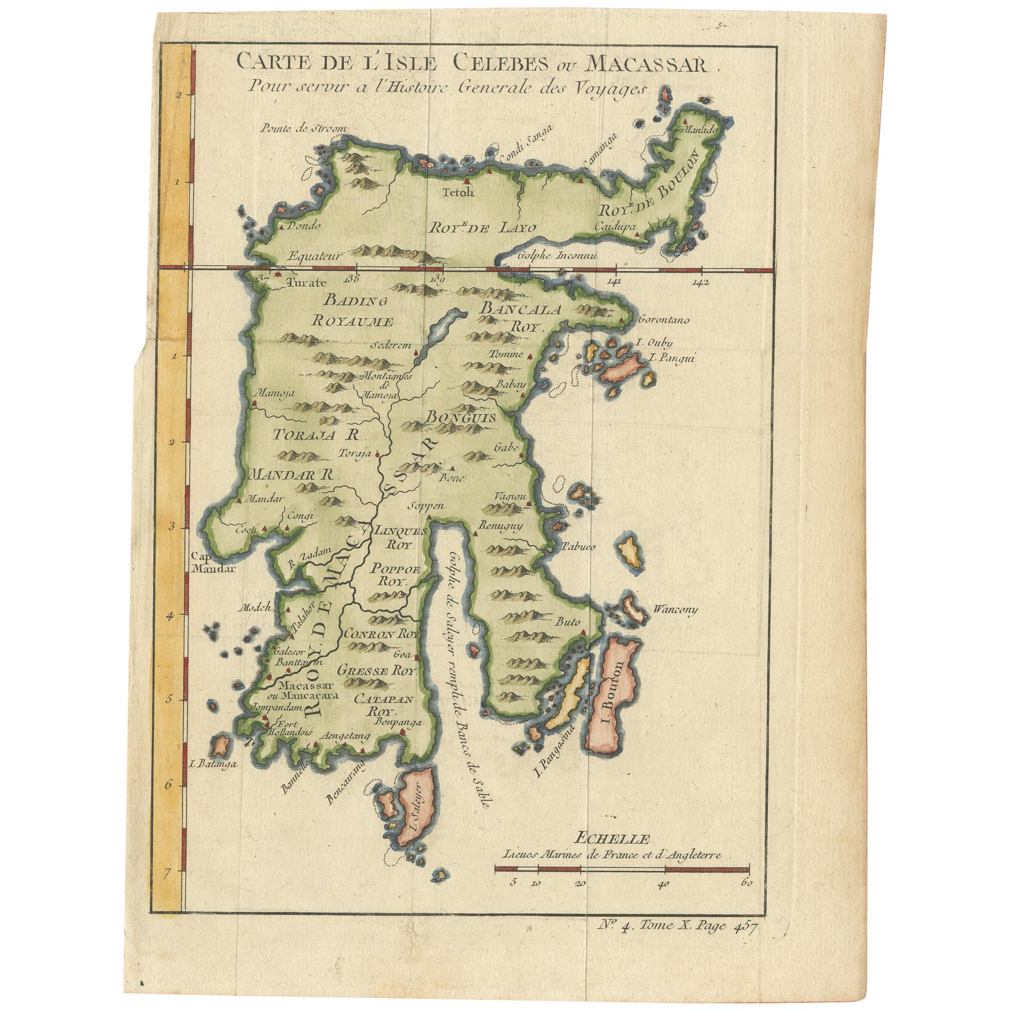
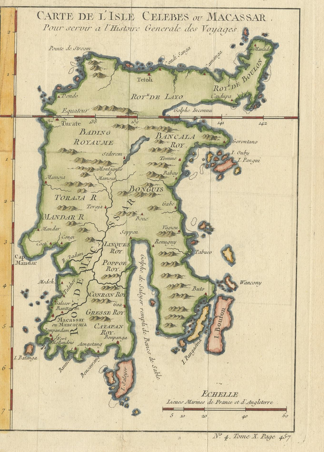
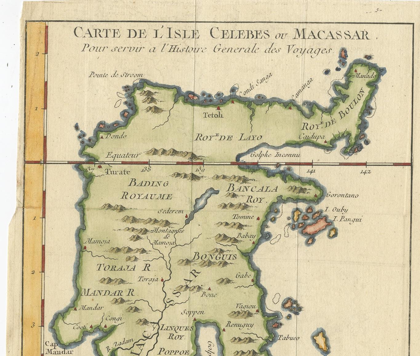
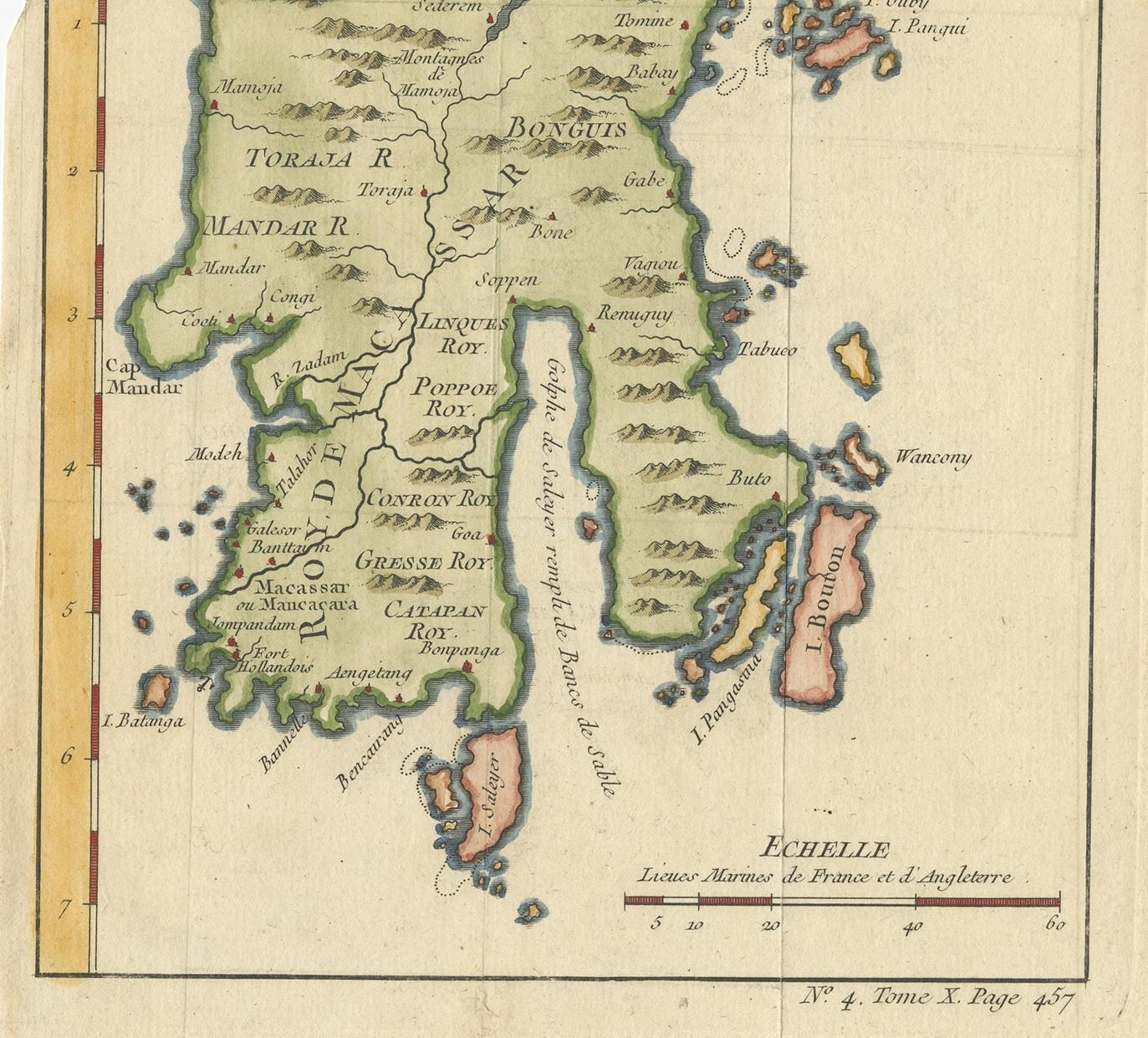
Antique Map of Celebes 'Sulawesi, Indonesia' by Bellin, ciarca 1755

€ 150

One of a kind: this is the sheet in the photographs. Ships from Langweer, the Netherlands.

Date
1755
Mapmaker / artist
Jacques-Nicolas Bellin (Artist)
Technique
Engraved
Sheet size
23.5 × 17.7 cm (9.3 × 7.0 in)
Condition
Good
Reference
BG-06722

Condition

Minor structural damages. Please study image carefully.
About this sheet

Antique map titled 'Carte de l'Isle Celebes ou Macassar'. Map of Celebes (Sulawesi, Indonesia), showing Makassar, which was the most important trading city of eastern Indonesia in the sixteenth century. Makassar traded in spices, pearls, gold and copper, with the Chinese and Arabs.

More from East Indies

Ask about this sheet

Antique Map of Celebes 'Sulawesi, Indonesia' by Bellin, ciarca 1755
1755 · Ref. BG-06722 · € 150
We reply by email, usually within one working day.