Maps & PrintsBartele Gallery · Langweer
Home / Antique Maps / Africa

Africa · 17th century

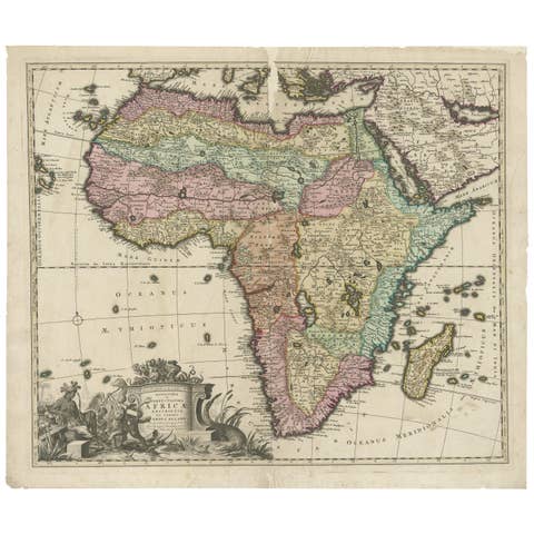
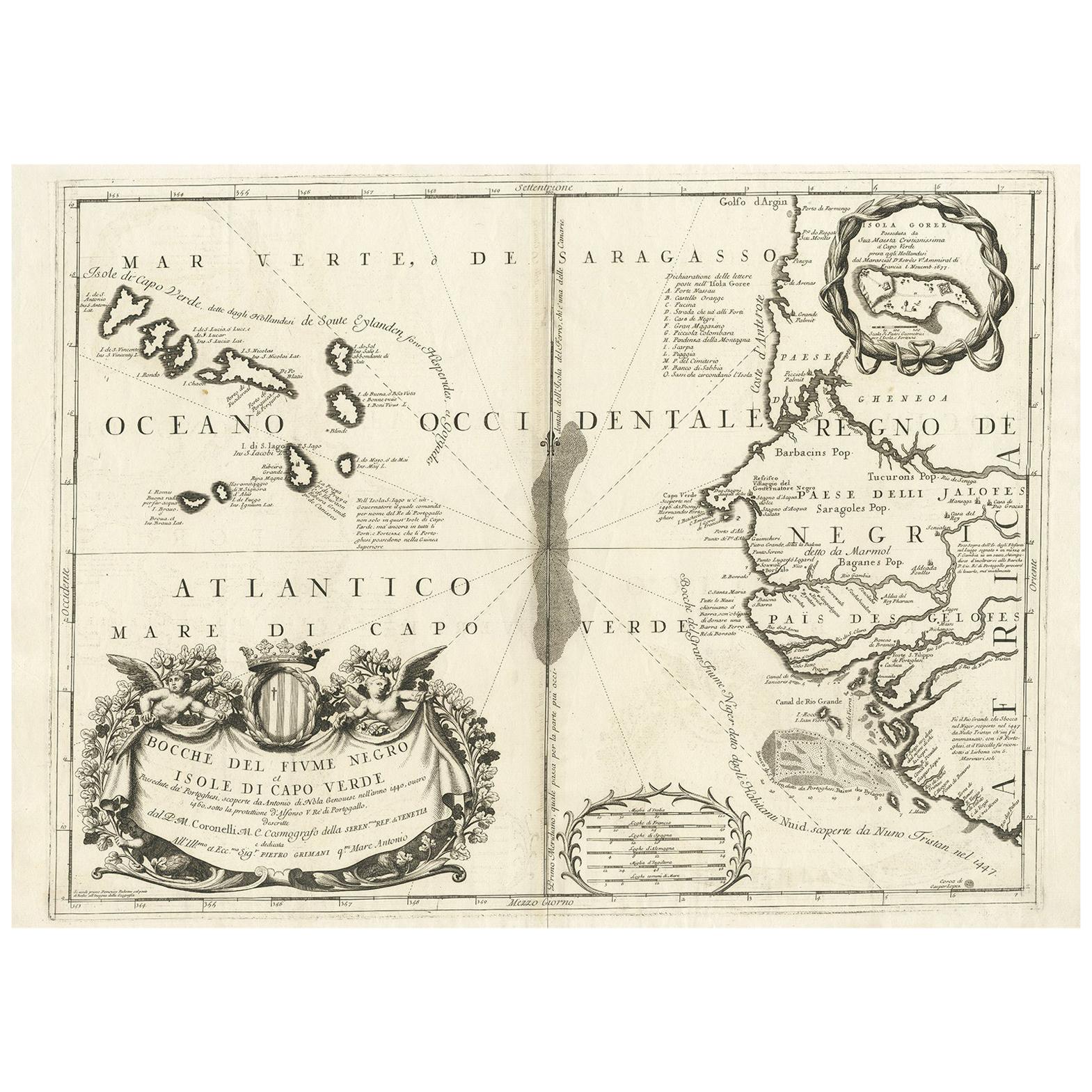
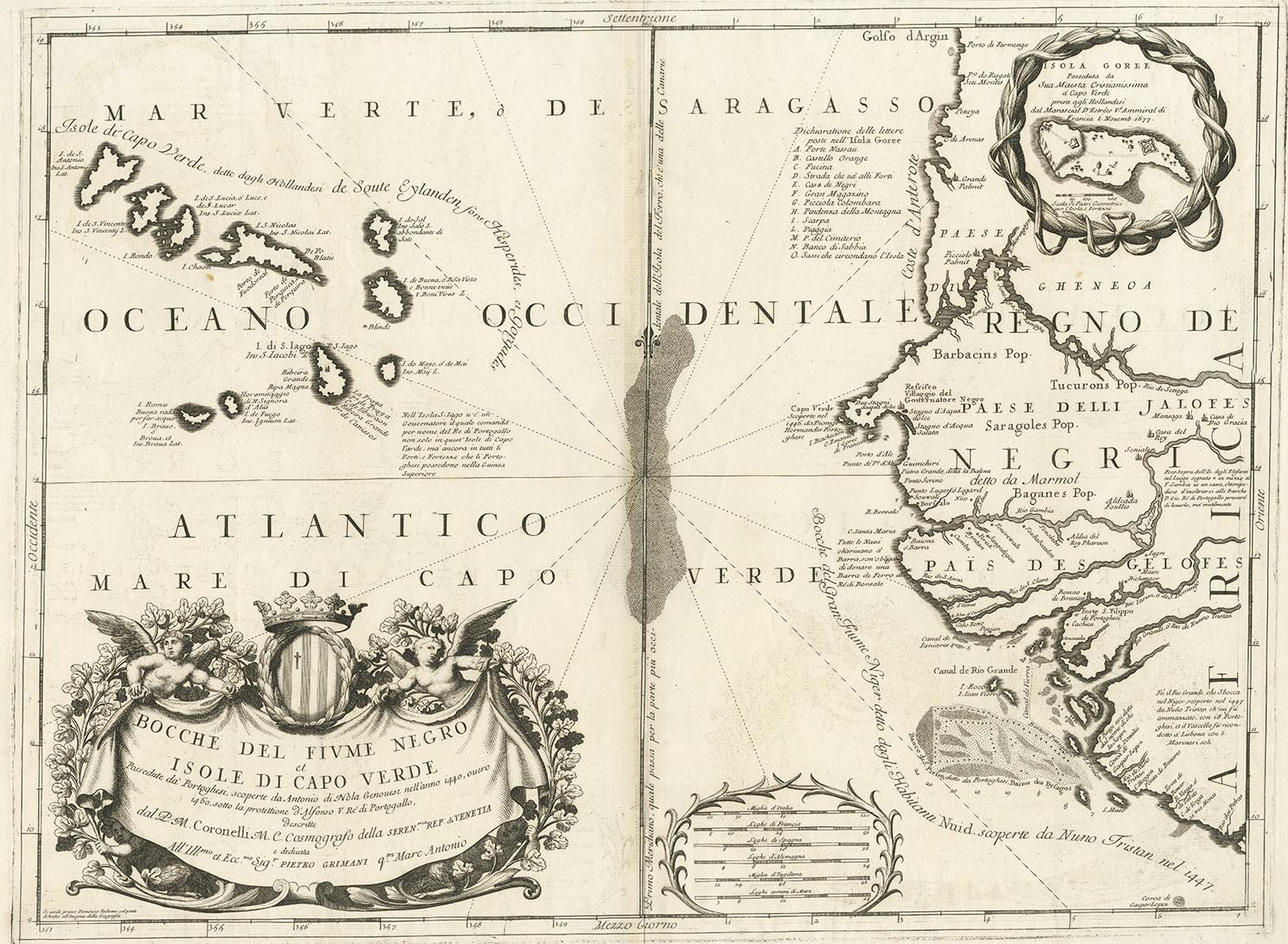
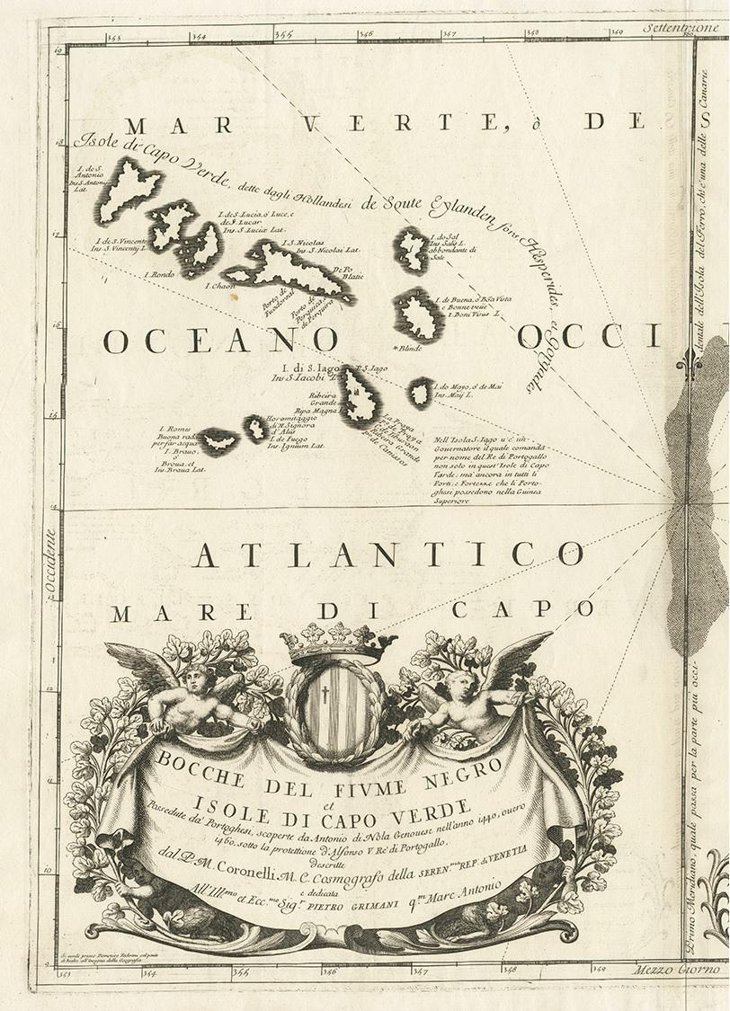
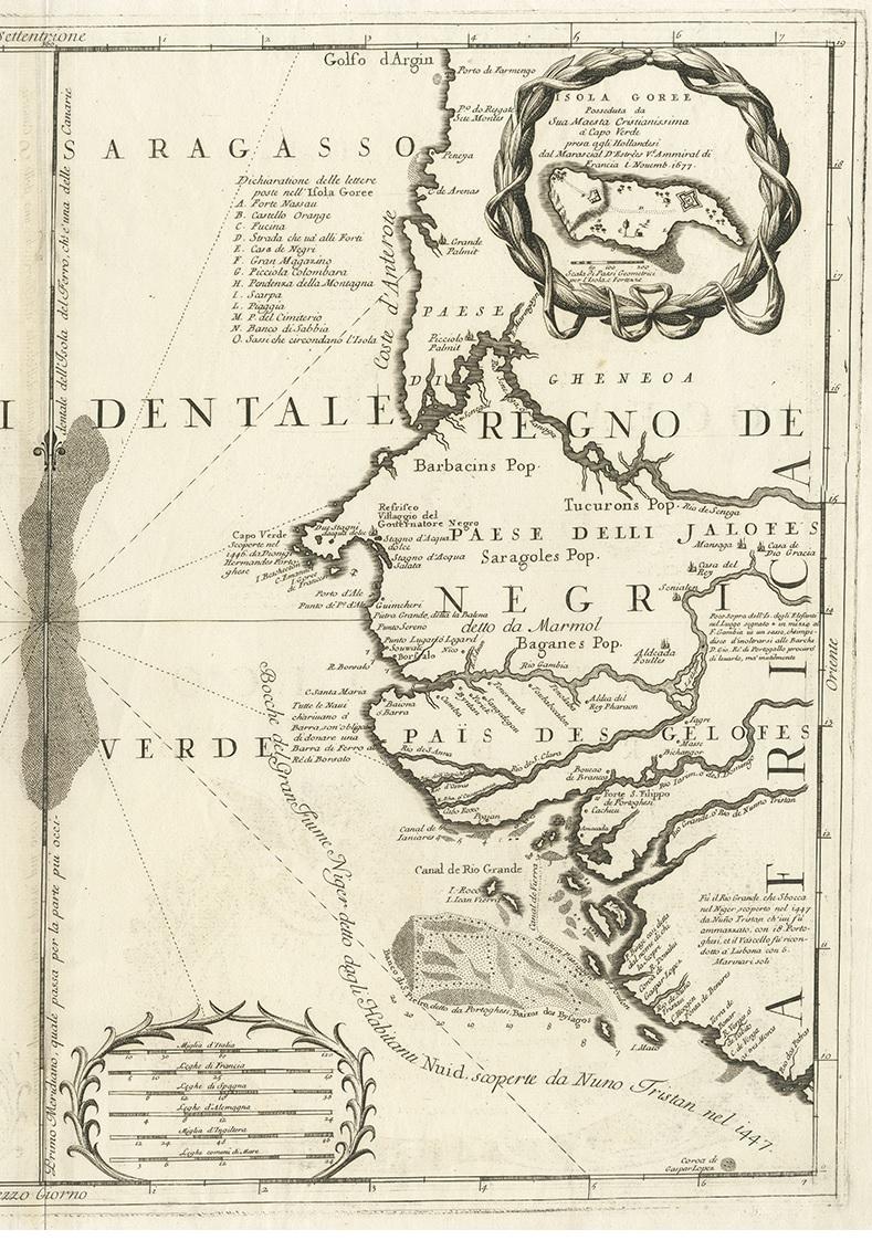
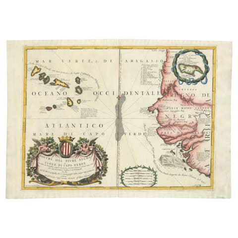
Antique Map of Western Africa and the Cape Verde Islands by Coronelli, 1691

€ 900

One of a kind: this is the sheet in the photographs. Ships from Langweer, the Netherlands.

Date
1691
Mapmaker / artist
G. Albrizzi (Author),Vincenzo Coronelli (Artist)
Technique
Engraved
Sheet size
48.5 × 66 cm (19.1 × 26.0 in)
Condition
Good
Reference
BG-11321

Condition

Good. Please study image carefully.
About this sheet

Antique map titled 'Bocche del Fiume Negro et Isole di Capo Verde'. Antique map of Western Africa with the Cape Verde Islands and an inset of Goree Island. Originates from 'Atlante Veneto, nel quale si contiene la descrittione (..)'. by G. Albrizzi, 1691.

More from Africa

Ask about this sheet

Antique Map of Western Africa and the Cape Verde Islands by Coronelli, 1691
1691 · Ref. BG-11321 · € 900
We reply by email, usually within one working day.