About this sheet
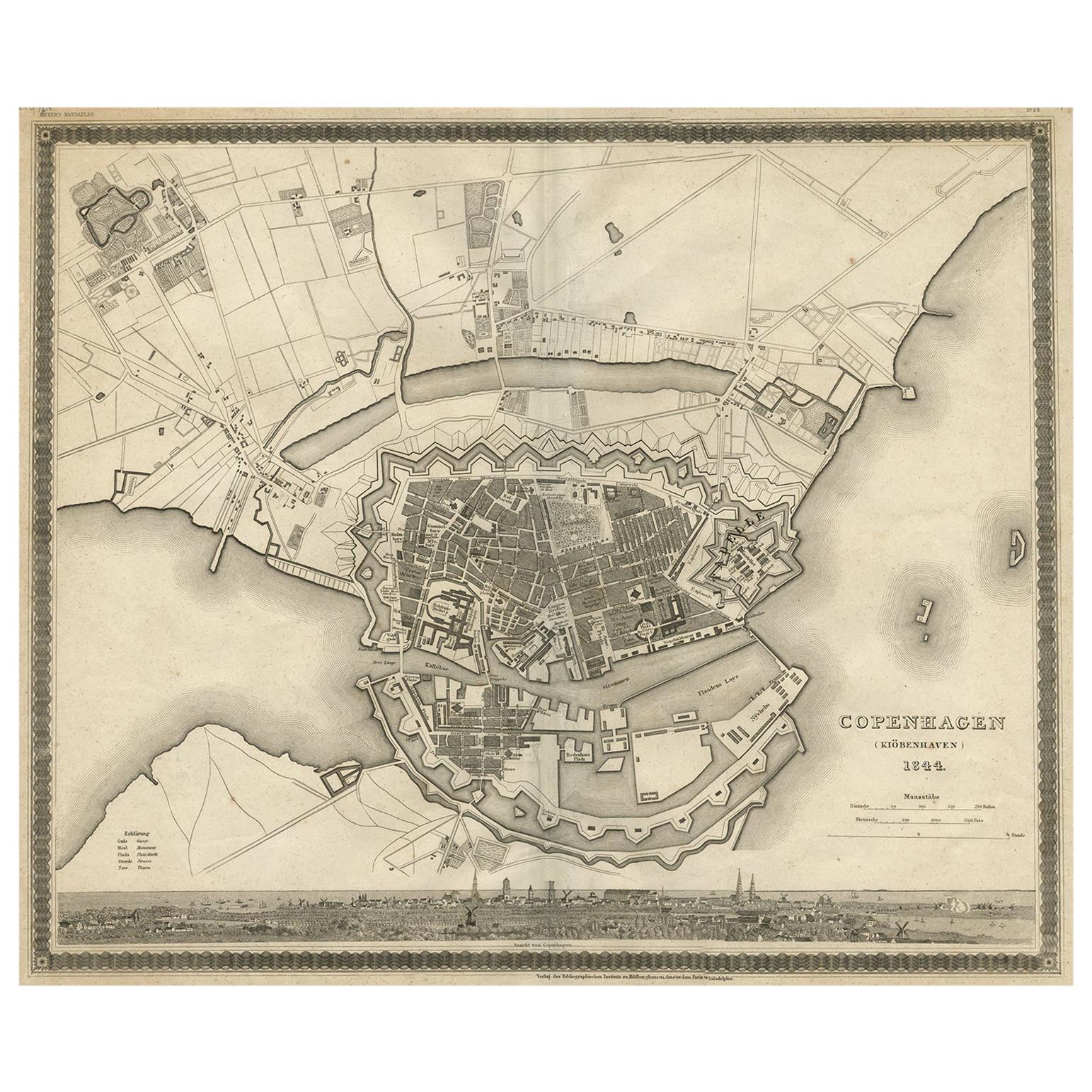
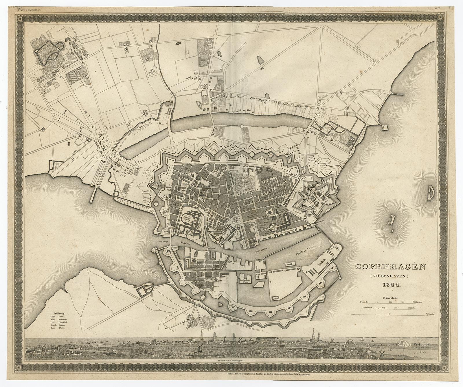
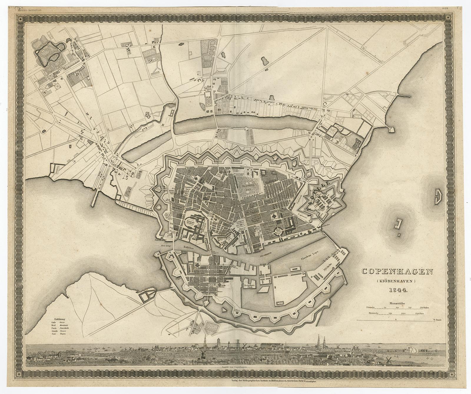
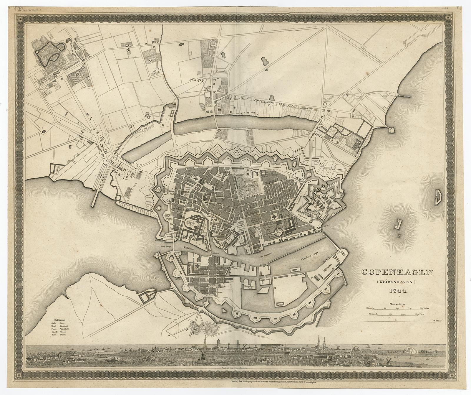
Copenhagen (Kiöbenhaven) Map with City View – Antique German Atlas Print, 1844
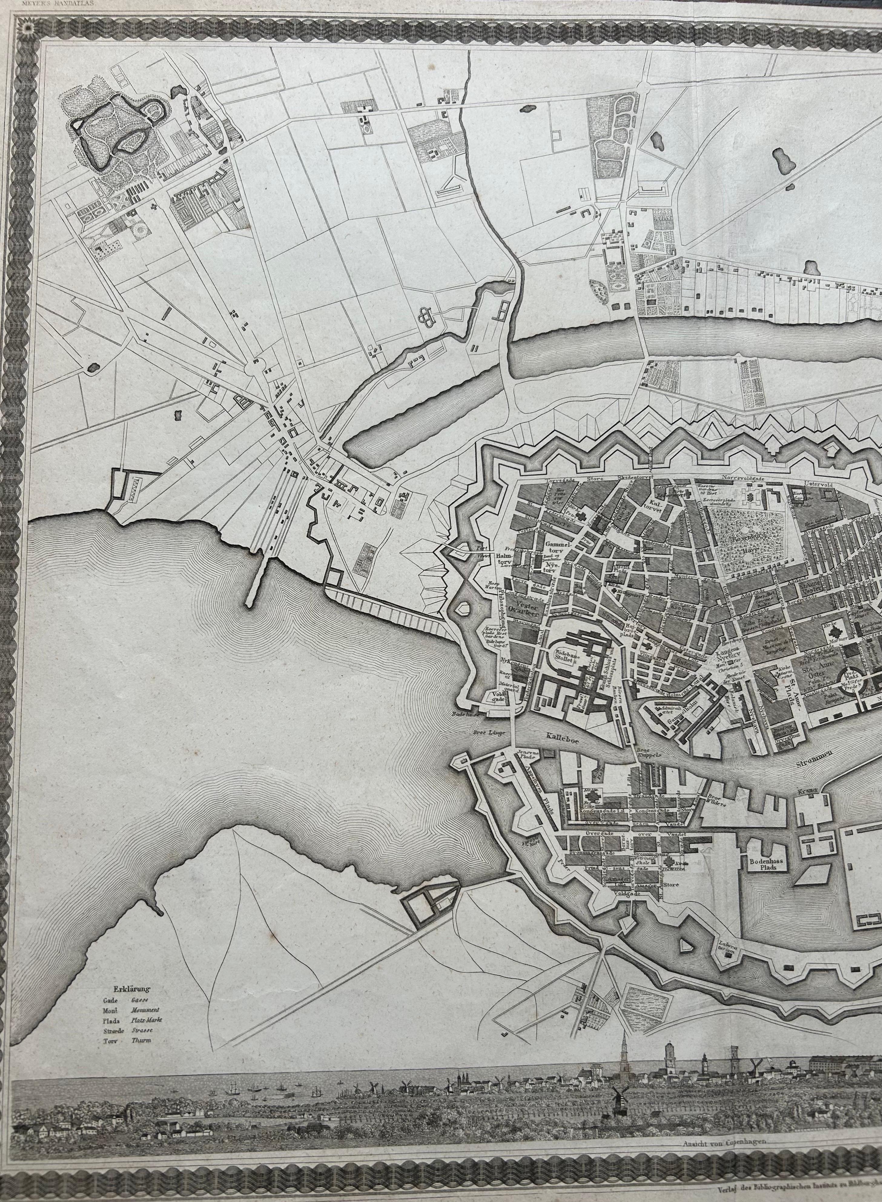
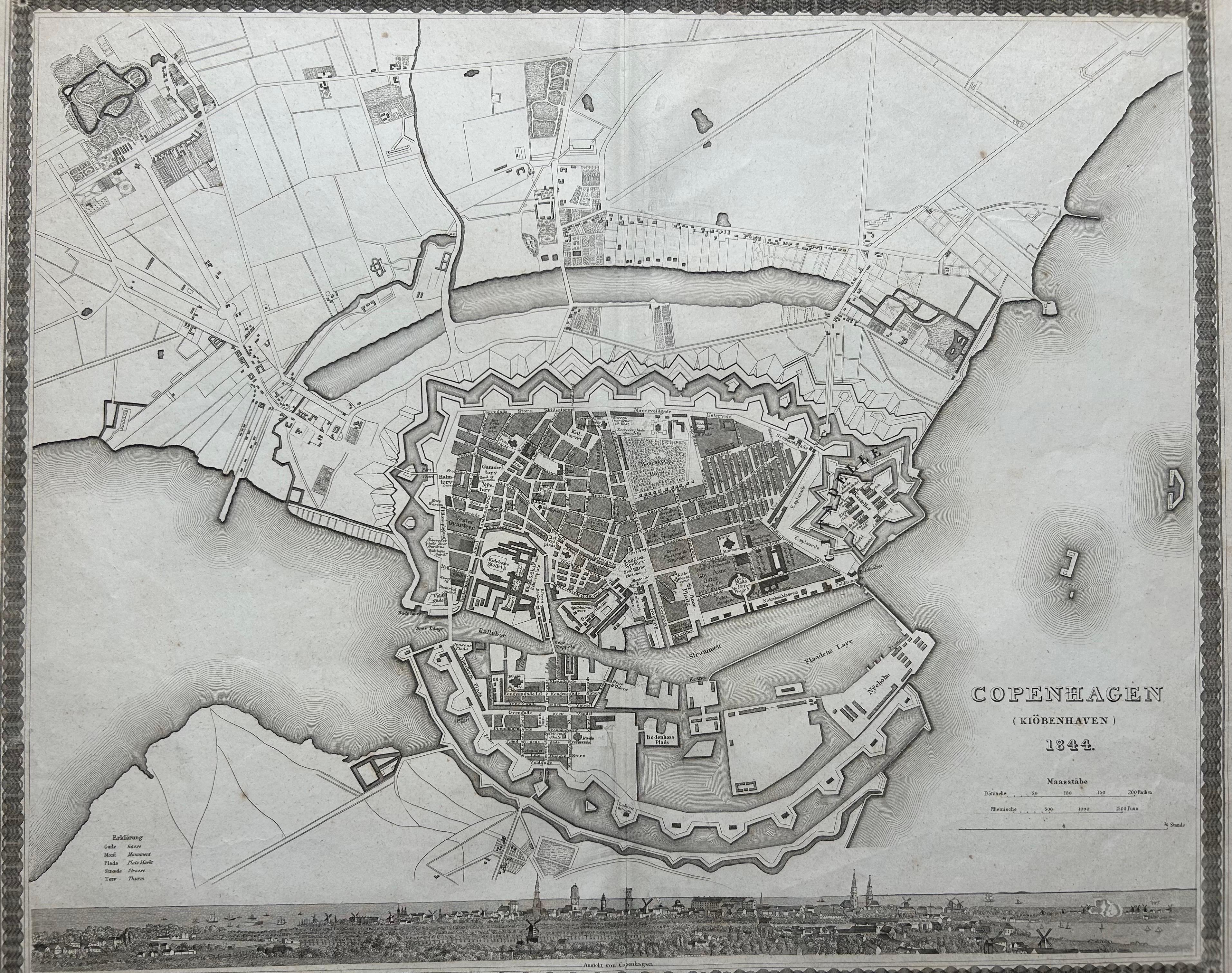
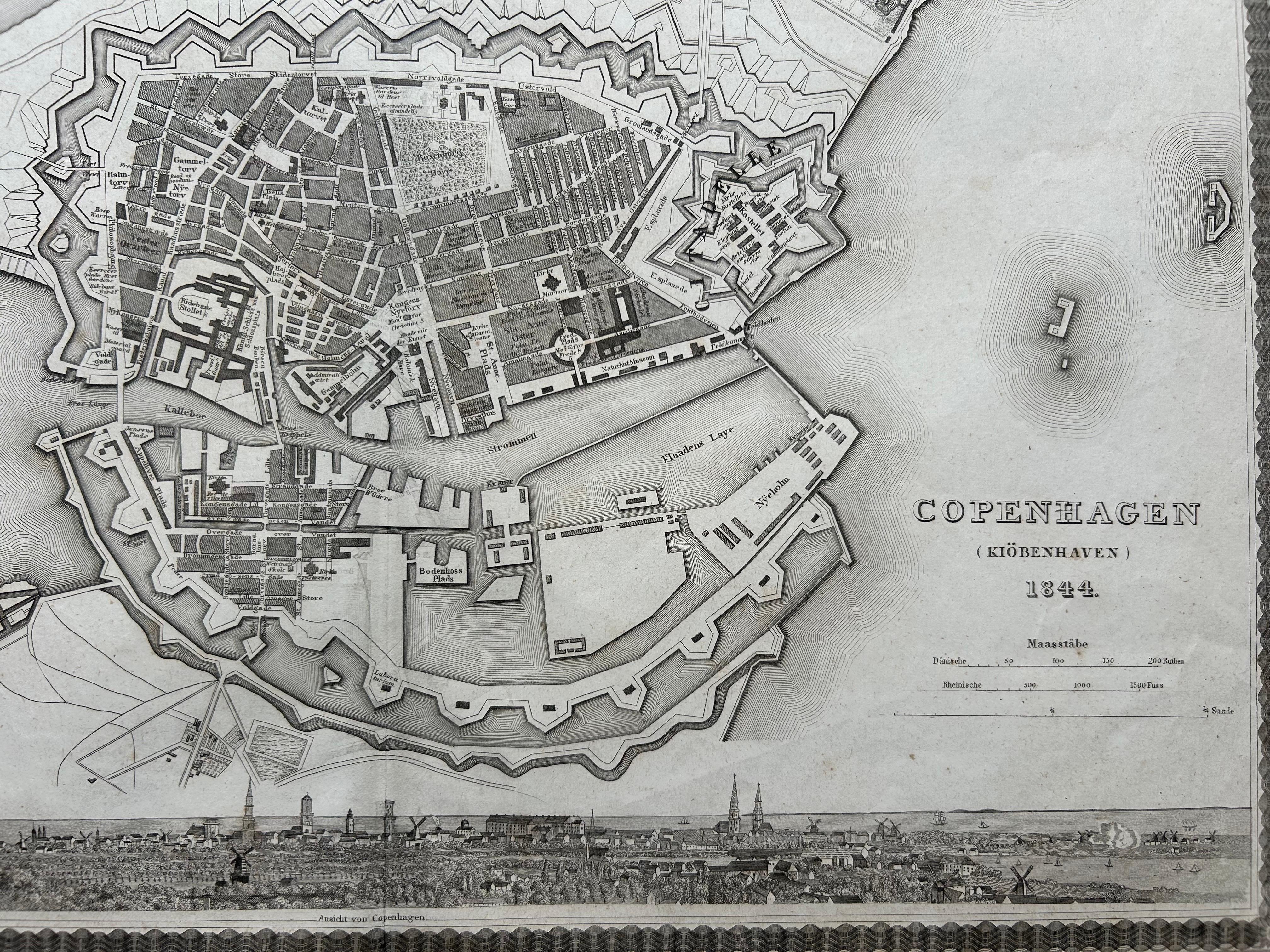
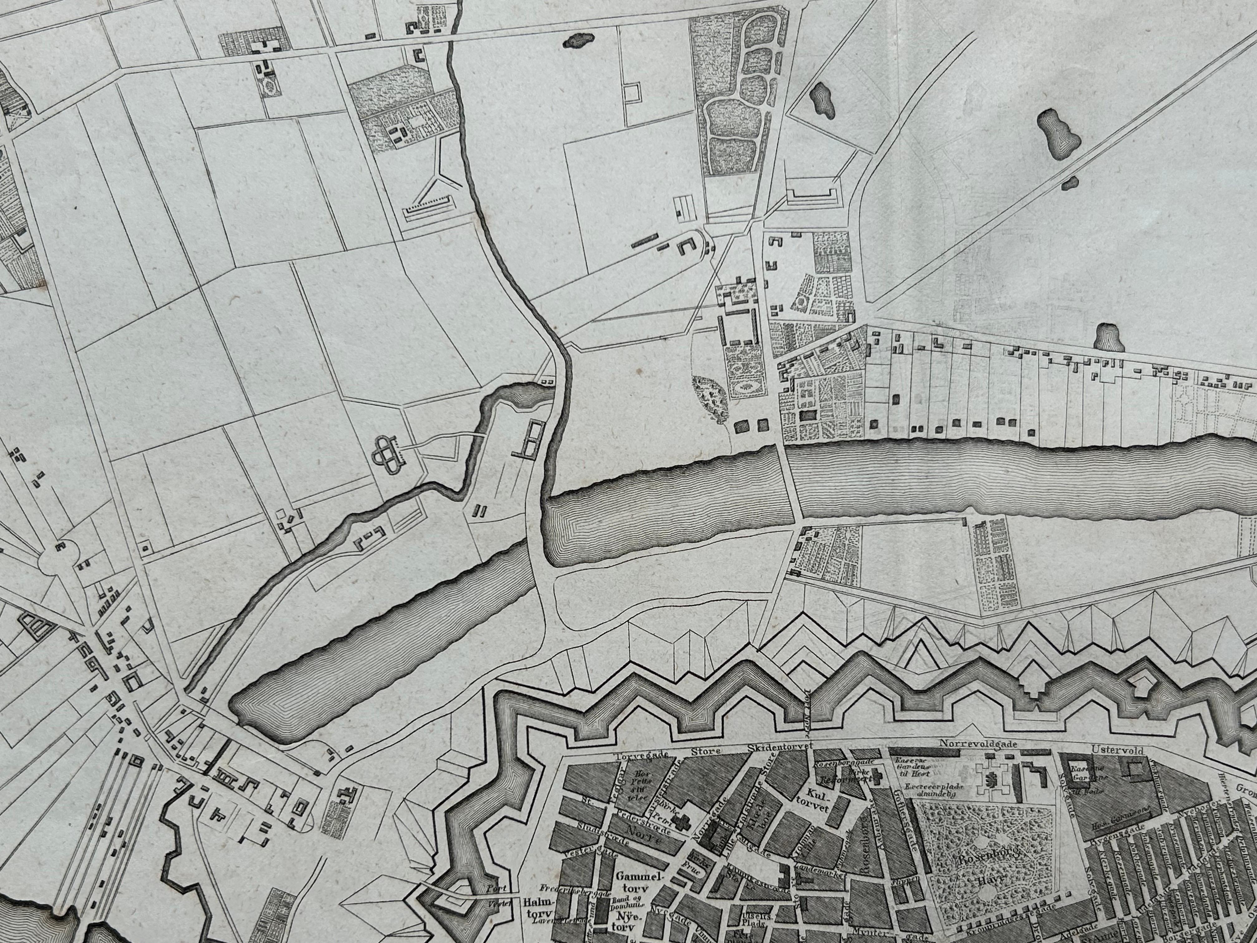
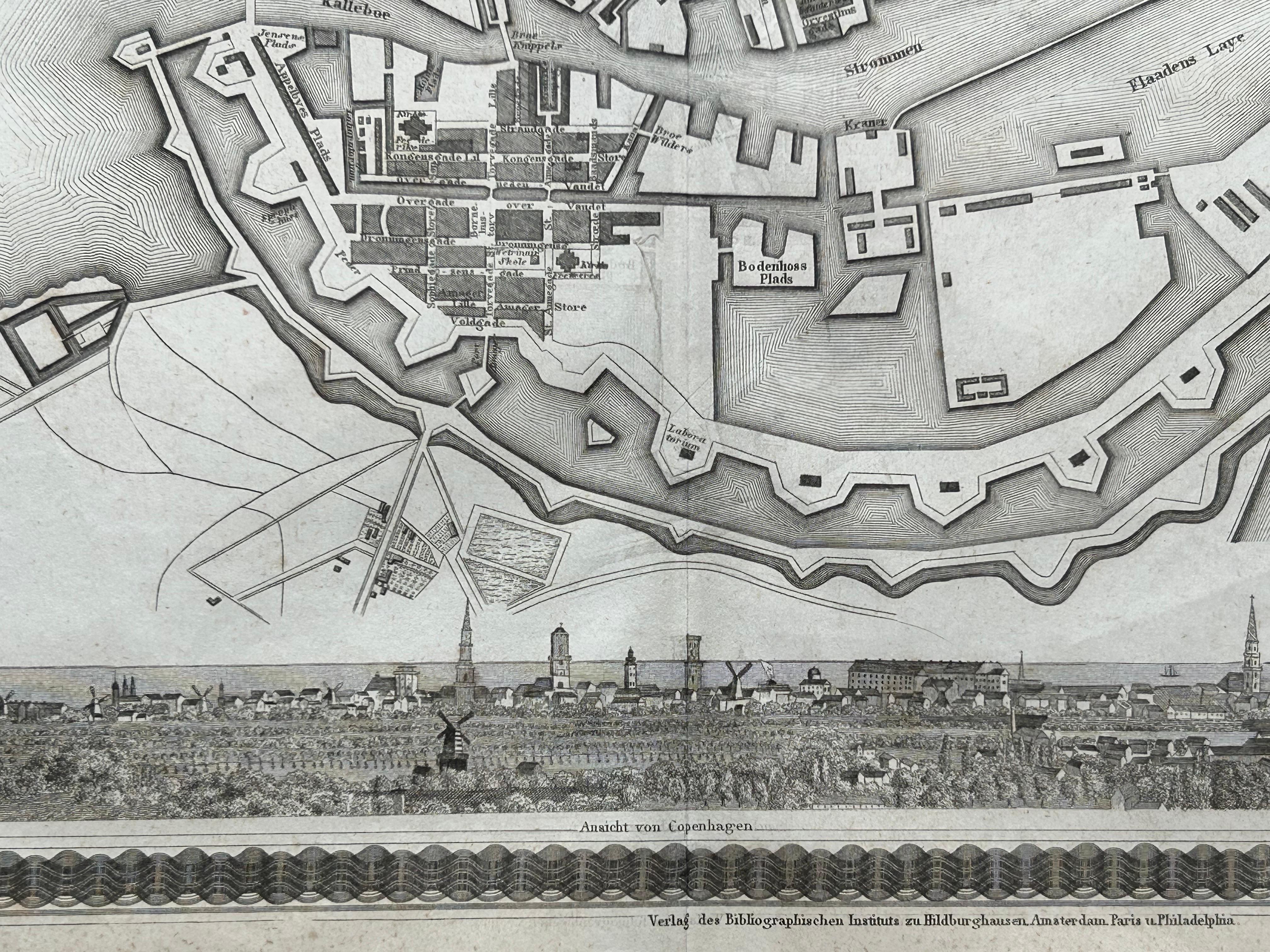
This finely detailed antique map titled 'Copenhagen (Kiöbenhaven)' presents a historical view of Denmark's capital in 1844. Produced by the German cartographer J. Meyer and published in his celebrated Meyer's Handatlas, this map combines precise cartographic detail with artistic embellishment, including a charming panoramic city view at the bottom edge. The layout captures the old fortifications, canals, and street plan of the city as it was in the mid-19th century, offering a fascinating glimpse into Copenhagen’s past urban structure.
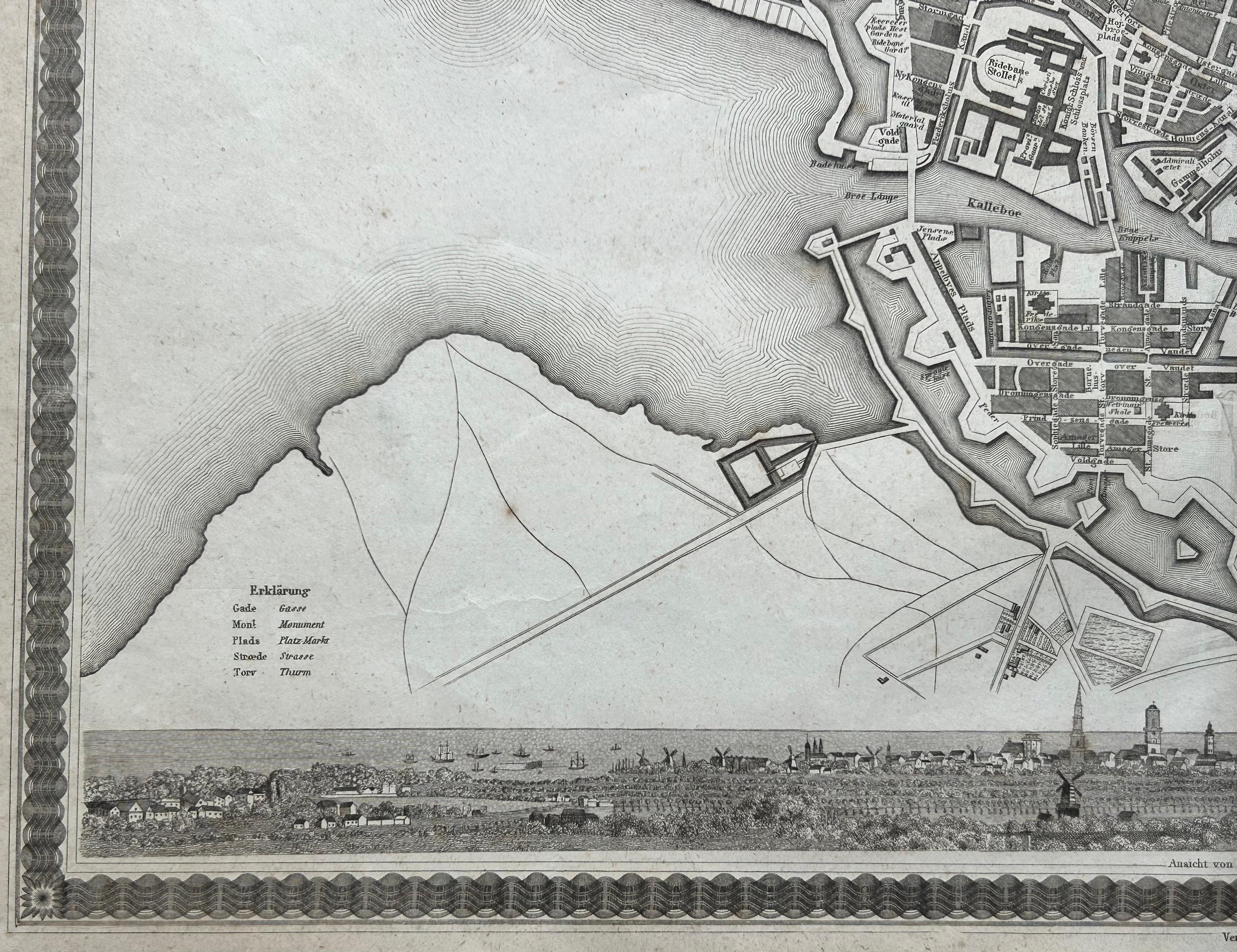
J. Meyer’s Handatlas was known for its high-quality steel engravings and informative cartographic representations. This particular map stands out not only for its urban accuracy but also for its attractive border and finely engraved decorative elements. The inclusion of a German-language explanation adds to its historical interest, reflecting its origin in a time when German atlases held high prestige among European readers.
The walled city, detailed in the center, shows roads radiating outward into the countryside, along with harbor fortifications and docks that speak to Copenhagen’s maritime importance. Key landmarks and thoroughfares are clearly delineated, and the elegant city panorama enriches the composition, making it not just informative but also visually engaging.
This map is an excellent example of mid-19th-century European urban cartography. It appeals to collectors interested in Scandinavian history, antique town plans, or decorative engravings.
Condition report: Very good condition. Vertical fold line. Light foxing in outer margins. No tears or repairs. Engraving remains strong and detailed.
Framing tips: A dark wood or black frame pairs well with the monochrome aesthetic. Consider a warm white or pale grey mat to enhance the contrast and preserve the historical atmosphere.