Maps & PrintsBartele Gallery · Langweer
Home / Antique Maps / America / South America

South America · 19th century

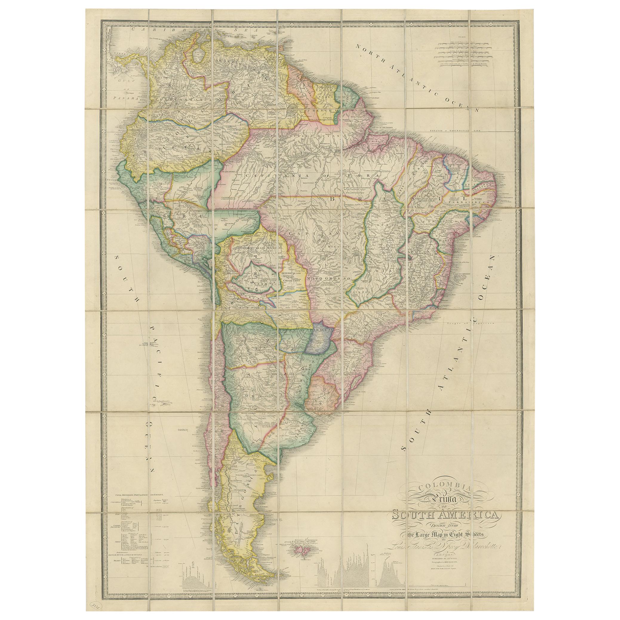
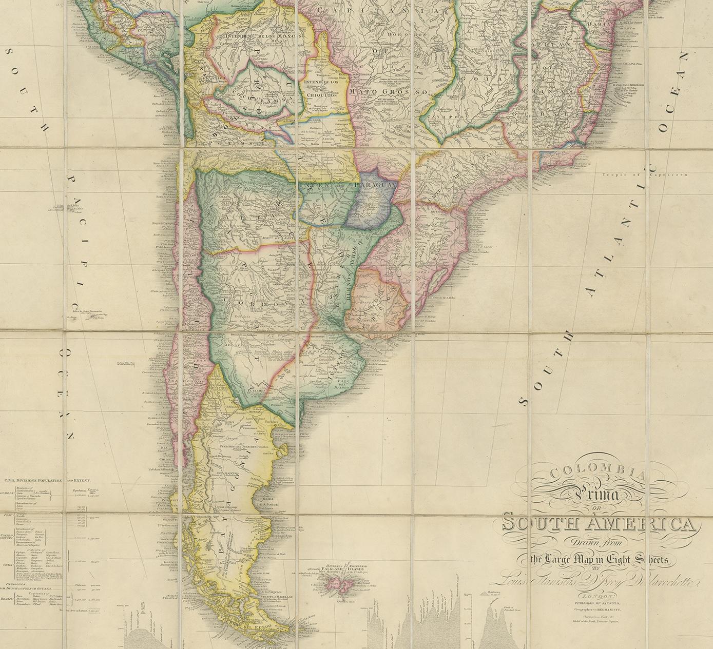
Antique Map of South America by Wyld, circa 1850

€ 1 950

One of a kind: this is the sheet in the photographs. Ships from Langweer, the Netherlands.

Date
1850
Mapmaker / artist
J. Wyld (Artist)
Sheet size
109 × 78 cm (42.9 × 30.7 in)
Condition
Good
Reference
BG-11621

Condition

Some light wear and age-related toning. Original slipcase included. Please study images carefully.
About this sheet

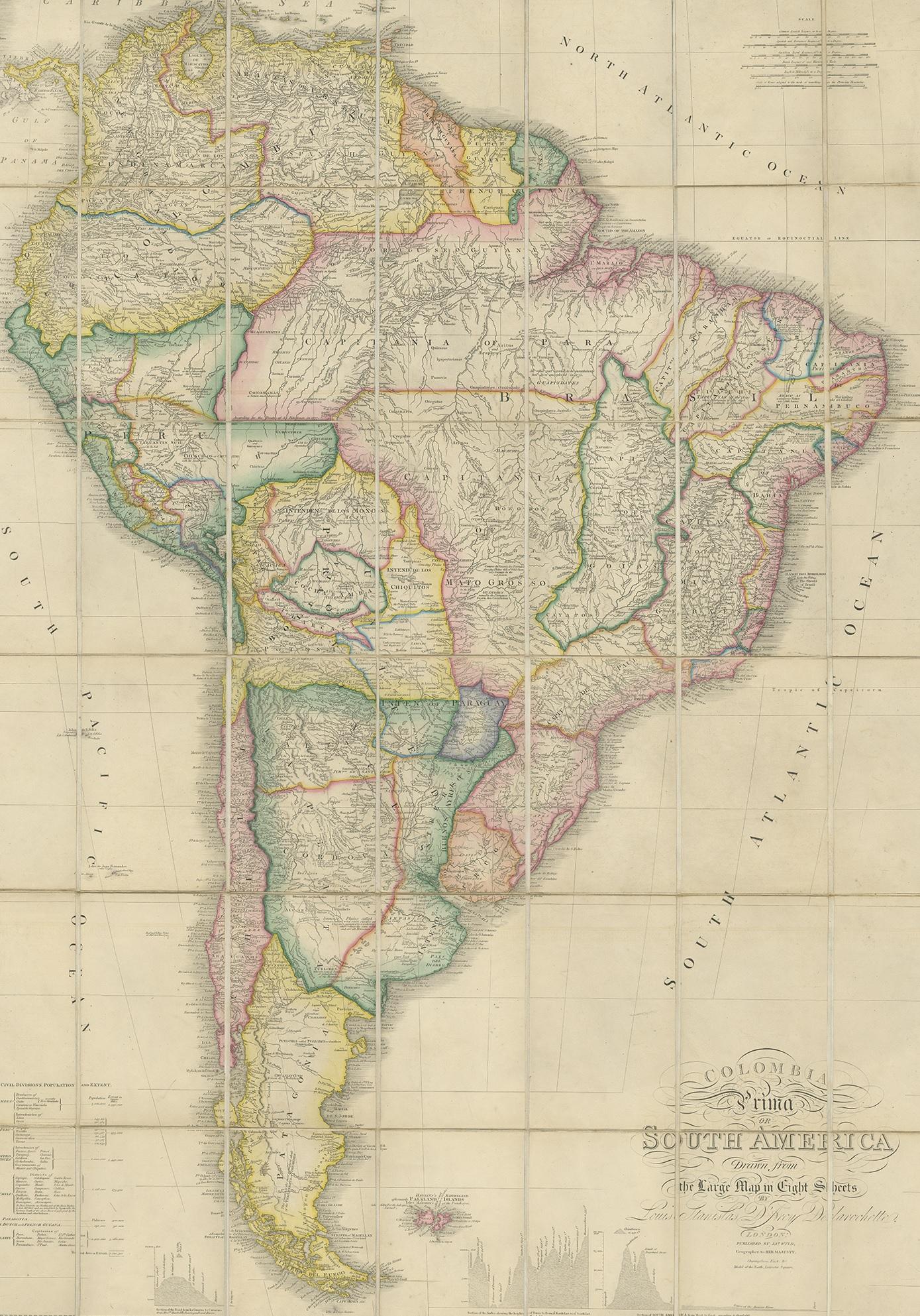
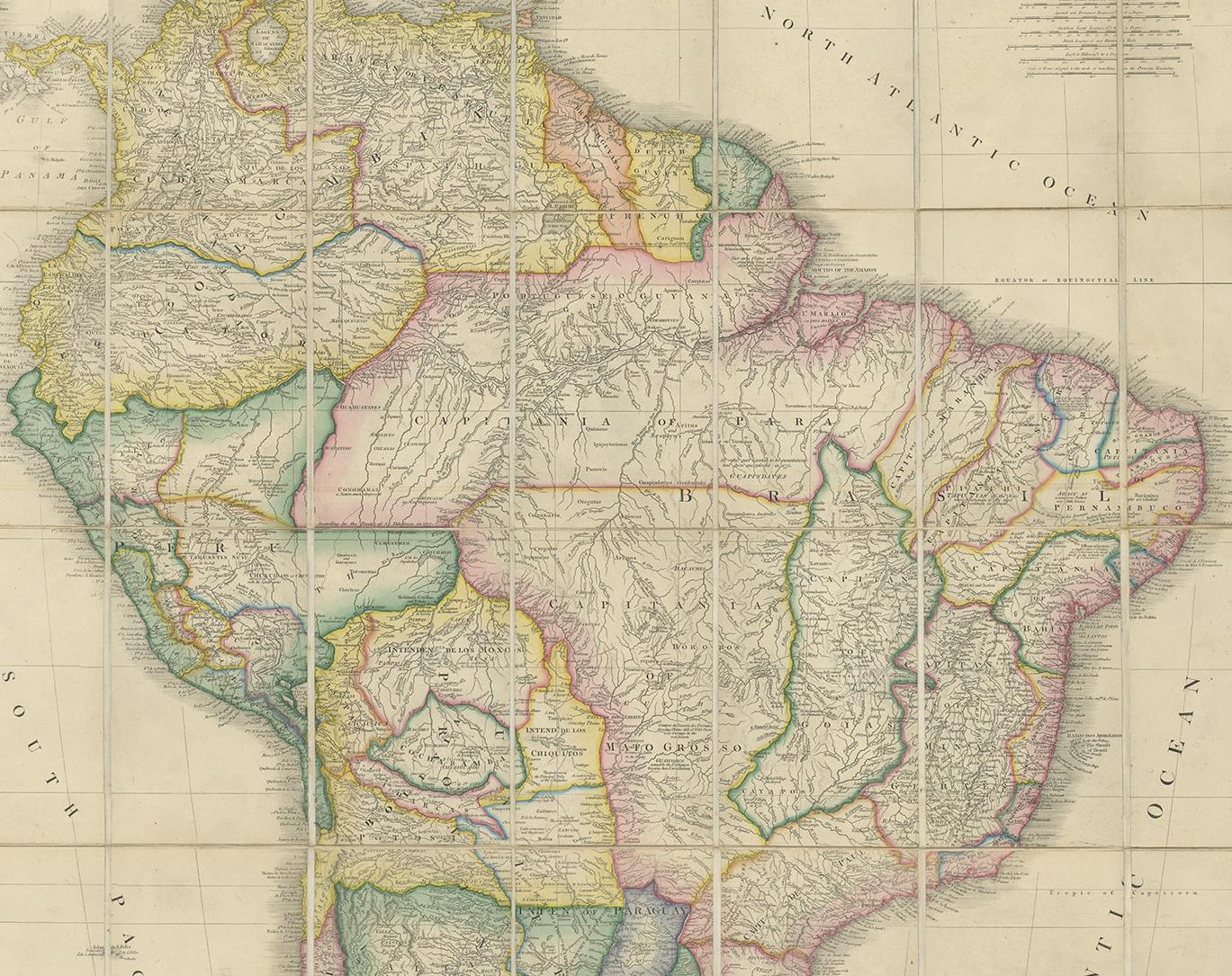
Beautiful folding map of South America titled 'Colombia Prima or South America Drawn from the Large Map in Eight Sheets by Louis Stanislas D ' Arcy Delarochette'. Three insets in the lower portion of the map present data from Humboldt's report in the form of topographical profiles: "Section of the Andes…," "Section of South America from West to East…," and "Section of the Road from La Guayra to Caracas." Also included is a comparative distance table and an index titled "Civil Divisions, Population and Extent" for Colombia, Peru, the United Provinces, Chili, Patagonia, Brazil and Guyanas.

More from South America

Ask about this sheet

Antique Map of South America by Wyld, circa 1850
1850 · Ref. BG-11621 · € 1 950
We reply by email, usually within one working day.