Antique Maps
2,327 original sheets
Europe 3023Asia 1110Africa 236America 548Australia & Oceania 159World Maps 111Sea Charts 209Celestial Maps 22
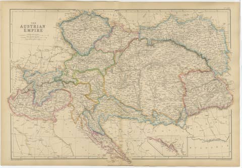
Original Antique Map of the Austrian Empire, Austria-Hungary c.1860
1860 · € 460
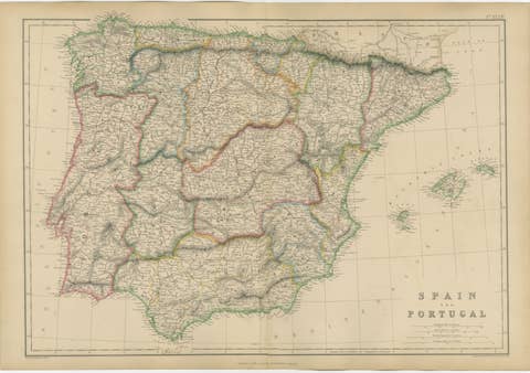
Original Antique Map of Spain and Portugal, Iberian Peninsula c.1860
1860 · € 390

Original Antique Map of Hungary, Transylvania, Dalmatia & Croatia c.1860
1860 · € 430
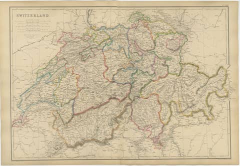
Original Antique Map of Switzerland, Swiss Confederation c.1860
1860 · € 440
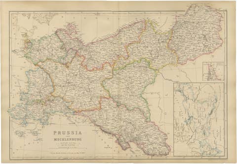
Original Antique Map of Prussia and Mecklenburg, Germany c.1860
1860 · € 440
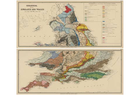
Antique Geological Map of England & Wales, Hand-Colored, c.1880
1880 · € 1 150
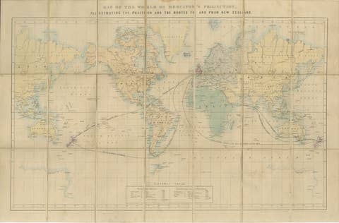
World Mail and Passenger Routes to New Zealand, 1883
1883 · € 610
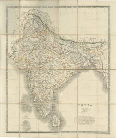
Johnston's Travelling Map of India on Linen in Original Cloth, 1857
1857 · € 1 010
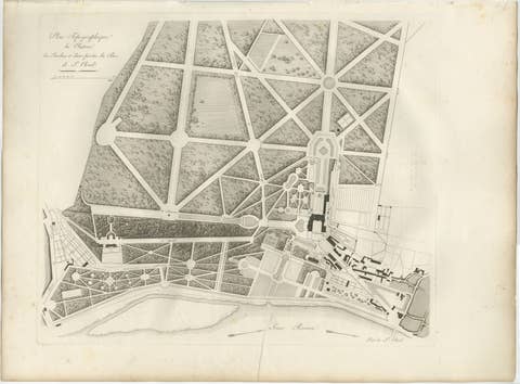
Plan of the Château and Gardens of Saint-Cloud by Baltard, Paris, 1803
1803 · € 425
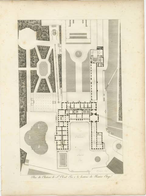
Plan of the Château de Saint-Cloud First Floor by Baltard, Paris, 1803
1803 · € 525
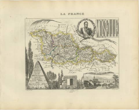
Antique Decorative Map of Moselle, France by Vuillemin, circa 1850
1850 · € 250
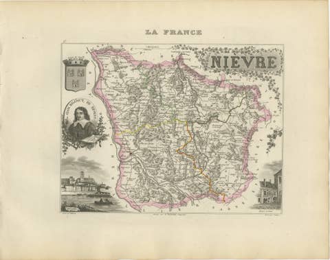
Antique Decorative Map of Nièvre, France by Vuillemin, circa 1850
1850 · € 280
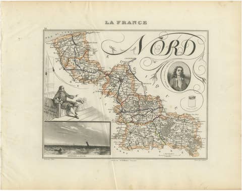
Antique Decorative Map of Nord, France by Vuillemin, circa 1850
1850 · € 220
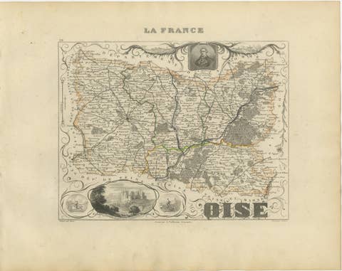
Antique Decorative Map of Oise, France by Vuillemin, circa 1850
1850 · € 220
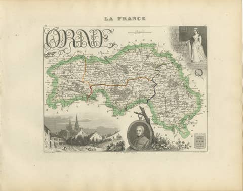
Antique Decorative Map of Orne, Normandy by Vuillemin, circa 1850
1850 · € 290
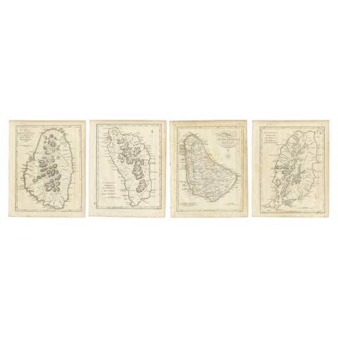
Set of Four Antique Maps of Caribbean Islands by Bryan Edwards, 1818
1818 · € 440
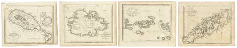
Antique Caribbean Maps of St. Kitts, Antigua, Virgin Islands & Tobago, 1818
1818 · € 360
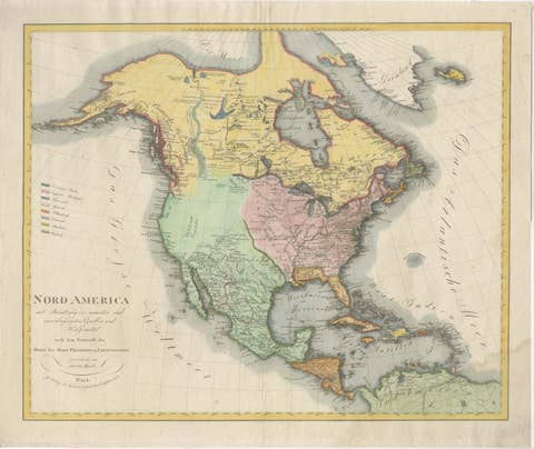
Large Antique Map of North America, United States & Canada, 1806
1806 · € 855

Large Antique Map of North & South America by Weiland, 1826
1826 · € 545
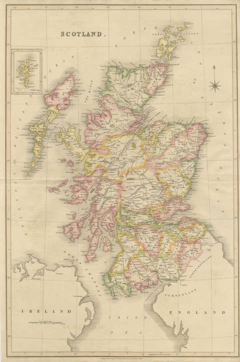
Antique Map of Scotland by T. L. Murray with Original Color, 1830
1830 · € 495
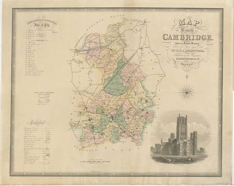
Antique Map of Cambridgeshire with Ely Cathedral by Greenwood, 1834
1834 · € 795

Large Hand-Colored Map of Cambridgeshire by Greenwood, 1834
1834 · € 510
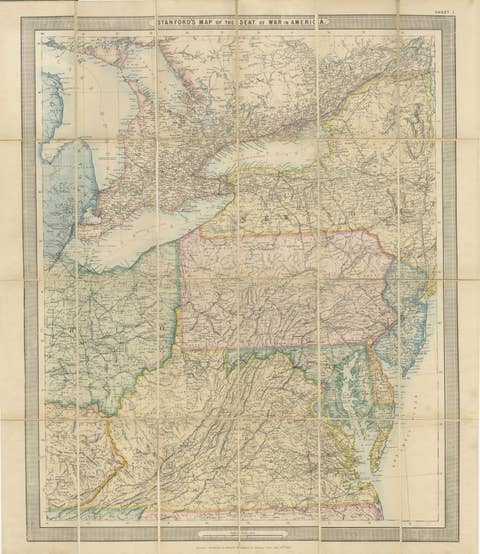
American Civil War “Seat of War” Map, Published Just After Bull Run, 1861
1861 · € 1 940