About this sheet
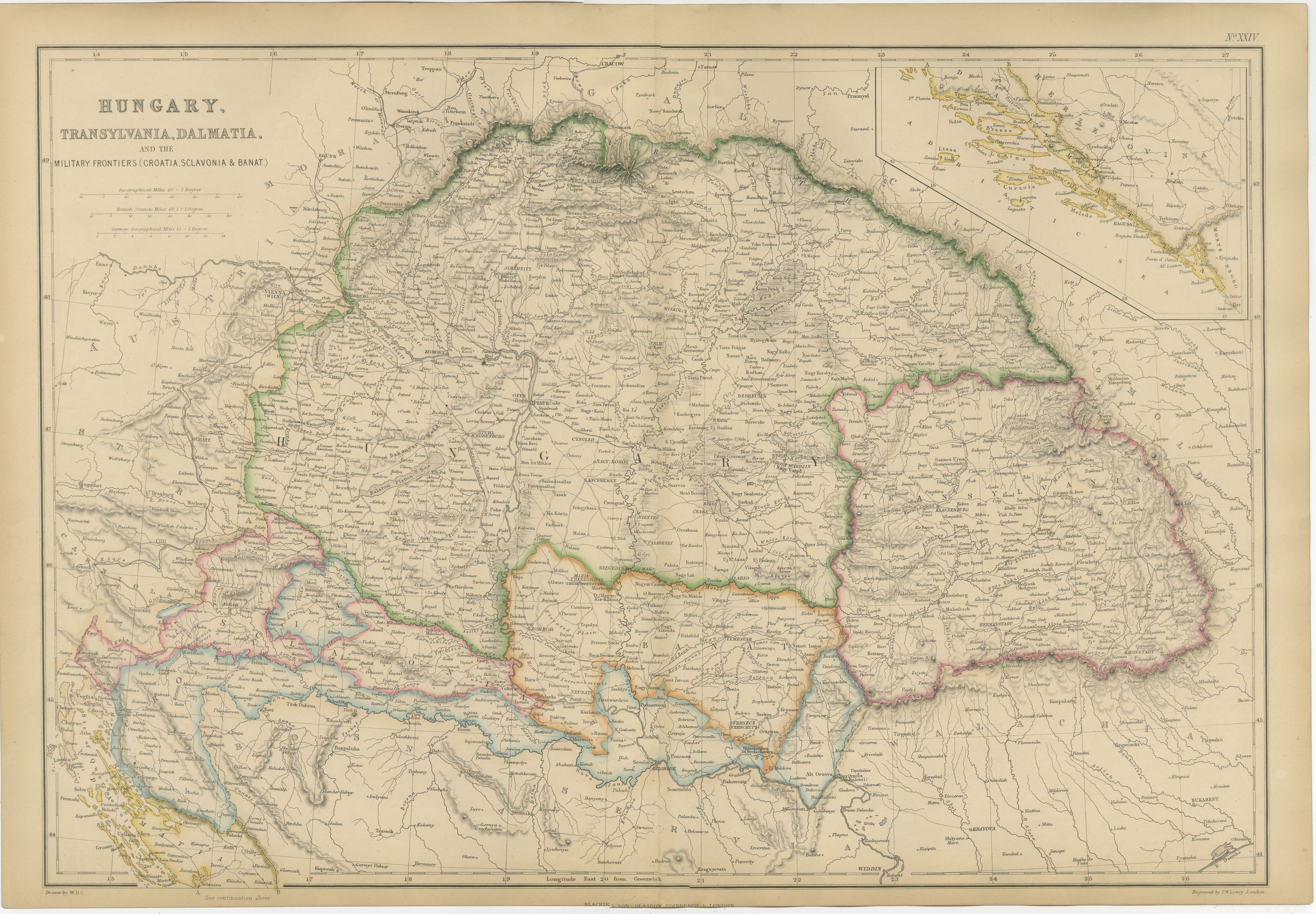
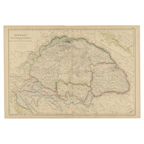
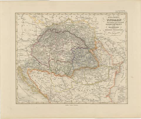
This highly detailed original antique map depicts the Kingdom of Hungary and its associated territories within the Habsburg Empire during the mid-nineteenth century. Published by the renowned Scottish firm Blackie & Son around 1860, the map covers Hungary, Transylvania, Dalmatia, Croatia, Slavonia, Banat, and the Military Frontier, providing an exceptional record of Central and Southeastern Europe during a period of significant political and cultural change.
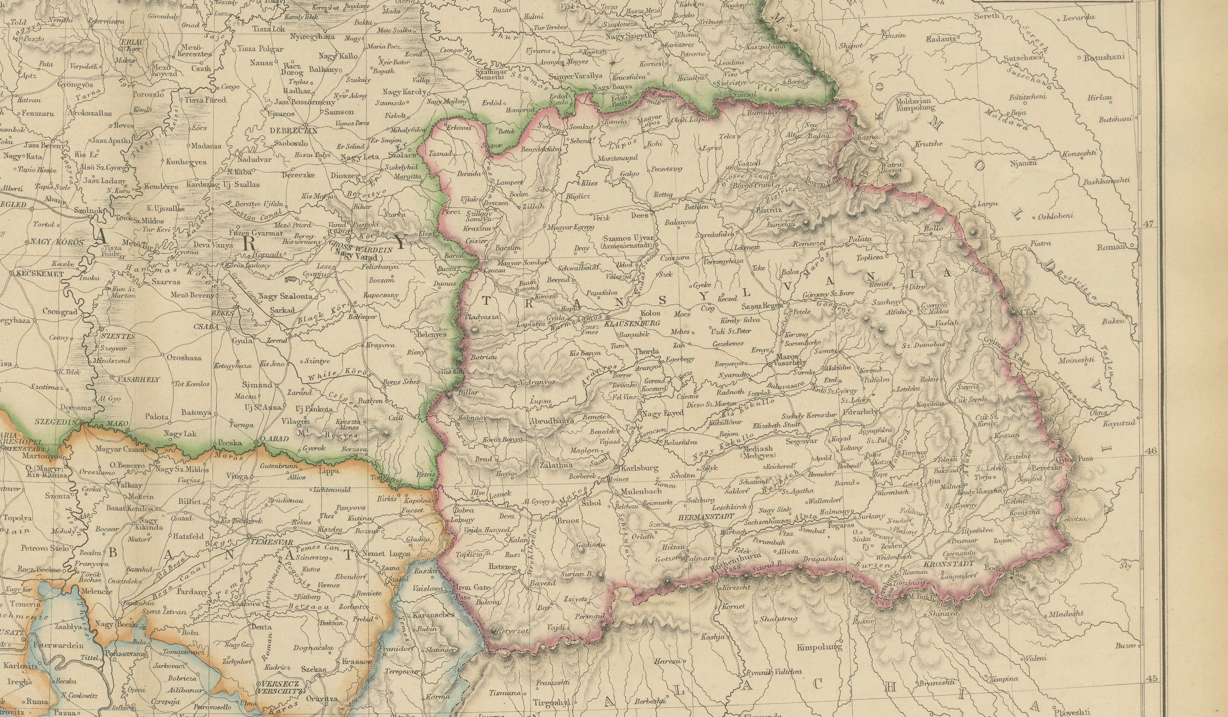
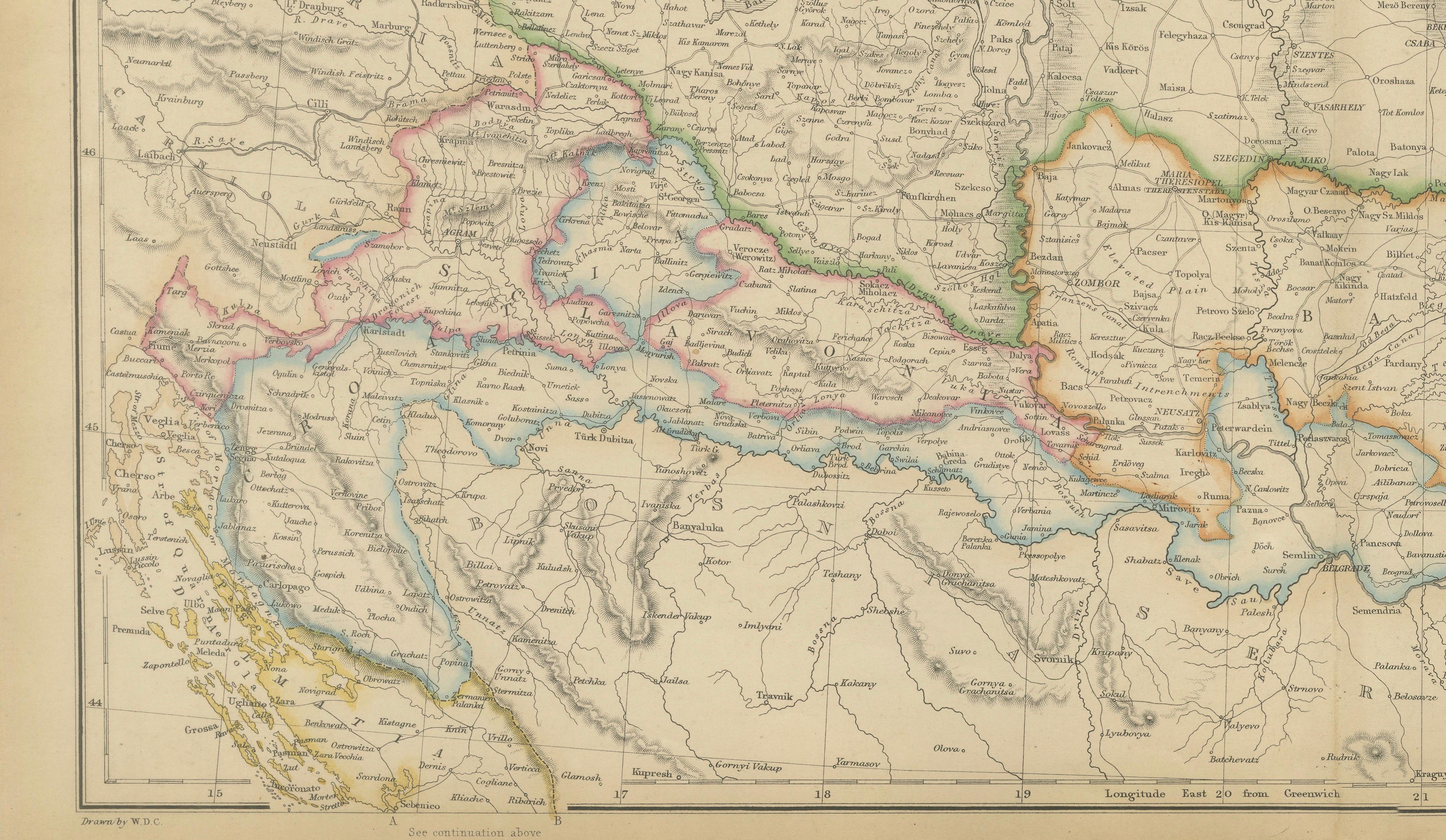
Beautifully engraved and enhanced with original outline hand color, the map clearly distinguishes the various provinces, administrative divisions, and frontier regions. Major cities including Budapest (Buda and Pest), Debrecen, Szeged, Cluj (Klausenburg), Timișoara, Zagreb, Osijek, and numerous other towns are carefully identified. Rivers, mountain ranges, roads, and political boundaries are rendered with remarkable precision, reflecting the growing sophistication of nineteenth-century cartography.
The map offers a fascinating view of the diverse territories that formed the eastern half of the Habsburg domains before the establishment of Austria-Hungary in 1867. Particularly noteworthy are the detailed depictions of Transylvania and Banat, regions rich in ethnic, cultural, and political history. The Military Frontier, established as a defensive buffer against the Ottoman Empire, is prominently shown, highlighting its strategic importance within the imperial system.
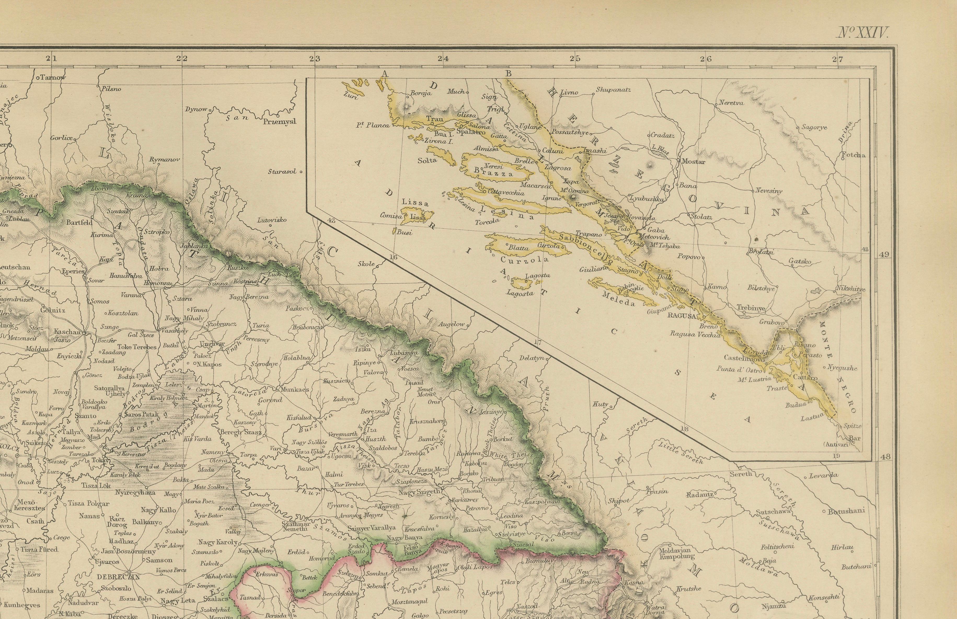
An attractive inset map illustrates the Dalmatian coast and islands along the Adriatic Sea. This region, with its historic ports and maritime connections, played a crucial role in the commercial and military activities of the empire. The inset adds considerable visual appeal and enhances the map's historical significance.
Published by Blackie & Son of Glasgow, Edinburgh, and London, this map originates from one of the leading Victorian atlas publishers. Their maps were celebrated for combining geographical accuracy, elegant engraving, and attractive coloring, making them highly sought after by collectors today.
This map will appeal to collectors of Hungarian history, Transylvanian heritage, Habsburg studies, genealogy, military history, Balkan history, and antique cartography. It is equally attractive as a decorative display piece due to its large format and intricate detail.
Keywords: Hungary, Transylvania, Dalmatia, Croatia, Slavonia, Banat, Military Frontier, Budapest, Buda, Pest, Zagreb, Cluj, Klausenburg, Habsburg Empire, Austria Hungary, Balkans, Adriatic Sea, Central Europe, antique map, Blackie & Son, nineteenth century cartography.
Condition: Good antique condition with age-related toning and light handling wear consistent with age. Minor imperfections and signs of use may be present. Please examine the photographs carefully as they form part of the description.
Framing Tips: This map displays beautifully in a walnut, dark mahogany, or black frame with an ivory museum-quality mat. The subtle original coloring and exceptional geographic detail make it particularly suitable for a study, library, office, or interior focused on European history and travel.
This offering is for an original nineteenth-century map, not a modern reproduction. Any framed room visualizations are intended solely to illustrate possible display options and may not accurately represent the map's exact scale. The map is sold unframed.
Technique: Steel engraving with original hand color
Maker: Blackie & Son, Glasgow, Edinburgh & London, circa 1860–1880