About this sheet
Antique Caribbean Maps of St. Kitts, Antigua, Virgin Islands & Tobago, 1818
Set of Four Antique Caribbean Maps by Bryan Edwards.
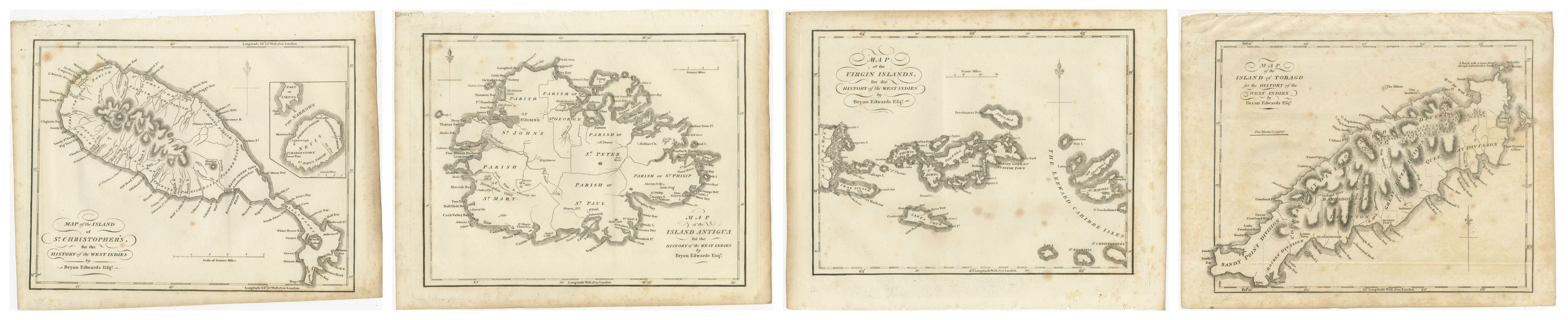
Fine matching set of four original antique engraved maps of Caribbean islands, depicting St. Christopher's (St. Kitts) with Nevis, Antigua, the Virgin Islands and Tobago.
The maps were published for Bryan Edwards' important "History of the British West Indies," London, 1818. Together they form an attractive group documenting several of the principal islands of the British and wider Caribbean during the early 19th century.
The set comprises:
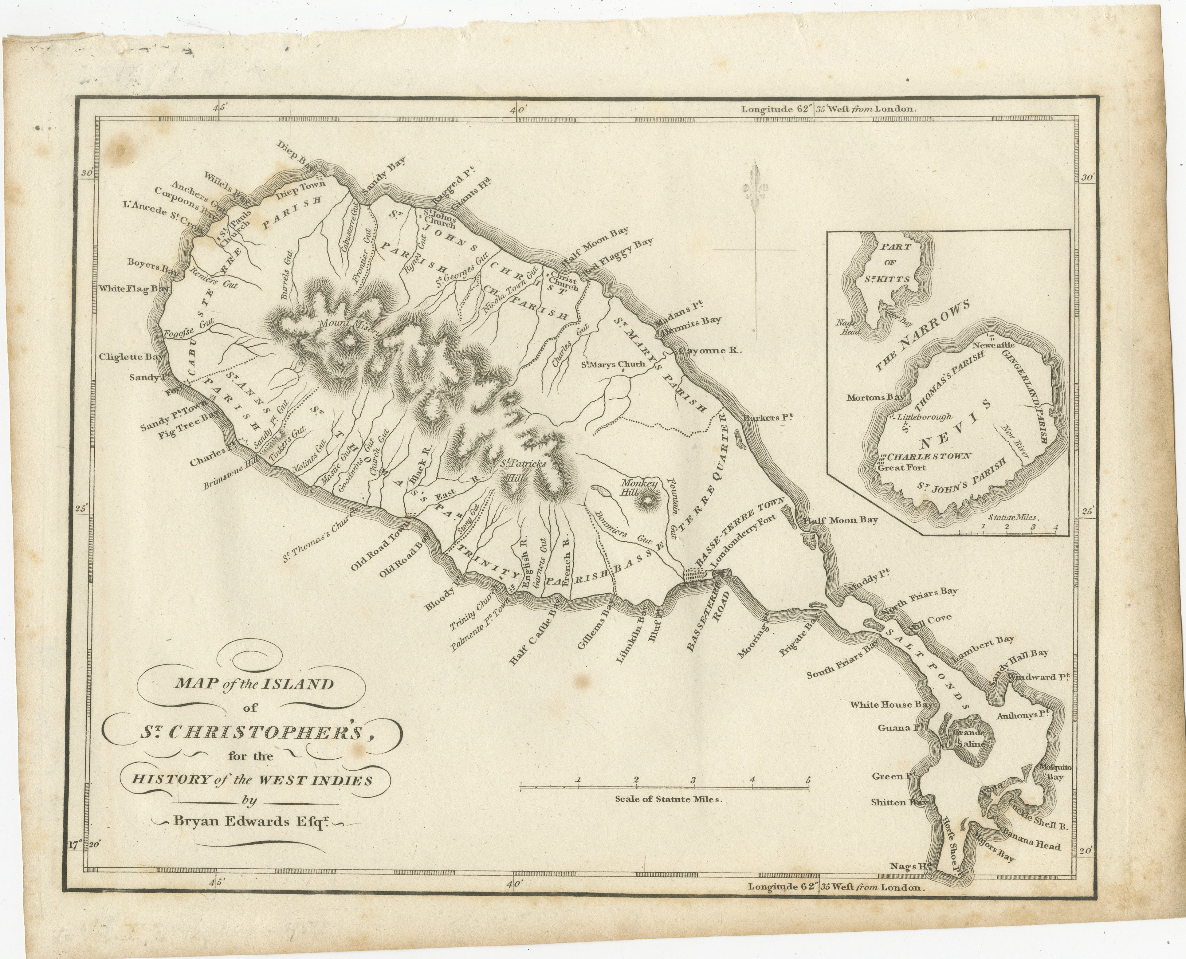
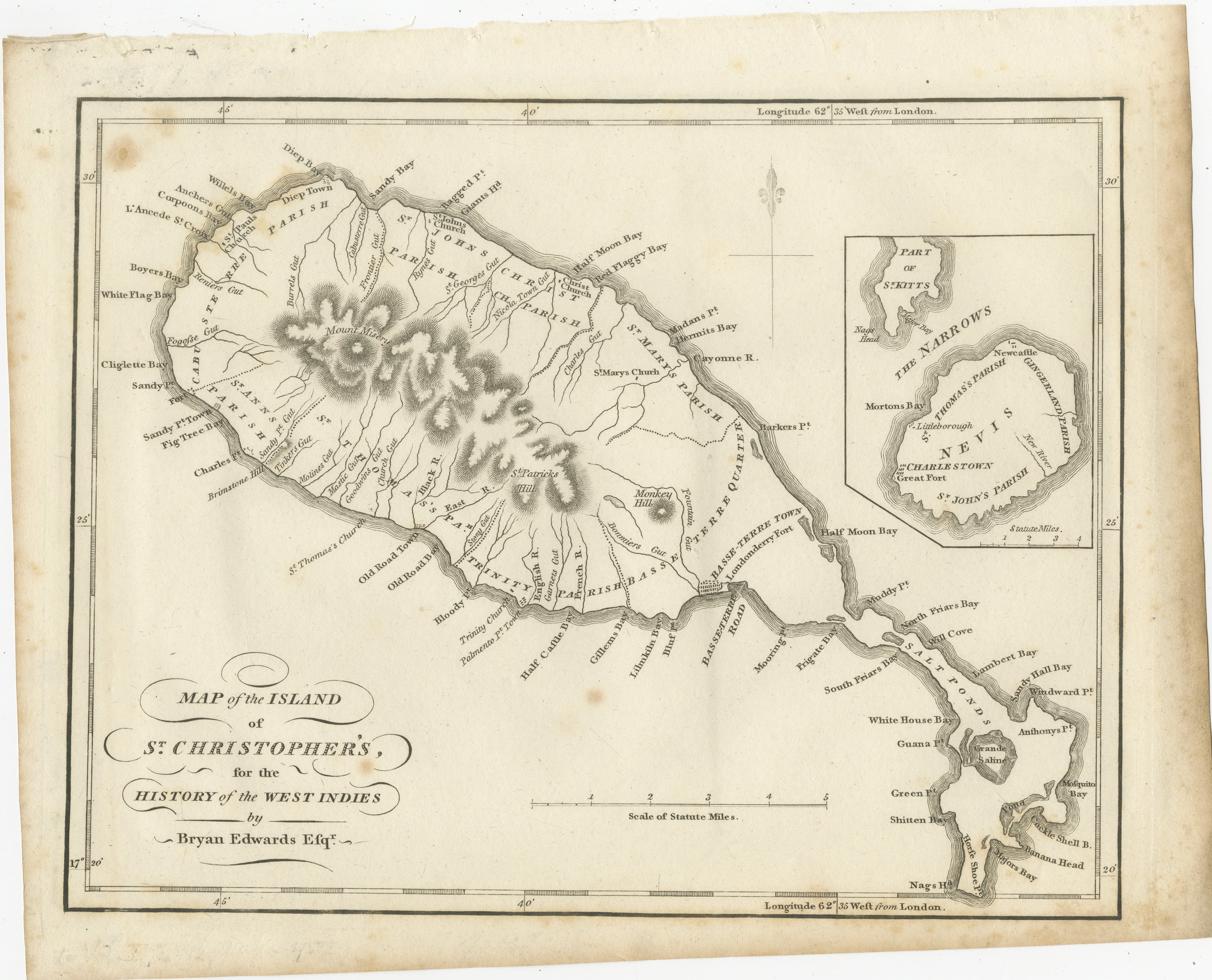
1. Map of the Island of St. Christopher's
Detailed engraved map of present-day St. Kitts, divided into its historic parishes and showing settlements, churches, forts, roads, bays, rivers and mountainous terrain. An inset at upper right depicts the neighbouring island of Nevis, including Charlestown and its parish divisions.
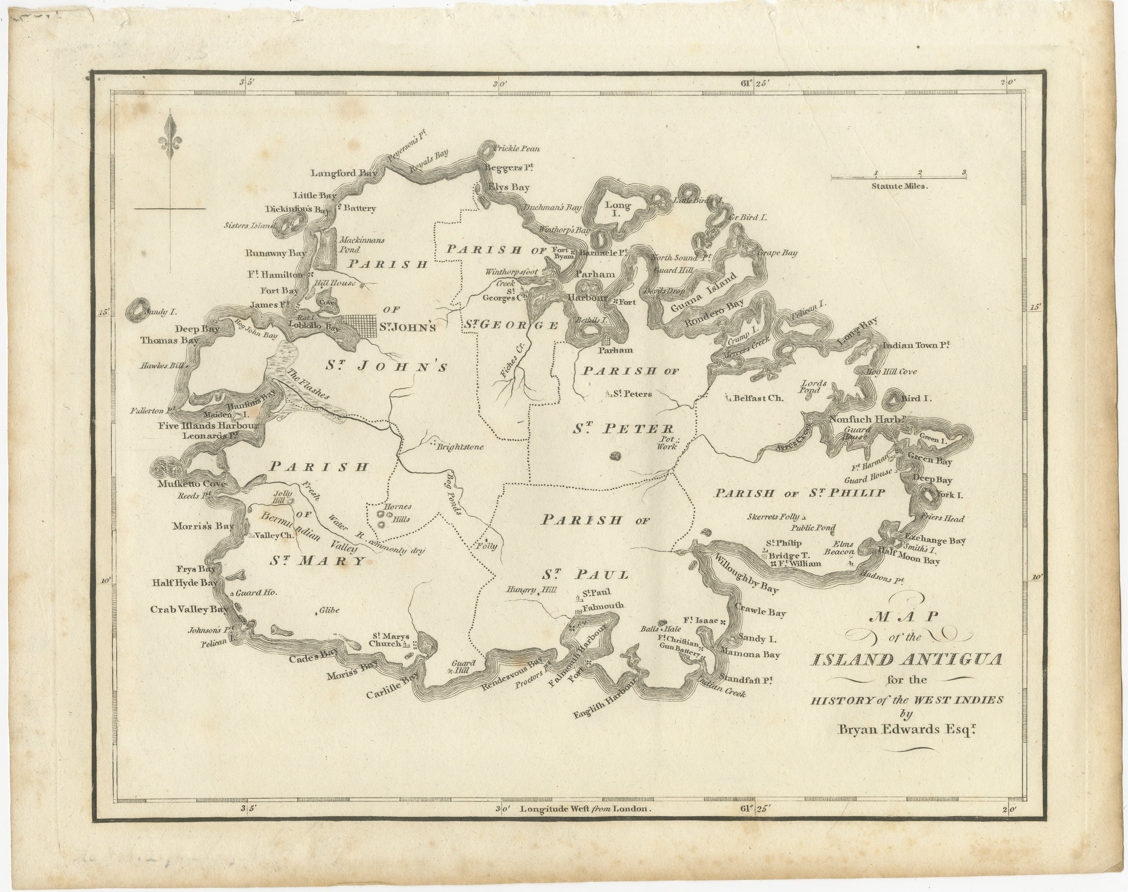
2. Map of the Island Antigua
Detailed map of Antigua showing its historic parishes, settlements, forts, churches, harbours, bays and coastal features. St. John's, English Harbour, Falmouth, Parham and numerous smaller locations are identified.
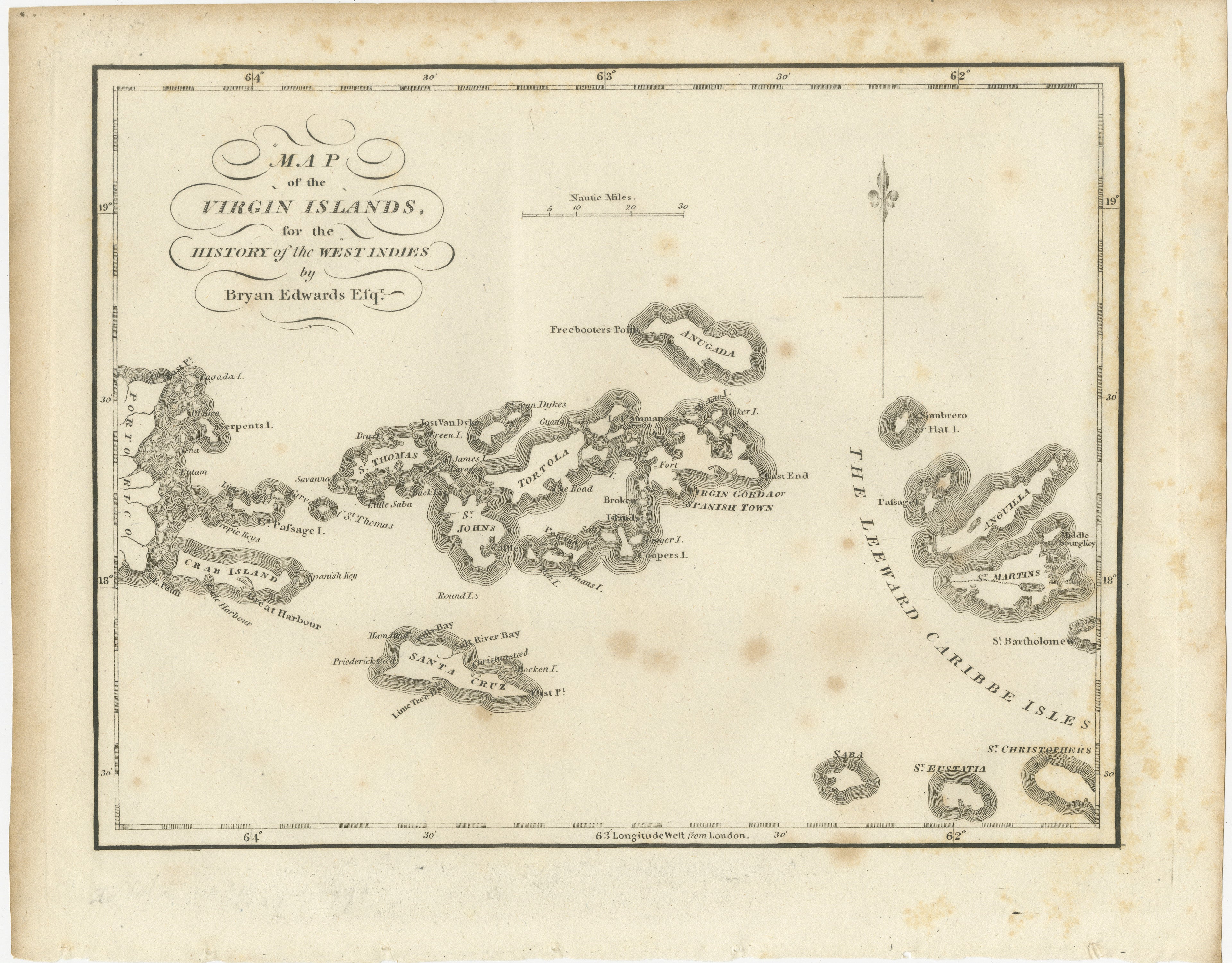
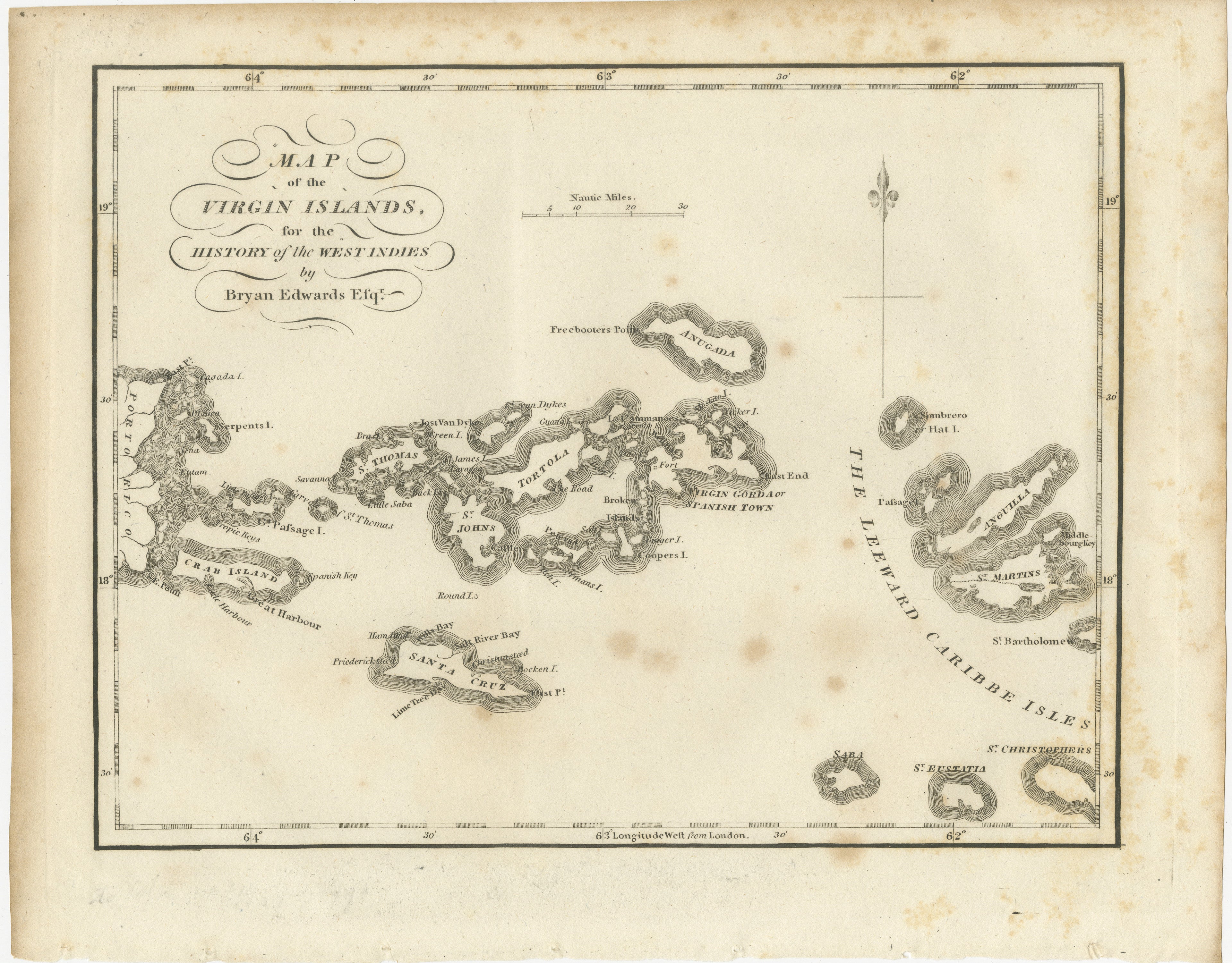
3. Map of the Virgin Islands
An interesting regional map showing the Virgin Islands and surrounding Caribbean islands. Among those depicted are St. Thomas, St. John, Tortola, Virgin Gorda, St. Croix, Anegada and neighbouring islands. The map also extends toward St. Martin, Anguilla, St. Barthélemy, Saba, St. Eustatius and St. Christopher's.
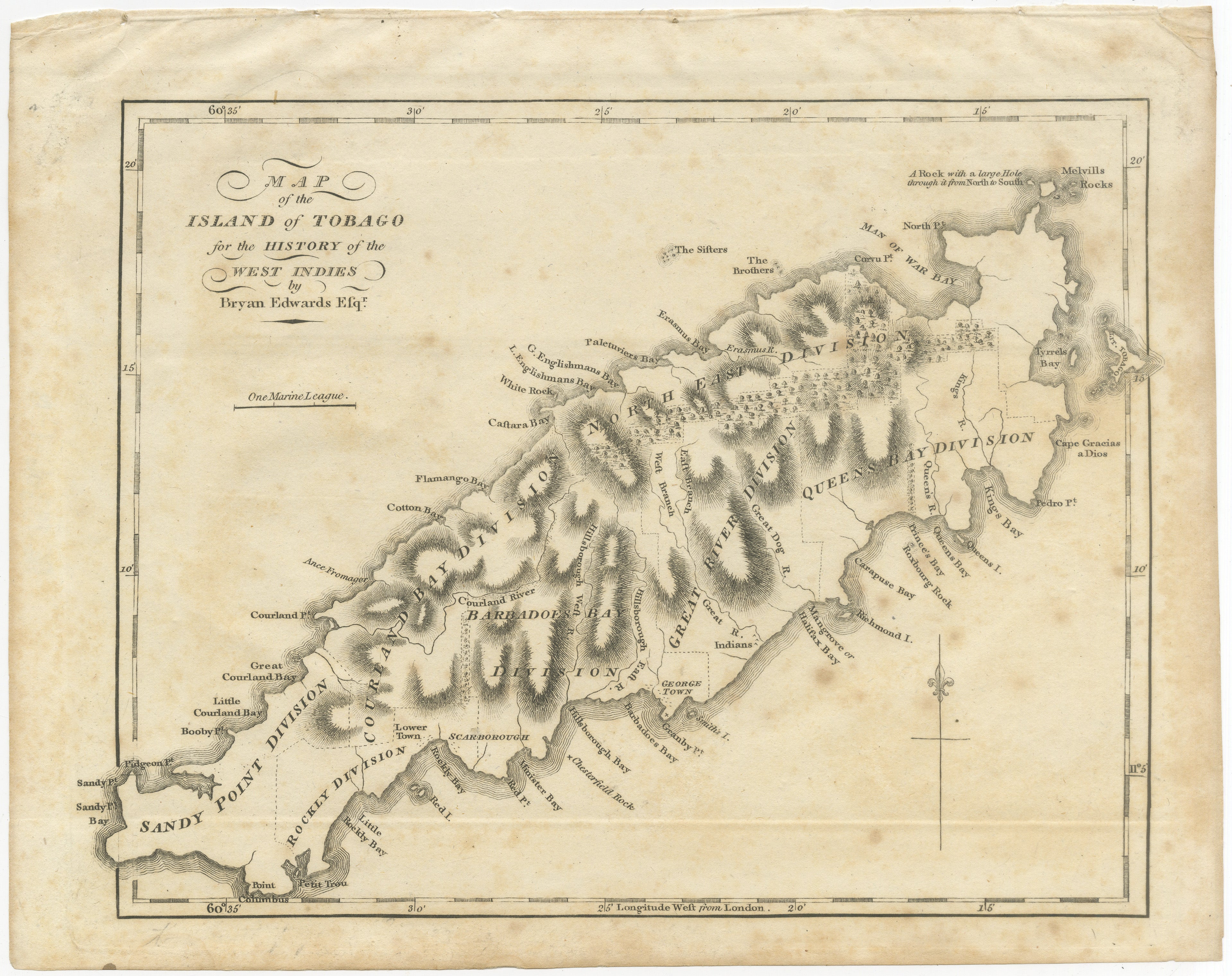
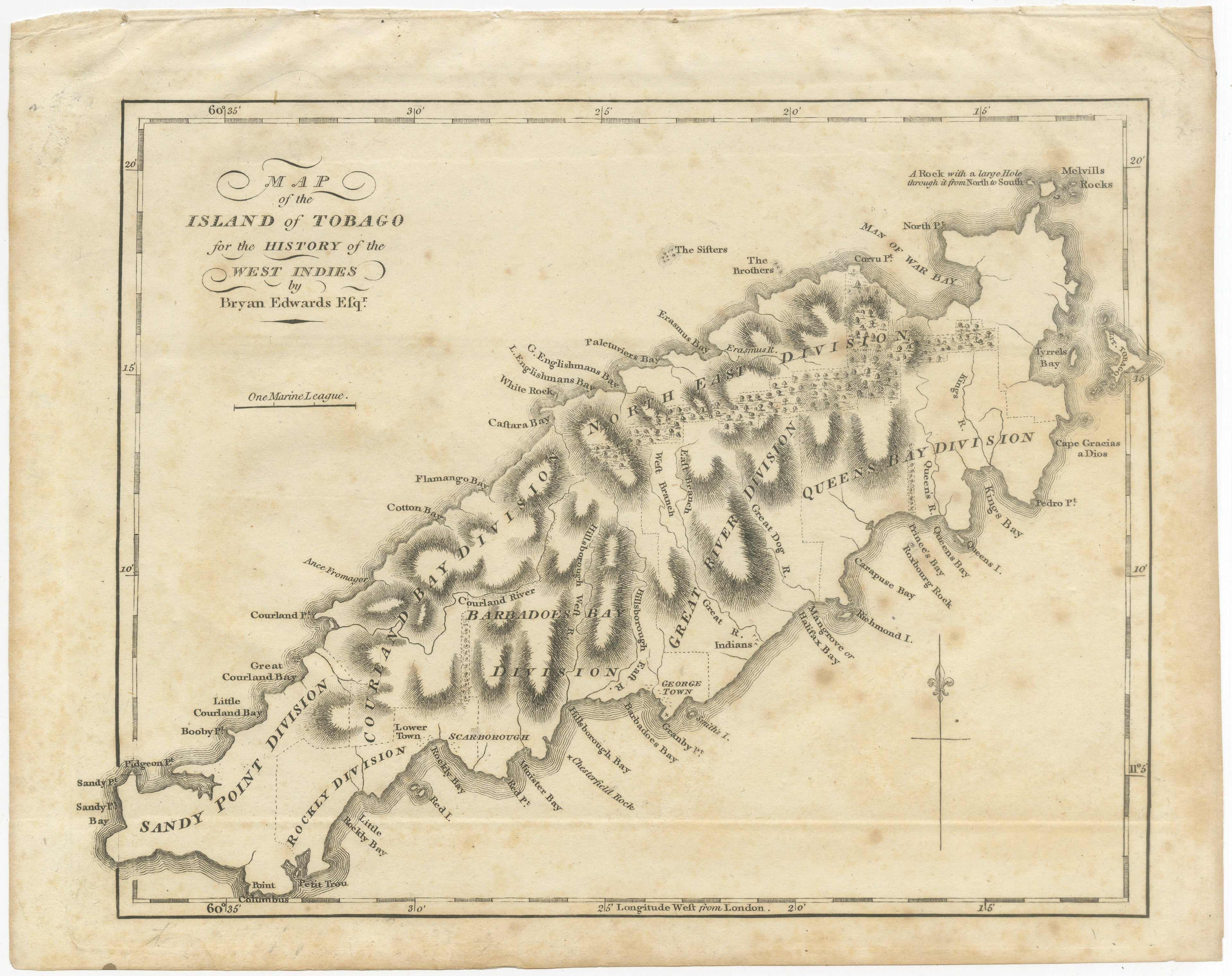
4. Map of the Island of Tobago
Detailed engraved map of Tobago showing the island's mountainous interior, rivers, bays, settlements and historical administrative divisions. Scarborough, Great Courland Bay, Man of War Bay and numerous other coastal locations are marked.
Bryan Edwards (1743–1800) was a British politician, merchant, plantation owner and historian who spent considerable time in Jamaica. His writings became an important contemporary source for the geography, economy and colonial history of the British West Indies. Edwards was elected a Fellow of the Royal Society in 1794 and later served as a Member of Parliament.
Edwards was also a prominent defender of the West Indian plantation system and opponent of the abolitionist campaign against the transatlantic slave trade. The maps consequently provide important historical documentation of Caribbean islands during the colonial and plantation era.
Author: Bryan Edwards (1743–1800)
Subject: St. Kitts and Nevis, Antigua, Virgin Islands and Tobago
Technique: Engraving on paper
Origin: London, England
Publication: History of the British West Indies
Date: 1818
Number of maps: 4
Condition:
Good antique condition with visible age-related toning, foxing, staining and spotting. Some sheets show creasing, edge wear, small tears and irregularities to the margins consistent with age and removal from the original volumes. The Tobago map has particularly noticeable creasing and toning. The engraved areas remain clear and attractive. Please study the photographs carefully as they form part of the condition description.
Other maps and plates from the same 1818 edition of Bryan Edwards' History of the British West Indies are also available.
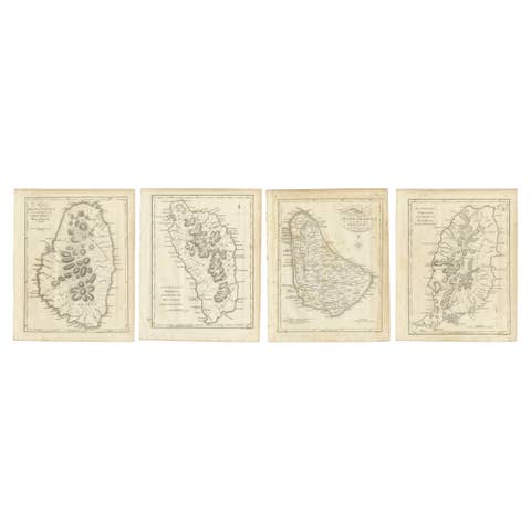
A matching set of four maps depicting St. Vincent, Dominica, Barbados and Grenada is available separately.
Four original antique engravings, more than 200 years old. Not modern reproductions.
Sold unframed. Any framed images, compilations or interior views shown are for presentation and inspiration only.