About this sheet
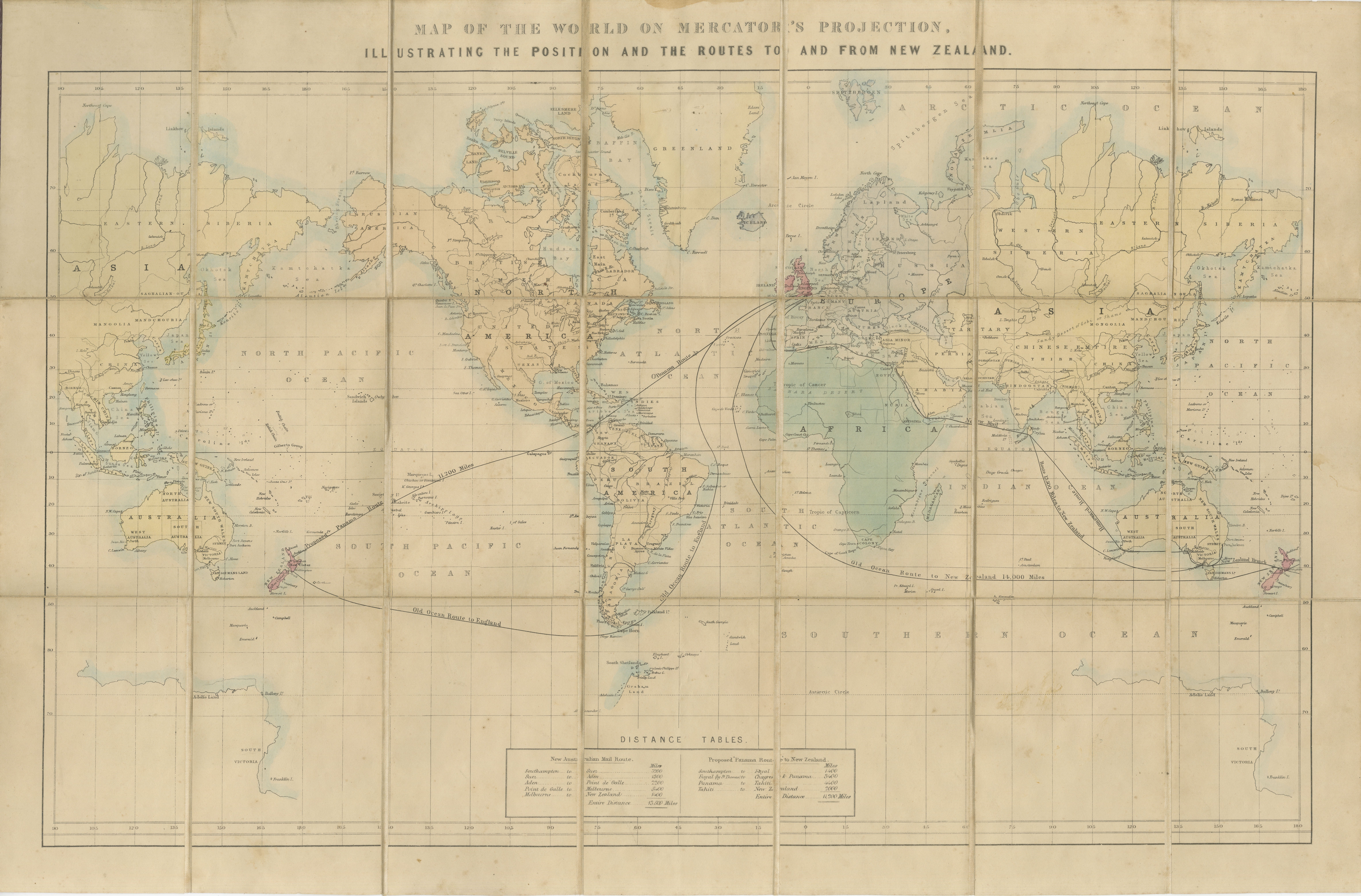
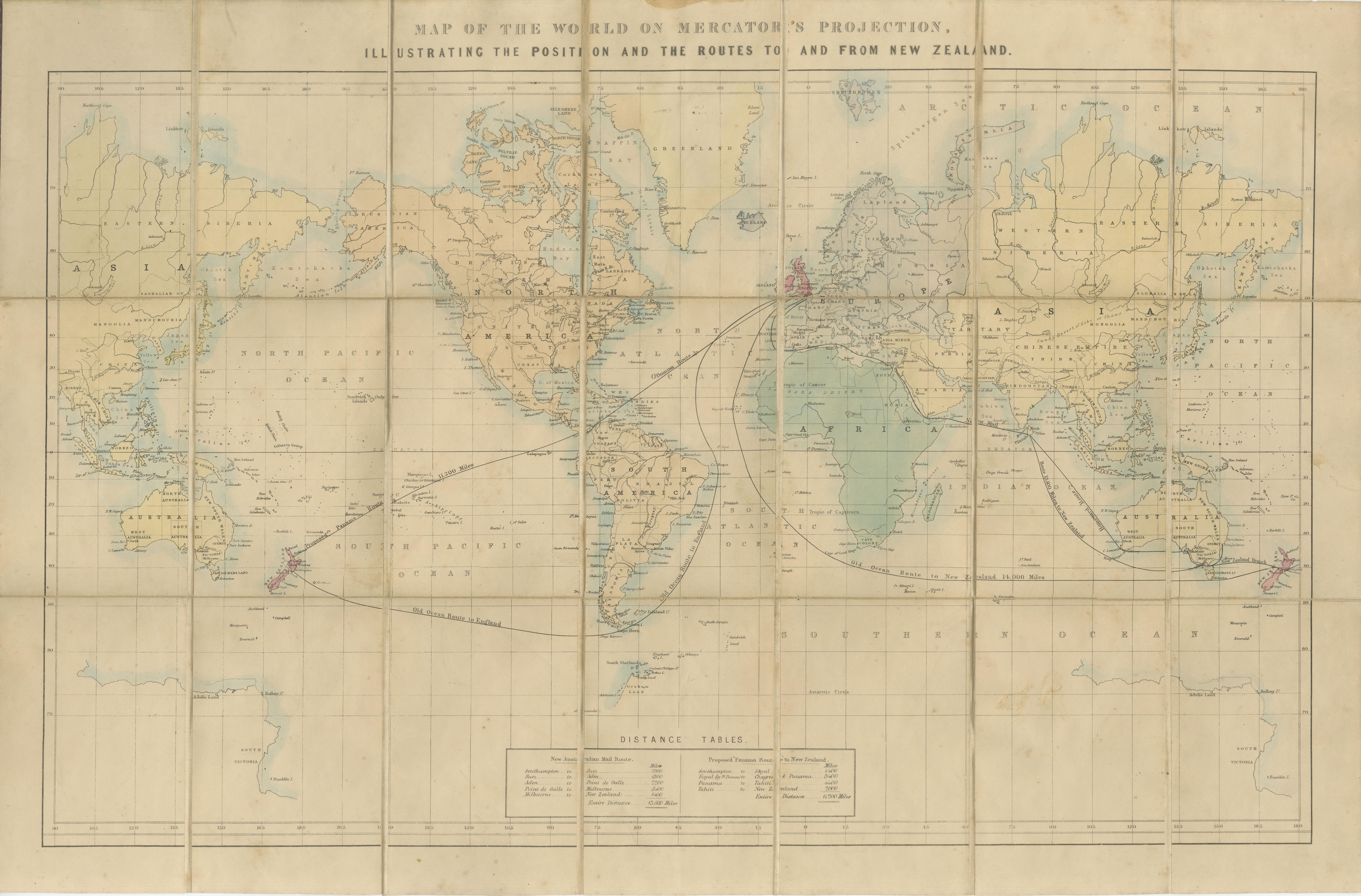
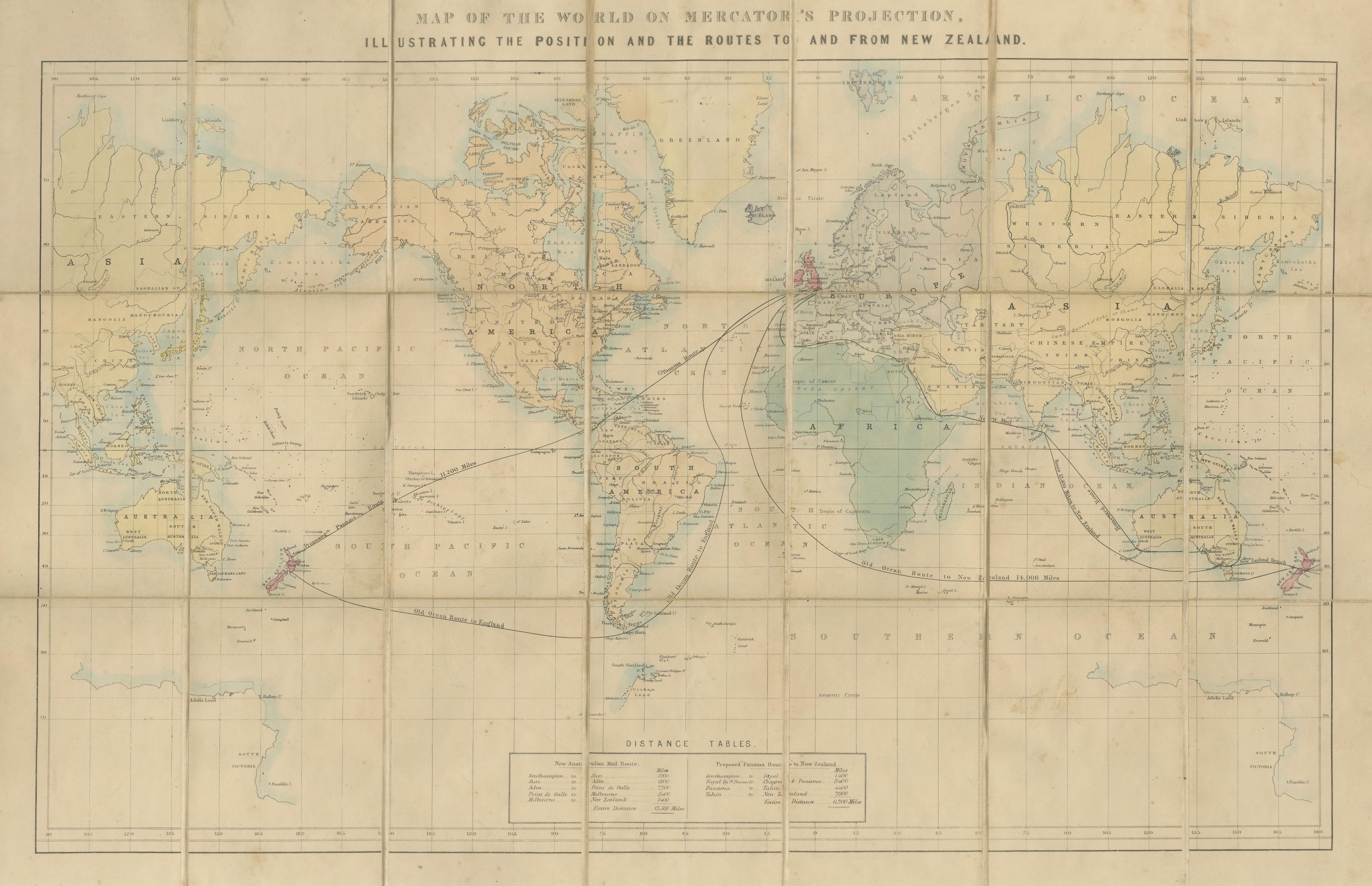
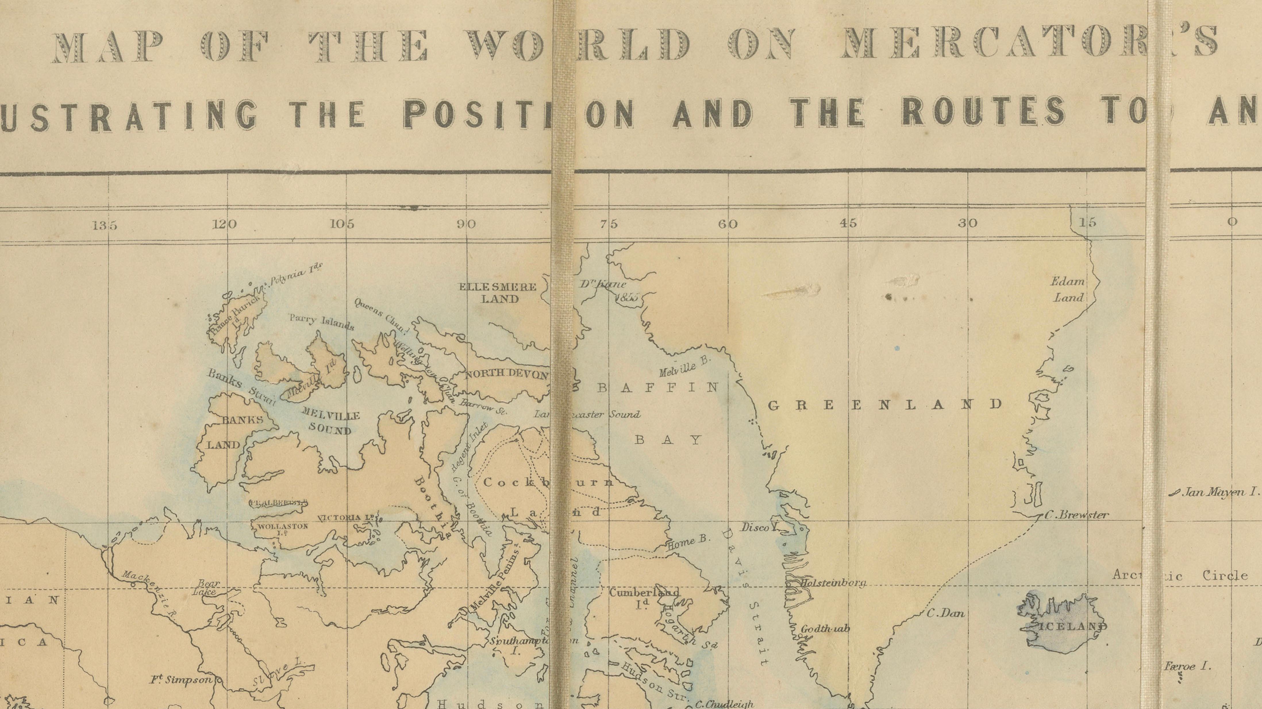
Edward Stanford, Map of the World on Mercator's Projection Illustrating the Routes to and from New Zealand, Folding Map, c.1880
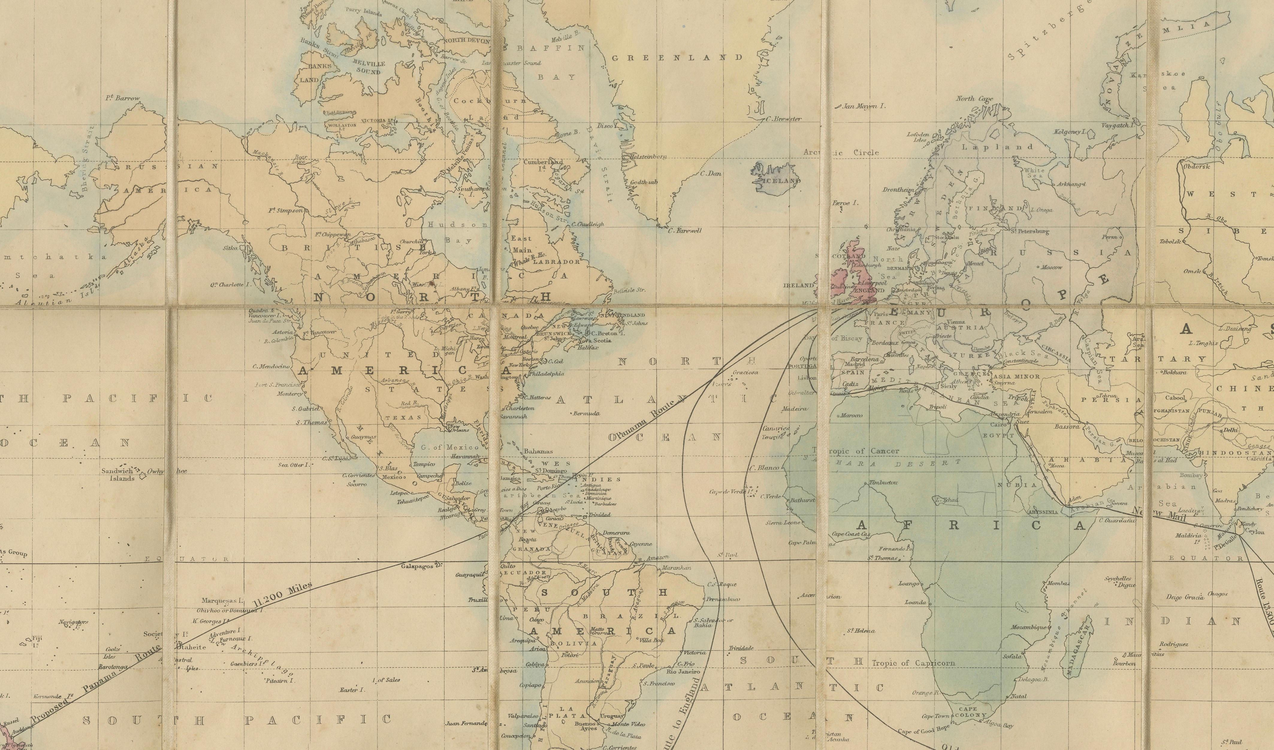
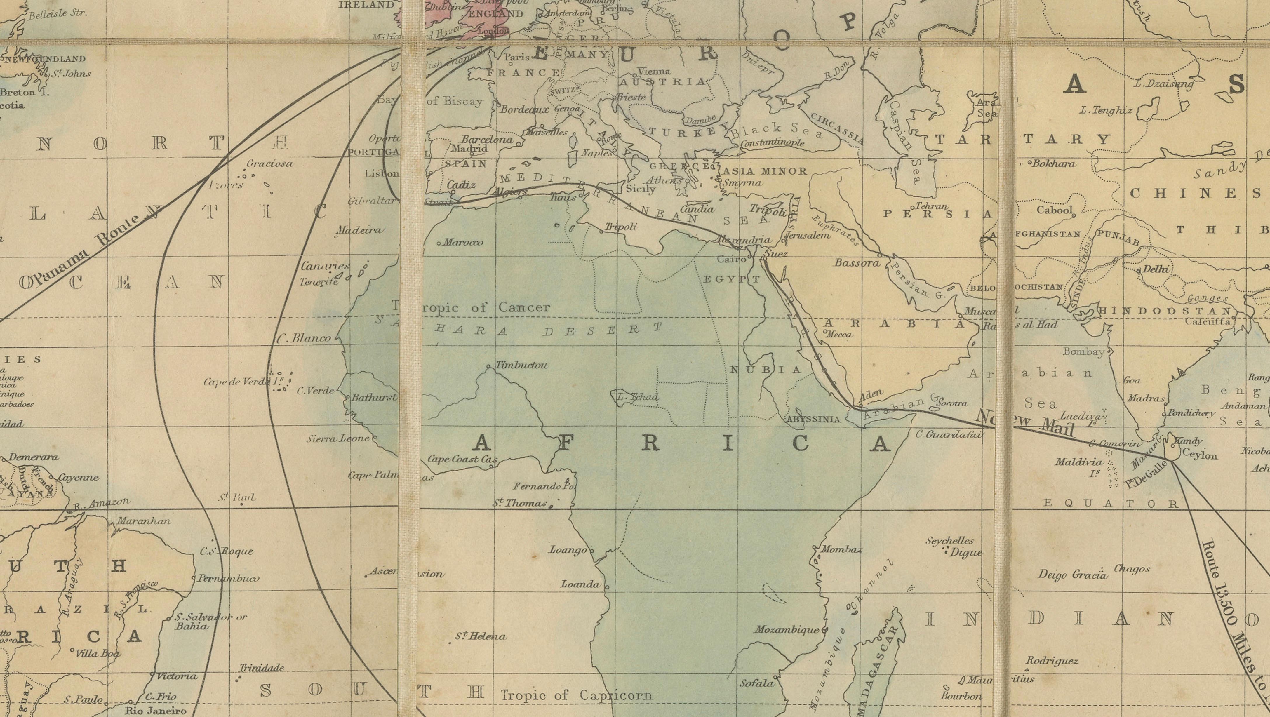
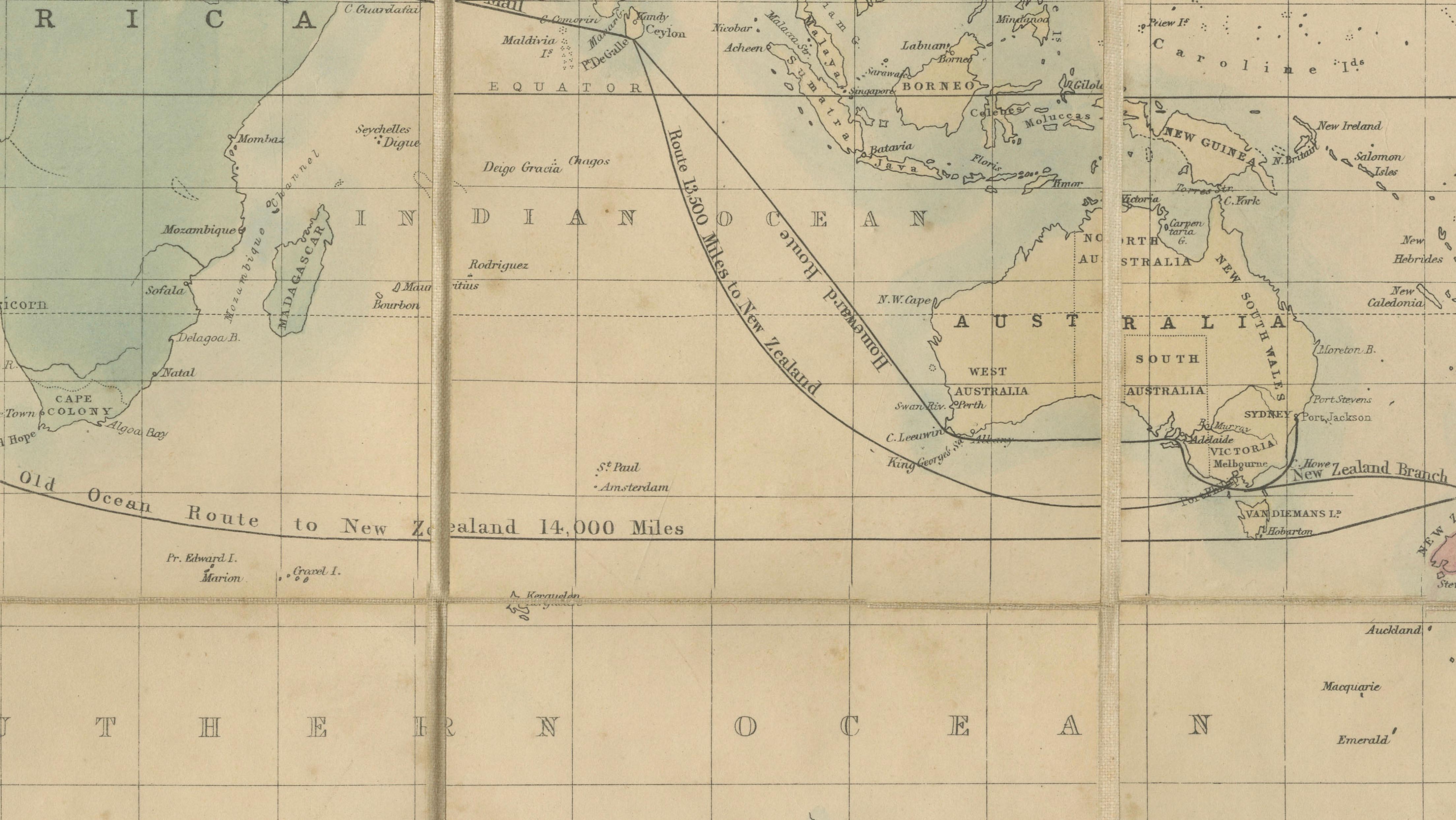
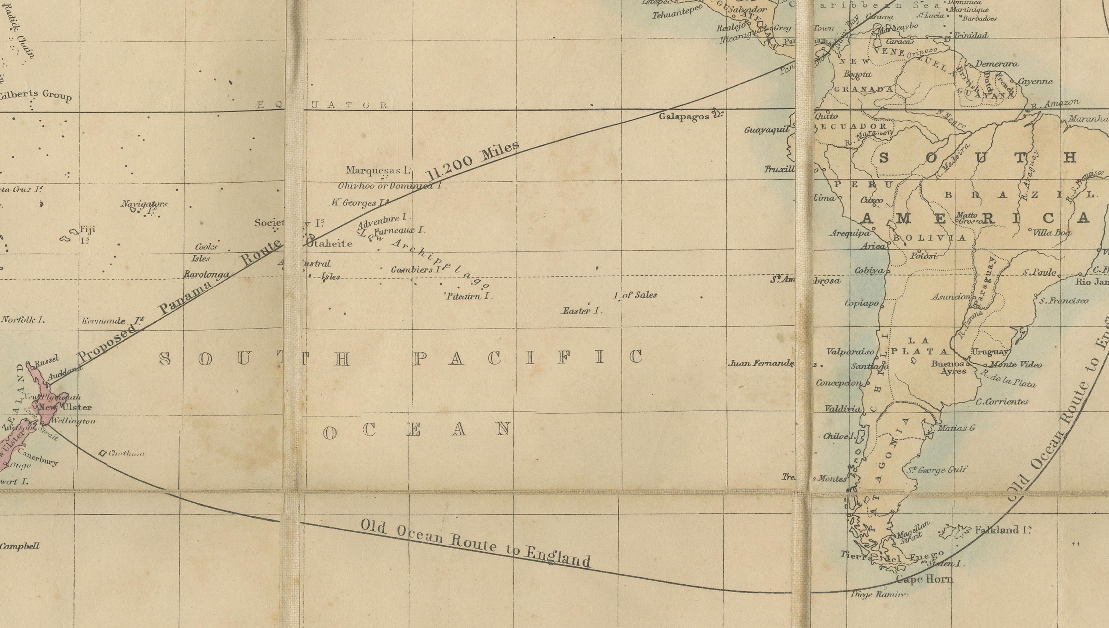
A rare and highly evocative Victorian emigrant and travel map issued by the celebrated London cartographer Edward Stanford, depicting the world on Mercator's projection with a particular emphasis on maritime connections to New Zealand. The map traces the principal mail and passenger routes linking Britain with the colonies, illustrating the expanding global network of steamship travel during the height of the British Empire.
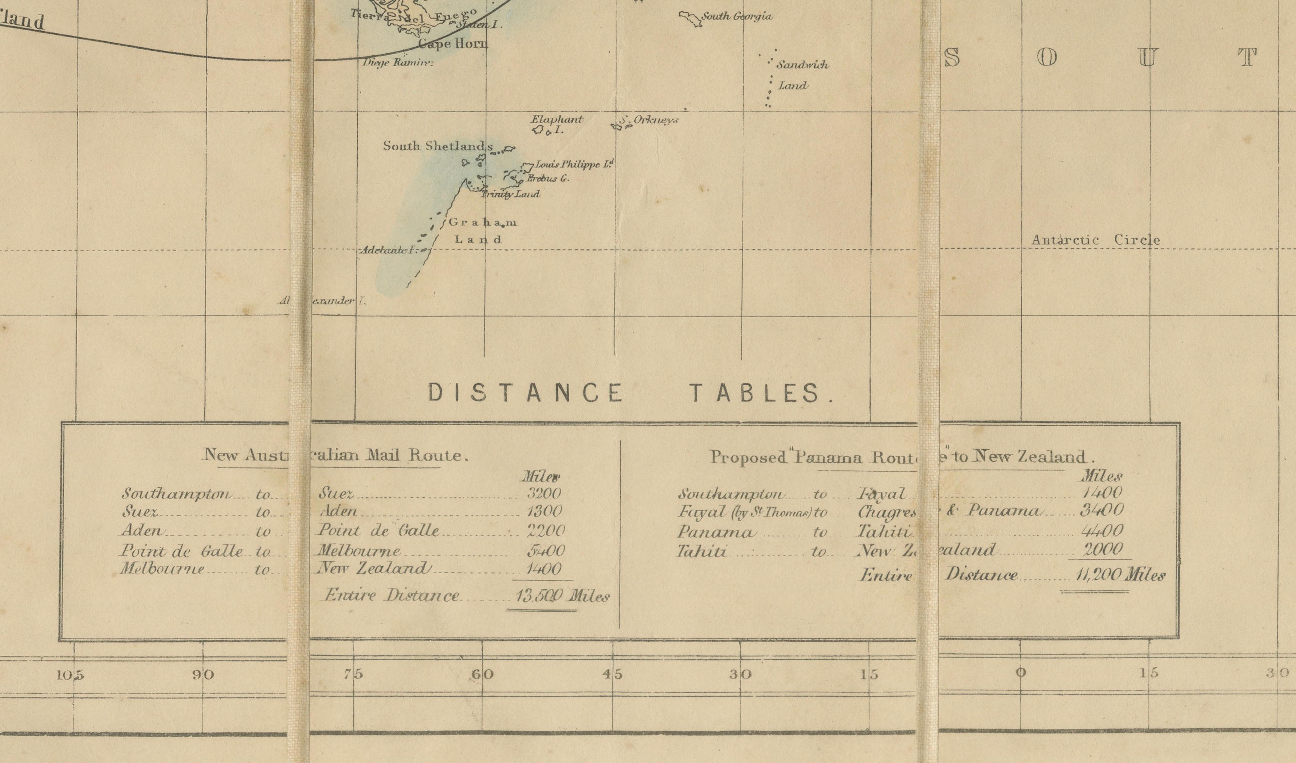
The routes radiate from the British Isles across the Atlantic, through the Suez Canal, around the Cape of Good Hope, and across the Pacific, converging on New Zealand, which is highlighted in contemporary hand-colour. Distance tables at the lower centre provide practical information for emigrants, merchants, and travellers undertaking the long voyage to the Antipodes.
Issued as a portable folding map in its original publisher's cloth covers in 12mo format, this work reflects the enormous growth of migration and communication between Britain and New Zealand during the late nineteenth century. Edward Stanford, one of London's most influential map publishers, supplied maps to explorers, government departments, and travellers throughout the Victorian era.
The delicate original colouring, combined with the intricate network of global sea routes, gives the piece both historical importance and strong decorative appeal. It serves as an exceptional document of imperial mobility, colonial expansion, and the technological transformation of long-distance travel.
Maker: Edward Stanford (1827–1904)
Date: Circa 1880
Medium: Engraving with original hand-colouring on paper
Format: Folding map, originally issued in publisher's cloth covers, 12mo
Condition: Good antique condition overall. Original fold lines as issued. Minor toning, scattered foxing, and light age-related wear consistent with use. Hand-colouring remains attractive and fresh. Original cloth covers preserved.
Dimensions:
Open: approximately 53 x 74 cm (20.9 x 29.1 in.)
Format: 12mo folding issue.
Presented unframed. Framed images are for inspiration only.