About this sheet
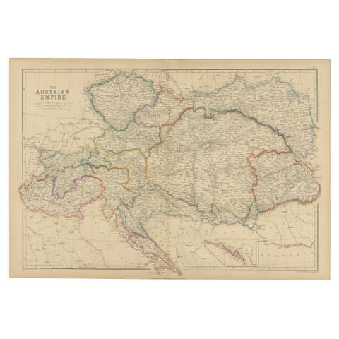
Original Antique Map of the Austrian Empire, Austria-Hungary c.1860
This large and highly detailed original antique map depicts the Austrian Empire during the mid-nineteenth century, published by the respected Scottish cartographic firm Blackie & Son around 1860. The map presents one of Europe's most important multinational empires at the height of its territorial extent, covering present-day Austria, Hungary, the Czech Republic, Slovakia, Slovenia, Croatia, Bosnia and Herzegovina, parts of Italy, Romania, Poland, Ukraine, and neighboring regions.
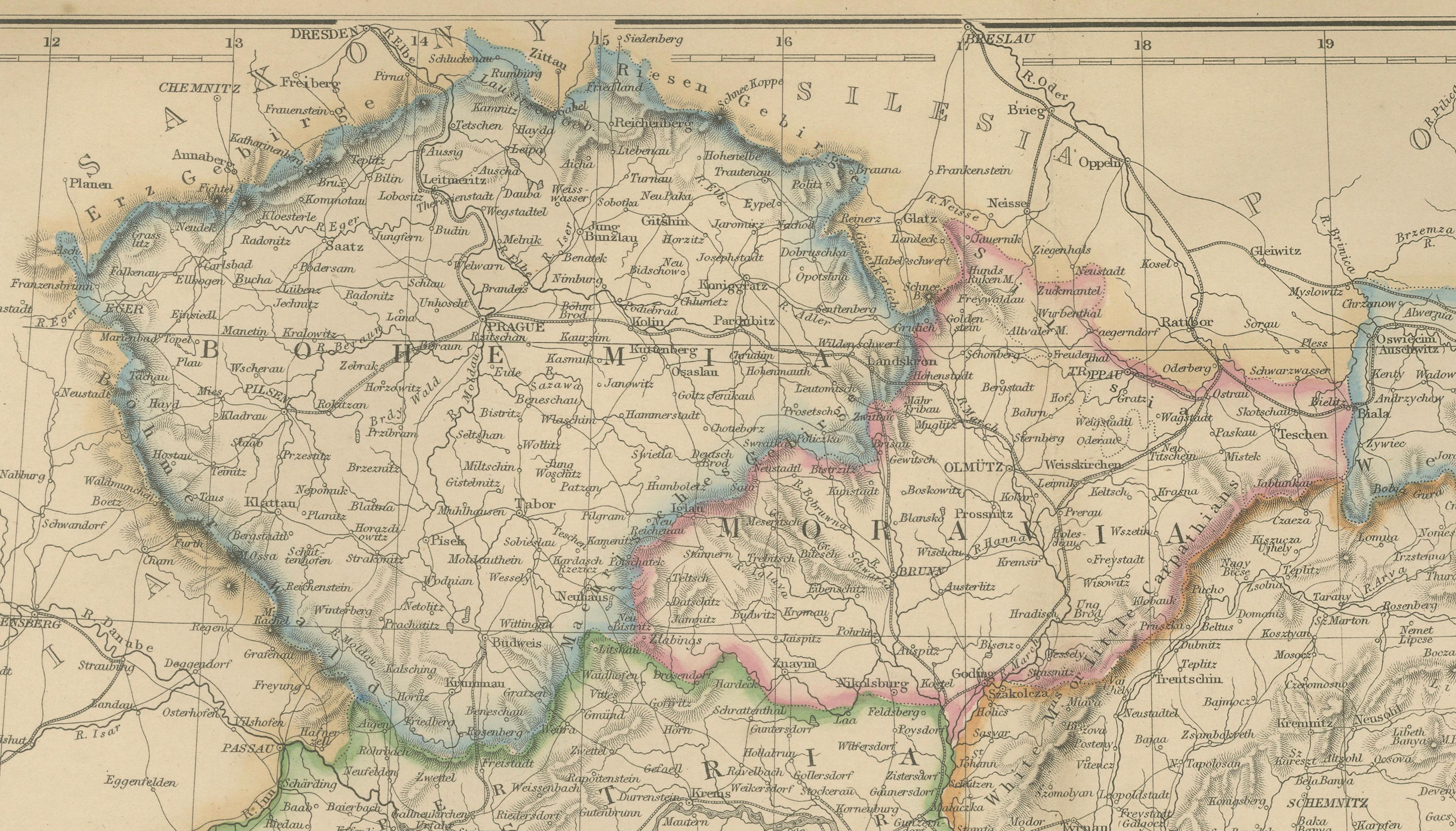
Finely engraved and enhanced with original outline hand color, the map clearly distinguishes the various crown lands, provinces, and administrative divisions of the Habsburg Empire. Major regions including Austria Proper, Bohemia, Moravia, Galicia, Hungary, Transylvania, Croatia, Slavonia, Dalmatia, Tyrol, Lombardy-Venetia, and the Military Frontier are carefully delineated. The map is filled with thousands of towns, cities, rivers, mountain ranges, roads, and political boundaries, reflecting the remarkable complexity of one of Europe's most diverse empires.
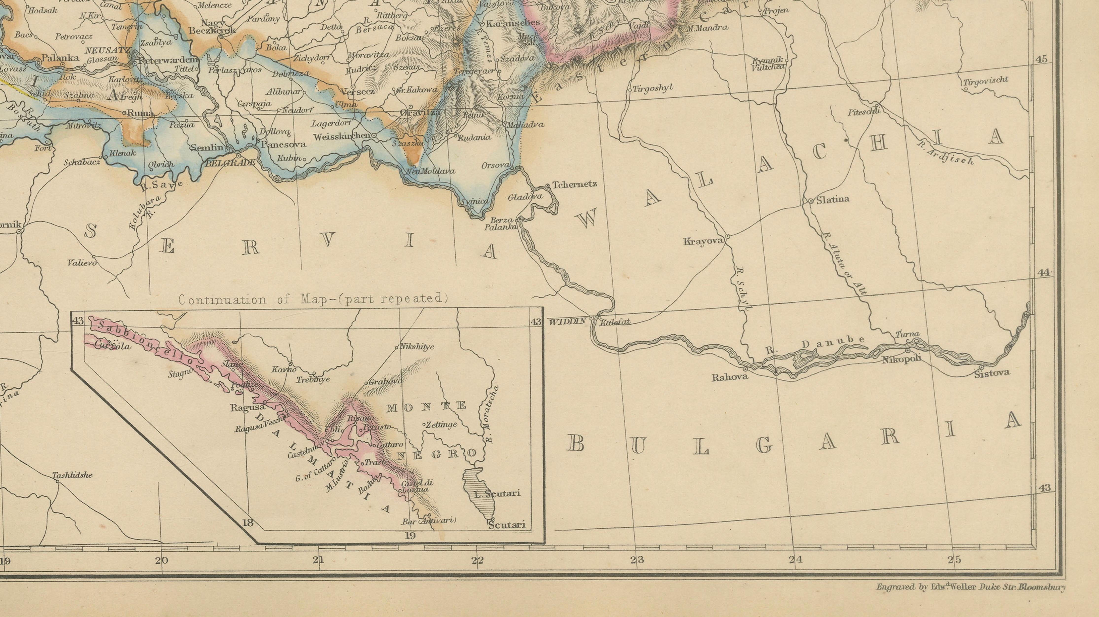
Prominent cities such as Vienna, Prague, Budapest, Trieste, Venice, Zagreb, Lviv, Krakow, Innsbruck, and Salzburg are identified, while the intricate geography of the Alps, Carpathians, and Balkans is rendered with exceptional clarity. An inset map illustrates the strategic Adriatic coastline and island regions, emphasizing the empire's maritime connections and commercial importance.
Published during a period of significant political transformation, the map captures the Austrian Empire shortly before the Austro-Hungarian Compromise of 1867, which reshaped the empire into the Dual Monarchy of Austria-Hungary. As such, it represents an important historical record of Central Europe before the major national and political changes that would redefine the region during the late nineteenth and twentieth centuries.
Blackie & Son of Glasgow, Edinburgh, and London were among the leading atlas publishers of the Victorian era. Their maps combined precise geographic information with elegant engraving and attractive original color, making them highly desirable to collectors today.
This map offers strong appeal for collectors of European history, Habsburg studies, military history, genealogy, and antique cartography. It is equally attractive as a decorative display piece due to its large format and beautifully colored provincial boundaries.
Condition: Good antique condition with age-related toning, light handling wear, and minor imperfections consistent with age. Please examine the photographs carefully as they form part of the description.
Framing Tips: This impressive map displays beautifully in a walnut, dark mahogany, or black frame with an ivory museum-quality mat. Its large format and intricate detail make it especially suitable for a study, library, office, or interior focused on European history and travel.
This offering is for an original nineteenth-century map, not a modern reproduction. Any framed room visualizations are intended solely to illustrate possible display options and may not accurately represent the map's exact scale. The map is sold unframed.