About this sheet
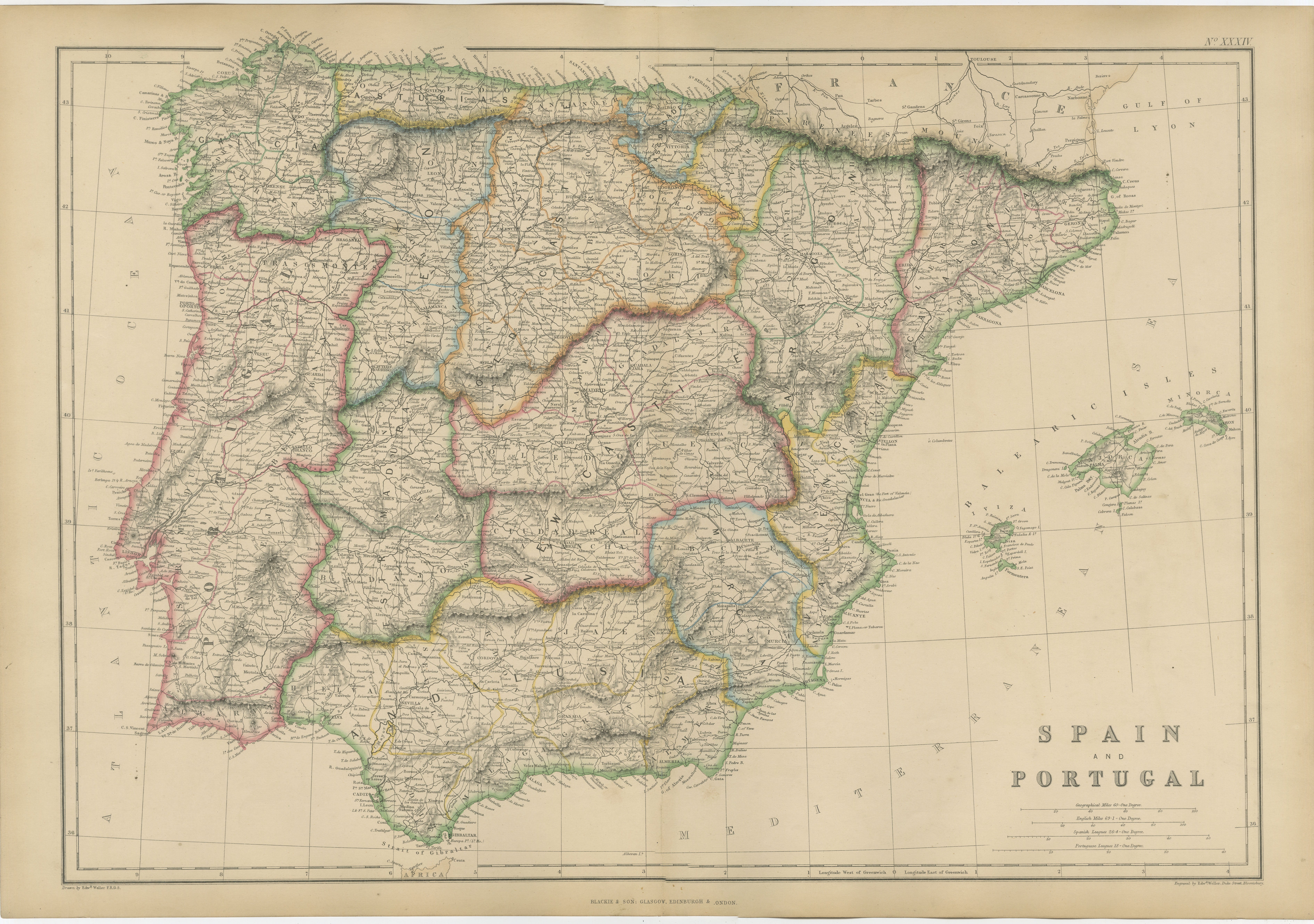
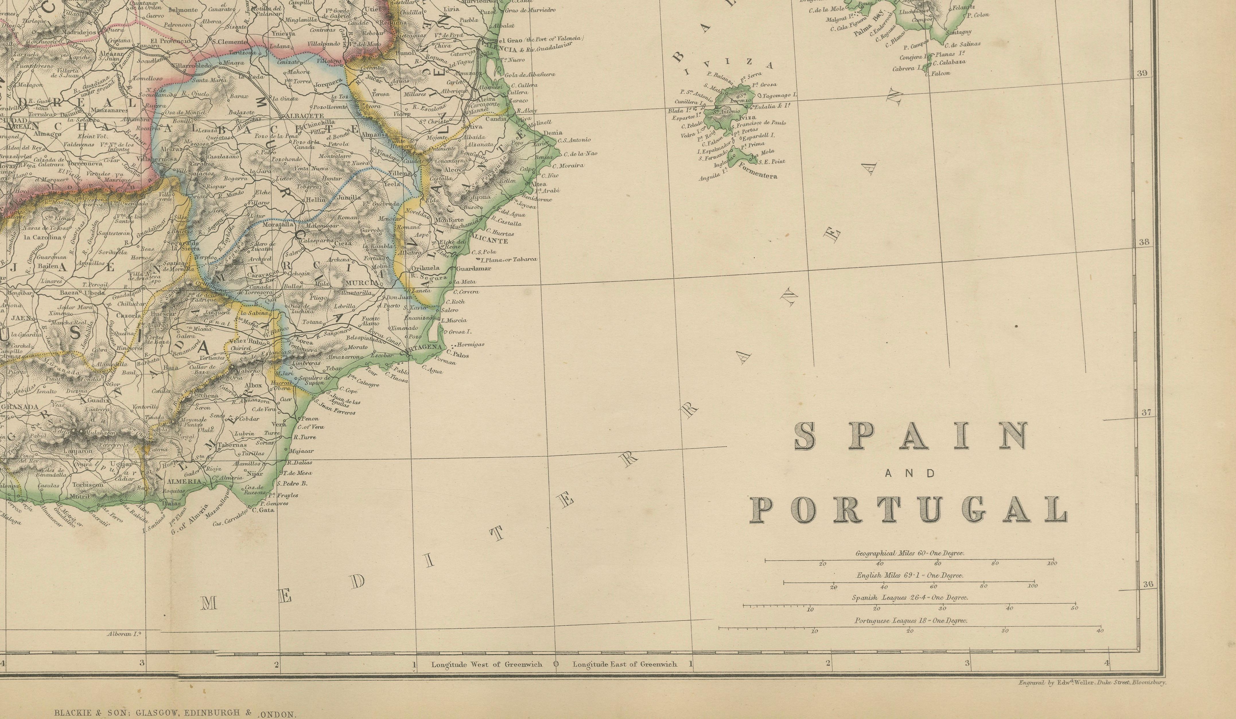
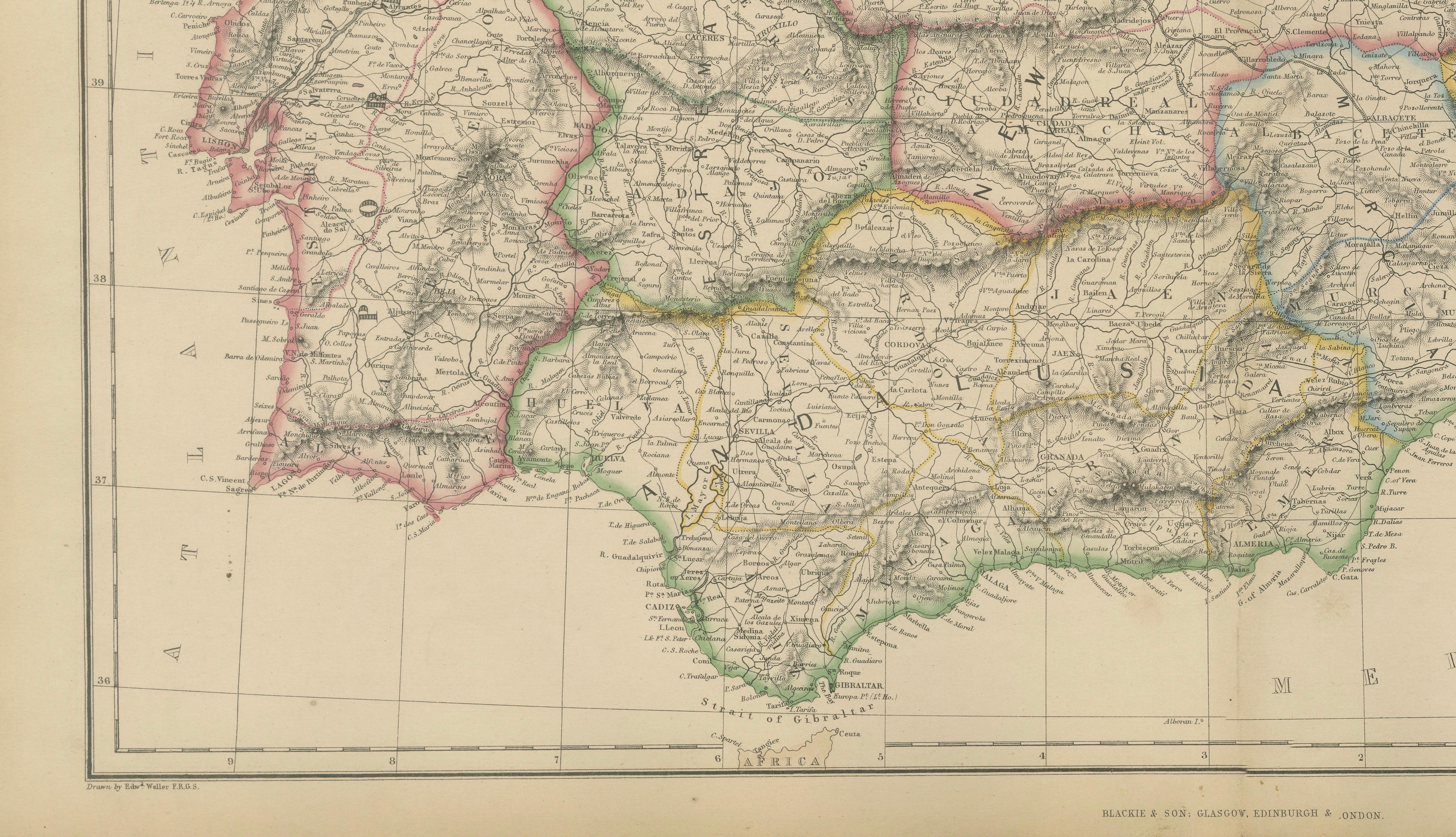
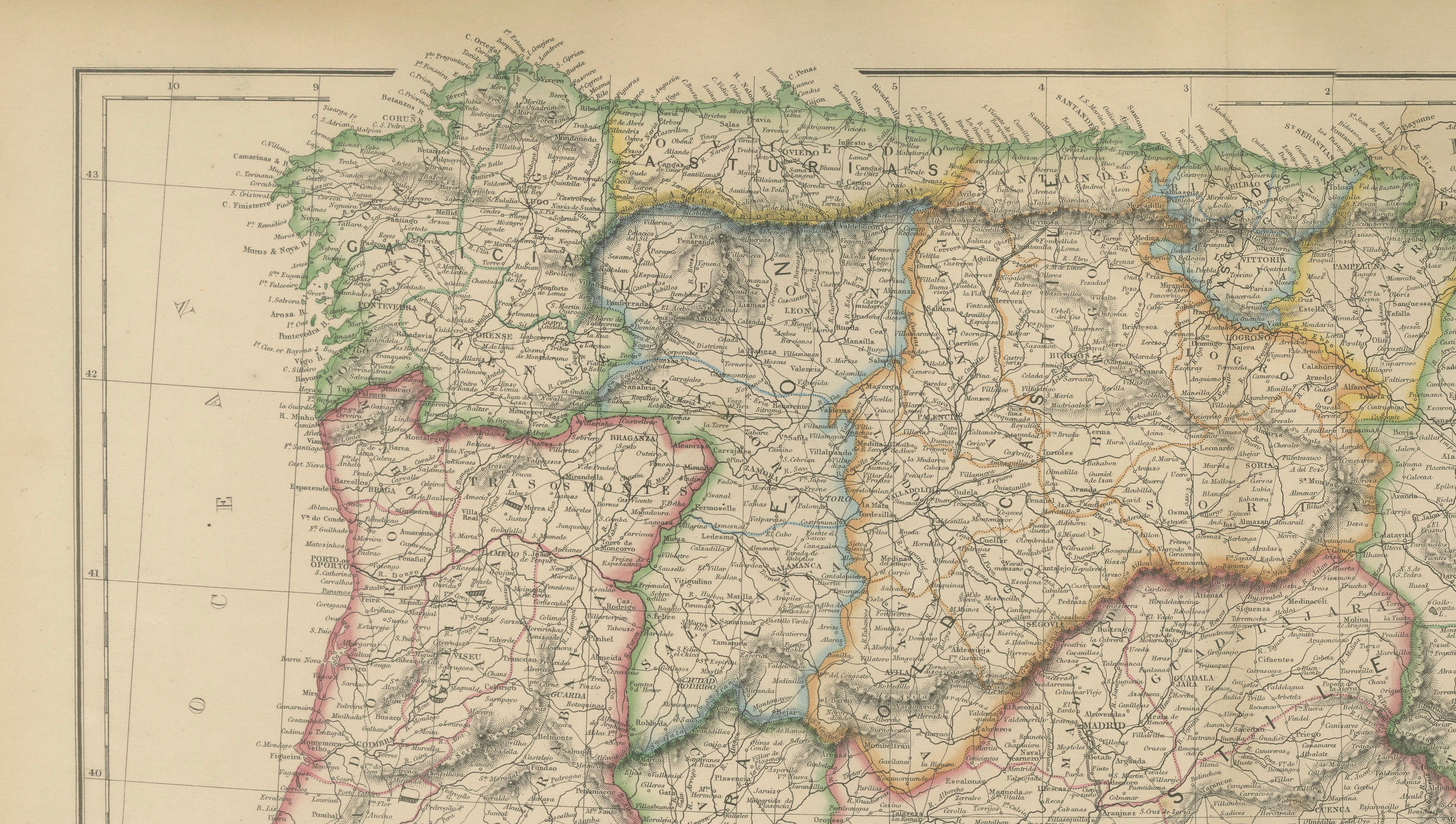
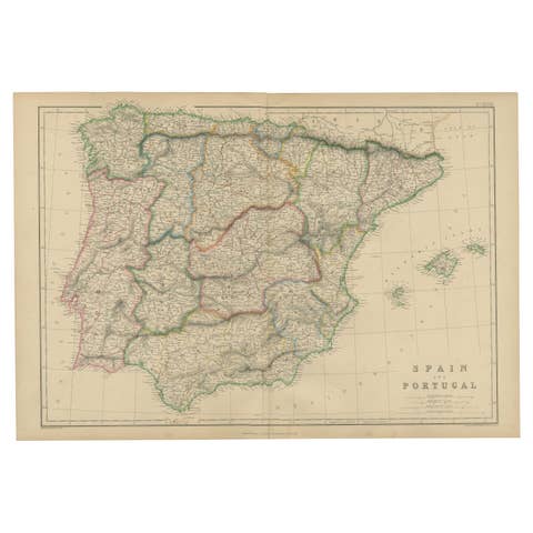
This finely detailed original antique map depicts the Iberian Peninsula, showing Spain and Portugal in remarkable detail during the mid-nineteenth century. Published by the respected Scottish firm Blackie & Son around 1860, the map presents one of Europe's most historically significant regions at a time of political modernization, expanding railways, and growing international trade.
The map is beautifully engraved and enhanced with original outline hand color distinguishing the various provinces and administrative regions throughout Spain and Portugal. Hundreds of cities, towns, villages, rivers, mountain ranges, roads, and provincial boundaries are carefully recorded. Major cities including Madrid, Lisbon, Barcelona, Valencia, Seville, Granada, Toledo, Zaragoza, Bilbao, Porto, and many others are clearly identified.
Particularly striking is the depiction of the peninsula's dramatic geography. The Pyrenees form a natural boundary with France, while the Cantabrian Mountains, Sierra Morena, and Sierra Nevada are rendered with delicate hachuring that conveys the rugged terrain for which the region is renowned. The map also includes the Balearic Islands in the Mediterranean, providing a comprehensive view of Spanish territory.
Published during the Victorian era, the map captures Spain and Portugal before many of the major political, industrial, and infrastructural developments of the late nineteenth century. Railways, roads, ports, and regional divisions shown on the map provide valuable insight into the historical geography of the Iberian Peninsula. It serves as both a decorative work of art and an important historical document illustrating the region during a transformative period.
Blackie & Son of Glasgow, Edinburgh, and London were among the leading atlas publishers of the nineteenth century. Their maps are admired for their precision, attractive original coloring, and high-quality engraving, making them increasingly desirable among collectors of antique cartography.
This map is an excellent acquisition for collectors interested in Spain, Portugal, European history, travel, genealogy, military history, and nineteenth-century cartography. Its large format and attractive coloring make it particularly suitable for display in a study, library, office, or travel-inspired interior.
Keywords: Spain, Portugal, Iberian Peninsula, Madrid, Lisbon, Barcelona, Seville, Granada, Toledo, Valencia, Balearic Islands, Pyrenees, antique map, Blackie & Son, nineteenth century map, European cartography, Spanish history, Portuguese history, Victorian atlas.
Condition: Good antique condition with age-related toning and light handling wear consistent with age. Minor imperfections may be present as expected for a map of this period. Please examine the photographs carefully as they form part of the description.
Framing Tips: This map displays beautifully in a walnut, dark mahogany, or black frame with an ivory museum-quality mat. The subtle original coloring and extensive geographic detail create an elegant and scholarly presentation suitable for both traditional and contemporary interiors.
This offering is for an original nineteenth-century map, not a modern reproduction. Any framed room visualizations are intended solely to illustrate possible display options and may not accurately represent the map's exact scale. The map is sold unframed.
Technique: Steel engraving with original hand color
Maker: Blackie & Son, Glasgow, Edinburgh & London, circa 1860–1880