About this sheet
Set of Four Antique Maps of Caribbean Islands by Bryan Edwards, 1818
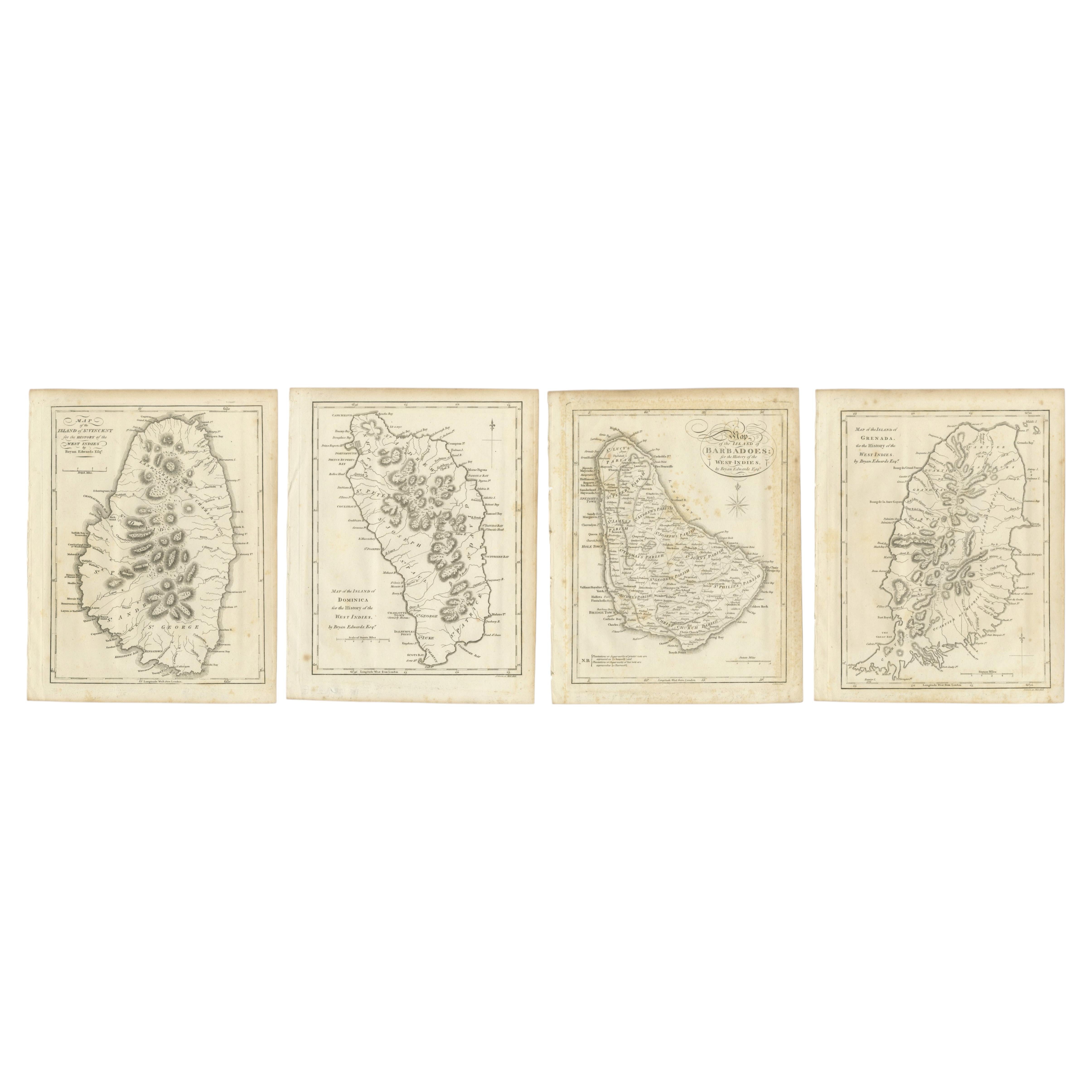
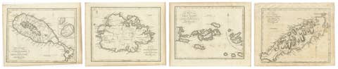
Fine set of four original antique engraved maps of Caribbean islands, depicting St. Vincent, Dominica, Barbados and Grenada. The maps were published for Bryan Edwards' important "History of the British West Indies," London, 1818.
The set comprises:
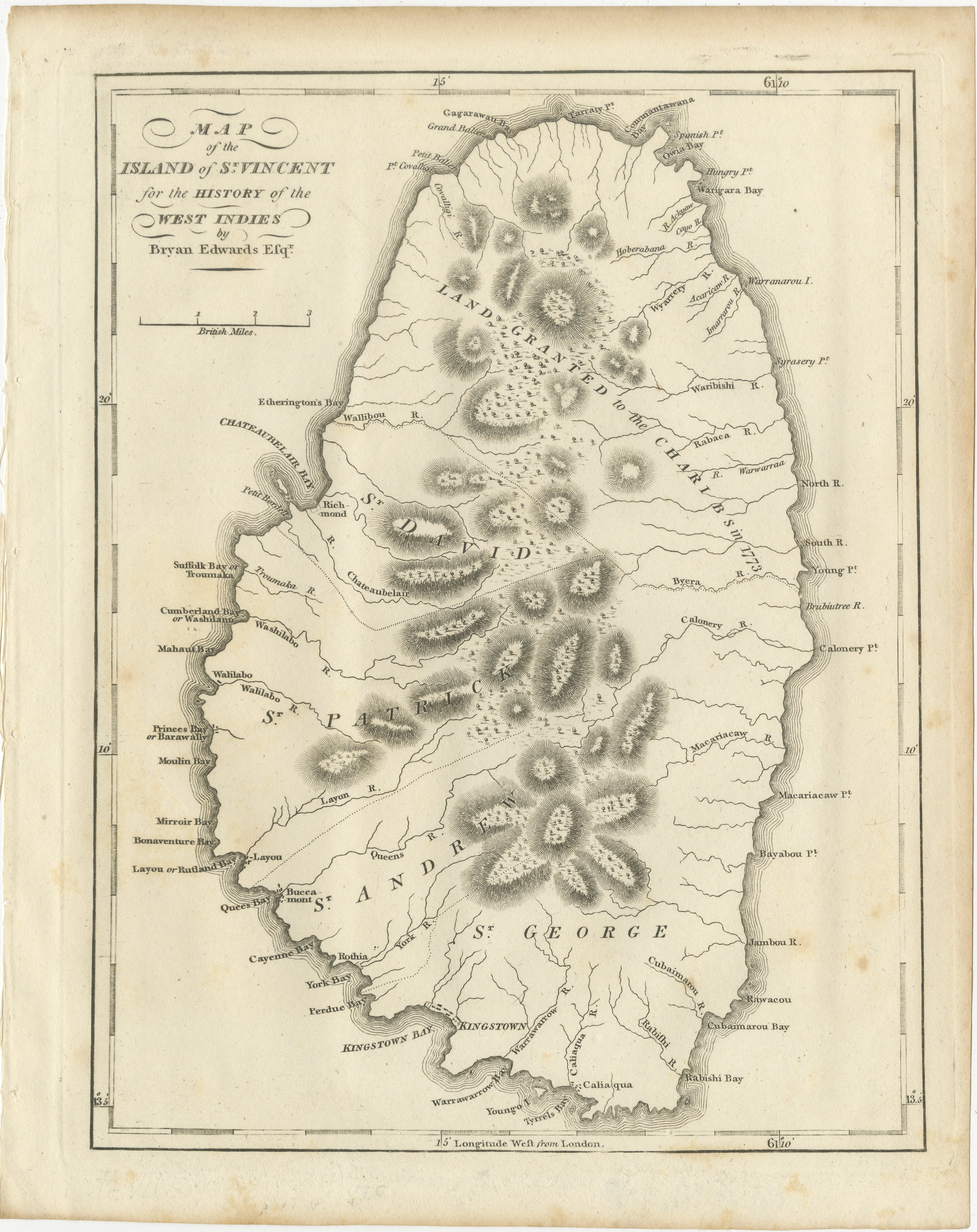
1. Map of the Island of St. Vincent
A detailed map showing the mountainous topography of St. Vincent, rivers, bays, settlements and administrative divisions. Among the places identified are Kingstown, Chateaubelair, Wallibou, Layou, Cumberland Bay and numerous coastal points and rivers.
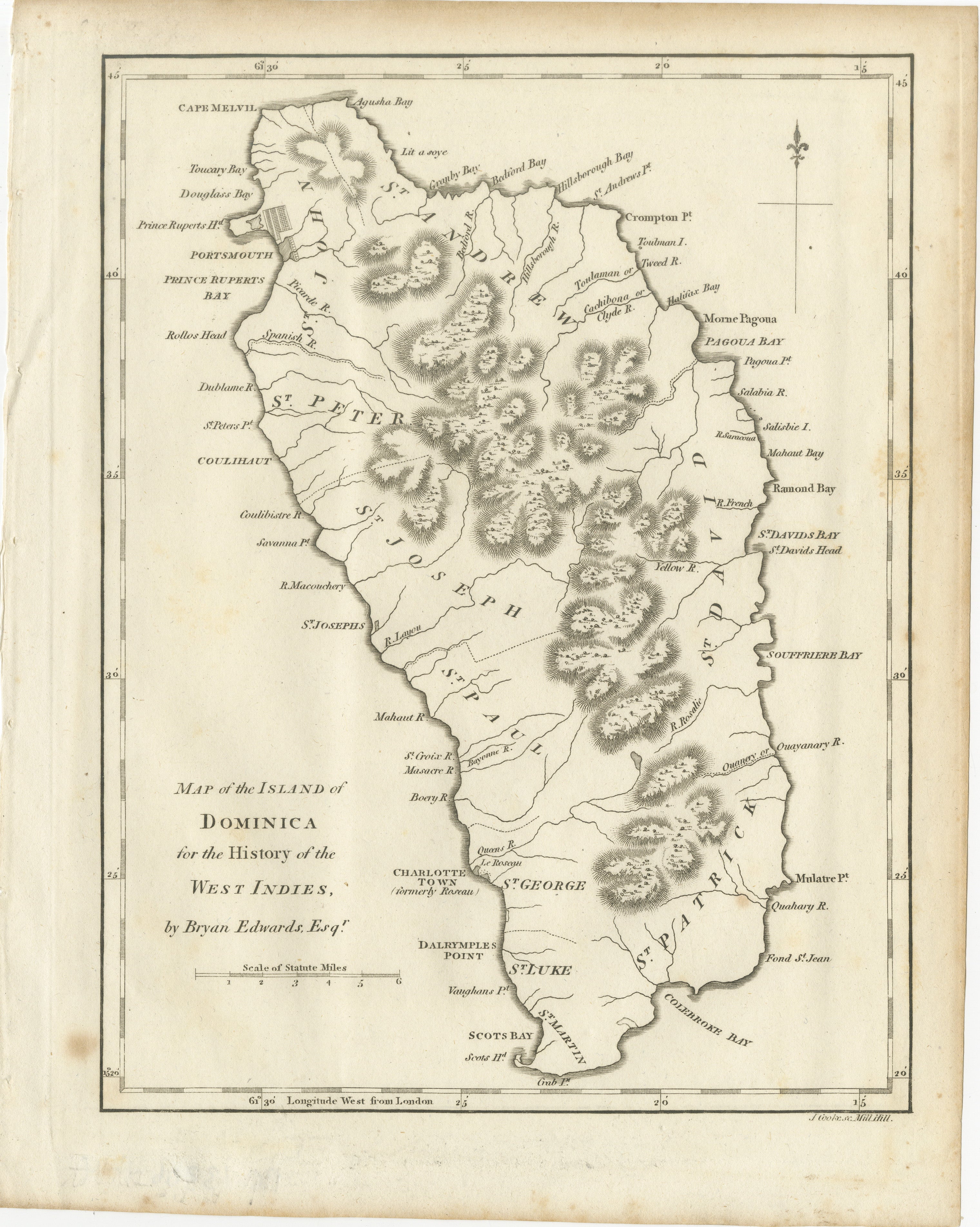
2. Map of the Island of Dominica
Detailed map of Dominica with its dramatic mountainous interior rendered in fine hachuring. The island is divided into parishes and includes Portsmouth, Prince Rupert's Bay, Roseau, St. David's Bay and numerous rivers, bays and coastal settlements.
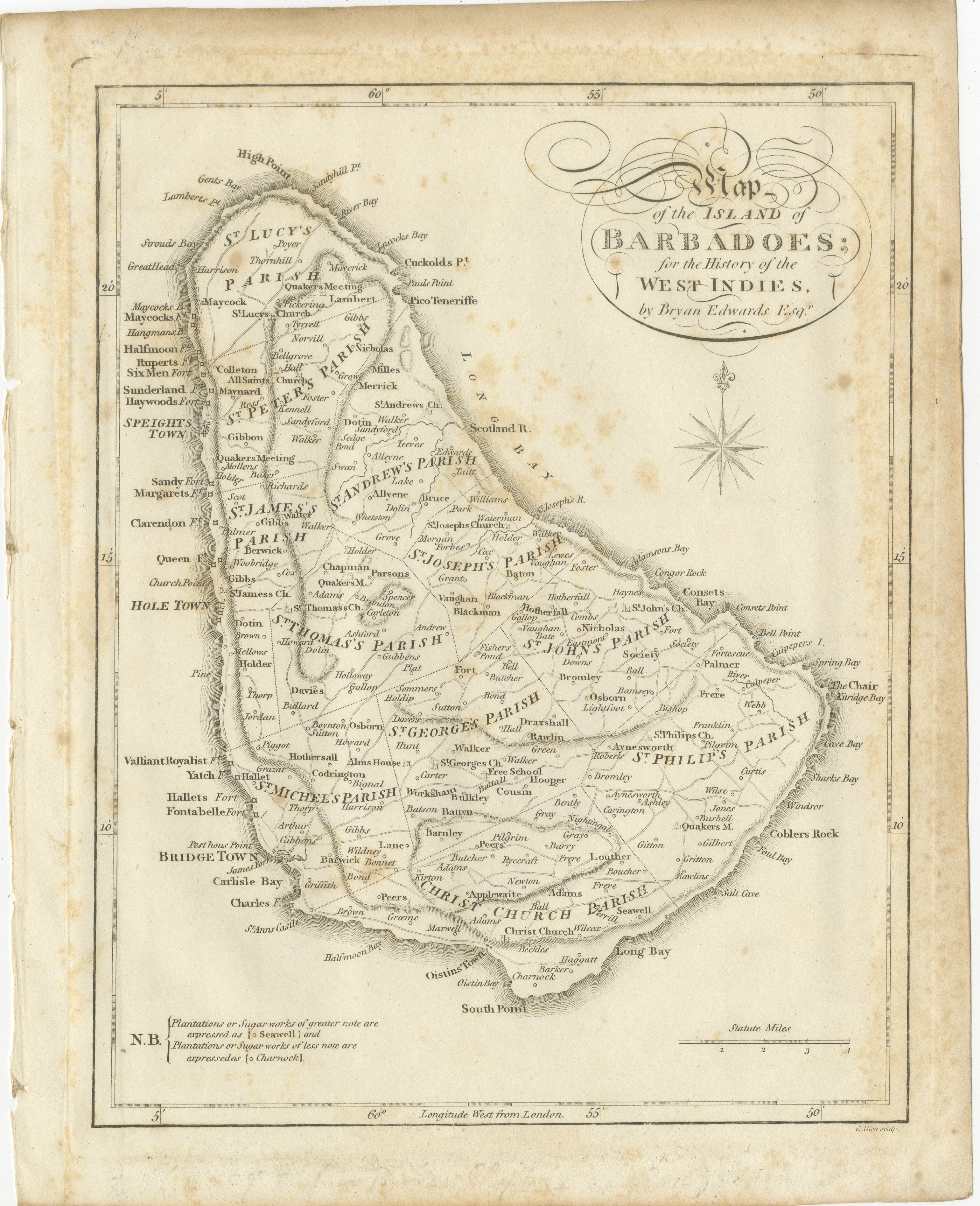
3. Map of the Island of Barbadoes
An especially detailed map of Barbados, divided into its historic parishes and densely engraved with towns, churches, plantations, roads, coastal features and other locations. The map includes Bridgetown, Speightstown and the island's numerous plantation districts. An engraved compass rose appears to the right.
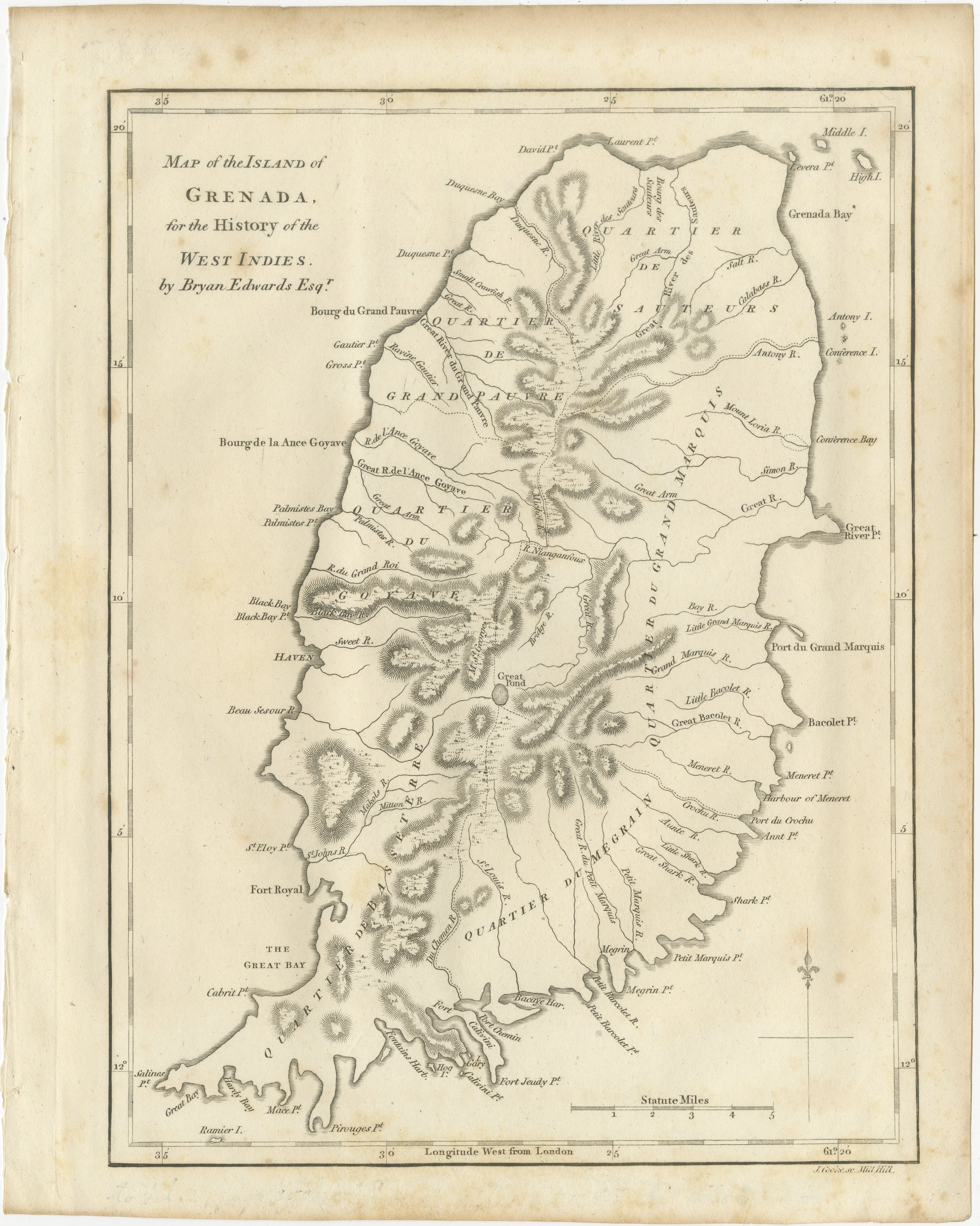
4. Map of the Island of Grenada
Detailed map of Grenada showing the island's mountainous terrain, rivers, settlements, bays and historic administrative quarters. Fort Royal, the Great Bay and numerous plantations and coastal locations are identified.
The maps were prepared for the writings of Bryan Edwards (1743–1800), the British politician, merchant, plantation owner and historian whose extensive work on the British West Indies became an important contemporary source for the geography, economy and colonial history of the Caribbean.
Edwards spent considerable time in Jamaica and was closely involved with the plantation economy of the British Caribbean. He was a Member of Parliament and a Fellow of the Royal Society. He was also an outspoken defender of the West Indian plantation system and opponent of the abolitionist campaign led by William Wilberforce, giving these maps an important historical context relating to British colonialism, plantation society and the history of slavery in the Caribbean.
The four maps form an attractive and highly decorative group and work particularly well displayed together.
Author: Bryan Edwards (1743–1800)
Subject: St. Vincent, Dominica, Barbados and Grenada
Technique: Engraving on paper
Origin: London, England
Publication: History of the British West Indies
Date: 1818
Number of maps: 4
Condition:
Fair antique condition. General age-related toning and scattered foxing and spotting, particularly in the margins. Some minor edge wear and irregularities consistent with removal from the original volumes. The engraved areas remain clear and well defined. Please study the photographs carefully as they form part of the condition description.
A matching portrait of Bryan Edwards and the engraved title leaf from the same 1818 publication are also available separately.
Four original antique maps, more than 200 years old. Not modern reproductions.
Sold unframed. Any framed images, compilations or interior views shown are for presentation and inspiration only.