About this sheet

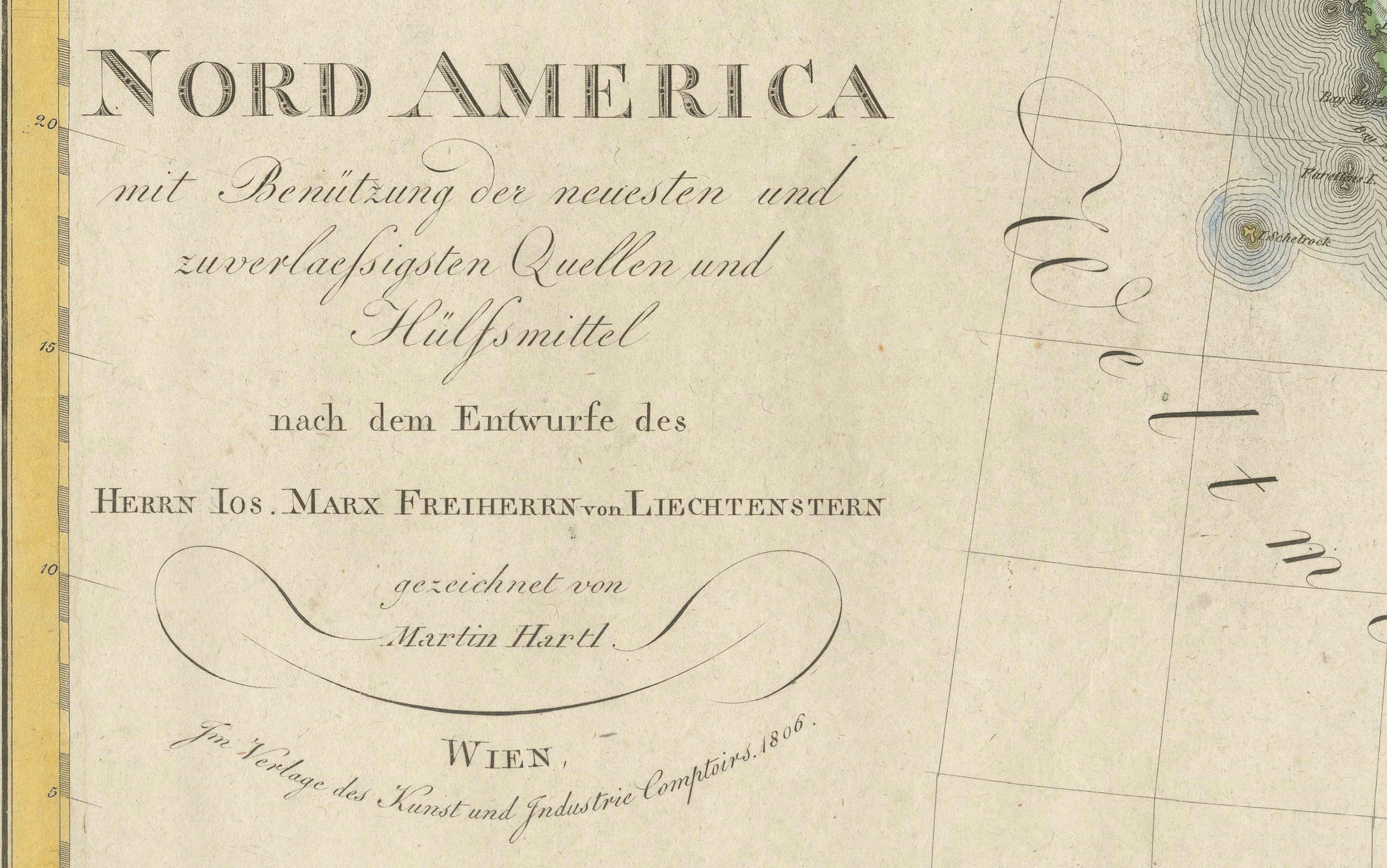
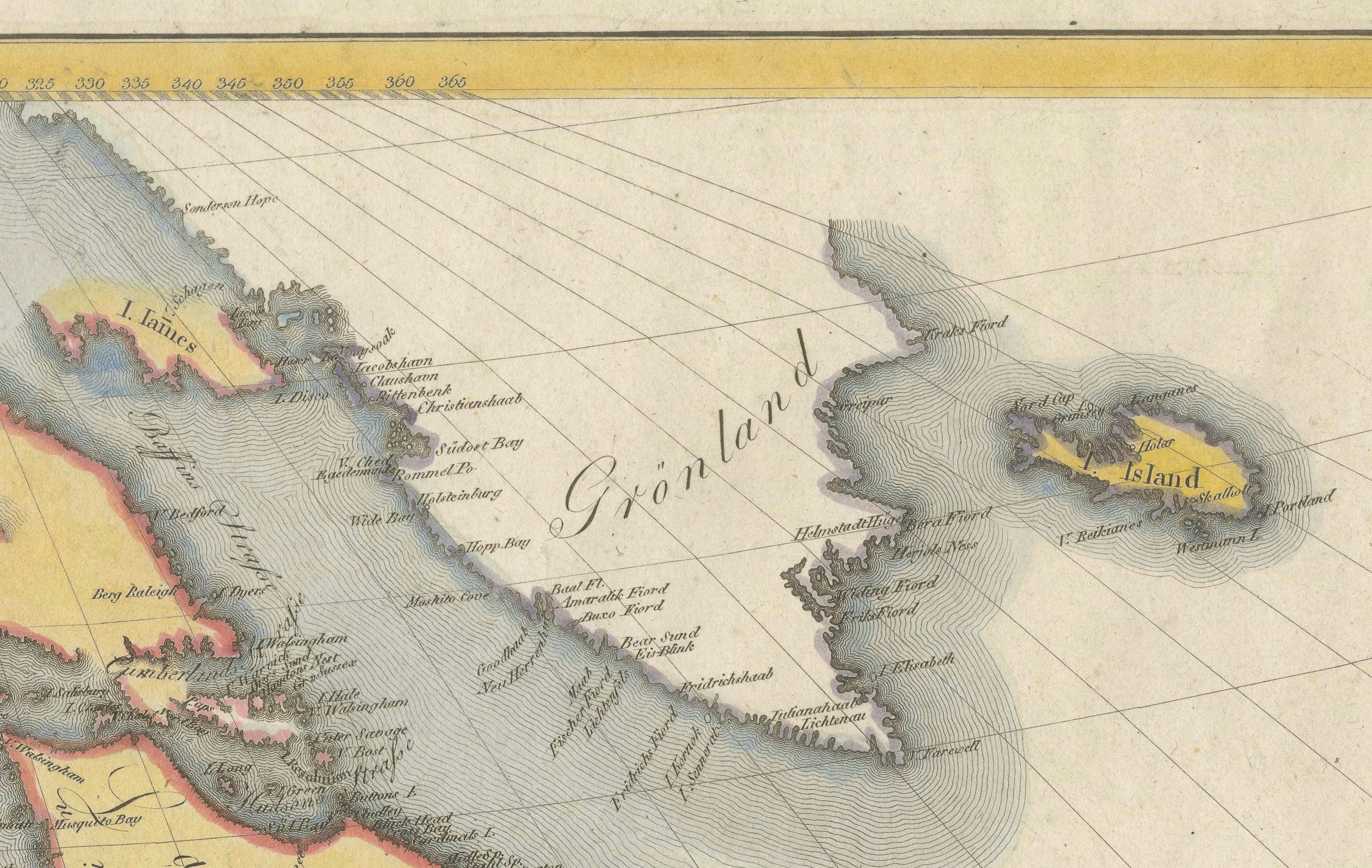
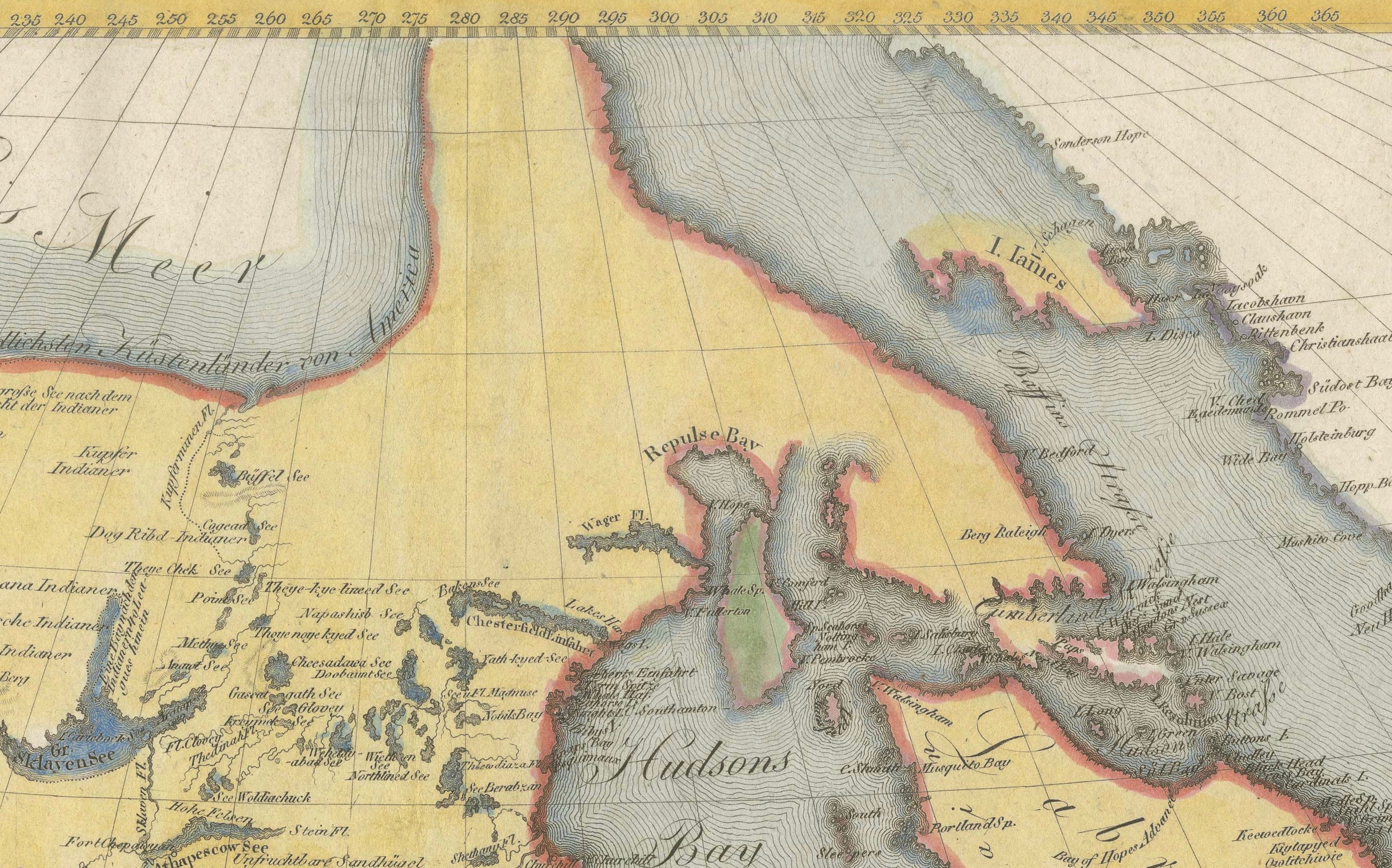
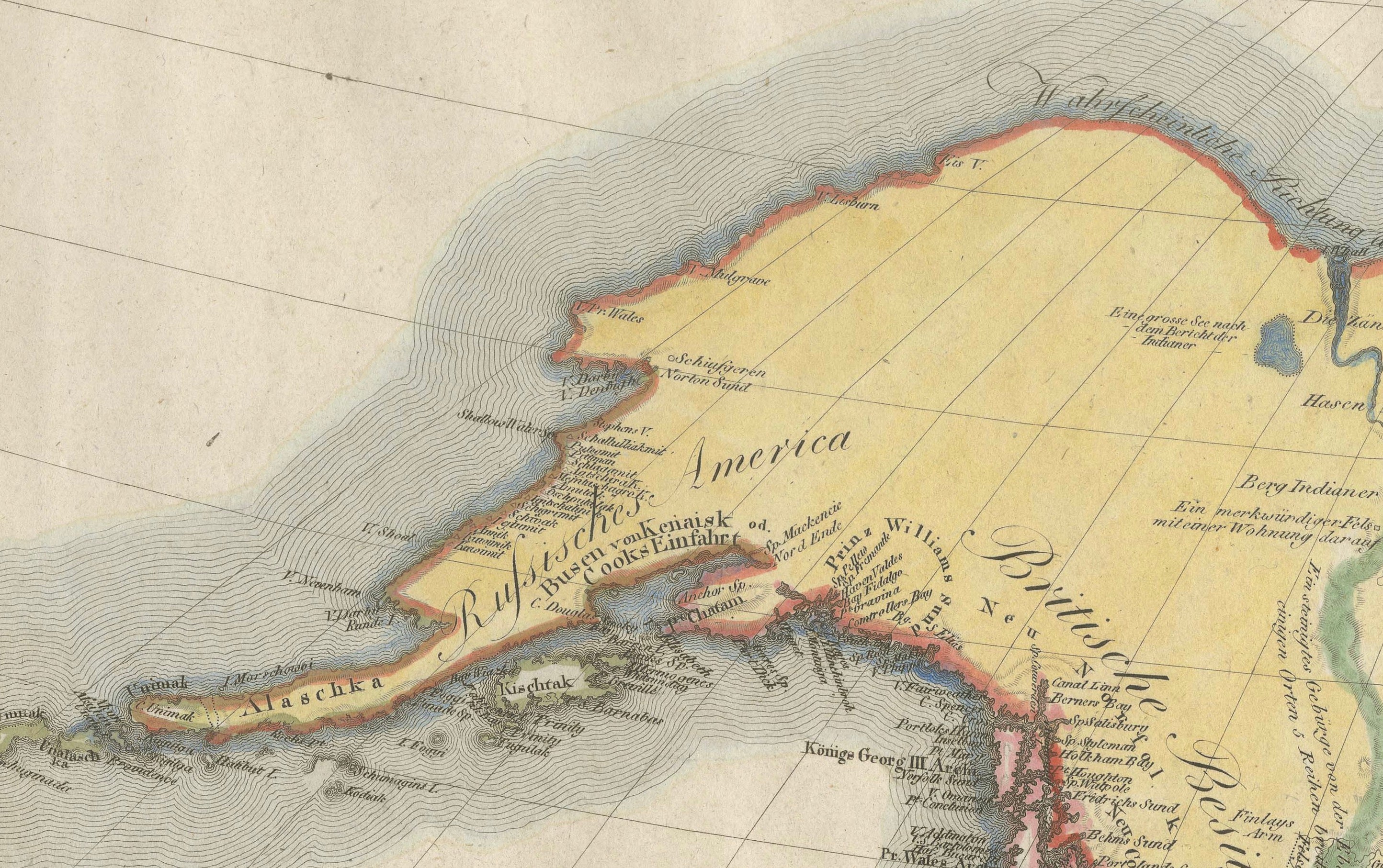
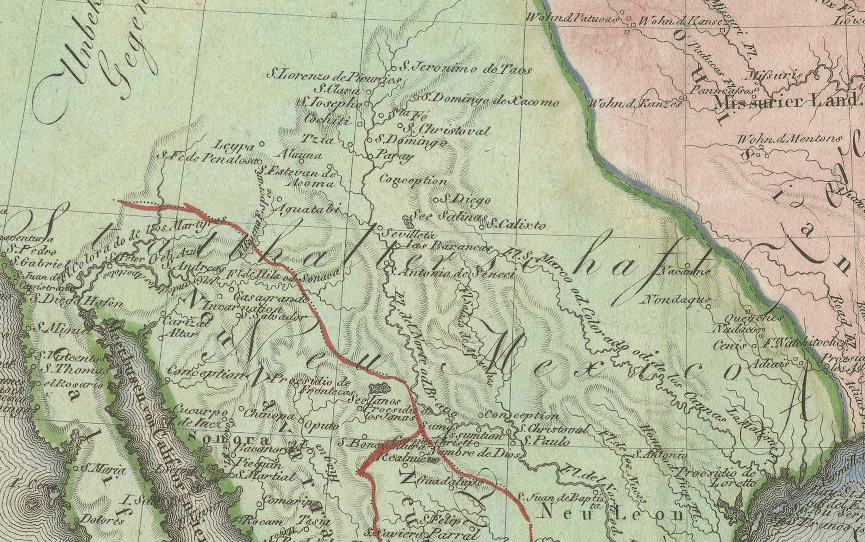
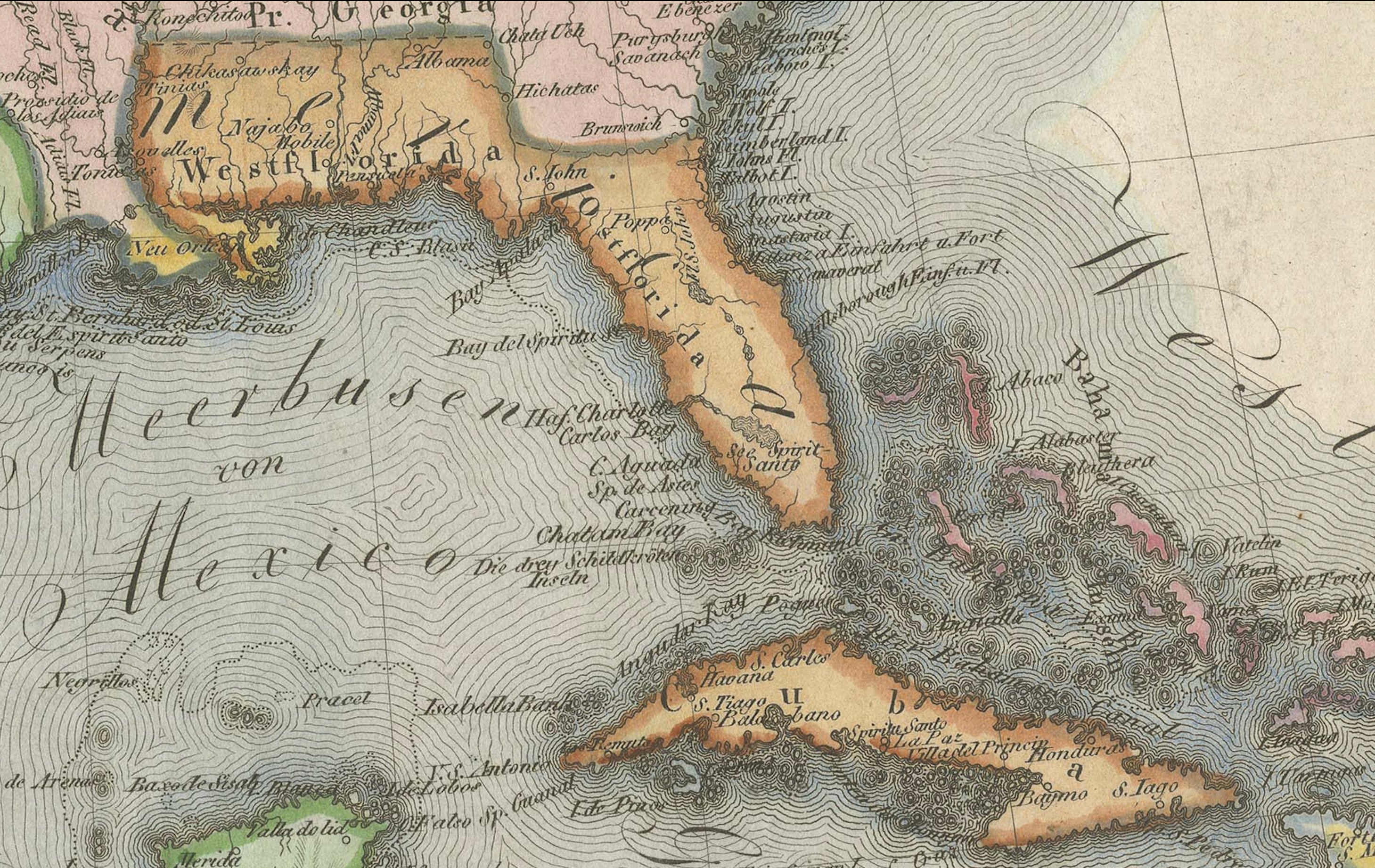
Large and highly decorative original hand-colored copper engraving map of North America, published in Vienna in 1806. Entitled “Nord America mit Benützung der neuesten und zuverlässigsten Quellen und Hülfsmittel,” the map was produced after the geographical design of Joseph Marx Freiherr von Liechtenstern and drawn and engraved by Martin Hartl.
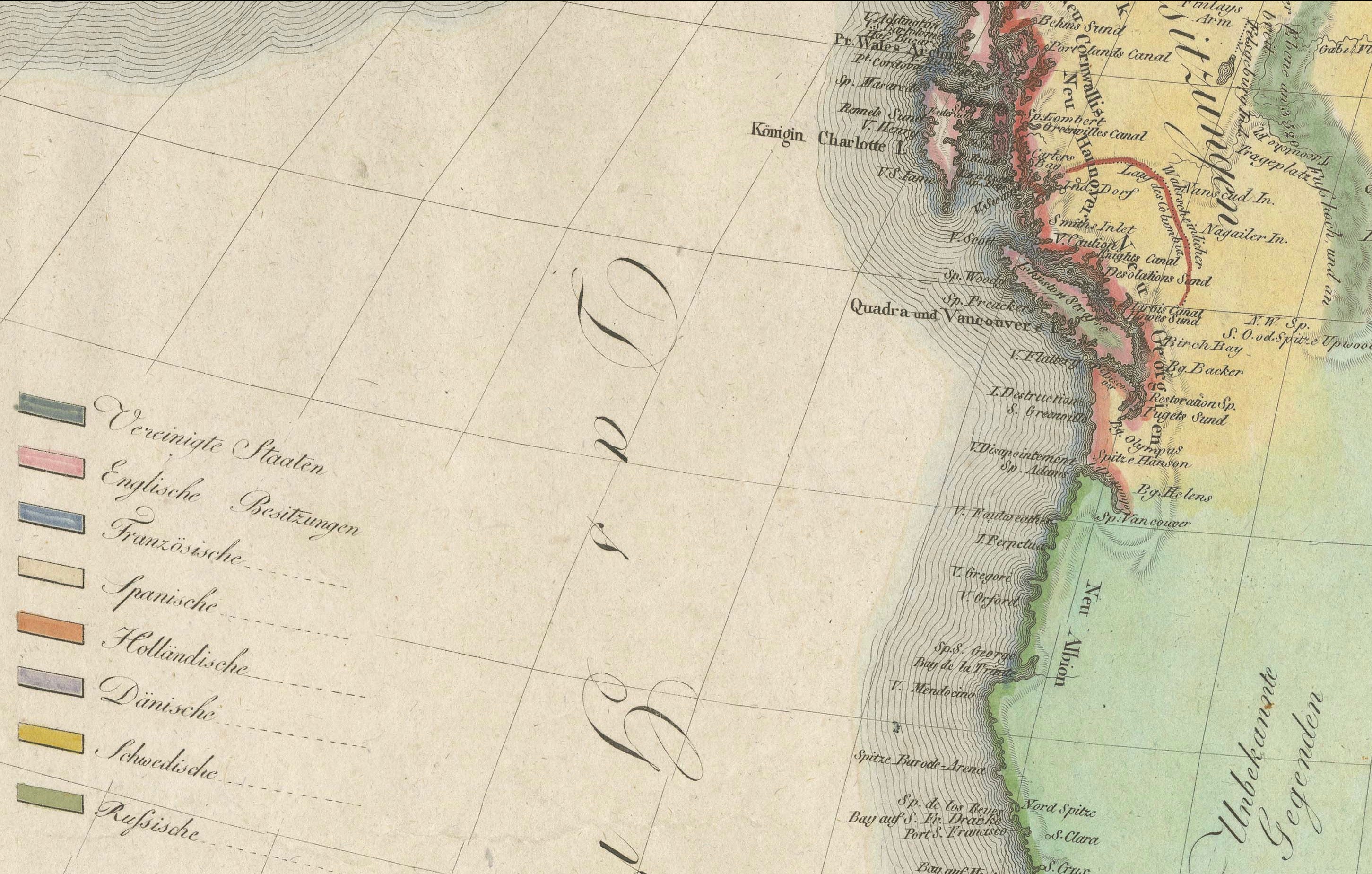
The map presents North America at the beginning of the 19th century, covering Canada, the United States, Mexico, Central America, Greenland and the Caribbean, together with the northernmost part of South America. The territories are distinguished by attractive original or period hand coloring, with a color key at left identifying the various colonial and political possessions.
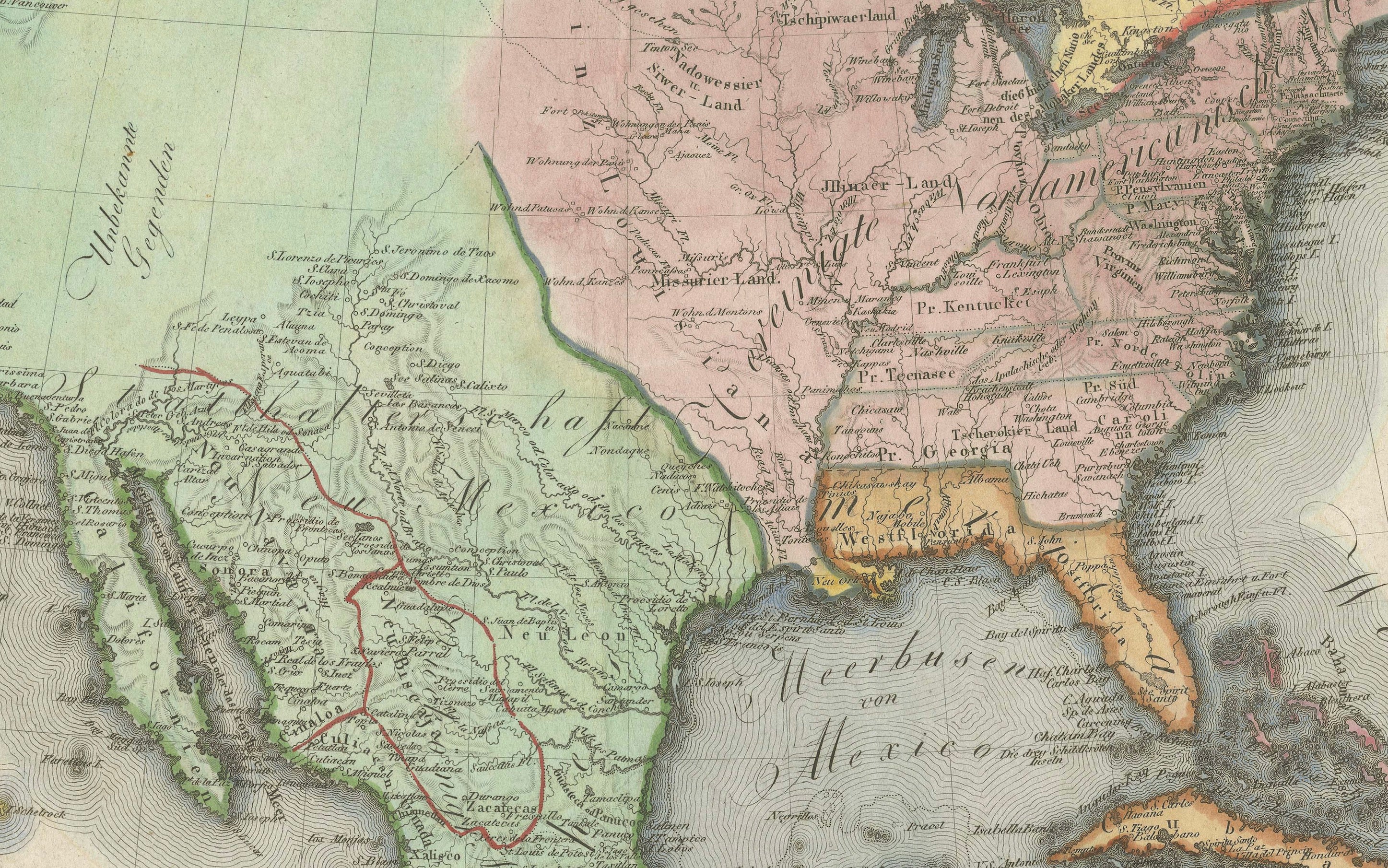
Particularly interesting is the representation of the western and northern interior, where large areas remained imperfectly surveyed by Europeans. The geography reflects contemporary knowledge shortly after the Louisiana Purchase of 1803 and during the period of the Lewis and Clark Expedition of 1804–1806.
Surrounded by a graduated border and retaining its elegant engraved German title cartouche at lower left, the map combines considerable historical interest with strong decorative appeal. Its substantial dimensions, delicate coloring and fascinating depiction of North America make it an excellent example of early 19th-century European cartography.
ORIGINAL TITLE:
“Nord America mit Benützung der neuesten und zuverlässigsten Quellen und Hülfsmittel”
CARTOGRAPHER:
Joseph Marx Freiherr von Liechtenstern (1765–1828), after
ENGRAVER / DRAUGHTSMAN:
Martin Hartl
DATE:
1806
PLACE OF PUBLICATION:
Vienna, Austria
MEDIUM:
Original hand-colored copper engraving on paper
DIMENSIONS:
60.5 × 73.5 cm
Approximately 23.8 × 28.9 inches
PERIOD / STYLE:
Early 19th century
Napoleonic period
Historical cartography
CONDITION:
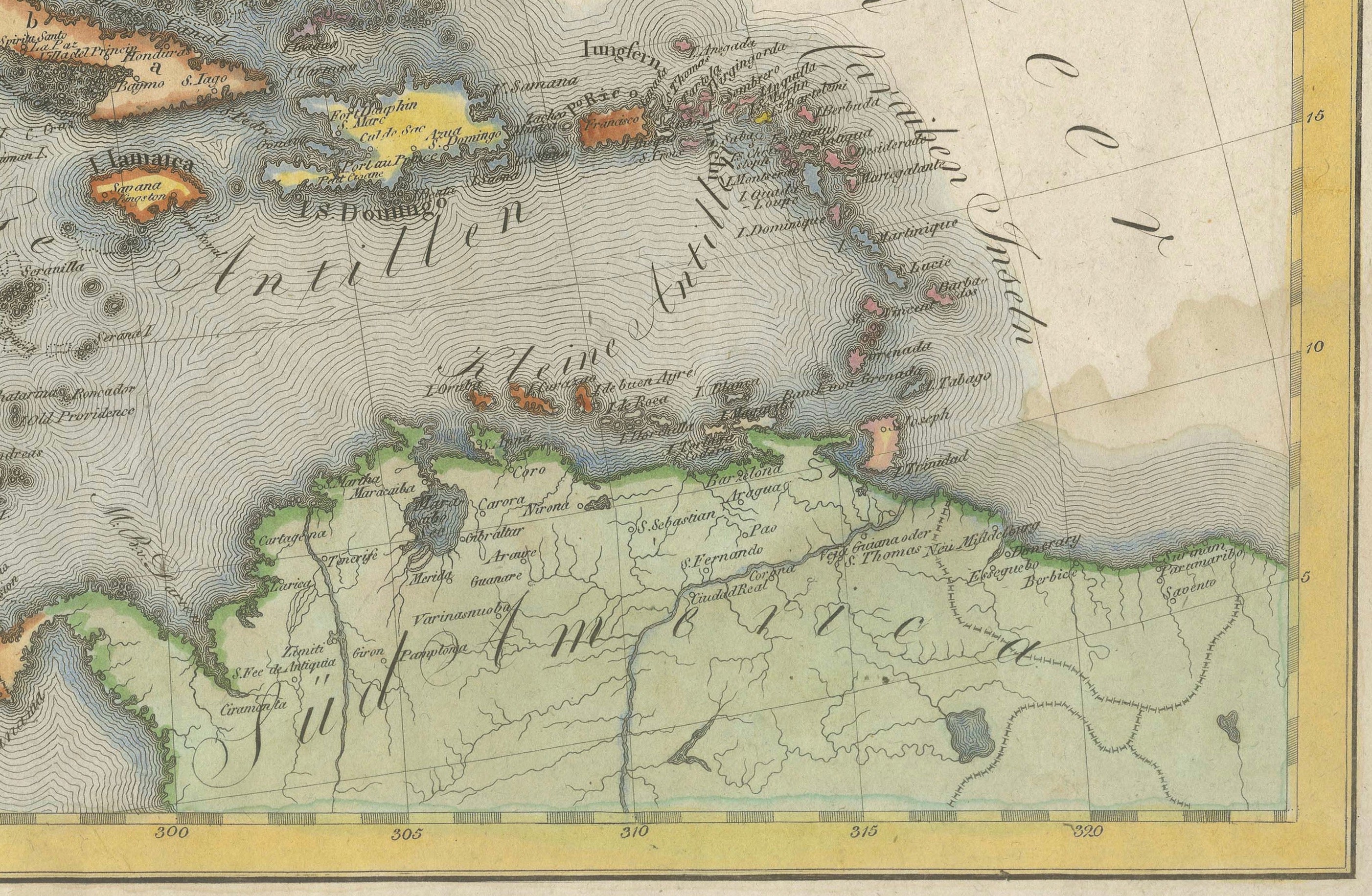
Good antique condition considering the map's age and large format. The sheet shows some age-related toning and browning, marginal tears and old fold or crease marks. A water stain is visible near the lower-right corner, together with some additional minor age-related marks and handling wear. Despite these imperfections, the principal engraved map area remains attractive and highly presentable, with appealing period coloring and a wealth of finely engraved geographical detail. Please examine the photographs carefully as they form an integral part of the condition description.
FRAMING:
Offered unframed. Any framed or interior photographs shown are for presentation and inspiration only.
AUTHENTICITY:
An original antique hand-colored copper engraving map published in Vienna in 1806. This is not a modern reproduction.
KEYWORDS:
Antique map North America, North America map, United States map, Canada map, Mexico map, 1806 map, large antique map, Joseph Marx von Liechtenstern, Liechtenstern map, Martin Hartl, Vienna map, Austrian cartography, hand-colored map, copper engraving, early 19th century map, Napoleonic era, Louisiana Purchase, Lewis and Clark, historical map, Americana, Caribbean map, Greenland map, Central America map, original antique map