Home / New arrivals
New arrivals
The latest sheets added to the collection
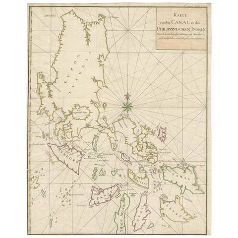
Large German Chart of the Philippines with Hand-Colored Borders, 1763
1763 · € 990
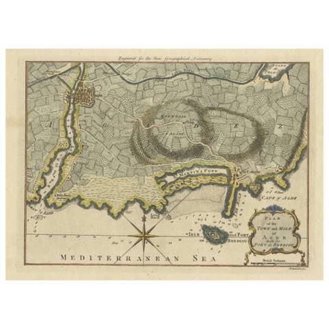
Antique Map Plan of Town and Mole of CAP D'agde & Fort De Brescou, France, 1759
1759 · € 490
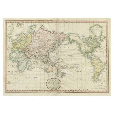
Attractive Antique Map of the World as Planisphere, Shows Cook's Voyages, 1799
1799 · € 1 500
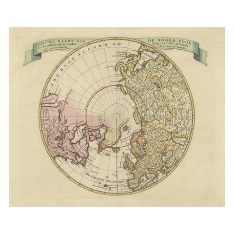
Greenland and California as an Island – Antique Northern Hemisphere Map, ca.1750
1750 · € 720
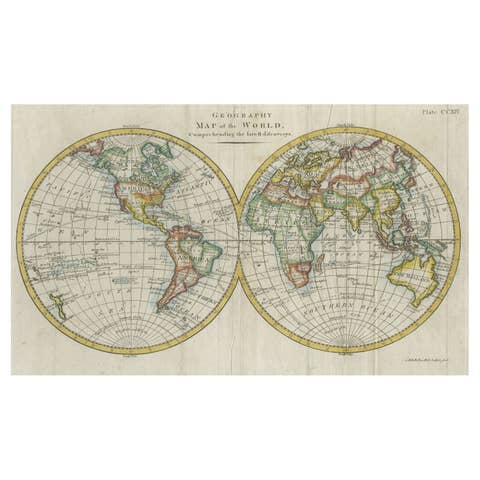
Interesting Original Antique Hemisphere Map Showing the Latest Discoveries, 1786
1786 · € 1 100
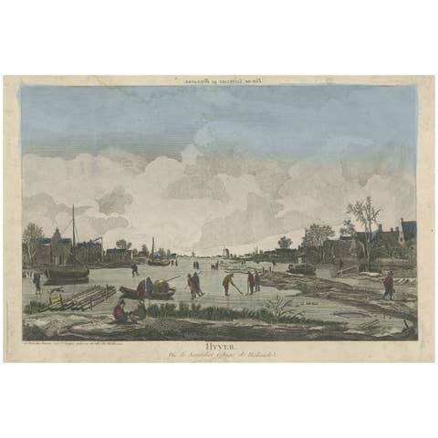
Antique Optical Print of People Ice Skating and Playing Ice-Hockey, 1780
1780 · € 440
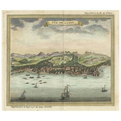
Antique Print of Dabul 'now Dabhol' India, 1766
1766 · € 580
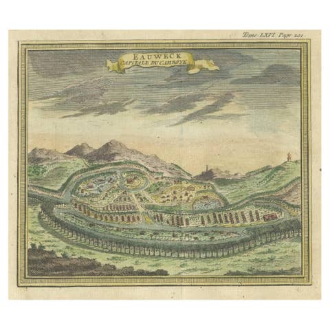
Antique Print of Longvek or Lavek the capital of Cambodia, 1766
1766 · € 430
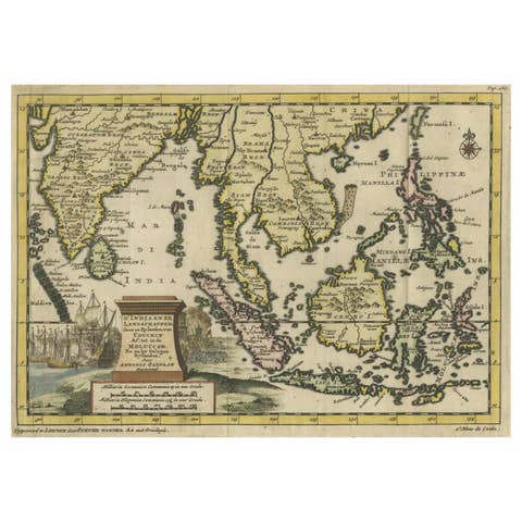
Striking Antique Map Centered on the Malay Peninsula, 1706
1706 · € 1 200
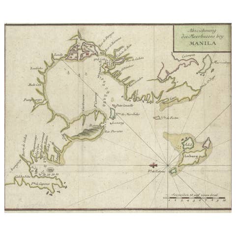
Antique Map of the Bay of Manila, Capital of the Philippines, 1763
1763 · € 460
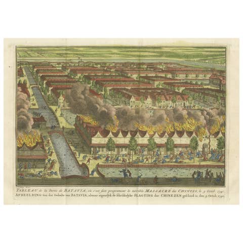
Antique Print of the Batavia Massacre 'Present-Day Jakarta', Indonesia, ca.1740
1740 · € 910
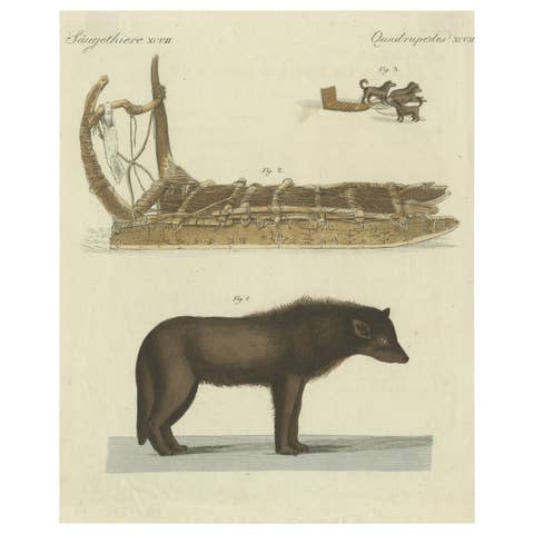
Antique Print of a Dog from Baffin Bay Greenland and a Dog Sled, ca.1800
1800 · € 330
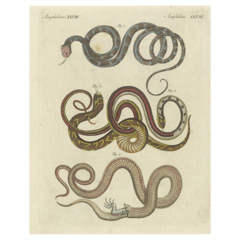
Antique Print of various Snakes including the Buff Striped Keelback Snake, 1800
1800 · € 180
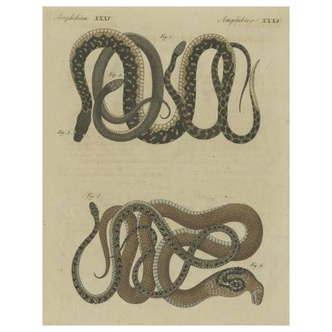
Hand-colored EngravingS of Five various Snakes, incl Dahl's Whip Snake, ca.1800
1800 · € 240
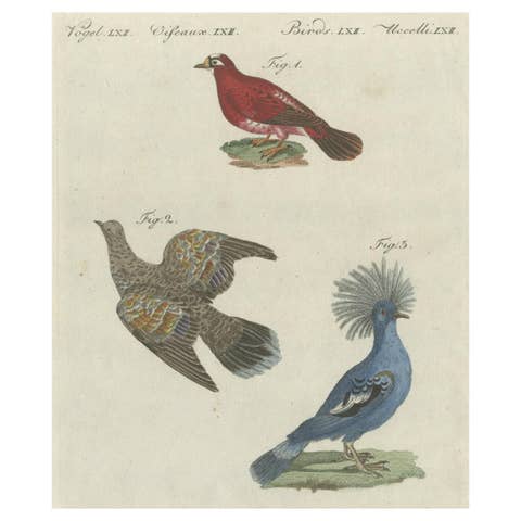
Antique Bird Print of Various Foreign Pigeons Including the Crimson Pigeon, 1800
1800 · € 280

Original Antique Bird Print of African and Asian Vultures, c.1800
1800 · € 160

Set of 3 Colored Antique Prints of various Fishes and Crustaceans, 1726
1726 · € 660
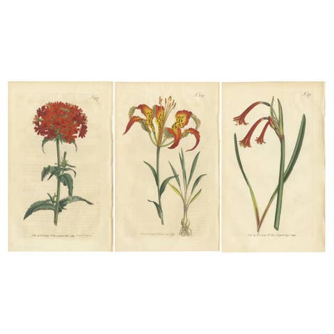
Three Botany Prints Full Color Original Engravings, 1794
1794 · € 540
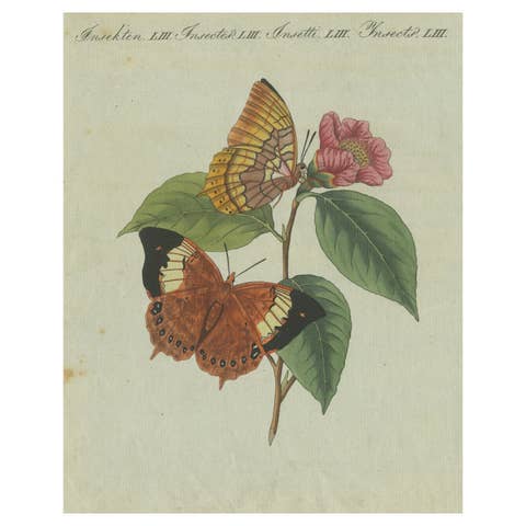
Original Antique Print of a Flower & Butterflies, Beautiful Hand Coloring, 1800
1800 · € 190

Original Antique Print of Various Seashells by G.W. Knorr, ca.1770
1770 · € 280
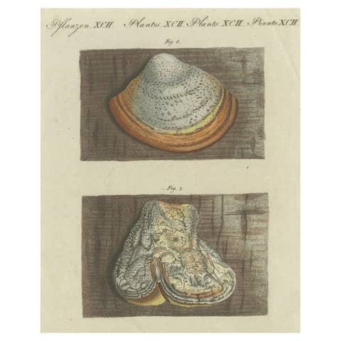
Antique Engraving of Phellinus Igniarius & Laricifomes Officinalis Fungi, 1795
1795 · € 230

Antique Sea Chart by J. B. d'Apres de Mannevillette, Sumatra, 1780
1780 · € 470
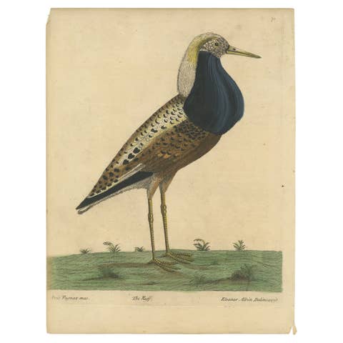
Old Hand-Colored Bird Print of the Male Ruff Wading Bird, a Sandpiper, ca.1738
1738 · € 299
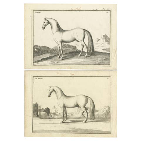
Set of 2 Antique Horse Prints: l'Arabe & Le Barbe, 1739
1739 · € 346

Set of 2 Hand Colored Antique Bird Prints of Parakeet Species, c.1785
1785 · € 560
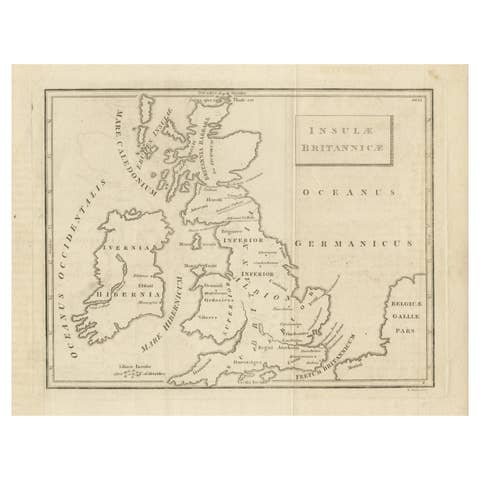
Old Map of British Isles According to the Geography of the Roman Empire, ca.1790
1790 · € 180
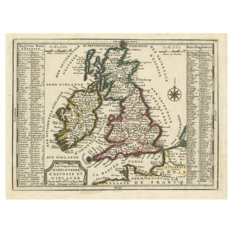
Map of the British Isles with Historical Kings, 1719
1719 · € 440
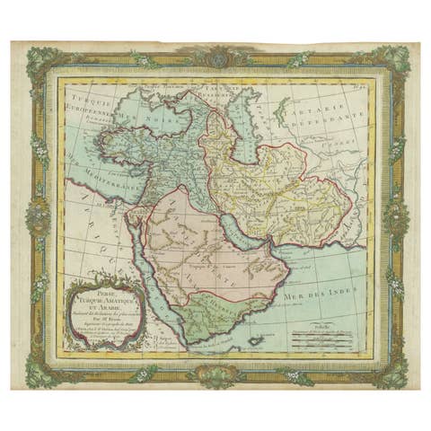
Antique Map of the Middle East with a Large Arabia, 1799
1799 · € 1 490
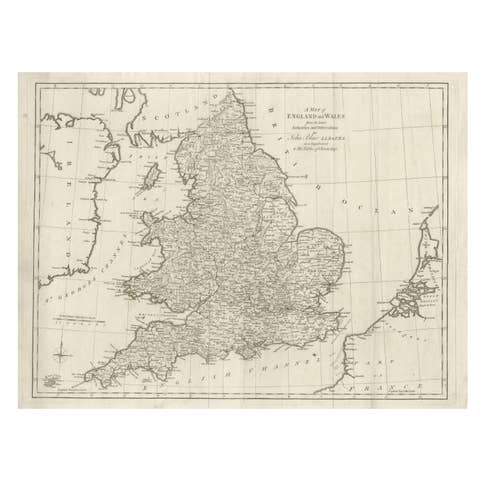
Antique Map of England and Wales by J. Blair, Circa 1779, Wall Art
1779 · € 510
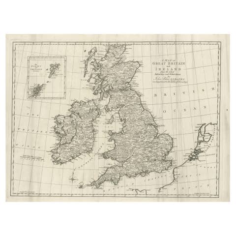
Large Antique Map of the British Isles, inset of the Orkneys and Shetlands, 1779
1779 · € 490
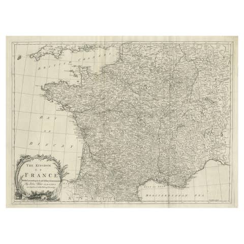
Antique Map of France by T. Kitchin, Engraved, Circa 1779
1779 · € 430
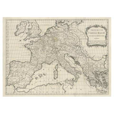
Antique Map of Europe by T. Kitchin, Charlemagne's Empire, Circa 1779
1779 · € 460
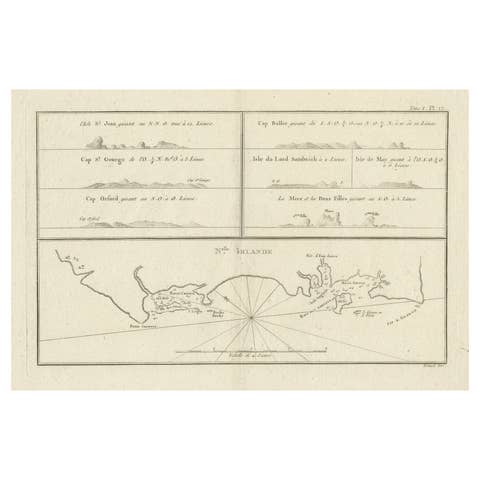
Antique Map of New Ireland (Pacific) with Coastal Profiles – Cook Voyages, 1774
1774 · € 480
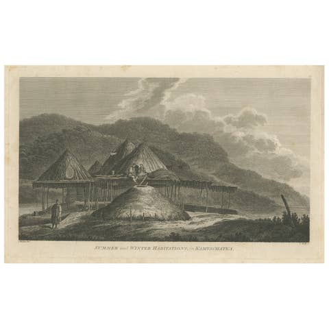
Antique Print of Summer and Winter Habitations in Kamchatka, Russia, 1784
1784 · € 330
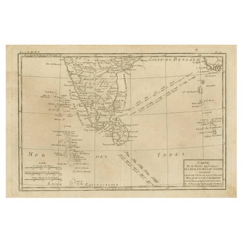
Antique Map of Southern India, Sri Lanka & Maldives with Ocean Currents, 1790
1790 · € 280
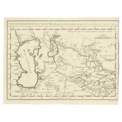
Antique Map of Turkestan & Central Asia – Bellin, 1749
1749 · € 310
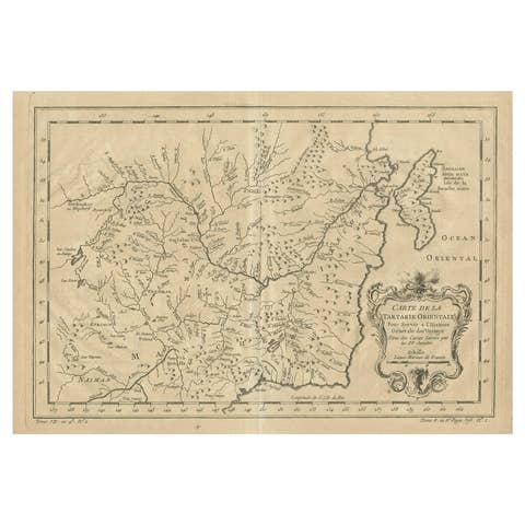
Antique Map of Manchuria & Eastern Tartary – Bellin, 1757
1757 · € 230
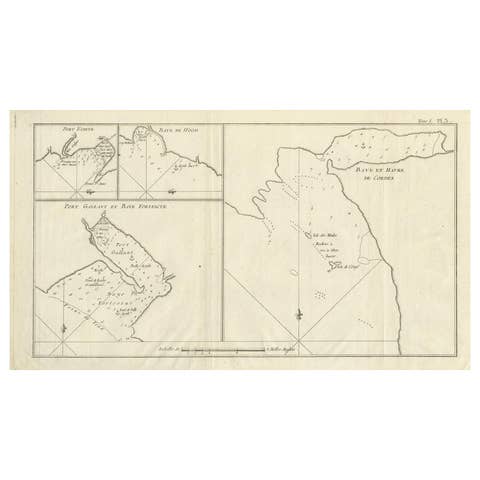
Antique Map of Cordes Bay, Port Famine & Fortescue Bay – Patagonia, 1774
1774 · € 490
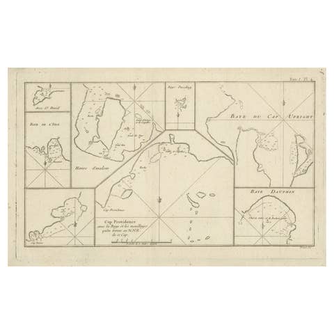
Antique Map of Cape Providence & St. David’s Cove – Strait of Magellan, 1774
1774 · € 440
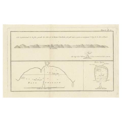
Antique Map of the Queen Charlotte Islands (Santa Cruz) Pacific – Carteret, 1774
1774 · € 279
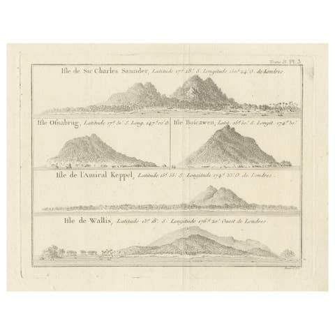
Antique Print with Views of Sir Charles Saunders Island and Other Islands, 1774
1774 · € 320
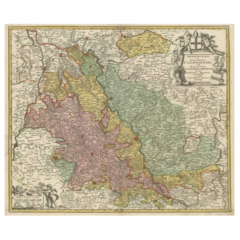
Antique Map of the Rhine centered on Cologne, Germany, circa 1720
1720 · € 540
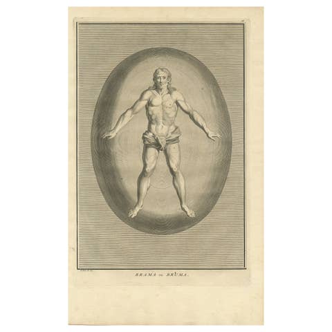
Antique Engraving of Brahma, the Hindu Creator God, 1723
1723 · € 440
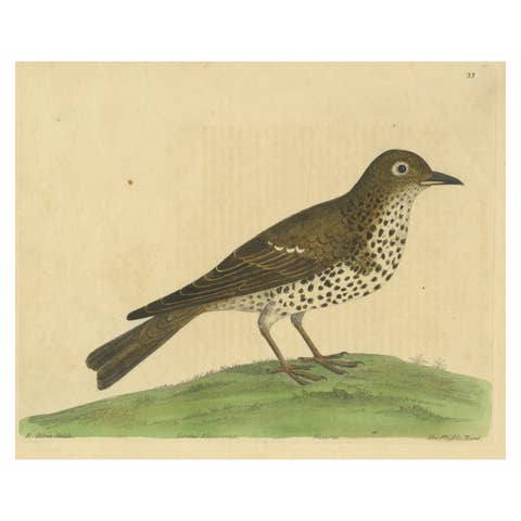
Antique Bird Print of a Mistle Thrush, circa 1731
1731 · € 280
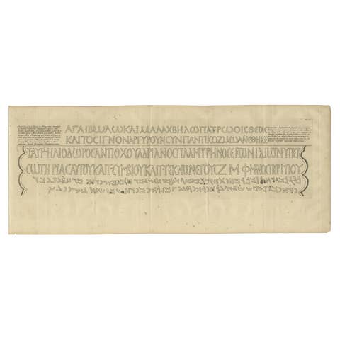
Original Antique Engraving of a Greek Inscription, 1717
1717 · € 390
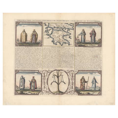
Small Map of Southern Greece Together with Five Greek Religious Scenes, ca.1720
1720 · € 490
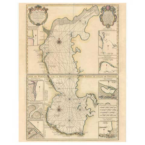
Fabulous Original Antique two-sheet Map of the Caspian Sea, ca.1723
1723 · € 2 200
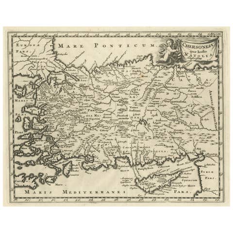
Antique Map of Asia Minor with part of the Greek Archipelago and Cyprus, 1729
1729 · € 340