About this sheet
Antique Map of the Queen Charlotte Islands (Santa Cruz), Pacific – Carteret, 1774
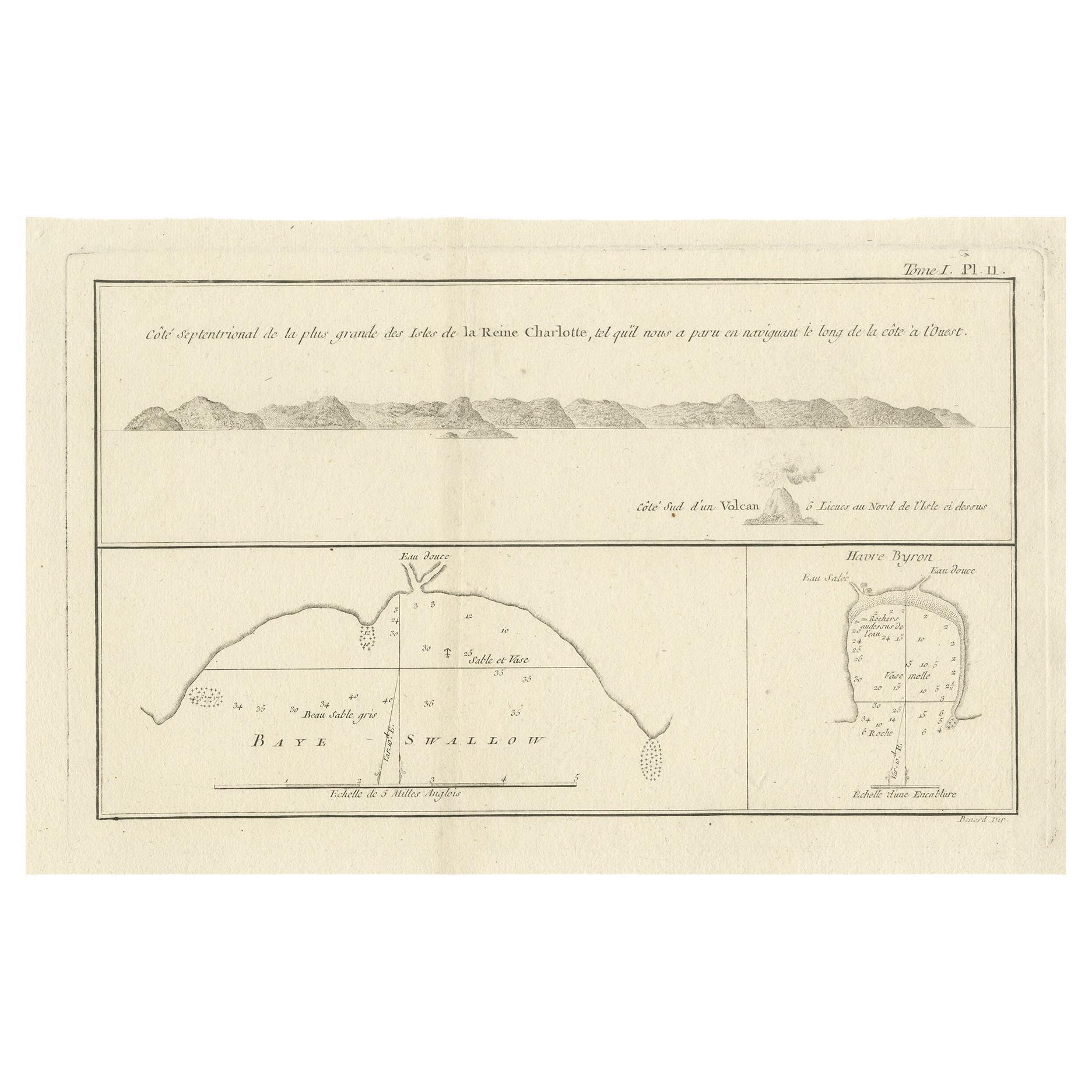
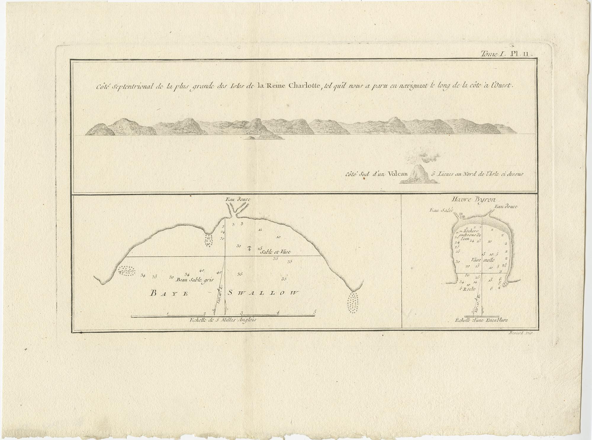
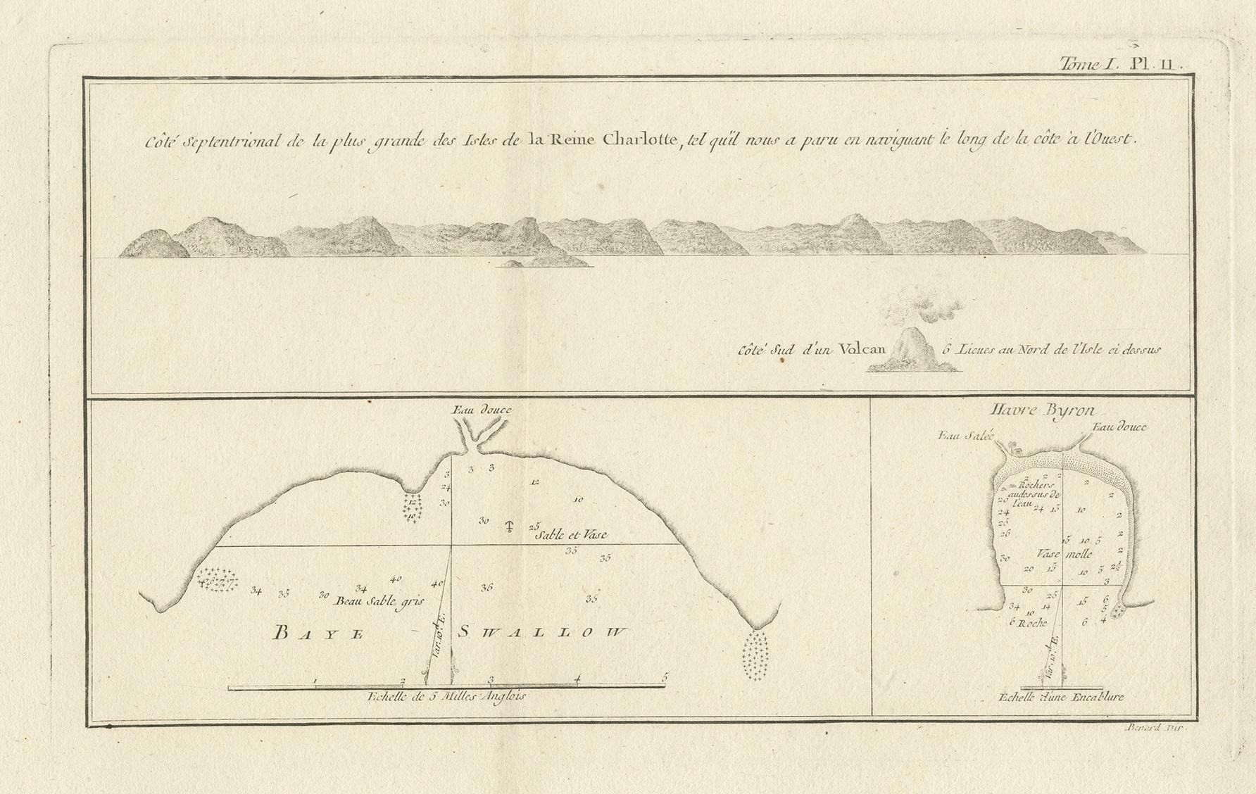
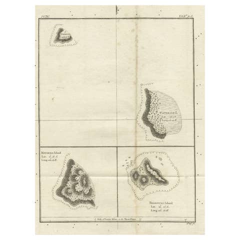
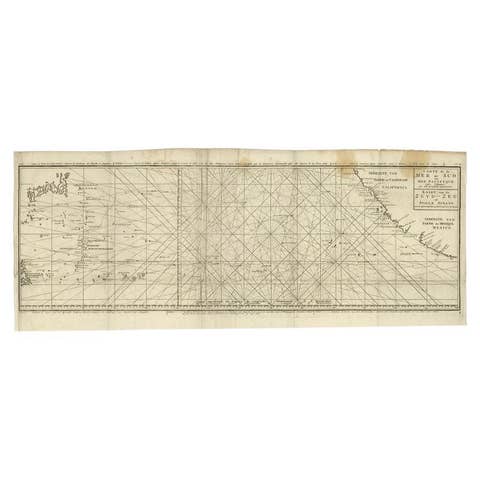
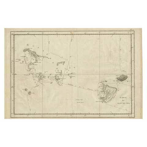
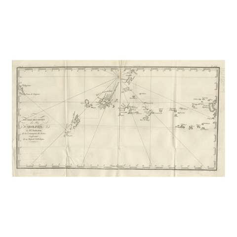
Antique engraved map titled “Côte septentrionale de la plus grande des Isles de la Reine Charlotte,” combining coastal profiles and detailed bay charts of the islands historically known as the Queen Charlotte Islands, today identified with the Santa Cruz Islands in the Solomon Islands region of the South Pacific. The sheet presents a panoramic coastal view of the northern shore of the principal island, together with inset charts of specific anchorages and bays surveyed during eighteenth-century exploration.
The map records observations made during the voyage of Philip Carteret aboard HMS Swallow in July–August 1767. Carteret’s careful coastal profiling and soundings reflect the navigational priorities of the period, providing mariners with recognizable land silhouettes and practical information for approaching unfamiliar shores. Such profile views were essential tools before the advent of modern hydrographic surveying.
European contact with these islands occurred during the intense phase of Pacific exploration in the 1760s. The islands were named Queen Charlotte Island by Samuel Wallis in 1767, honoring Queen Charlotte of Great Britain, a naming that entered both English and French voyage literature of the period. The cartography captures an early moment of European geographic knowledge of the Santa Cruz group, shortly after first recorded encounters.
This map originates from the French edition of An Account of the Voyages Undertaken by the Order of His Present Majesty, edited by John Hawkesworth and published around 1774. Hawkesworth’s work compiled the discoveries of Cook, Carteret, Wallis, and others, and the accompanying maps are among the most important printed visual records of early Pacific exploration.
The restrained engraving, precise coastal outlines, and balanced composition are characteristic of late-eighteenth-century scientific cartography. This sheet is firmly rooted in the context of Pacific exploration and bears no relation to the later Canadian Queen Charlotte Islands (Haida Gwaii), despite the shared name.
A historically important Cook-era Pacific map, highly desirable for collectors of early exploration, South Pacific cartography, and nautical history.
Condition
Good original condition with light age-related toning and minor handling wear consistent with eighteenth-century engraved maps. Central fold as issued. No later coloring or restoration observed.
Framing tips
This map frames elegantly in a dark walnut or ebonized frame with a wide ivory or soft off-white mat, allowing the long coastal profile to read clearly. Museum glass is recommended to protect the fine engraved detail.
Technique: Engraving
Maker: After surveys by Philip Carteret, published in the French edition edited by John Hawkesworth, Paris/London, circa 1774