
Maps & PrintsBartele Gallery · Langweer
Home / Antique Maps / Europe / Northern Europe

Northern Europe · 18th century

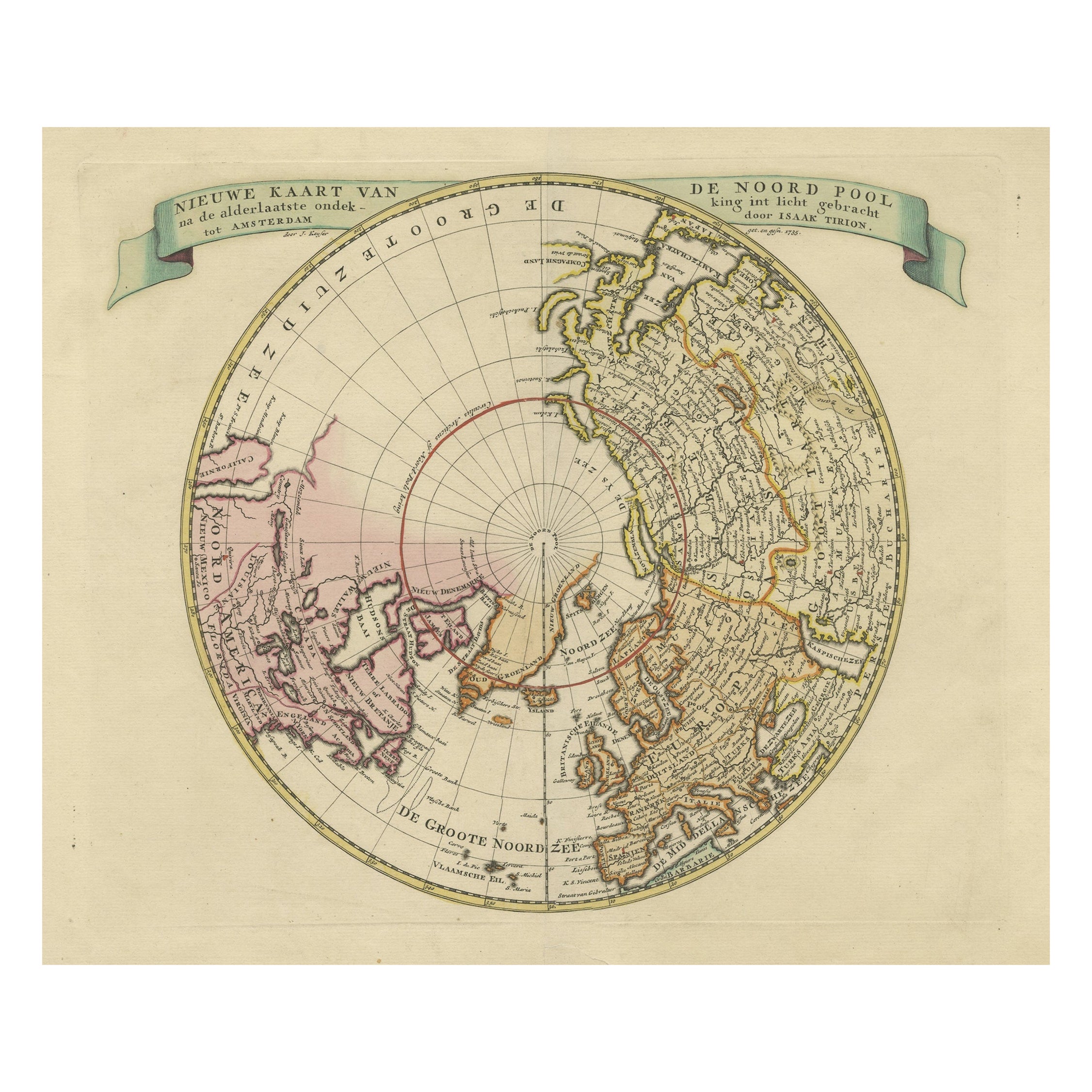
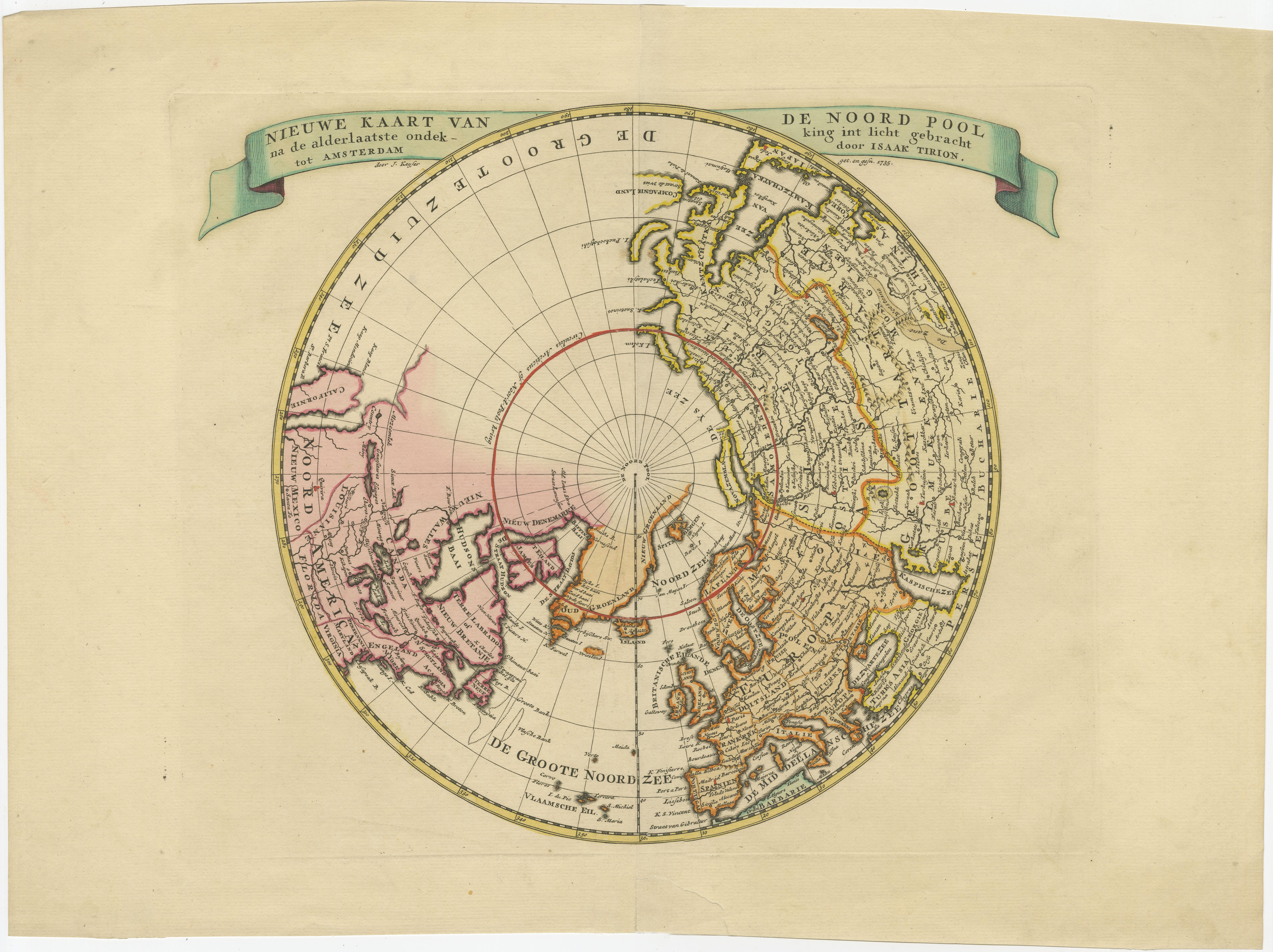
Greenland and California as an Island – Antique Northern Hemisphere Map, ca.1750

€ 720

One of a kind: this is the sheet in the photographs. Ships from Langweer, the Netherlands.

Date
1750
Mapmaker / artist
Isaak Tirion
Sheet size
35.5 × 48 cm (14.0 × 18.9 in)
Condition
Good
Reference
BG-13253

Condition

Repaired: repair on bottom (closed tear). Original/contemporary hand coloring. General age-related toning. Original folding line, with repair on bottom (closed tear). Blank verso. Please study images carefully.

About this sheet

Greenland and California as an Island – Antique Northern Hemisphere Map, ca.1750

Antique map titled 'Nieuwe Kaart van de Noord Pool na de alderlaatste ontdekking int licht gebracht tot Amsterdam door Isaak Tirion'. Beautiful map of the Northern Hemisphere and North Pole, which shows the NE Passage, but no definite NW Passage. California is shown as an Island, along with the River systems of North America. Nice detail in the Polar regions, especially New Denmark and Greenland and in Asia and Europe. Engraved by J. Keyser. Published by I. Tirion, circa 1750.

More from Northern Europe

Ask about this sheet

Greenland and California as an Island – Antique Northern Hemisphere Map, ca.1750
1750 · Ref. BG-13253 · € 720
We reply by email, usually within one working day.