About this sheet
Antique Map of Turkestan & Central Asia – Bellin, 1749
Description
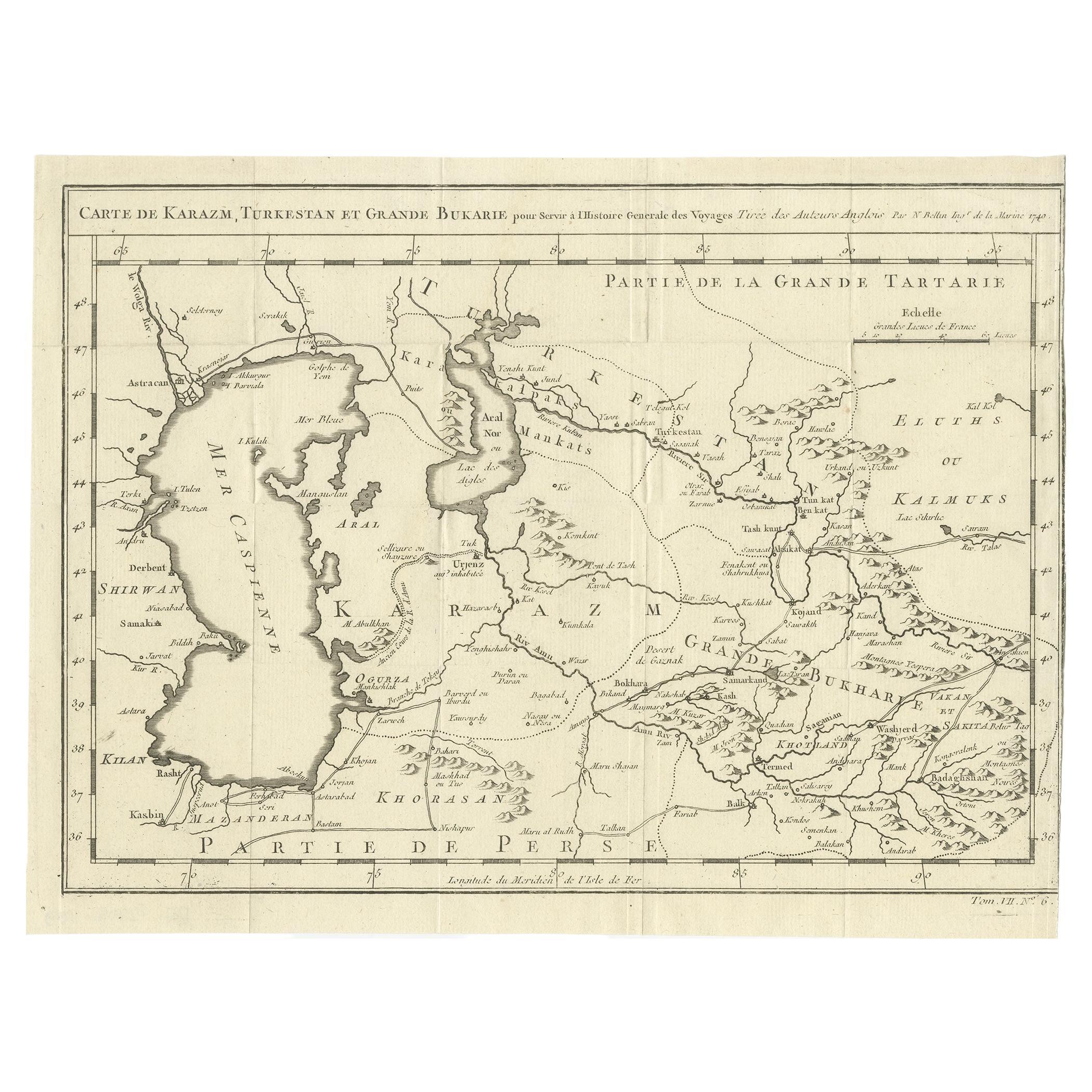
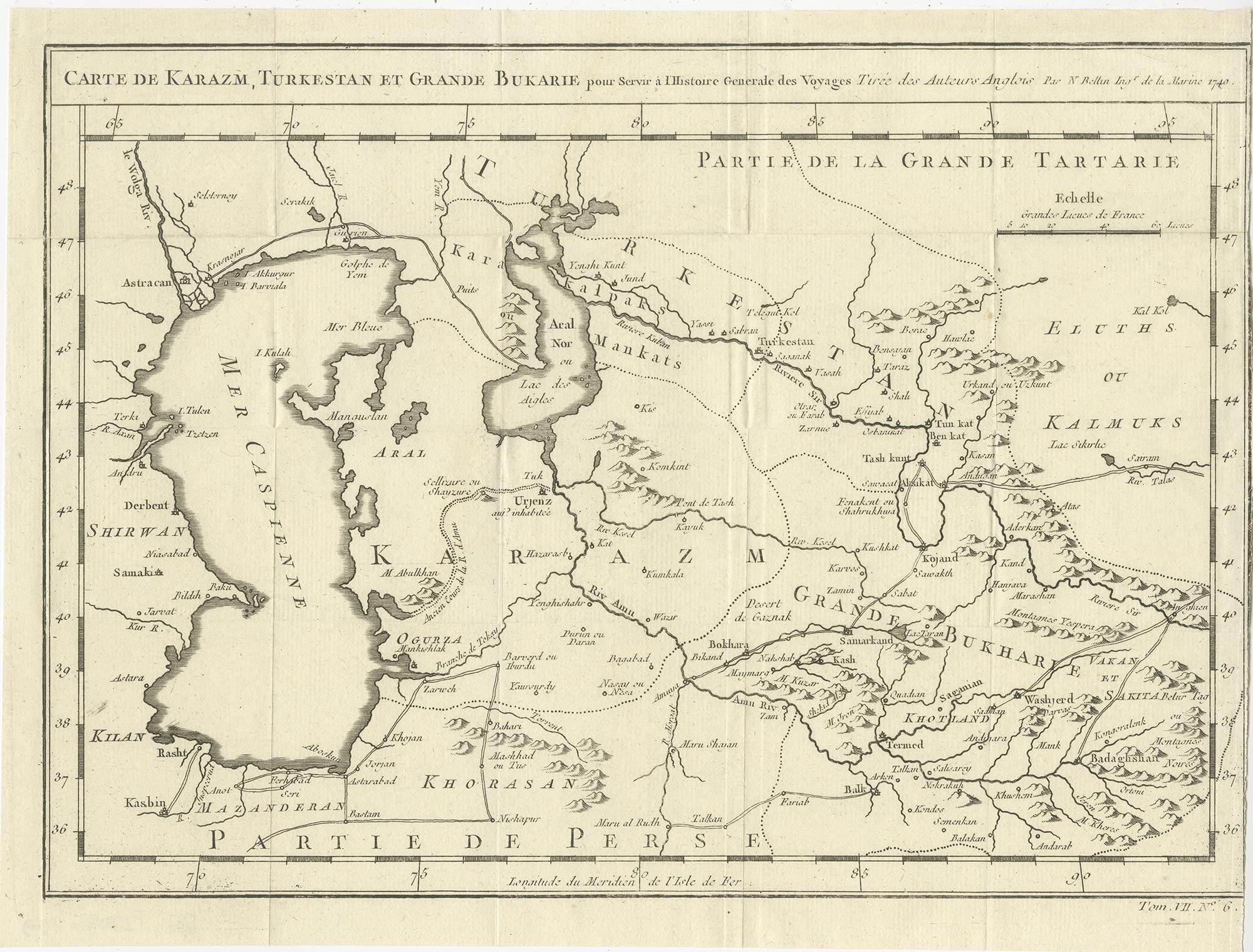
Antique engraved map titled “Carte de Karazm, Turkestan et Grande Bukarie,” centered on Turkestan and extending across a broad swath of Central Asia. The map encompasses the regions around the Caspian Sea and Aral Sea, with coverage including present-day Uzbekistan, Turkmenistan, Tajikistan, parts of Kazakhstan, and the northern reaches of Iran and Afghanistan. Major rivers, mountain ranges, deserts, and historical place names are carefully delineated, reflecting European geographic knowledge of Inner Asia in the mid-eighteenth century.
The Caspian Sea is prominently shown to the west, with surrounding regions of Persia and the Caucasian hinterlands indicated, while to the east the map extends into Great Bukhar(a) and adjoining territories of Tartary. Trade routes, regional boundaries, and settlement names evoke the strategic importance of this area as a crossroads between Europe, the Middle East, India, and China. The engraving displays Bellin’s characteristic clarity and balance, combining dense geographic information with a clean and readable layout.
This map was produced by Jacques-Nicolas Bellin, one of the most influential cartographers of the eighteenth century. Bellin served as Hydrographer to the French Navy and as the first Ingénieur de la Marine at the Dépôt des cartes et plans de la Marine. His work is renowned for its accuracy, scientific rigor, and restrained elegance, and his maps formed the cartographic foundation of many important Enlightenment-era publications.
Published in 1749, this sheet belongs to the great tradition of French geographic scholarship and reflects contemporary European efforts to systematize knowledge of Central Asia, a region that remained politically and culturally complex and only partially explored by Western travelers at the time.
A strong and historically important map for collectors of Central Asian cartography, Silk Road history, and eighteenth-century French engraving, as well as an impressive decorative piece for an interior with an intellectual or global focus.
Condition
Good original condition with light age-related toning and minor handling wear consistent with mid-eighteenth-century engraved maps. Central fold as issued. No later coloring or restoration observed.
Framing tips
This map presents very well in a dark walnut or ebonized frame with a wide ivory or soft off-white mat. The generous margins and fine engraving benefit from museum glass to preserve detail and paper tone.
Technique: Engraving
Maker: Jacques-Nicolas Bellin, France, 1749