Maps & PrintsBartele Gallery · Langweer
Home / Antique Maps / World Maps

World Maps · 18th century

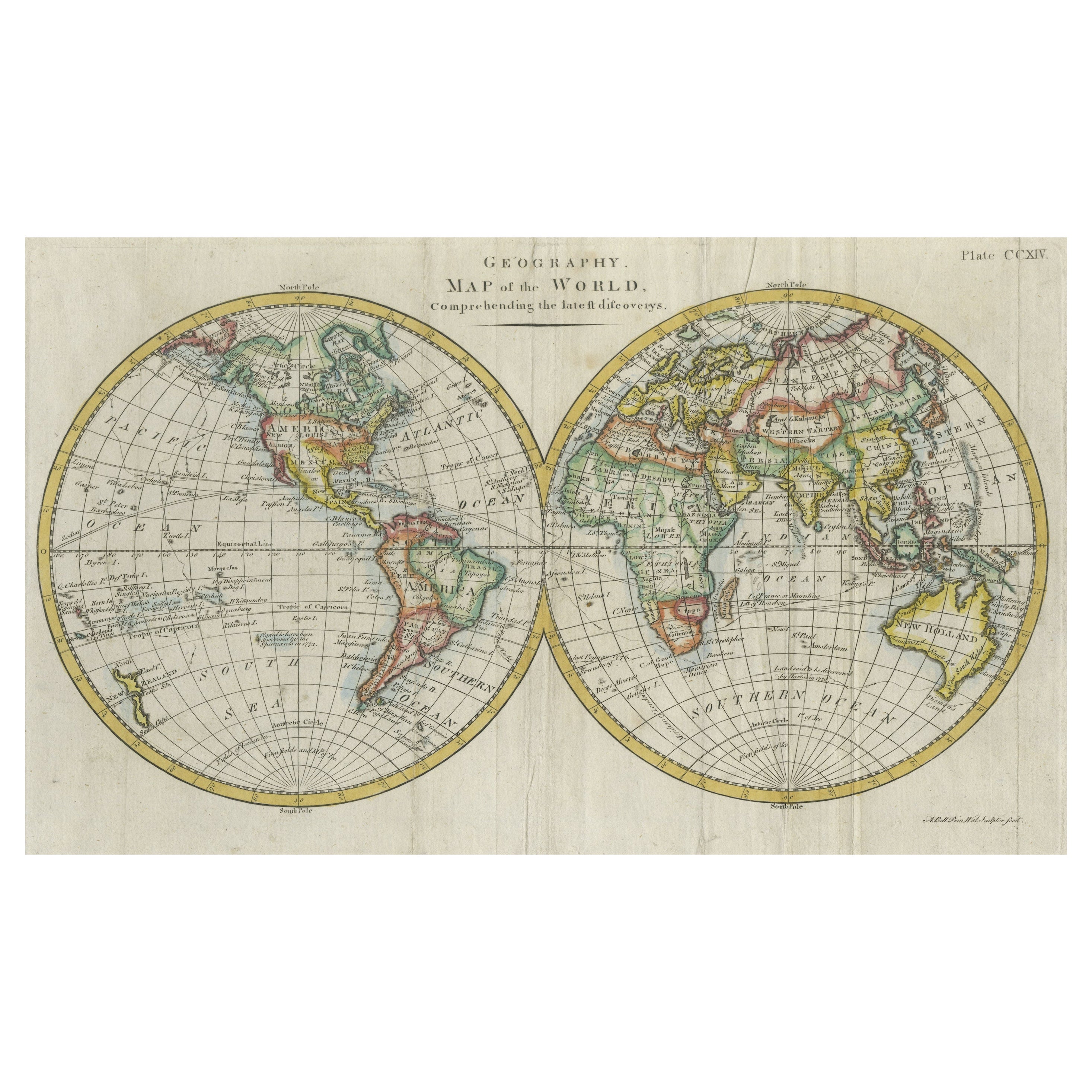
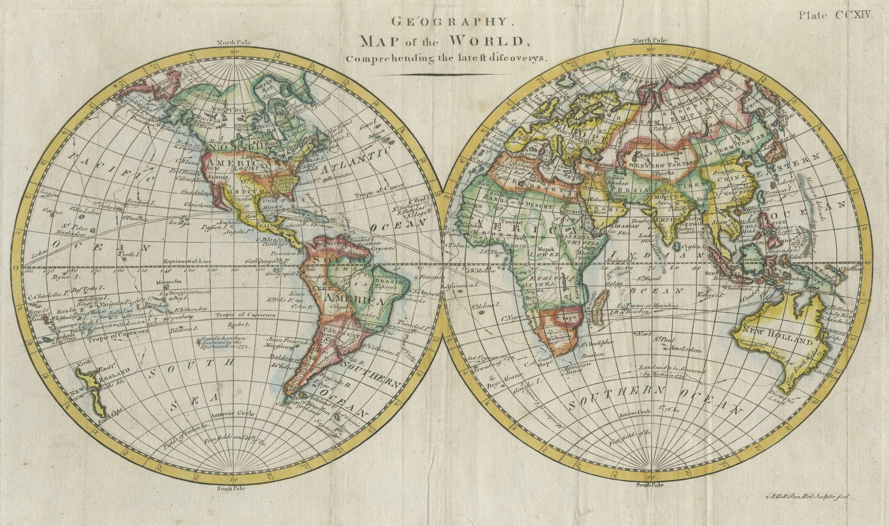
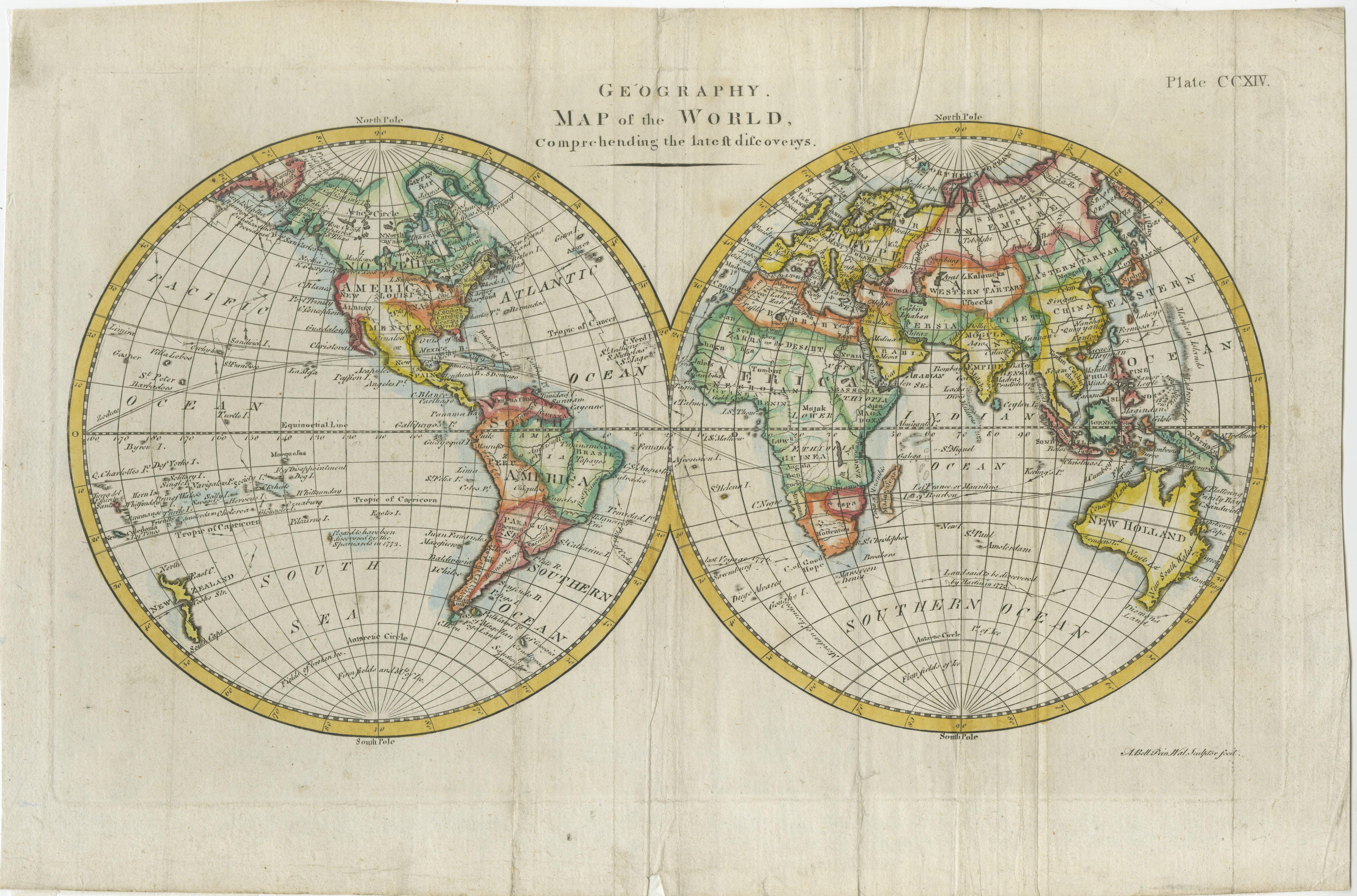
Interesting Original Antique Hemisphere Map Showing the Latest Discoveries, 1786

€ 1 100

One of a kind: this is the sheet in the photographs. Ships from Langweer, the Netherlands.

Date
1786
Sheet size
34 × 56 cm (13.4 × 22.0 in)
Condition
Good
Reference
BG-13234-7

Condition

Wear consistent with age and use. General age-related toning, some wear and soiling. Original folding lines, blank verso. Later hand coloring. Please study images carefully.
About this sheet

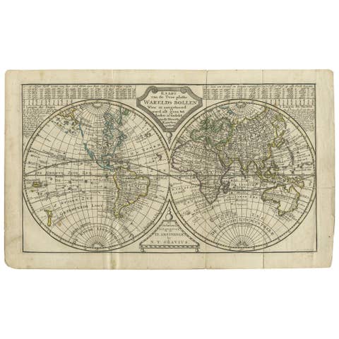
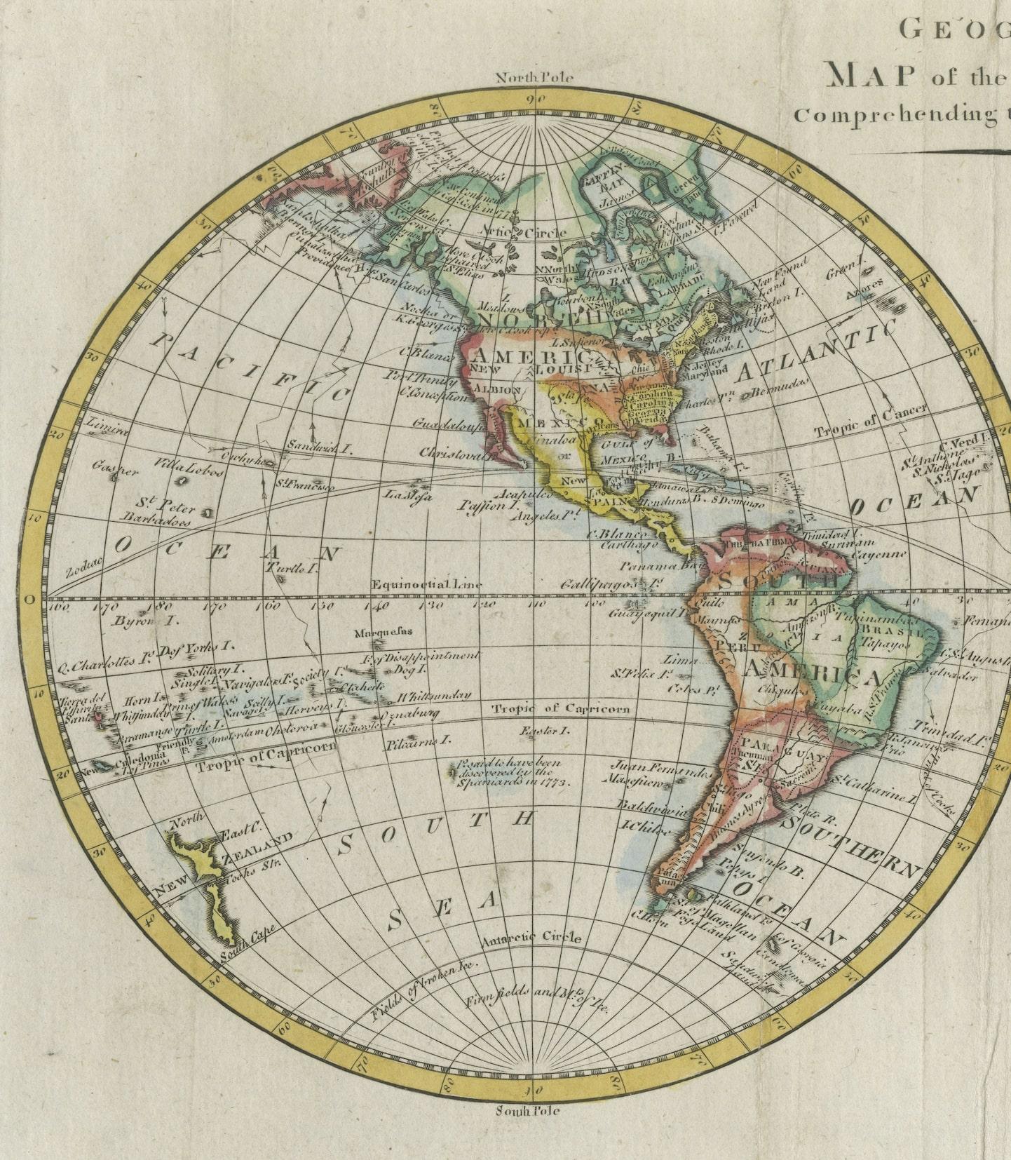
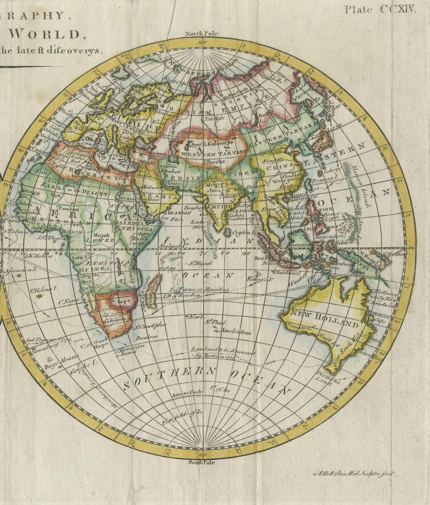
Antique world map titled 'A Map of the World from the best Authorities'. Detailed map of the World, showing tracks of Captain James Cook in his 3 voyages in great detail. The map is extensively annotated with information on the explorations of a number of regions on the map in the 1770s, primarily deriving from Cook. New Zealand is shown. Australia retains it's a mostly conjectural mid-18th Century Coastline. No sign of Antarctica. Fascinating transitional mapping of Alaska and NW America. Published by C. Dilly and G. Robinson circa 1786.

More from World Maps

Ask about this sheet

Interesting Original Antique Hemisphere Map Showing the Latest Discoveries, 1786
1786 · Ref. BG-13234-7 · € 1 100
We reply by email, usually within one working day.