Maps & PrintsBartele Gallery · Langweer
Home / Antique Maps / Celestial Maps

Celestial Maps · 18th century

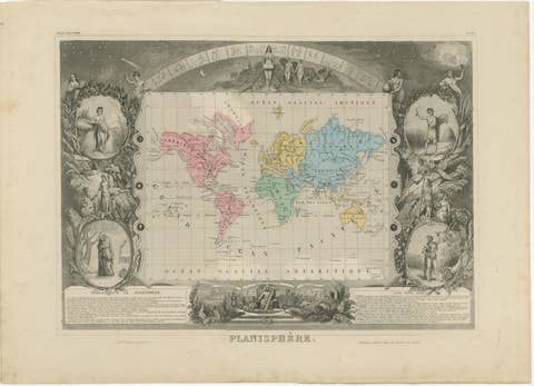
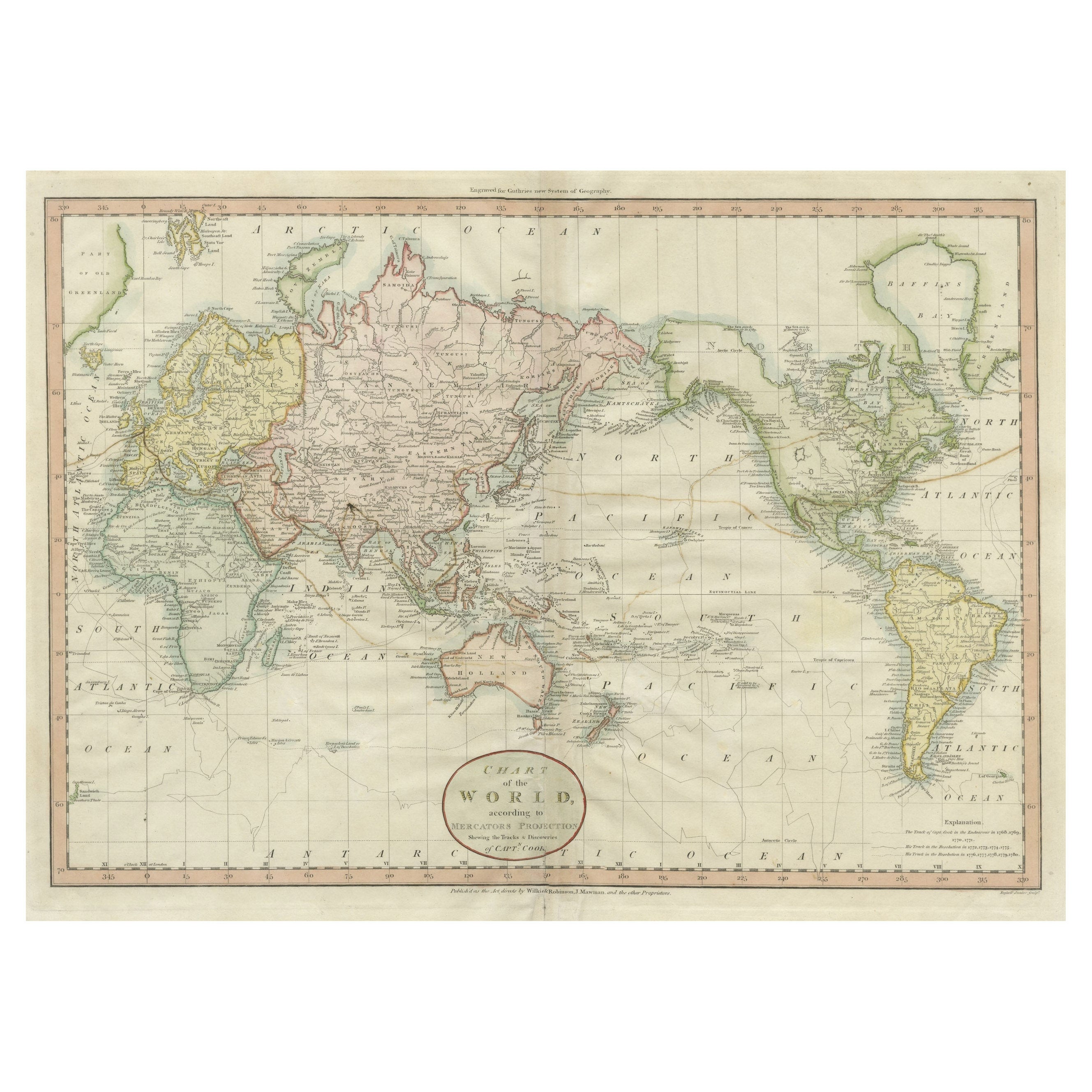
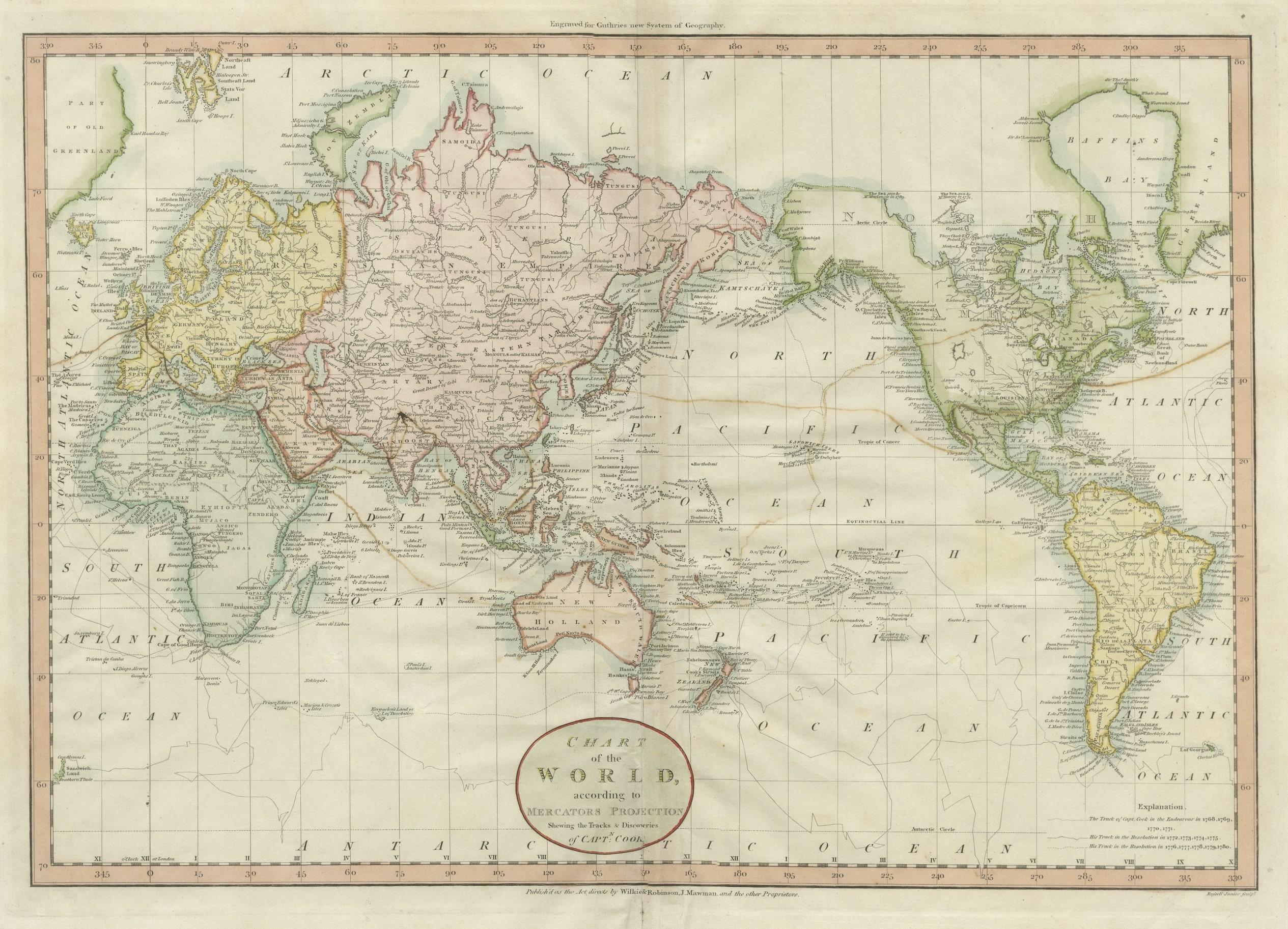
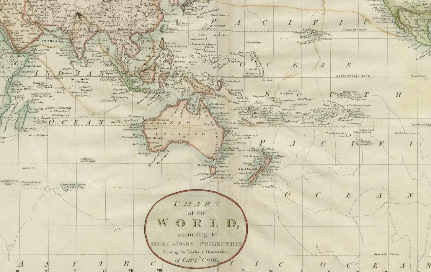
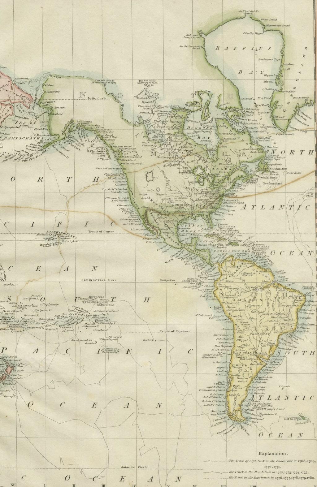
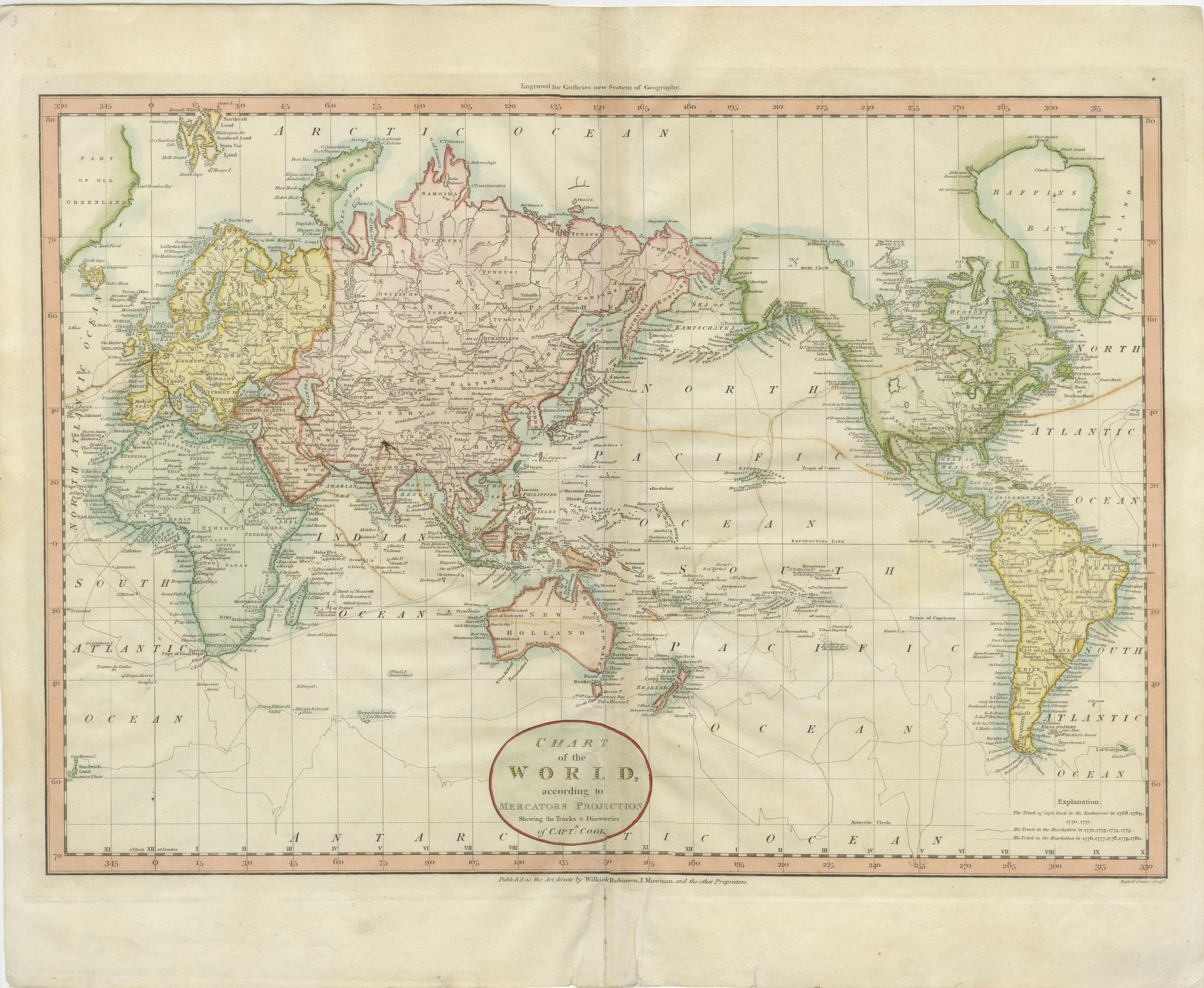
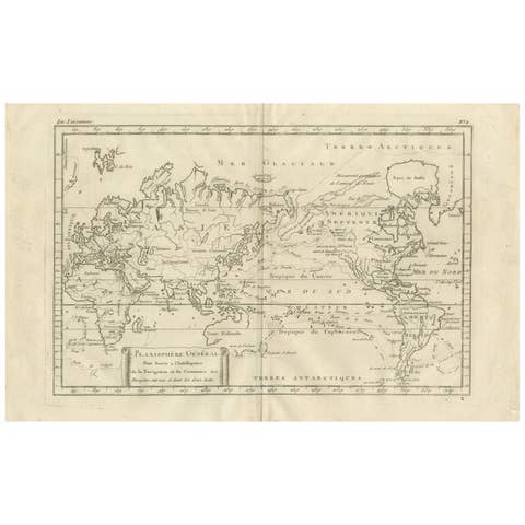
Attractive Antique Map of the World as Planisphere, Shows Cook's Voyages, 1799

€ 1 500

One of a kind: this is the sheet in the photographs. Ships from Langweer, the Netherlands.

Date
1799
Sheet size
41 × 51 cm (16.1 × 20.1 in)
Condition
Fair
Reference
BG-13234-5

Condition

Repaired: A closed tear on the bottom of the folding line. Two small closed tears in bottom margin, not affecting image. Wear consistent with age and use. General age-related toning, original folding line. Some wear and creasing. Small tear at the top of the folding line and a closed tear on the
About this sheet

Antique map titled 'Chart of the World, according to Mercators Projection'. This world map shows the various discoveries of Captain James Cook during his 3 voyages between 1768 and 1780, and the English and French Explorers who followed immediately thereafter, including Vancouver and La Perouse. This edition of the map is significantly revised from the editions issued immediately after the official report of Cook's Voyages were integrated into the map, showing better detail in New Zealand, Australia, the Northwest Coast of America and North East coast of Asia, along with Greenland. A new large lake also appears for the first time in the Western part of North America, shortly before the commencement of the Lewis & Clark expedition. Engraved for Guthrie's new system of geography. Published 1799.

More from Celestial Maps

Ask about this sheet

Attractive Antique Map of the World as Planisphere, Shows Cook's Voyages, 1799
1799 · Ref. BG-13234-5 · € 1 500
We reply by email, usually within one working day.