About this sheet
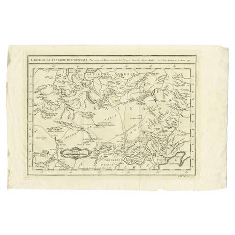
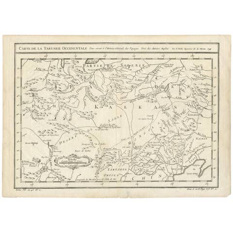
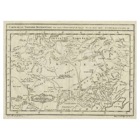
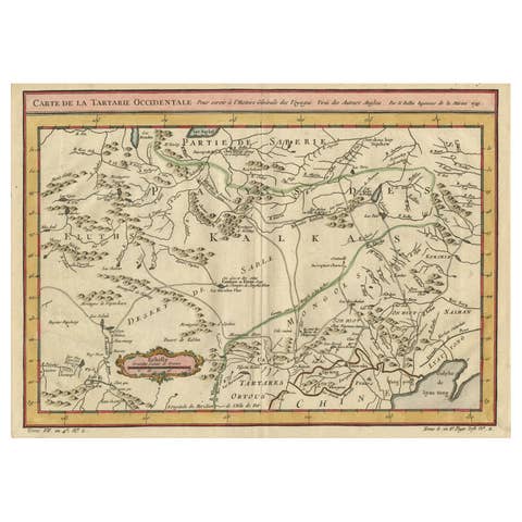
Antique Map of Manchuria & Eastern Tartary – Bellin, 1757
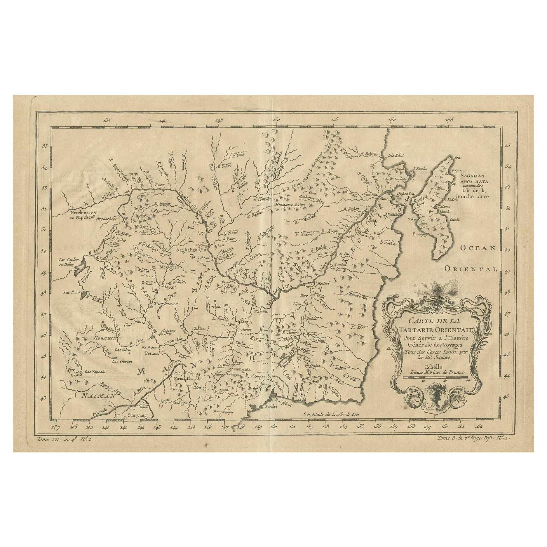
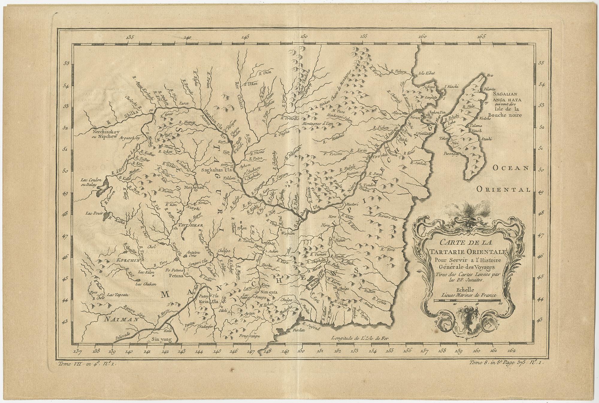
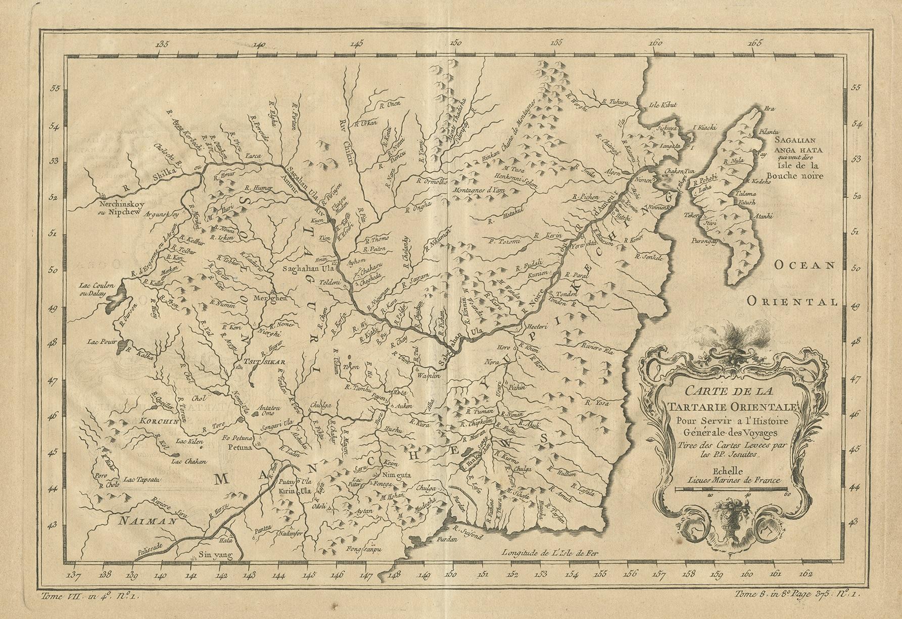
Antique engraved map titled “Carte de la Tartarie Orientale,” depicting Manchuria and the northeastern portion of Tartary in remarkable detail. The map covers the river systems, mountain ranges, and coastal regions of northeastern Asia, including areas along the Amur River basin and the Pacific coast, with references such as Sagallan Anga Hata and the Isle de la Bouche Noire. The Ocean Oriental (Pacific Ocean) is shown to the east, situating the region within its broader maritime context.
The geography is rendered with Bellin’s characteristic clarity, showing a dense network of rivers, tributaries, and mountain chains that reflect eighteenth-century European knowledge of this strategically important and still relatively little-known region. The map includes a finely engraved decorative title cartouche, adding visual refinement while underscoring its intended role within a major scholarly publication.
This map was produced by Jacques-Nicolas Bellin for L'Histoire Générale des Voyages, the influential travel compendium edited by Antoine François Prévost. Published circa 1757, the work aimed to compile the most authoritative geographic and ethnographic knowledge available, and Bellin’s maps formed its cartographic backbone.
Bellin was one of the most important mapmakers of the eighteenth century. Appointed Hydrographer to the French Navy at a remarkably young age, he later became the first Ingénieur de la Marine at the Dépôt des cartes et plans de la Marine and Official Hydrographer to the French King. His maps are valued for their precision, restrained elegance, and scientific approach, qualities that are clearly evident in this sheet.
A historically significant and visually appealing map, ideal for collectors of Asian cartography, early exploration, and eighteenth-century French engraving, as well as for interior settings seeking a refined and intellectual focal piece.
Condition
Good original condition with light age-related toning and minor handling wear consistent with mid-eighteenth-century engraved maps. Central fold as issued. No later coloring or restoration observed.
Framing tips
This map frames beautifully in a dark walnut or ebonized frame with a wide ivory or soft off-white mat. The decorative cartouche benefits from generous spacing, and museum glass is recommended to preserve the fine engraved detail.
Technique: Engraving
Maker: Jacques-Nicolas Bellin, France, circa 1757