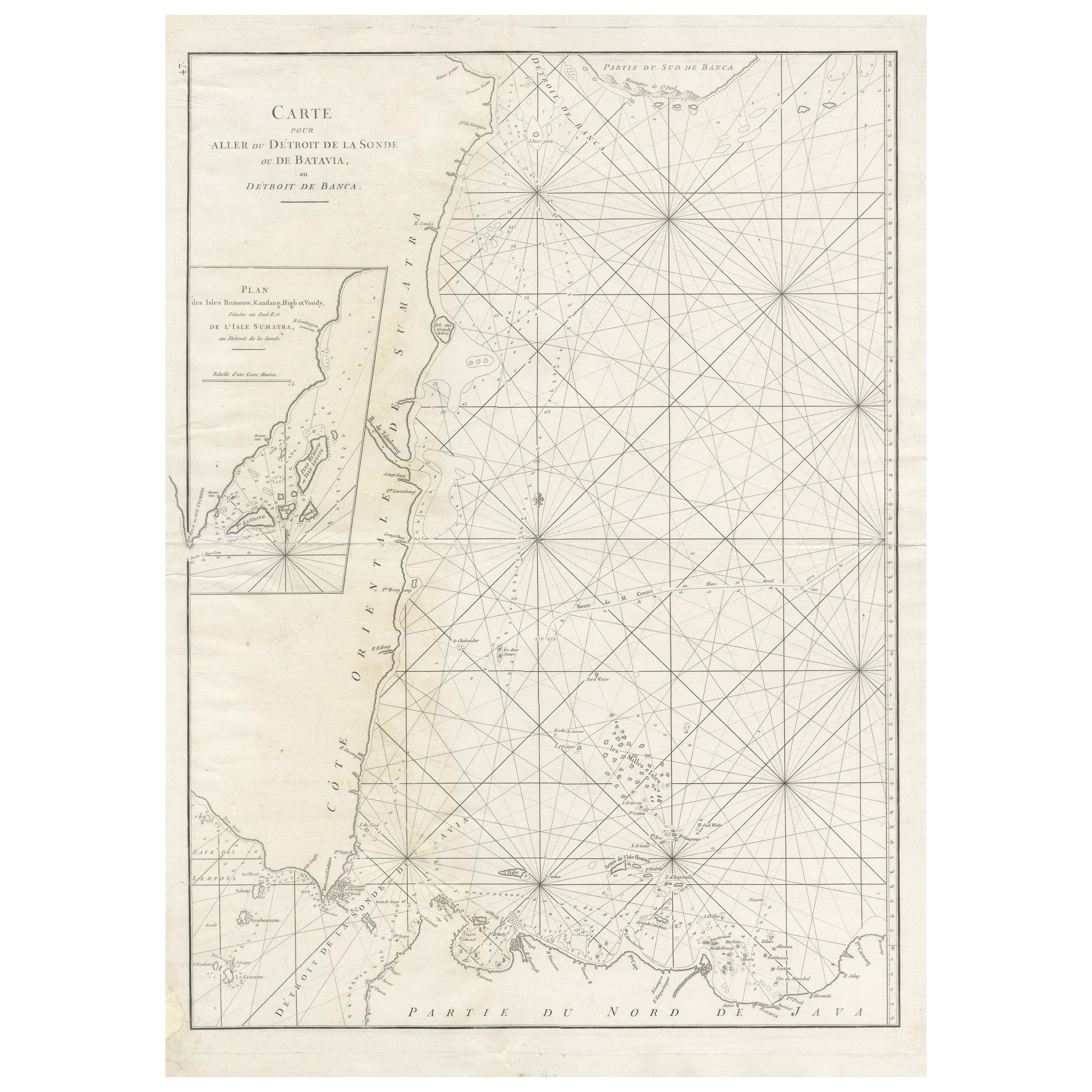

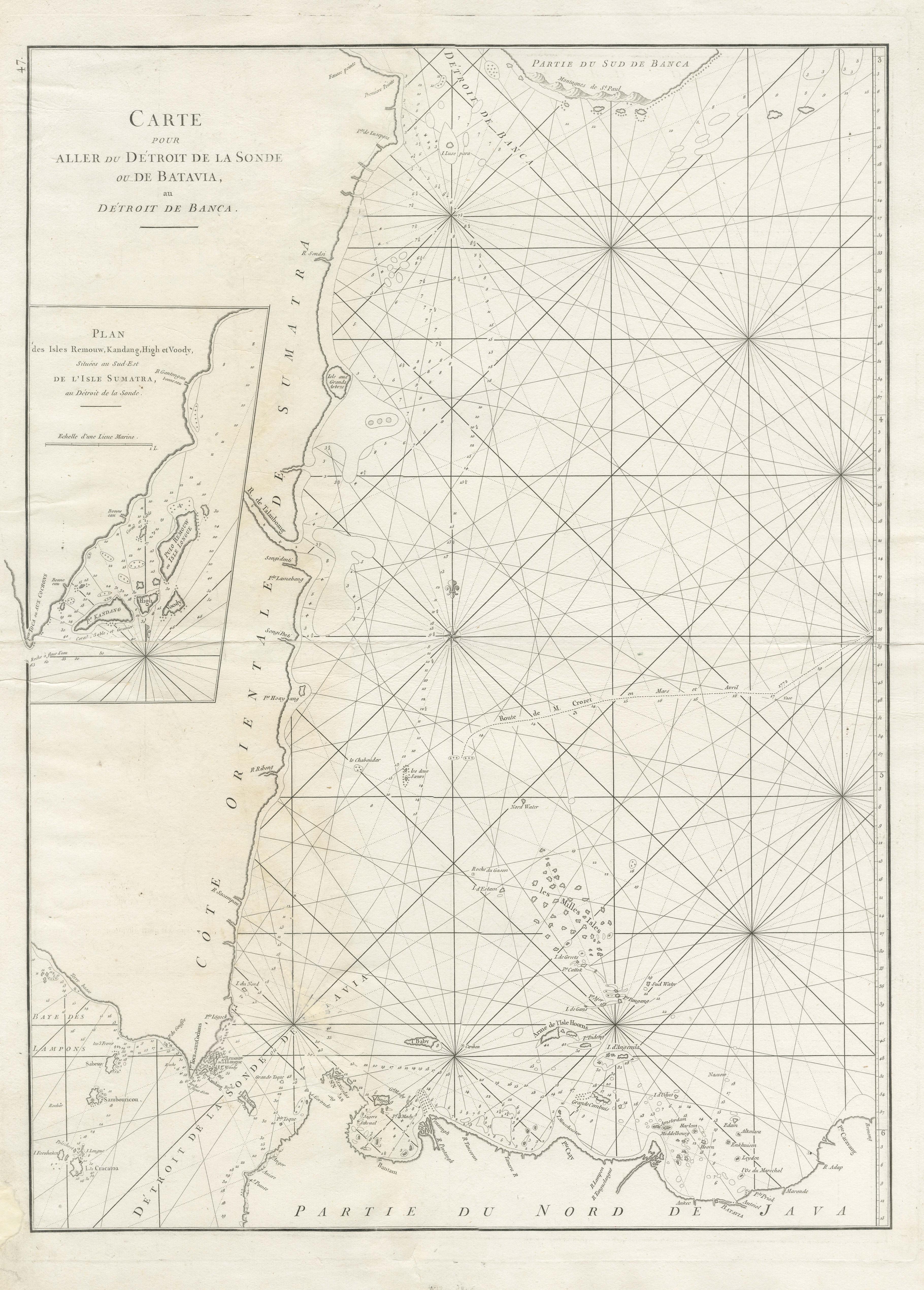
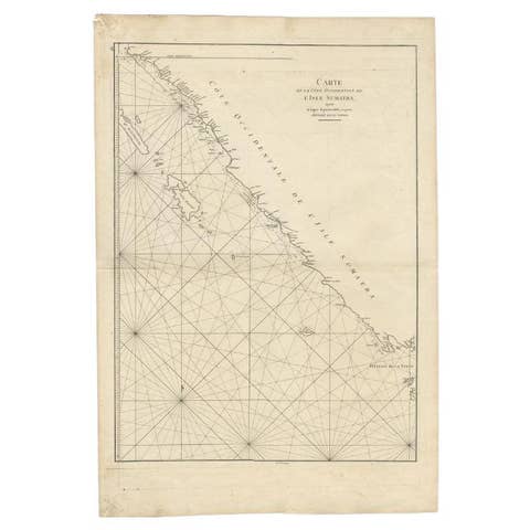
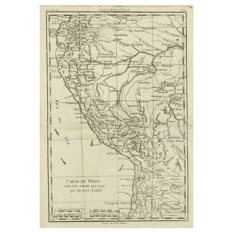
Antique Sea Chart by J. B. d'Apres de Mannevillette, Sumatra, 1780
€ 470
One of a kind: this is the sheet in the photographs. Ships from Langweer, the Netherlands.
Date
1780
Sheet size
76.7 × 53 cm (30.2 × 20.9 in)
Condition
Fair
Reference
BG-13369-1
Condition
Repaired: Professionally restored in several places (mainly on the coast line) and restoration on the folding line. Wear consistent with age and use. General age-related toning. Shows some wear and soiling. Blank verso. Please study images carefully.
About this sheet
Antique map titled 'Carte pour aller du Détroit de la Sonde ou de Batavia, au Détroit de Banca'. This uncommon sea chart shows northern Java and eastern Sumatra along with an inset of the small islands in the Detroit Sound. The handsome chart provides detailed navigational information, including the route of Julien Crozet in April 1772, who led a French expedition to the South Pacific after the voyage's commander, Marion De Fresne, and 26 crew members were killed (and allegedly eaten) by a Maori tribe in the Bay of Islands off the coast of New Zealand. With title upper left corner and small inset map of the small isles nearby the south-eastern coast of Sumatra.
J. B. d'Apres de Mannevillette, from his atlas "Neptune orientale". French sailor and hydrographer, D' Après de Mannevillette (1707-1780) used new instruments to correct the latitudes measured by previous explorers. His atlas Le Neptune Oriental, first published in 1745, was considered a major achievement and an indispensable resource for navigators.