Maps & PrintsBartele Gallery · Langweer
Home / Antique Maps / Europe / Northern Europe

Northern Europe · 18th century

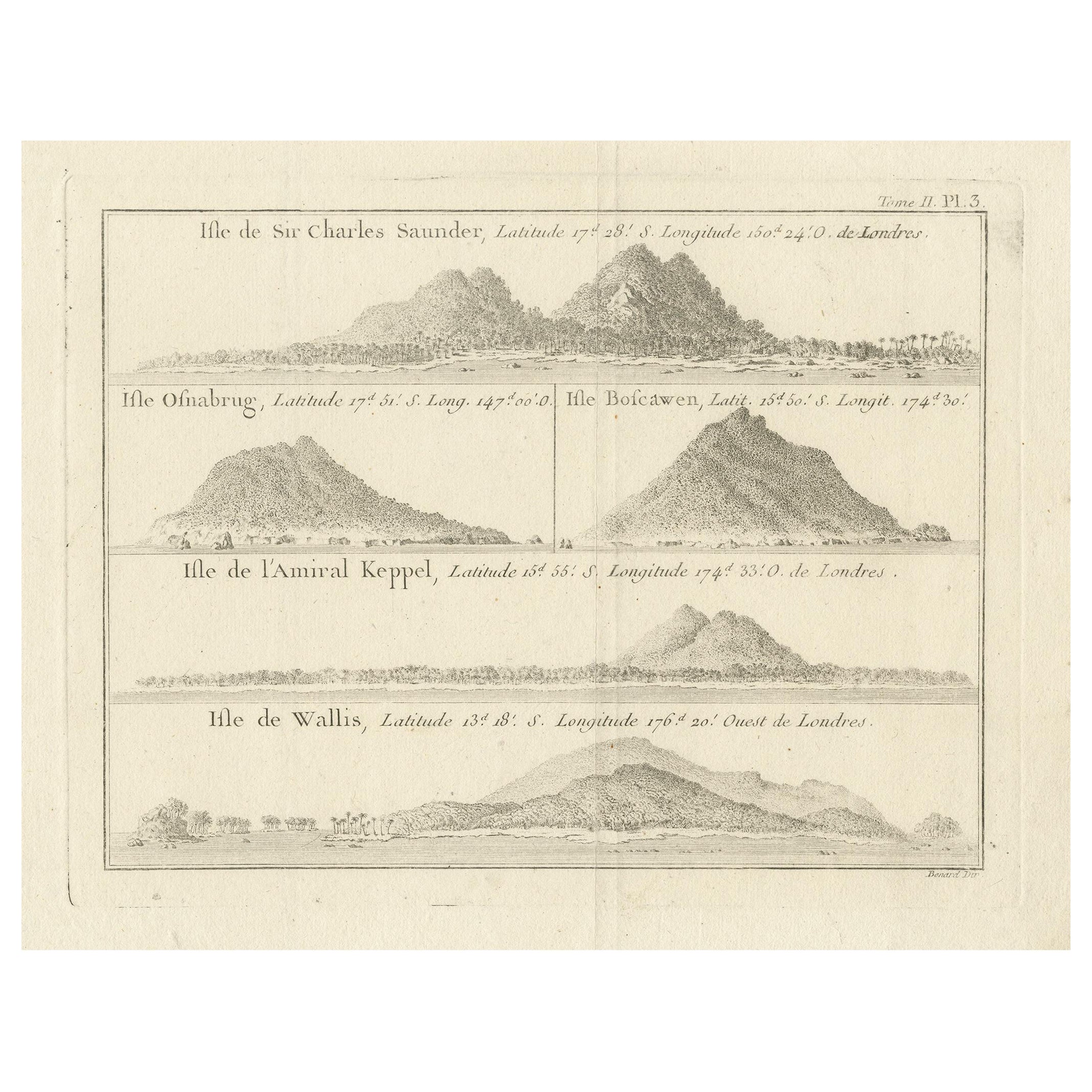
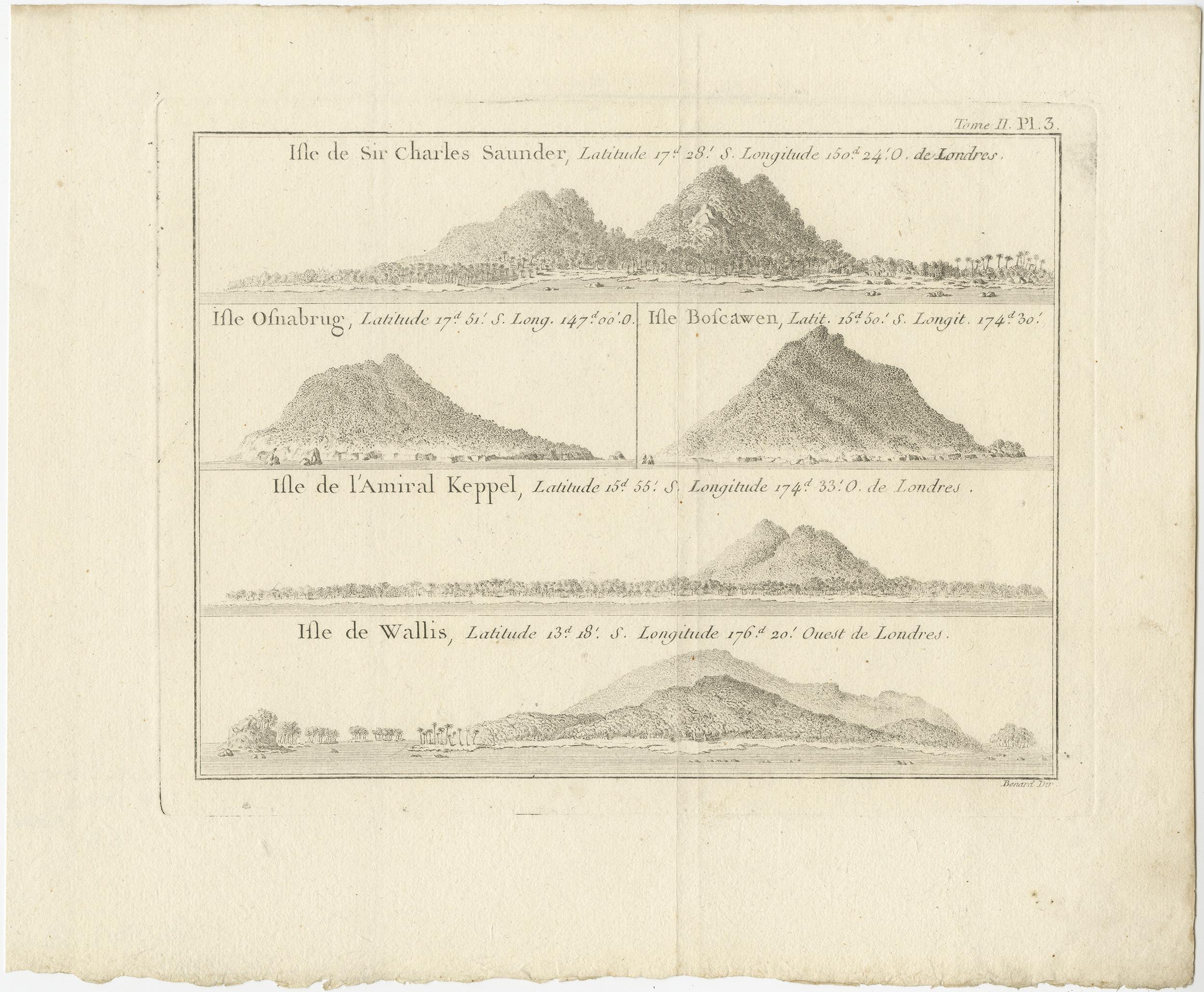
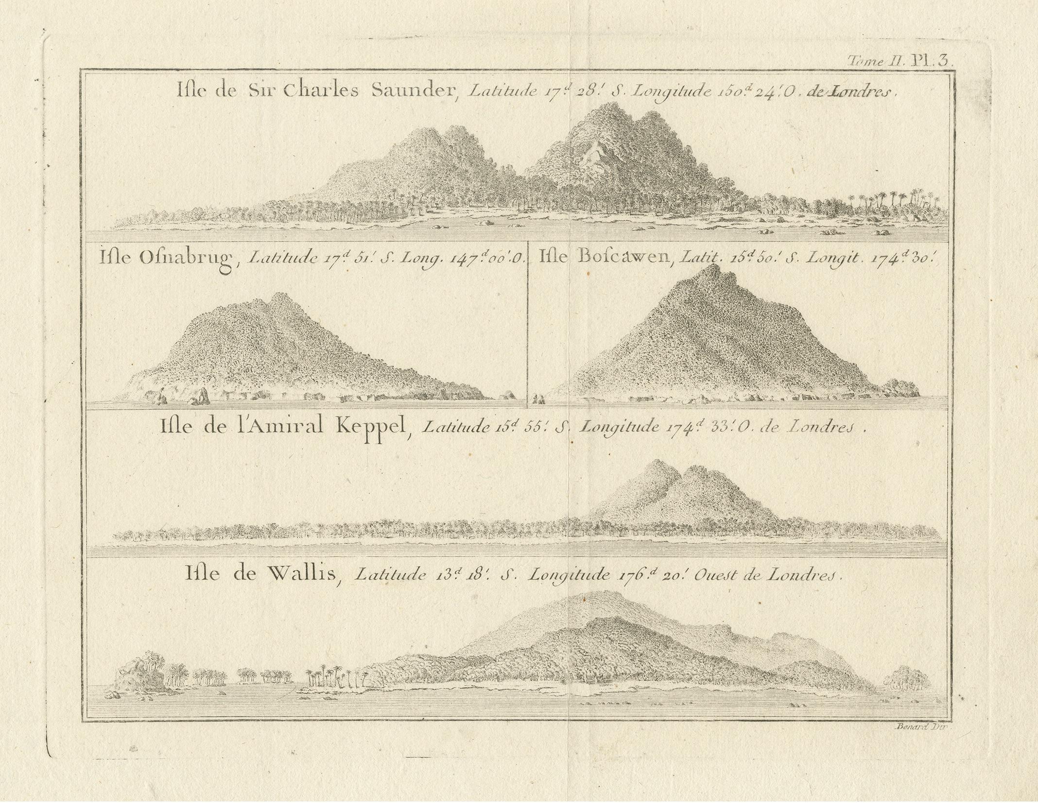
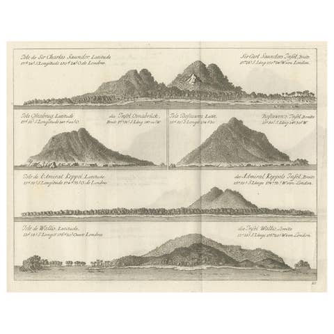
Antique Print with Views of Sir Charles Saunders Island and Other Islands, 1774

€ 320

One of a kind: this is the sheet in the photographs. Ships from Langweer, the Netherlands.

Date
1774
Sheet size
27.3 × 33.3 cm (10.7 × 13.1 in)
Condition
Good
Reference
BG-12707-99

Condition

General age-related toning. Minor wear and soiling, blank verso. Please study image carefully.
About this sheet

Explore the captivating world of the 18th century with this exquisite antique print titled 'Isles de Sir Charles Saunder Latitude (...)'. I A journey through time as you delve into the coastal views of Sir Charles Saunders Island, Osnaburg Island (now known as Mehetia in French Polynesia), Boscawens Island (modern-day Tafahi in Tonga), Admiral Keppel's Island (Niuatoputapu), and Wallis Island (Uvea).

This remarkable map is a precious relic from the French edition of 'An Account of the Voyages Undertaken by the Order of His Present Majesty for Making Discoveries in the Southern Hemisphere' by John Hawkesworth, dating back to approximately 1774. A window into the age of exploration and discovery, this antique map invites you to relive the adventures of early explorers and marvel at the uncharted territories of the past.

More from Northern Europe

Ask about this sheet

Antique Print with Views of Sir Charles Saunders Island and Other Islands, 1774
1774 · Ref. BG-12707-99 · € 320
We reply by email, usually within one working day.