About this sheet
Antique Pacific Map of New Ireland with Coastal Profiles – Cook Voyages, 1774
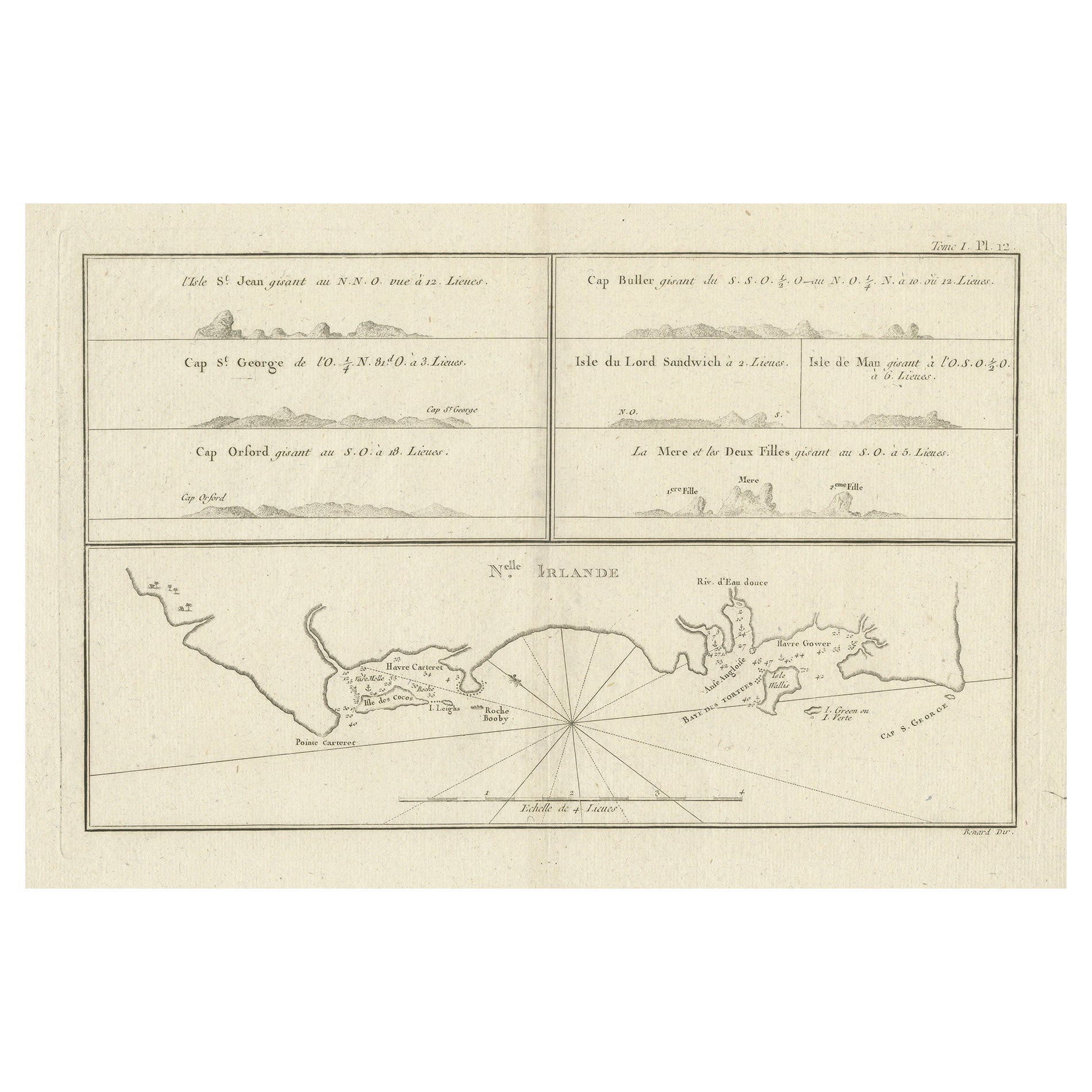
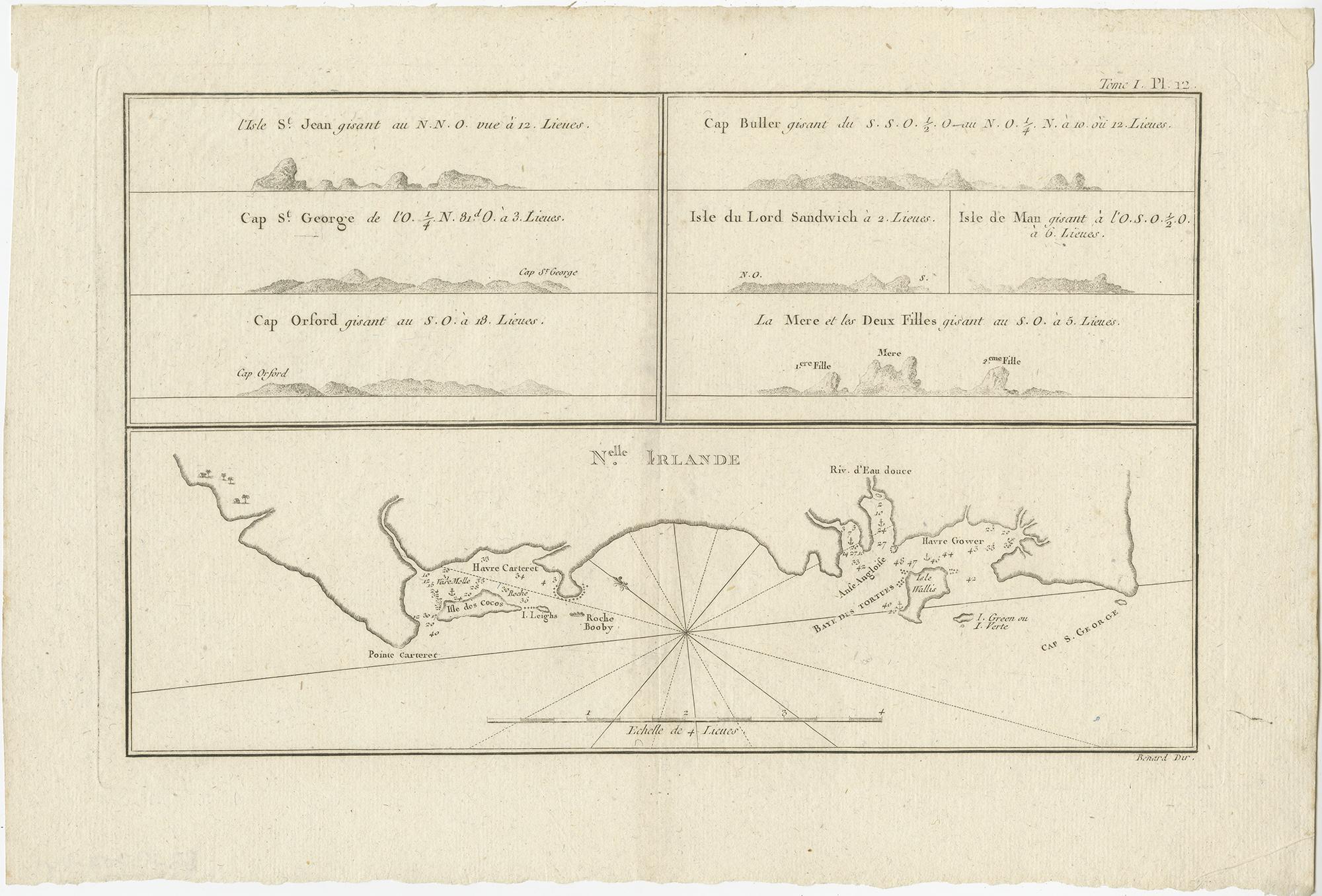
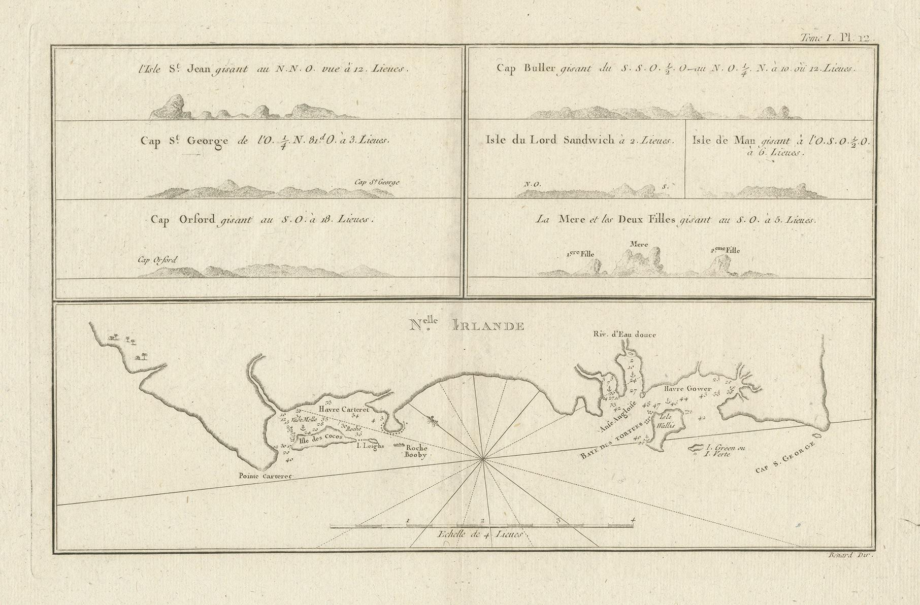
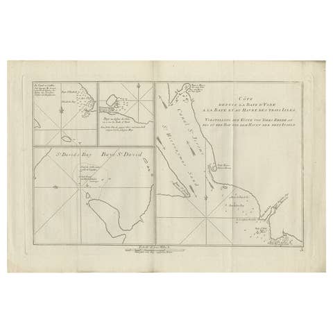
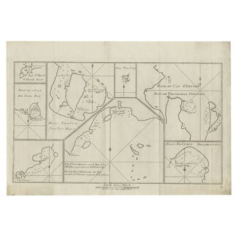
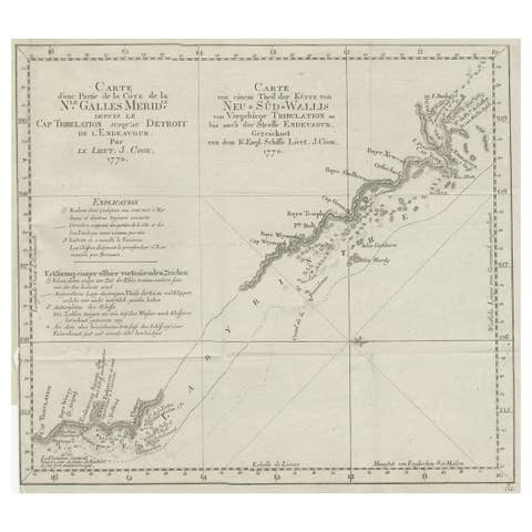
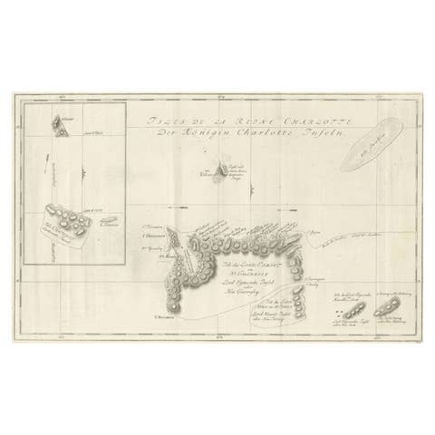
Antique engraved map depicting New Ireland, a large island in the Bismarck Archipelago of the South Pacific, accompanied by seven coastal profile views recorded during eighteenth-century exploration voyages. The main chart outlines the coastline with bays, anchorages, and soundings, while the upper register presents profile views used by navigators to recognize landfalls from offshore.
Historically known as Nova Hibernia, New Ireland lies immediately north of New Britain and is separated from it by St. George’s Channel. In the mid-eighteenth century, the island was initially believed to form part of a continuous landmass connecting New Guinea and New Britain. This assumption was definitively disproved in 1767, when the channel was navigated and charted, confirming New Ireland as a separate island.
The coastal profiles shown on this sheet depict prominent capes and islands encountered during Pacific navigation. Such profile views were an essential navigational aid in the age of sail, allowing mariners to identify coastlines visually before the development of modern hydrographic surveying.
This map was published in 1774 as part of John Hawkesworth’s atlas accompanying a French edition of the accounts of Captain James Cook’s voyages to the Southern Hemisphere. Hawkesworth’s publications were instrumental in disseminating the discoveries of Cook and his contemporaries and remain among the most important printed records of early Pacific exploration.
Despite its historical name, New Ireland refers exclusively to the Pacific island also known as Nova Hibernia and bears no relation to Ireland in Europe. The map is firmly rooted in the context of South Pacific exploration and eighteenth-century maritime cartography.
A highly desirable Cook-era Pacific map combining detailed coastal charting with navigational profile views, appealing to collectors of exploration, nautical history, and early engraved maps.
Condition
Good original condition with light age-related toning and minor handling wear consistent with eighteenth-century engraved maps. No later coloring or restoration observed.
Framing tips
This map frames well in a dark walnut or ebonized frame with a wide ivory or off-white mat, allowing the coastal profiles to remain visually balanced and clearly legible. Museum glass is recommended to protect the fine engraved detail.
Technique: Engraving
Maker: Published by John Hawkesworth, London, 1774