Maps & PrintsBartele Gallery · Langweer
Home / Antique Maps / Europe / Western Europe / France

France · 18th century

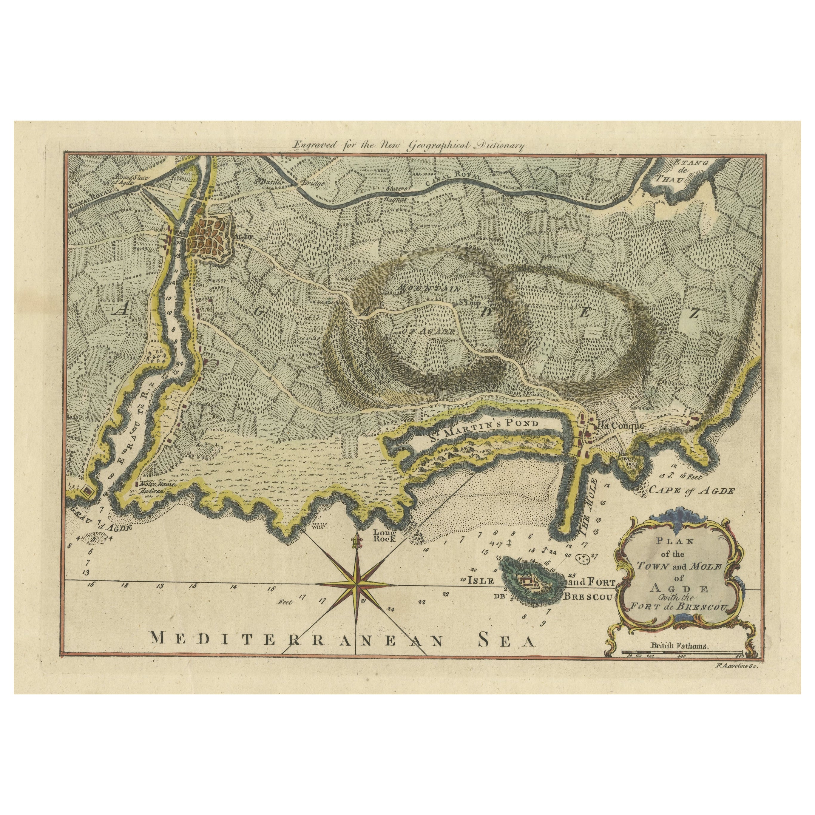
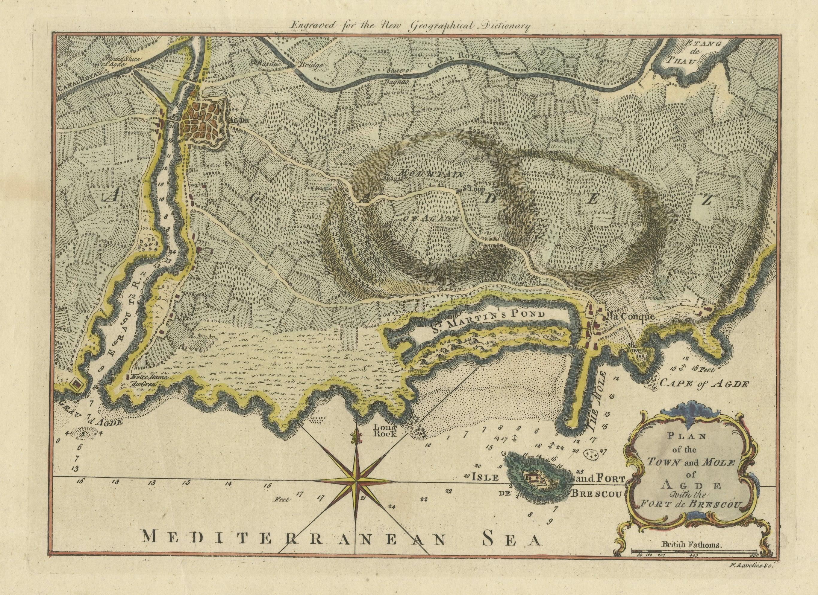
Antique Map Plan of Town and Mole of CAP D'agde & Fort De Brescou, France, 1759

€ 490

One of a kind: this is the sheet in the photographs. Ships from Langweer, the Netherlands.

Date
1759
Sheet size
23.5 × 35 cm (9.3 × 13.8 in)
Condition
Good
Reference
BG-13216-70

Condition

Wear consistent with age and use. General age-related toning, some soiling. Shows some creasing, slightly affecting image. Later hand coloring, blank verso. Please study images carefully.
About this sheet

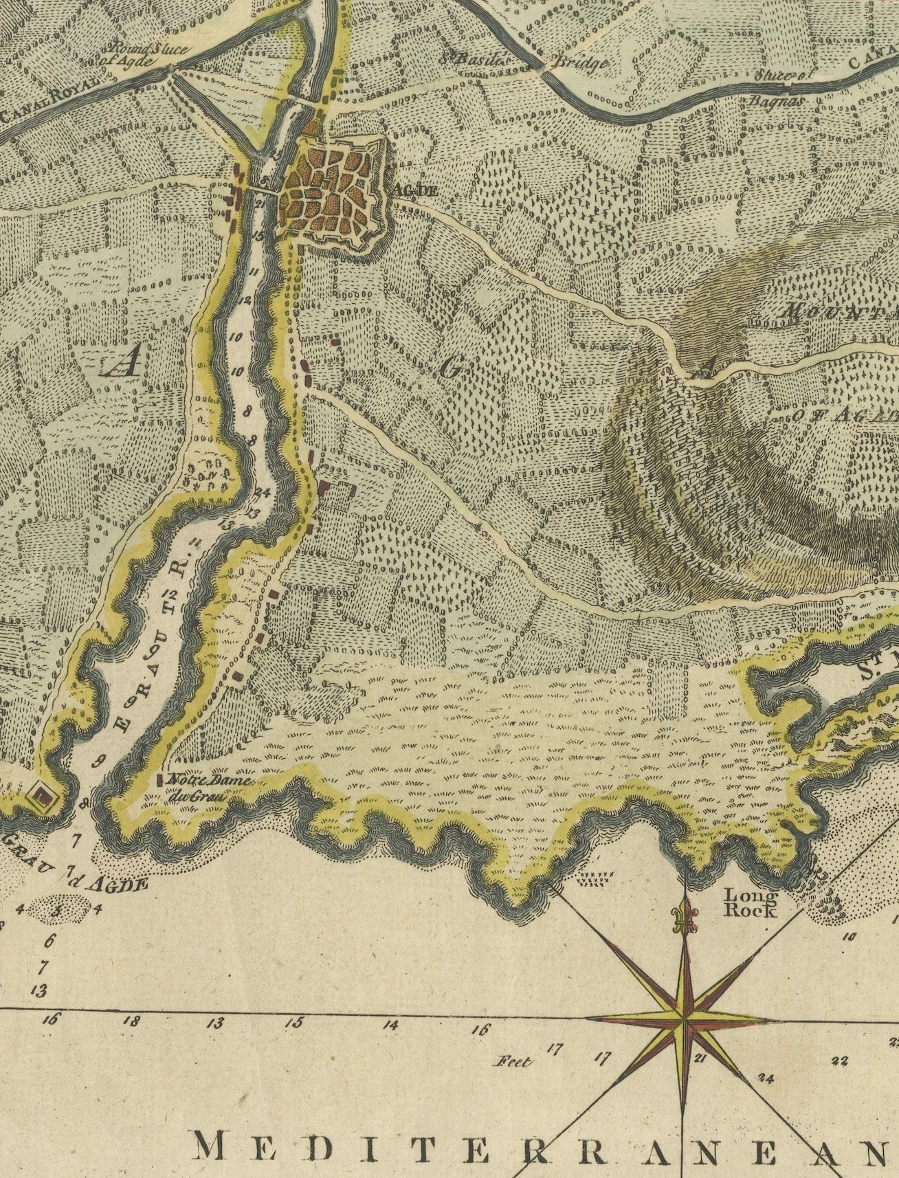
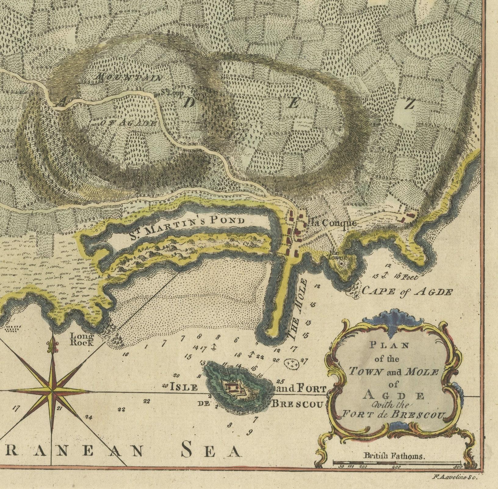
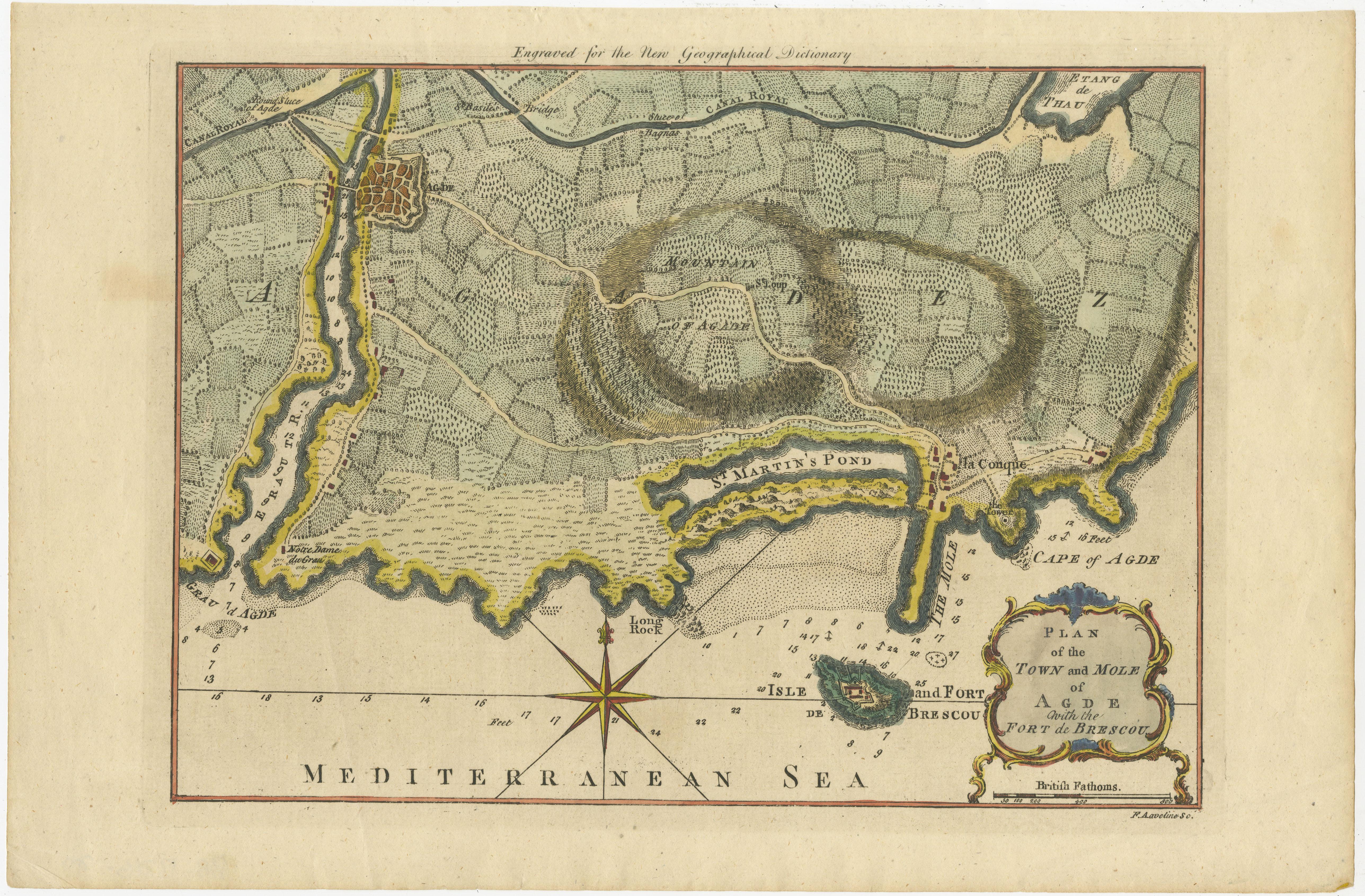
Antique Plan titled 'Plan of the Town and Mole of Agde with the Fort de Brescou'. Antique town plan of Agde, engraved for the Geographical Dictionary, by Rollos, 1759. It also shows the Fort of Brescou. The fort was built in the late sixteenth century by the Vicomte de Joyeuse to prevent the Spaniards use it as support in case of invasion attempt in times of religious wars. Fort Brescou is located on the small eponymous island just under a kilometer off the entrance to the Port Richelieu, Cap Agde in Herault.

More from France

Ask about this sheet

Antique Map Plan of Town and Mole of CAP D'agde & Fort De Brescou, France, 1759
1759 · Ref. BG-13216-70 · € 490
We reply by email, usually within one working day.