
United Kingdom & Ireland · 18th century
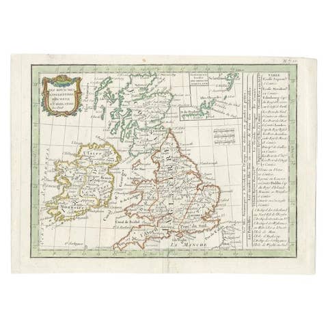
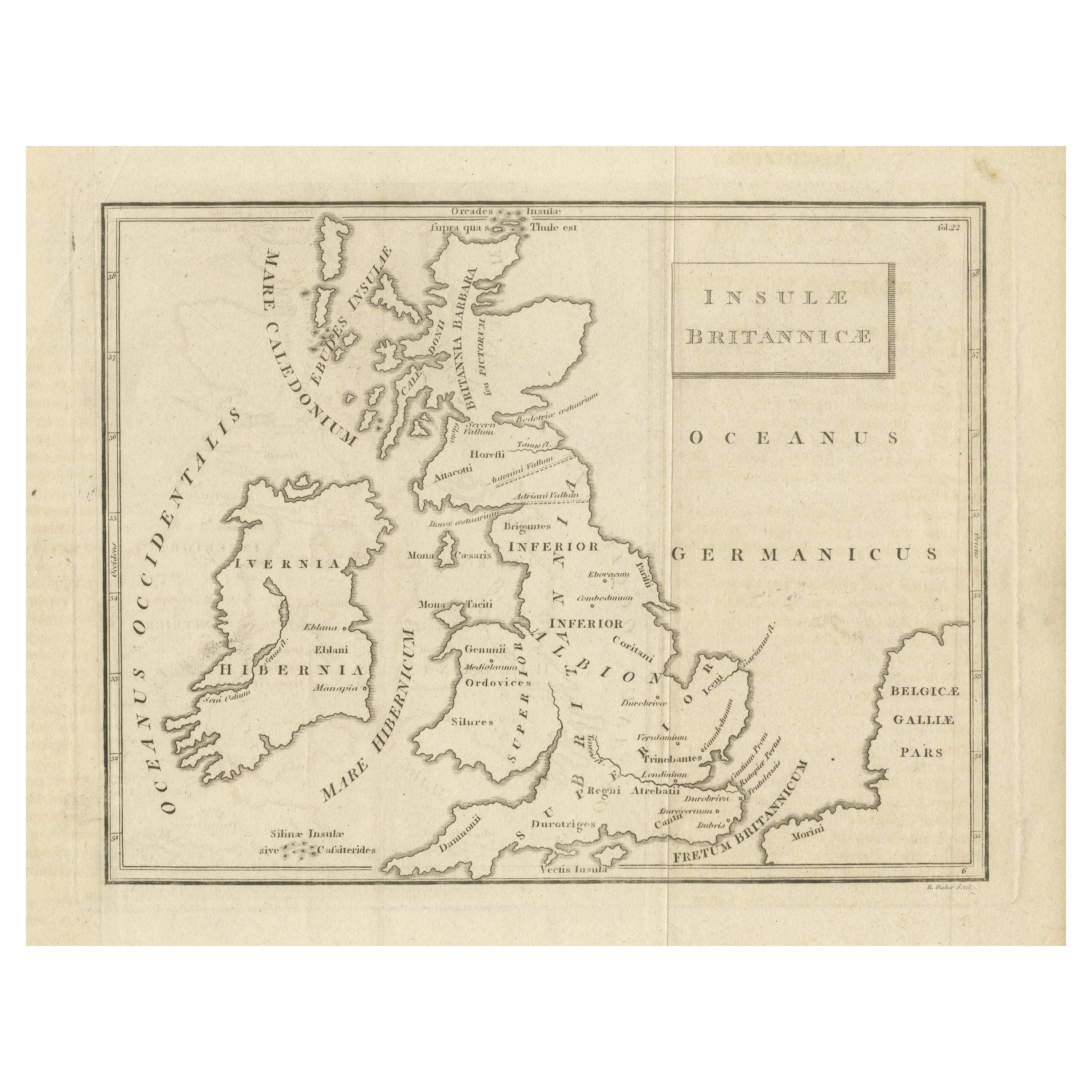
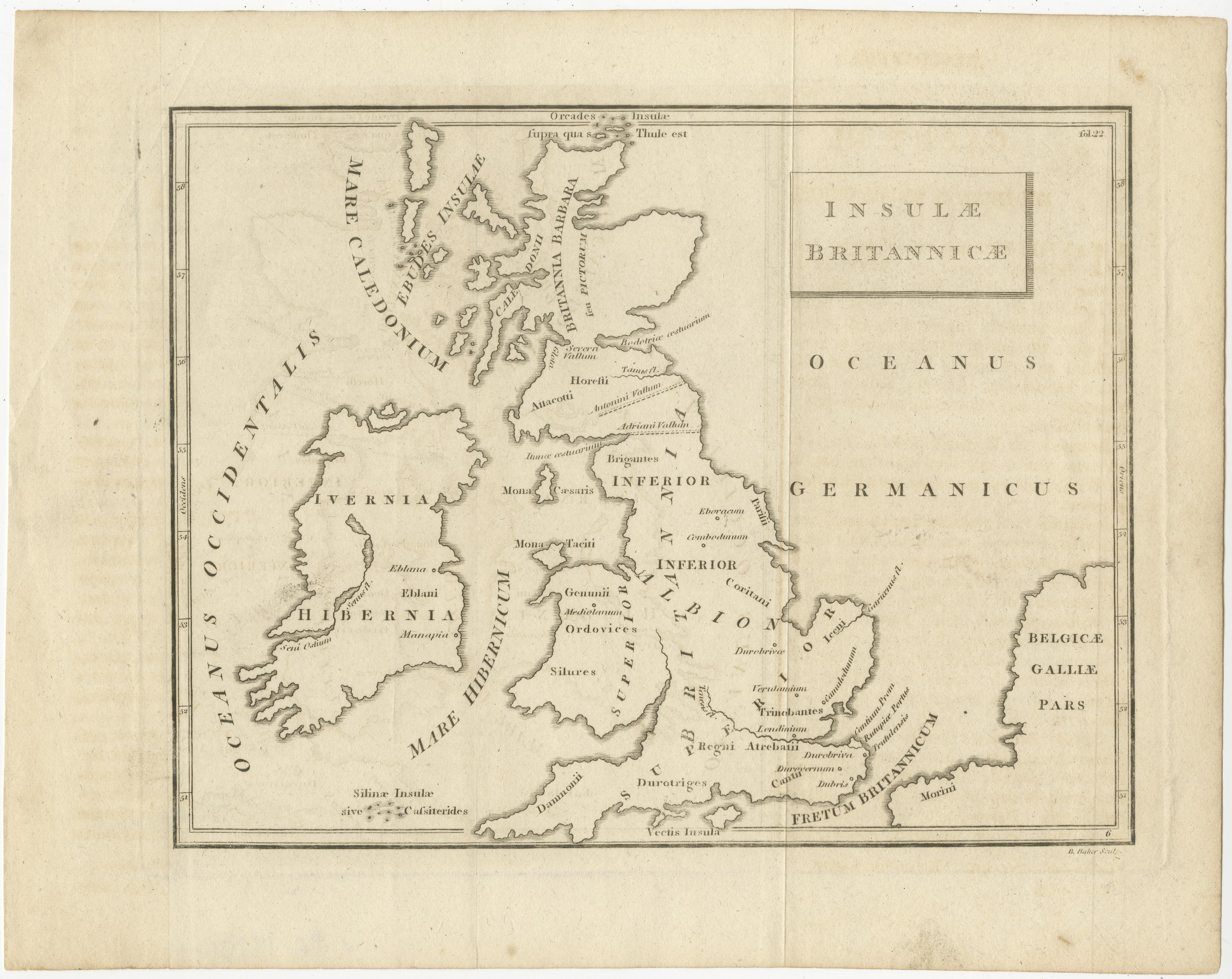
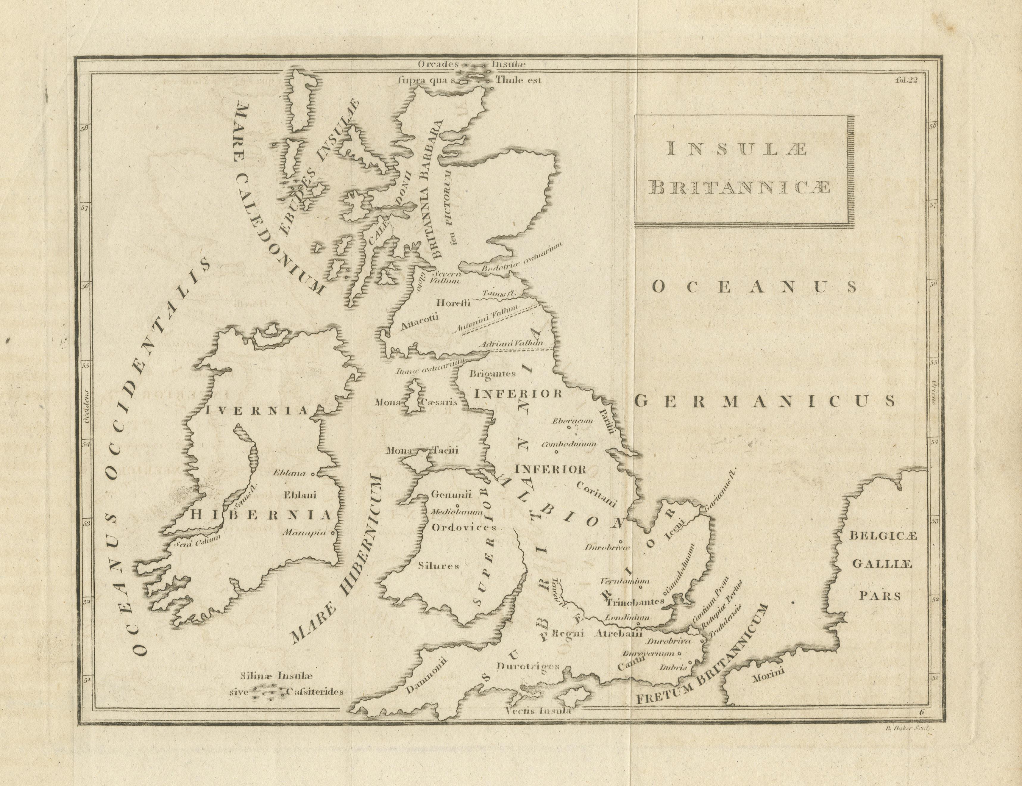
Old Map of British Isles According to the Geography of the Roman Empire, ca.1790
€ 180
One of a kind: this is the sheet in the photographs. Ships from Langweer, the Netherlands.
- Date
- 1790
- Sheet size
- 20.5 × 26 cm (8.1 × 10.2 in)
- Condition
- Fair
- Reference
- BG-13396-11
Condition
Age-related toning. Original folding lines. Shows some wear and soiling. Crease upper left, blank verso. Please study image carefully.