Black Friday Sale now on: up to 30% off until Monday 30 November →
Orders placed from 15 to 30 November ship from 1 December, in time for Christmas. Our shipping partner: InXpress.
Maps & PrintsBartele Gallery · Langweer

maps-prints.com

✦

Black Friday Sale now on

Up to 30% off original antique maps and prints, until Monday 30 November

Follow your favourite collections

Receive a weekly selection of new arrivals from the collections you love.

You can change your choices or unsubscribe at any time.

The terms

  • Up to 30% off selected original antique maps and prints. Every piece is an original, printed in its own time; none is a reproduction.
  • The sale runs until Monday 30 November. Prices revert on Tuesday 1 December.
  • Free FedEx shipping on qualifying orders placed on our own websites: USA, Canada, UK and Europe over $500 / €450; rest of the world over $750 / €675. Smaller orders pay our normal shipping rate.
  • Orders placed from 15 to 30 November ship from 1 December, in time for Christmas. Our shipping partner is InXpress.
  • Each piece is unique, so the sale is while stock lasts.
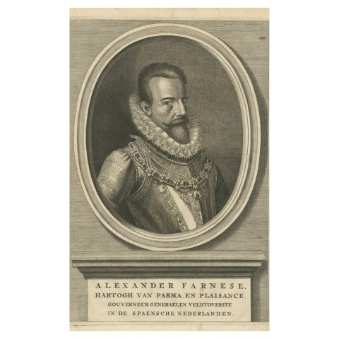
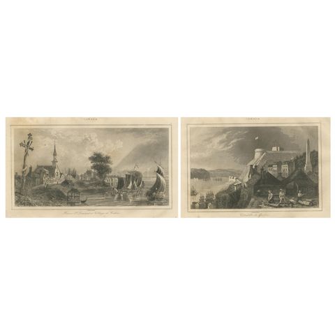
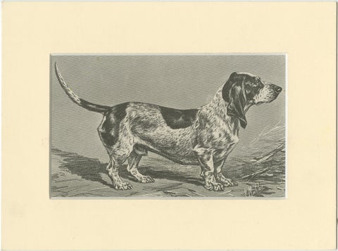
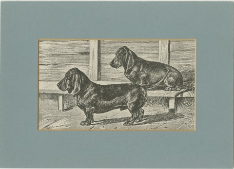
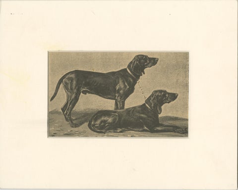
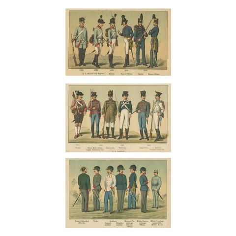
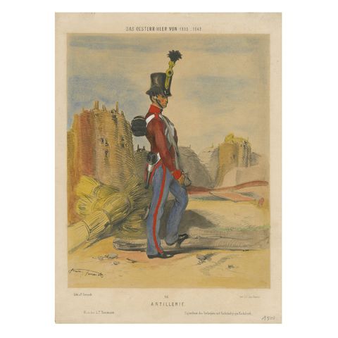
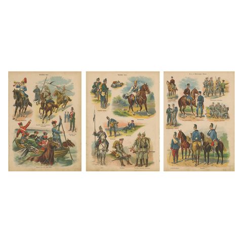
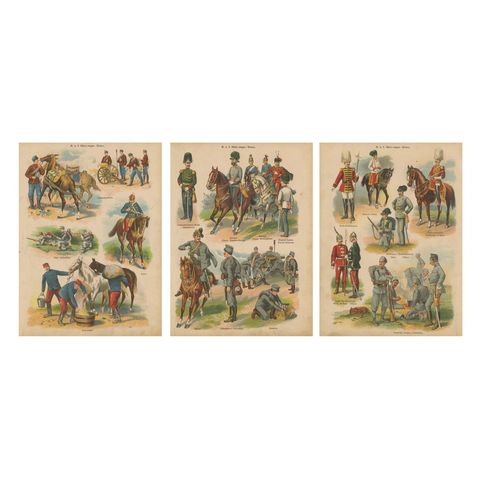
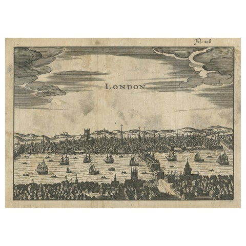
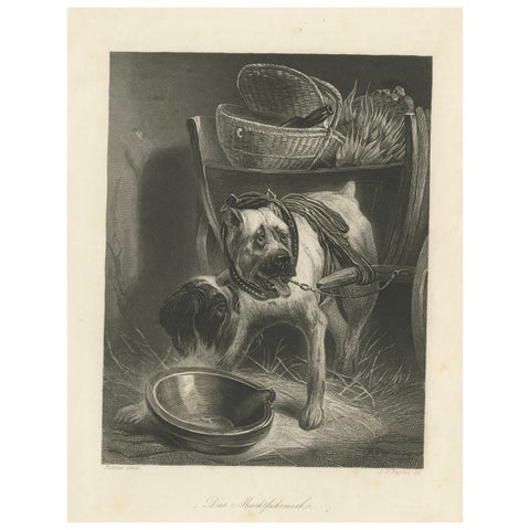
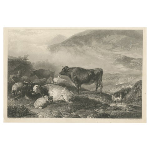
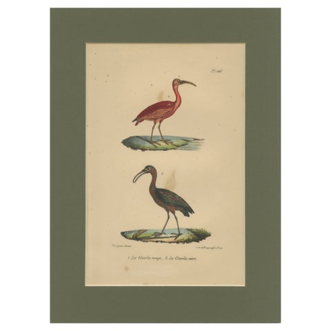
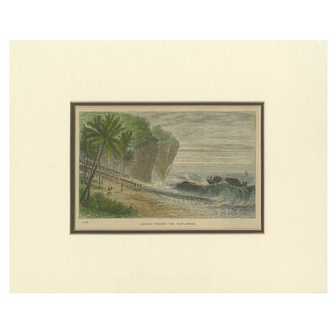
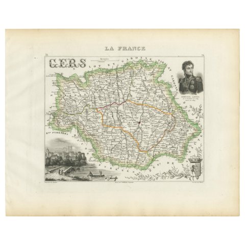
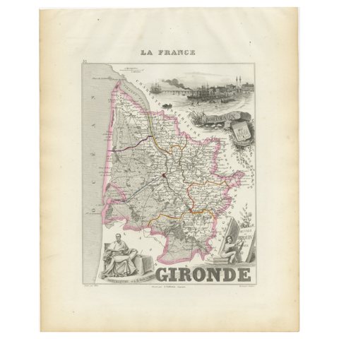
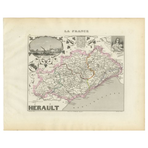
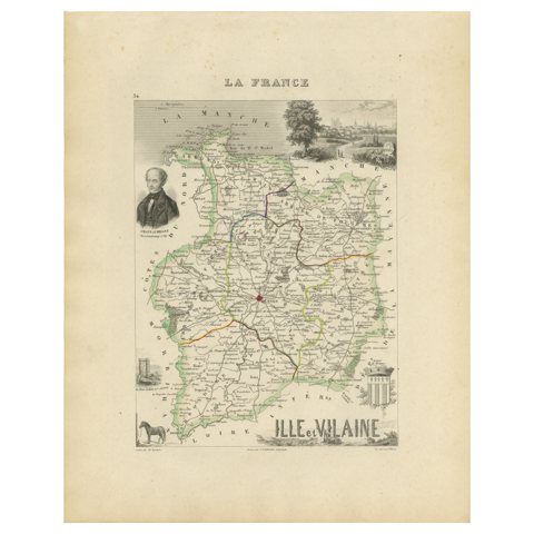
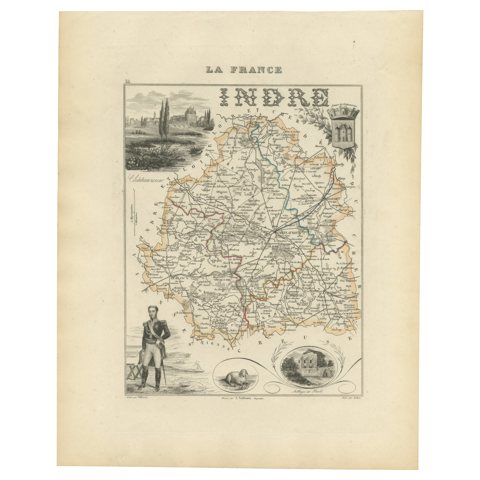
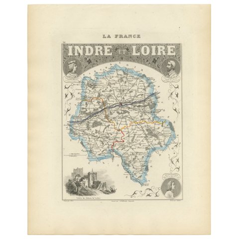
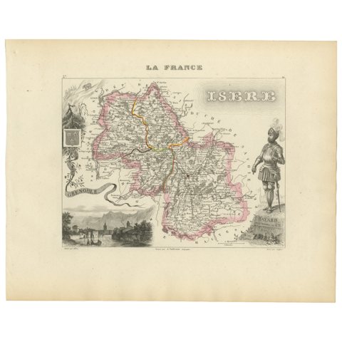
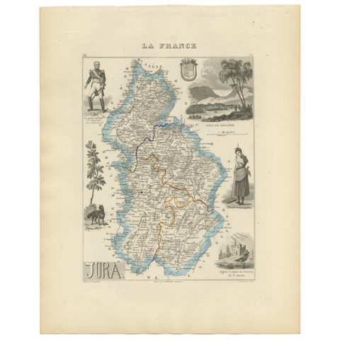
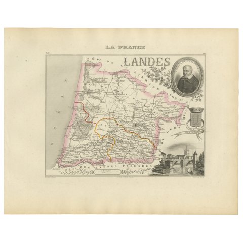
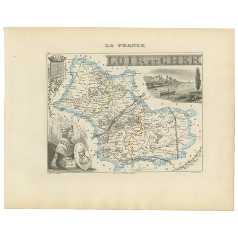
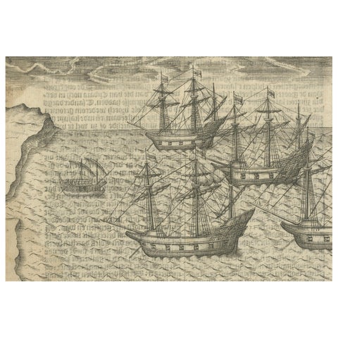
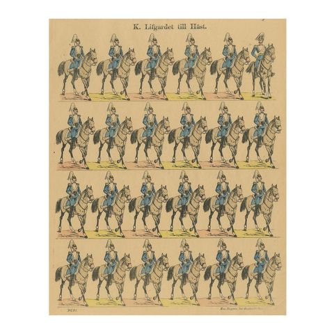
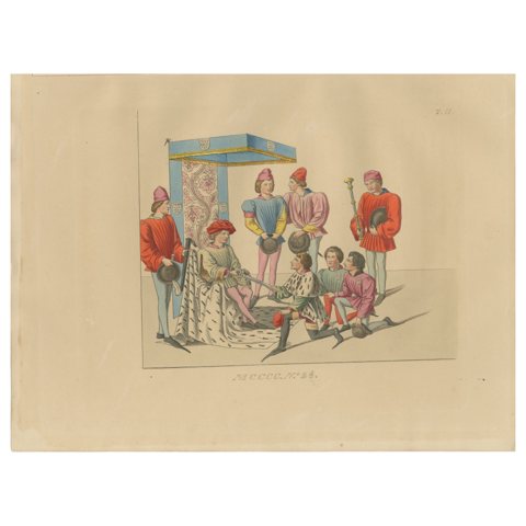
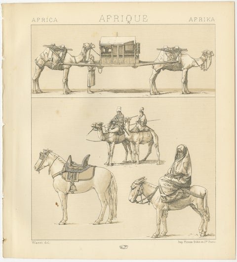
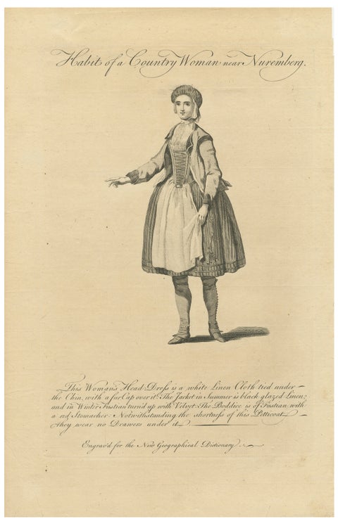
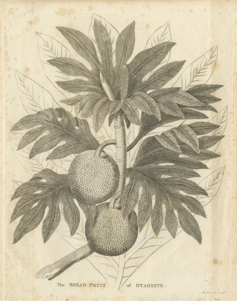
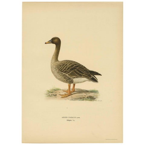
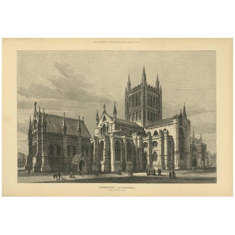
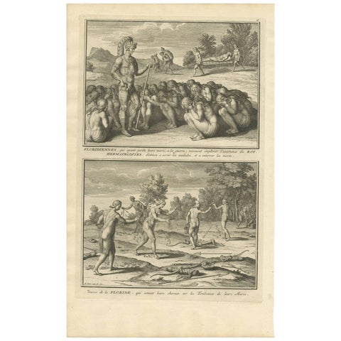
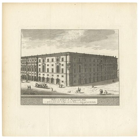
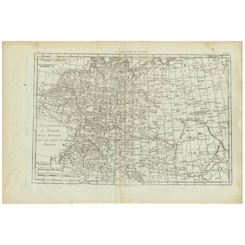
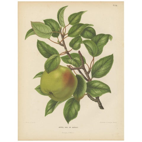
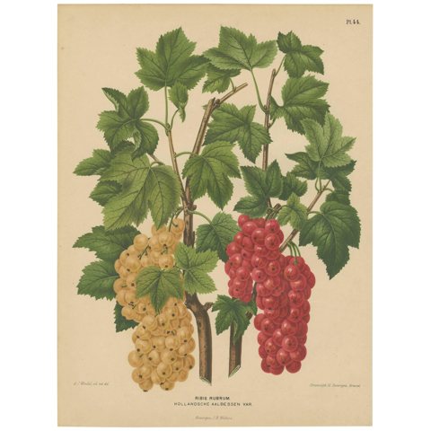
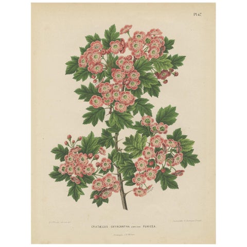
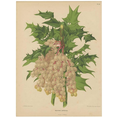
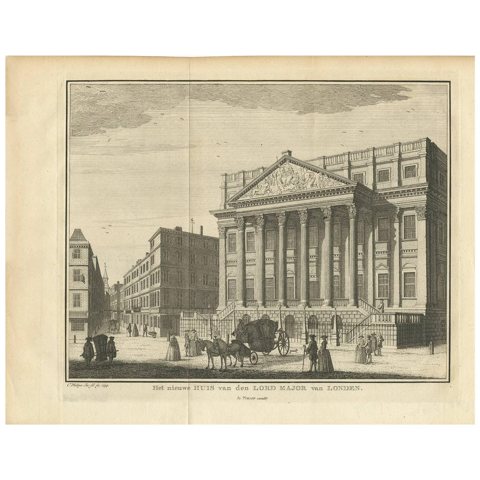
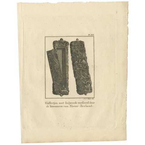
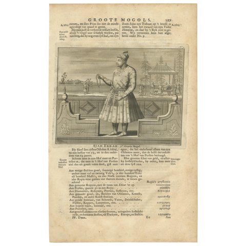
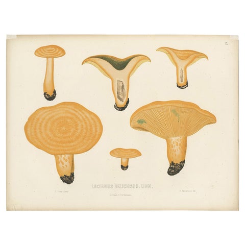
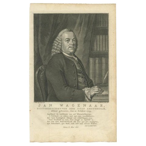
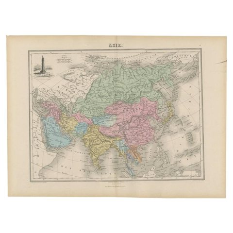
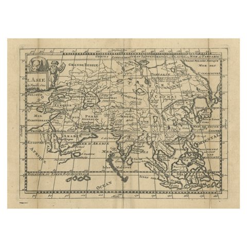
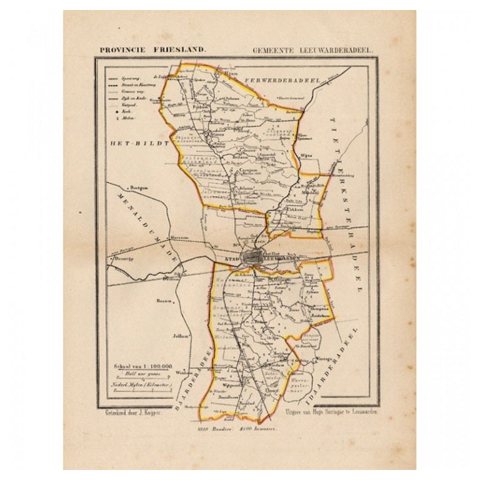
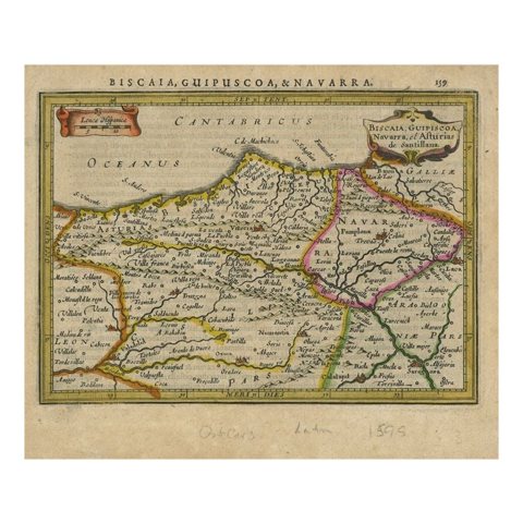
Antique Portrait Alexander Farnese – Spanish Netherlands Governor, c. 1750Antique Portrait Alexander Farnese – Spanish Netherlands Governor, c. 1750$155 $115 25% offVillage of Cedars and Quebec Citadel – Pair of 19th Century Canadian ViewsVillage of Cedars and Quebec Citadel – Pair of 19th Century Canadian Views$155 $115 25% offBlue Basset of Gascogne – Antique Dog Illustration, 1915Blue Basset of Gascogne – Antique Dog Illustration, 1915$155 $115 25% offDachshund Dog Illustration – Antique 1915 Print from Dogs of All NationsDachshund Dog Illustration – Antique 1915 Print from Dogs of All Nations$155 $115 25% offSwiss Hound Briquets – Antique Dog Print, circa 1880, French PublicationSwiss Hound Briquets – Antique Dog Print, circa 1880, French Publication$155 $115 25% offAustrian Military Uniforms Lithograph – Engineers, Landwehr & Staff, c.1890Austrian Military Uniforms Lithograph – Engineers, Landwehr & Staff, c.1890$155 $115 25% offAustrian Artillery Soldier, 1835–1848 – Hand-Coloured LithographAustrian Artillery Soldier, 1835–1848 – Hand-Coloured Lithograph$155 $115 25% offGerman & Austro-Hungarian Military Uniforms – Cavalry, Infantry, Artillery, 1890German & Austro-Hungarian Military Uniforms – Cavalry, Infantry, Artillery, 1890$155 $115 25% offAustro-Hungarian Army Uniforms – Cavalry, Infantry, Artillery & Parade, 1890Austro-Hungarian Army Uniforms – Cavalry, Infantry, Artillery & Parade, 1890$155 $115 25% offAntique Woodcut View of London – Thames River Panorama with London Bridge, c1650Antique Woodcut View of London – Thames River Panorama with London Bridge, c1650$155 $115 25% offBelgian Mastiff Working Dog – Antique Engraving by A.H. Payne, c.1850Belgian Mastiff Working Dog – Antique Engraving by A.H. Payne, c.1850$155 $115 25% offCattle Early Morning – Antique 1849 Engraving by J. Cousen after T.S. CooperCattle Early Morning – Antique 1849 Engraving by J. Cousen after T.S. Cooper$155 $115 25% offScarlet Ibis & Glossy Ibis – Antique hand-coloured lithograph, c.1828Scarlet Ibis & Glossy Ibis – Antique hand-coloured lithograph, c.1828$155 $115 25% offLanding Through the Surf – Ceram, late 19th-century hand-coloured wood engravingLanding Through the Surf – Ceram, late 19th-century hand-coloured wood engraving$155 $115 25% offMap of Gers France with Auch and Armagnac Wine Region by Vuillemin, 19th cMap of Gers France with Auch and Armagnac Wine Region by Vuillemin, 19th c$155 $115 25% offMap of Gironde France with Bordeaux Wine Region by Vuillemin, 19th cMap of Gironde France with Bordeaux Wine Region by Vuillemin, 19th c$155 $115 25% off19th Century Map of Hérault, France – Montpellier, Béziers, Coastal Languedoc19th Century Map of Hérault, France – Montpellier, Béziers, Coastal Languedoc$155 $115 25% offAntique French Map of Ille-et-Vilaine Region with Rennes, Saint-Malo, 1800sAntique French Map of Ille-et-Vilaine Region with Rennes, Saint-Malo, 1800s$155 $115 25% offAntique French Map of Indre Region with Châteauroux and Issoudun, 1800sAntique French Map of Indre Region with Châteauroux and Issoudun, 1800s$155 $115 25% offAntique French Map of Indre-et-Loire with Tours, Amboise, Chinon, 1800sAntique French Map of Indre-et-Loire with Tours, Amboise, Chinon, 1800s$155 $115 25% offAntique French Map of Isère Region with Grenoble, Vienne, Dauphiné, 1800sAntique French Map of Isère Region with Grenoble, Vienne, Dauphiné, 1800s$155 $115 25% offAntique French Map of Jura Region with Lons-le-Saunier, Dole, 1800sAntique French Map of Jura Region with Lons-le-Saunier, Dole, 1800s$155 $115 25% offAntique French Map of Landes Region with Mont-de-Marsan, Dax, Bayonne, 1800sAntique French Map of Landes Region with Mont-de-Marsan, Dax, Bayonne, 1800s$155 $115 25% off19th Century Map of Loir-et-Cher, France – Blois, Vendôme, Loire Valley Castles19th Century Map of Loir-et-Cher, France – Blois, Vendôme, Loire Valley Castles$155 $115 25% offDutch Voyages to Madagascar – Early Exploration Scene, Pontanus 1611Dutch Voyages to Madagascar – Early Exploration Scene, Pontanus 1611$155 $115 25% offSwedish Life Guards on Horseback – Royal Cavalry Uniforms, c.1860Swedish Life Guards on Horseback – Royal Cavalry Uniforms, c.1860$155 $115 25% offMedieval Court Ceremony, Antique Hand-Colored Lithograph by Bonnard, 1845Medieval Court Ceremony, Antique Hand-Colored Lithograph by Bonnard, 1845$155 $115 25% offAfrican Transport & Camel Litter, Racinet Afrique Plate, 1888African Transport & Camel Litter, Racinet Afrique Plate, 1888$155 $115 25% offCountry Woman near Nuremberg, Germany – Antique Costume Engraving, c.1795Country Woman near Nuremberg, Germany – Antique Costume Engraving, c.1795$190 $155 20% offAntique Botanical Print of Breadfruit of Otaheite by Bryan Edwards, 1818Antique Botanical Print of Breadfruit of Otaheite by Bryan Edwards, 1818$155 $115 25% offAntique Bird Print of a Taiga Bean Goose ‘Anser Fabalis’, 1917Antique Bird Print of a Taiga Bean Goose ‘Anser Fabalis’, 1917$155 $115 25% offAntique Print of Hereford Cathedral from the Illustrated London News, 1883Antique Print of Hereford Cathedral from the Illustrated London News, 1883$155 $115 25% offAntique Print of Widows in Florida by B. Picart, 1721Antique Print of Widows in Florida by B. Picart, 1721$155 $115 25% offAntique Print of the Palazzo di Propaganda Fide, Rome by M. de Bruyn, 1779Antique Print of the Palazzo di Propaganda Fide, Rome by M. de Bruyn, 1779$155 $115 25% offAntique Map of Germany, Bohemia, Hungary and Part of Poland by R. Bonne ‘1780’Antique Map of Germany, Bohemia, Hungary and Part of Poland by R. Bonne ‘1780’$155 $115 25% offAntique Print of the Harvey Apple by G. Severeyns, 1876Antique Print of the Harvey Apple by G. Severeyns, 1876$155 $115 25% offAntique Print of Dutch Currants by G. Severeyns, 1879Antique Print of Dutch Currants by G. Severeyns, 1879$155 $115 25% offAntique Plant Print of the Crataegus Oxyacantha by G. Severeyns, 1879Antique Plant Print of the Crataegus Oxyacantha by G. Severeyns, 1879$155 $115 25% offAntique Plant Print of the Mahonia Japonica by G. Severeyns, 1879Antique Plant Print of the Mahonia Japonica by G. Severeyns, 1879$155 $115 25% offAntique Print of the New Residence of the Lord Major of London by I. TirionAntique Print of the New Residence of the Lord Major of London by I. Tirion$155 $115 25% offAntique Print of a Wooden Box from New Zealand by Cook, 1803Antique Print of a Wooden Box from New Zealand by Cook, 1803$155 $115 25% offAntique Print of the 9th Mughal Emperor by Valentijn, 1726Antique Print of the 9th Mughal Emperor by Valentijn, 1726$155 $115 25% offAntique Mycology Print of Lactarius Deliciosus by E.M. Fries, circa 1860Antique Mycology Print of Lactarius Deliciosus by E.M. Fries, circa 1860$155 $115 25% offAnique Portrait of Jan Wagenaar by Houbraken, 1766Anique Portrait of Jan Wagenaar by Houbraken, 1766$155 $115 25% offAntique Map of Asia with an Illustration of the Porcelain Tower at Nanjing, 1880Antique Map of Asia with an Illustration of the Porcelain Tower at Nanjing, 1880$155 $115 25% offAntique Map of Asia with Misshaped Coastlines and Distorted Islands c.1760Antique Map of Asia with Misshaped Coastlines and Distorted Islands c.1760$155 $115 25% offAntique Map of Leeuwarderadeel, Township in Friesland, The Netherlands, 1868Antique Map of Leeuwarderadeel, Township in Friesland, The Netherlands, 1868$150 $115 25% offAntique Map of Northeastern Spain by Mercator, 1634Antique Map of Northeastern Spain by Mercator, 1634$155 $115 25% off

Sharing the sale? Download the Black Friday banners.

Your favorites

Saved in this browser. Email the list to yourself to keep it on any device.

We use your email to send this list and, only if you tick the box and confirm, for occasional new arrivals. Every email has an unsubscribe link. Bartele Gallery, the Netherlands.

Powered by SiteKeys