Maps & PrintsBartele Gallery · Langweer
Home / Antique Maps / Europe / Western Europe / Germany

Germany · 18th century

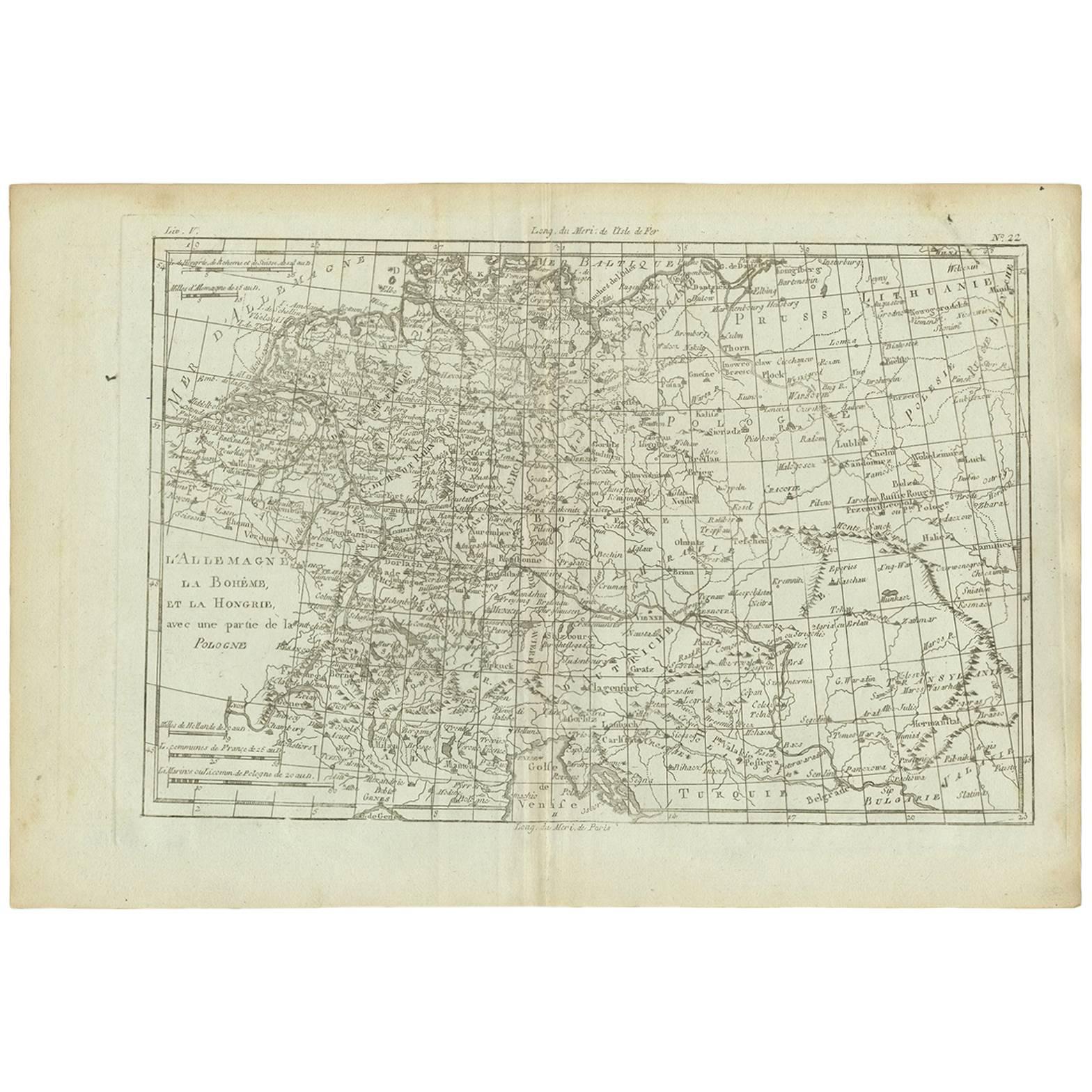
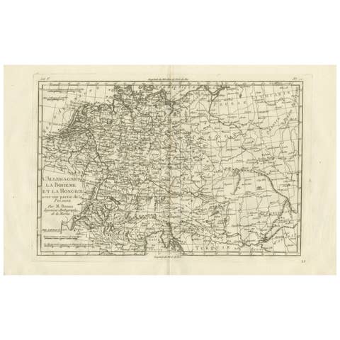
Antique Map of Germany, Bohemia, Hungary and Part of Poland by R. Bonne ‘1780’

€ 140

One of a kind: this is the sheet in the photographs. Ships from Langweer, the Netherlands.

Date
1780
Sheet size
26 × 38.2 cm (10.2 × 15.0 in)
Condition
Good
Reference
BGI-00720

Condition

Minor fading. Please study image carefully.
About this sheet

Antique map titled "L'Allemagne, La Bohême, et la Hongrie avec une partie de la Pologne" by Rigobert Bonne (1729-1795) for "Atlas de toutes les parties connues du globe terrestre" by Guillaume Thomas Francois Raynal (1713-1796). This map shows current Holland, Germany, Belgium, Switzerland, Austria, Slovenia, Croatia, Hungary, Czech Republic, Slovakia and Poland.

More from Germany

Ask about this sheet

Antique Map of Germany, Bohemia, Hungary and Part of Poland by R. Bonne ‘1780’
1780 · Ref. BGI-00720 · € 140
We reply by email, usually within one working day.