maps-prints.com
✦
Black Friday Sale
Friday 20 to Monday 30 November: up to 30% off original antique maps and prints
The terms
- Up to 30% off selected original antique maps and prints. Every piece is an original, printed in its own time; none is a reproduction.
- The sale runs from Friday 20 November to Monday 30 November. Sale prices shown here apply from Friday 20 November; until then pieces are sold at their regular price.
- Free FedEx shipping on qualifying orders placed on our own websites: USA, Canada, UK and Europe over $500 / €450; rest of the world over $750 / €675. Smaller orders pay our normal shipping rate.
- Orders placed from 15 to 30 November ship from 1 December, in time for Christmas. Our shipping partner is InXpress.
- Each piece is unique, so the sale is while stock lasts.
Collection:AllAmericanSea chartsMilitaryNatural historyFashionArchitectureBotanicalSacredEast Indies
Sale prices apply from Friday 20 November. Save the pieces you like with the heart and come back on Friday.
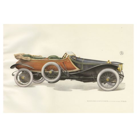 Antique Print of the Panhard et Levassor Skiff-Torpedo Car, 1914
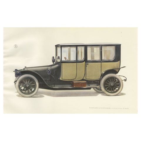 Antique Print of the Panhard et Levassor Double Coupe Conduite Car
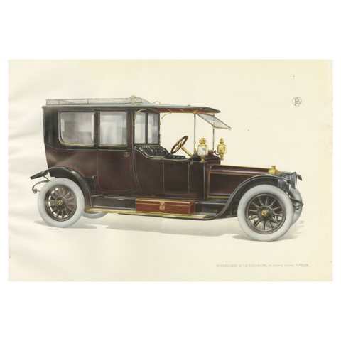 Antique Print of the Panhard et Levassor Limousine Car, 1914
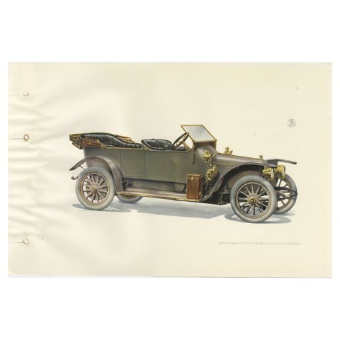 Antique Print of the Panhard et Levassor Torpedo Car, 1914
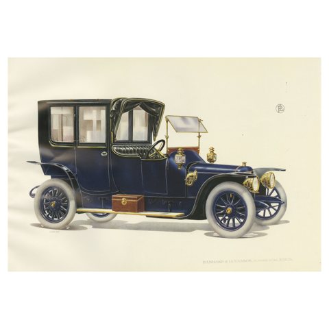 Antique Print of the Panhard et Levassor Coupe Avant Torpedo Car
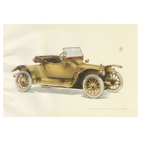 Original Antique Print of the Panhard Et Levassor Deux Bauqets Car, 1914
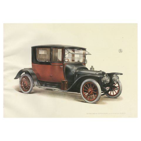 Antique Print of the Panhard Et Levassor Coupe 4pl Conduite Car, 1914
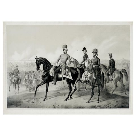 The Battle of Custoza, July 25, 1848: Commanding Officers Lead the Charge, 1850
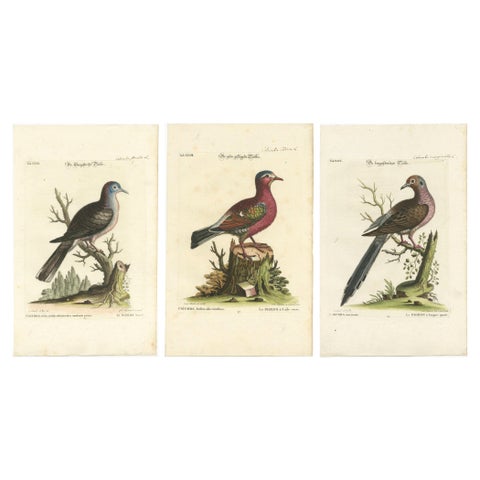 Exotic Pigeons: Hand-Colored Engravings from the Seligmann Edition, c.1770
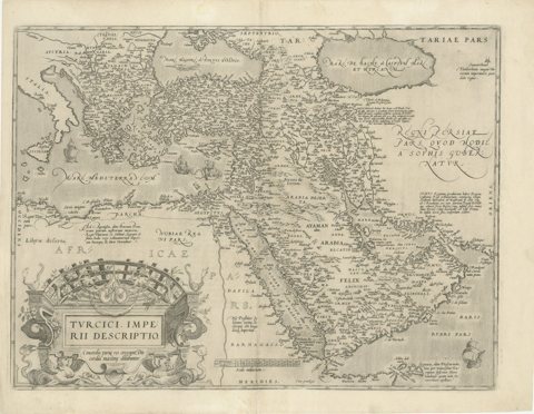 16th-Century Map of the Ottoman Empire and Near East: Turcici Imperii Descriptio
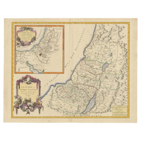 1750 Map of the Holy Land: The Land of Canaan and the Twelve Tribes
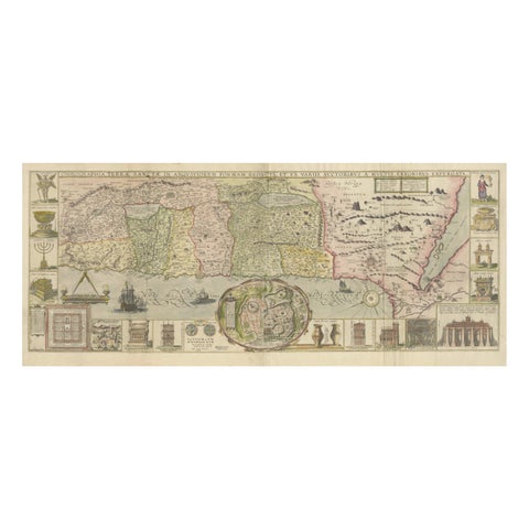 1632 Decorative Map of the Holy Land, Insets of Jerusalem and Biblical Artefacts
 Rare Dutch Bird Print – Hoopoe, Bullfinch, Linnet and Quail, ca. 1770–1829
 Original Illustration “Le Faucon d’Or” by Charles Burki, 1971 – Gouache on Board
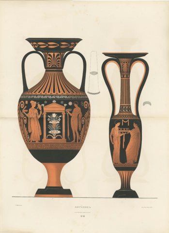 Antique Greek Amphorae with Classical Figures Double-Page Lithograph, 1883
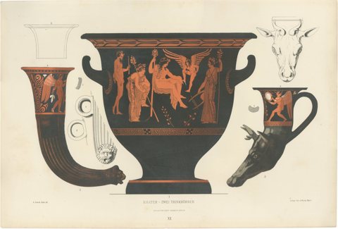 Antique Greek Krater & Rhyton Drinking Horns Color Lithograph, 1883
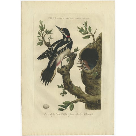 Antique Bird Print of the Great Spotted Woodpecker by Sepp & Nozeman, 1770
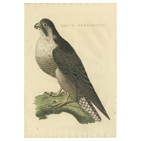 Antique Bird Print of The Peregrine Falcon by Sepp & Nozeman, 1829
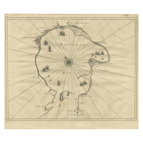 Antique Engraved Map of Manila, the Earliest Obtainable Map of Manila Bay, 1726
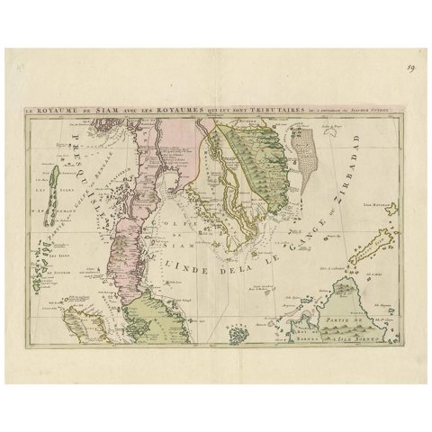 Antique Map of Southeast Asia by J. Ottens, 1710
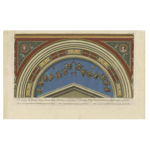 Large Decorative Antique Print of a Fresco in the Vatican by Ottaviani, ca. 1775
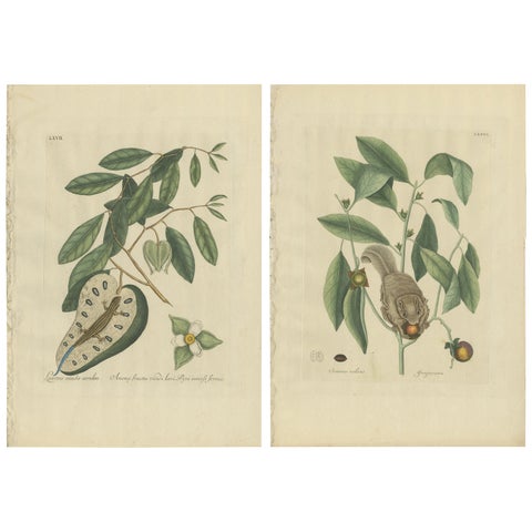 Flying Squirrel & Blue-Tail Lizard – Catesby Natural History c.1771
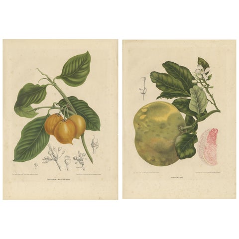 Set of Two Antique Prints, Citrus Decumana, Xanthochymus Dulcis, circa 1870
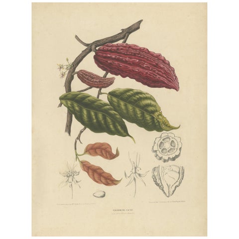 Theobroma Cacao – Cocoa Tree Botanical Lithograph c.1863
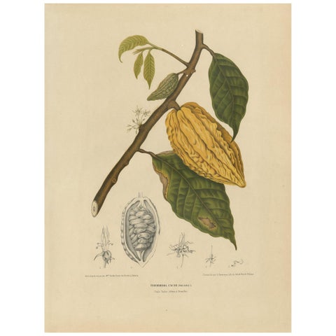 Antique Botany Print of a White Cacao Tree by Van Nooten, circa 1875
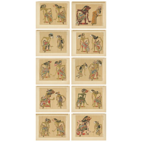 Set of 10 Antique Prints of Wayang Puppets by Juynboll, 1900
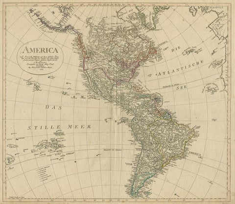 Antique Map of North and South America by Schneider and Weigel, 1818
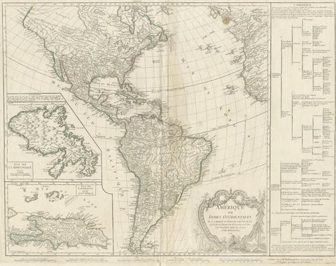 Antique Map of the Americas and West Indies by Robert de Vaugondy, 1778
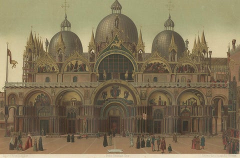 Large Antique Print of the Main Facade of the Basilica of San Marco, 1881
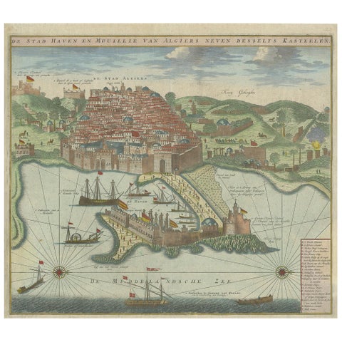 Antique Print of the Port and City of Algiers by Van Keulen, circa 1720
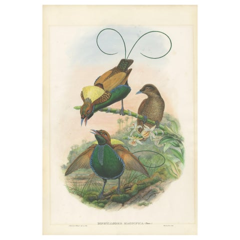 Antique Bird Print of the Magificant Bird of Paradise by Gould, circa 1850
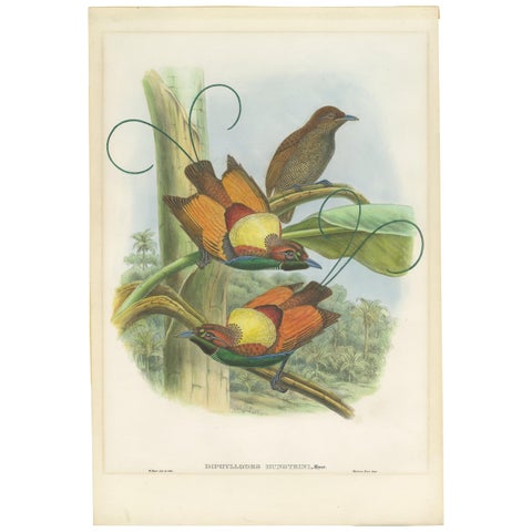 Antique Bird Print of Hunstein's Bird of Paradise by Gould, circa 1850
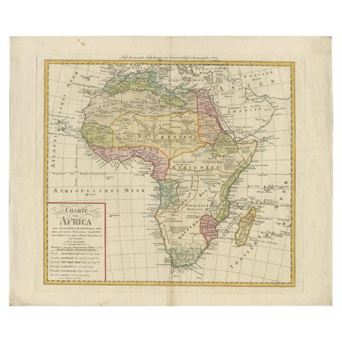 Antique Map of Africa by Homann Heirs, '1804'
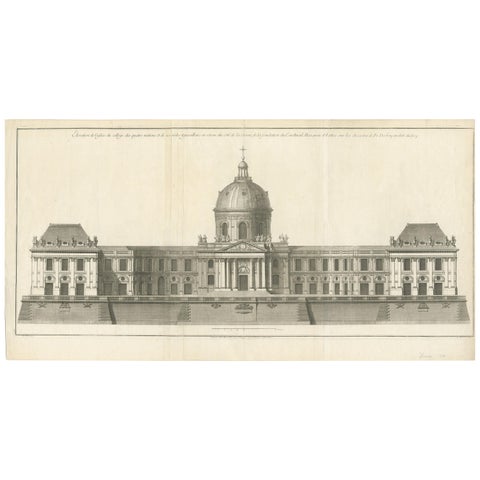 Antique Print of the Facade of the Collège des Quatre-Nations by Mariette '1738'
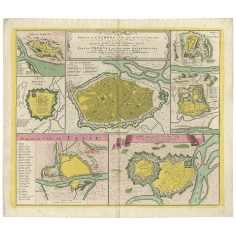 Antique Map with Plans of Cremona, Pavia, Montferrato & Others by Homann, '1734'
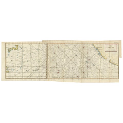 Antique Chart of the Mid-Pacific Ocean by Anson, c.1784
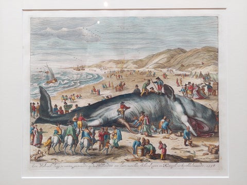 Antique Print of a Beached Whale by Van der Gouwen 'c.1680'
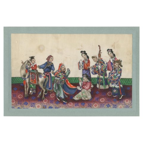 Antique Chinese Rice Paper Pith Painting of Men and Women '19th century'
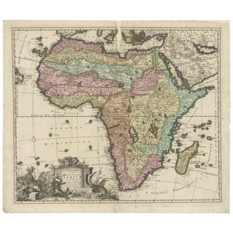 Original Antique Hand- Map of Africa by Allard '1697'
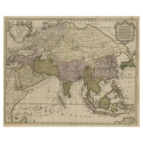 Large Antique Map of Asia including All of Southeast Asia, c.1792
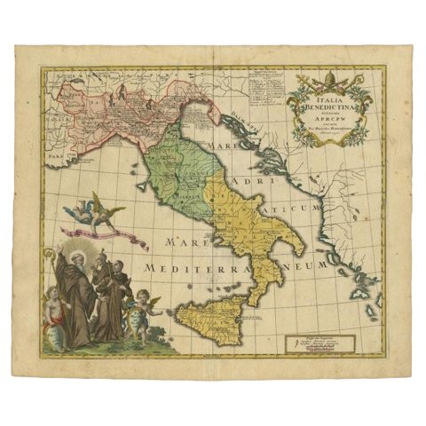 Unusual Benedictine Map of Italy, Showing Various States of the Church, C.1745
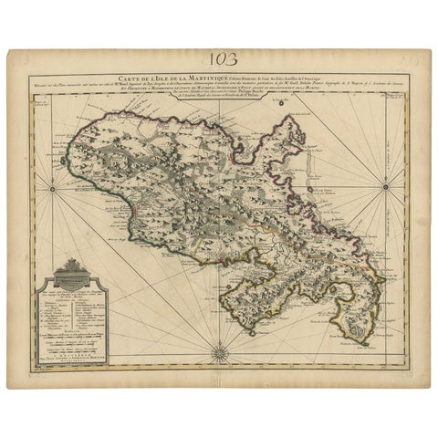 Antique Map of Martinique, Showing Roads, Houses, Sugar Plantations, etc. c.1750
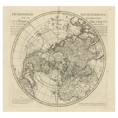 Antique Map of the Northern Hemisphere, 1782
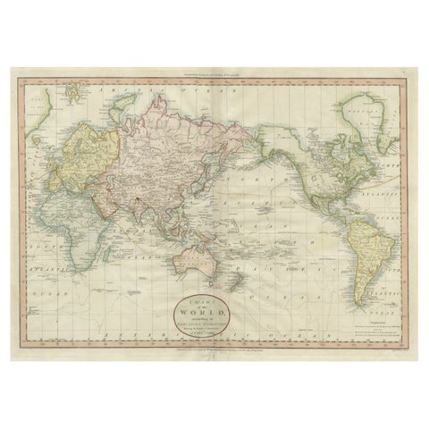 Attractive Antique Map of the World as Planisphere, Shows Cook's Voyages, 1799
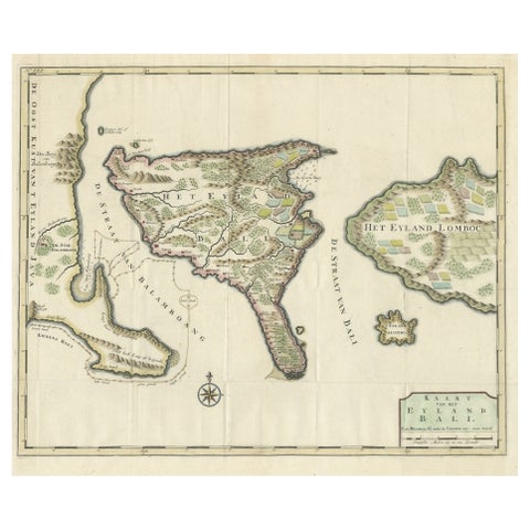 1726 Valentyn's Map of Bali and Lombok, Original Engraving
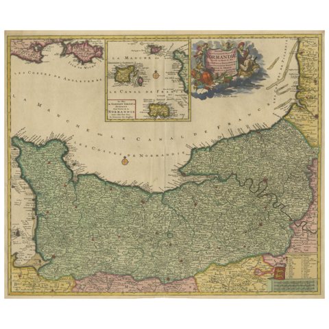 Original Normandy Map by Frederick de Wit, 1705, with Inset of Channel Islands
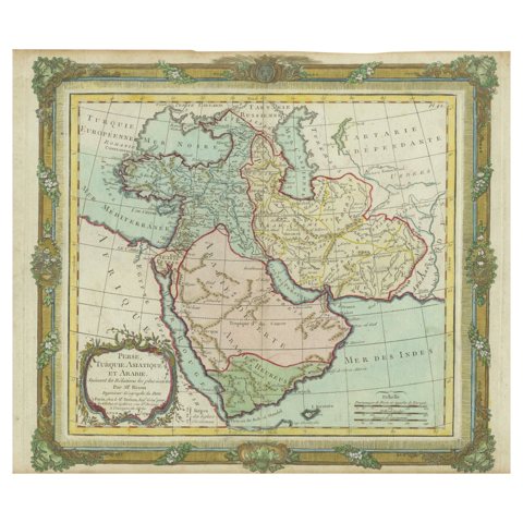 Antique Map of the Middle East with a Large Arabia, 1799
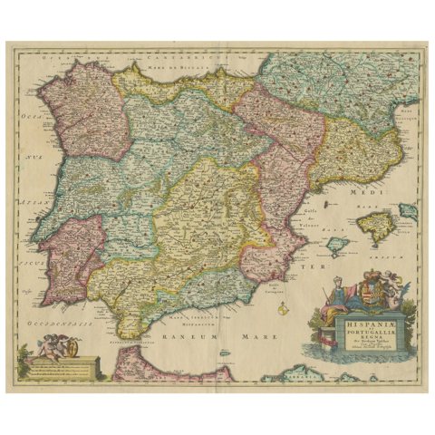 Antique Map of the Iberian Peninsula with two decorative Cartouches, c.1680
Sharing the sale? Download the Black Friday banners.