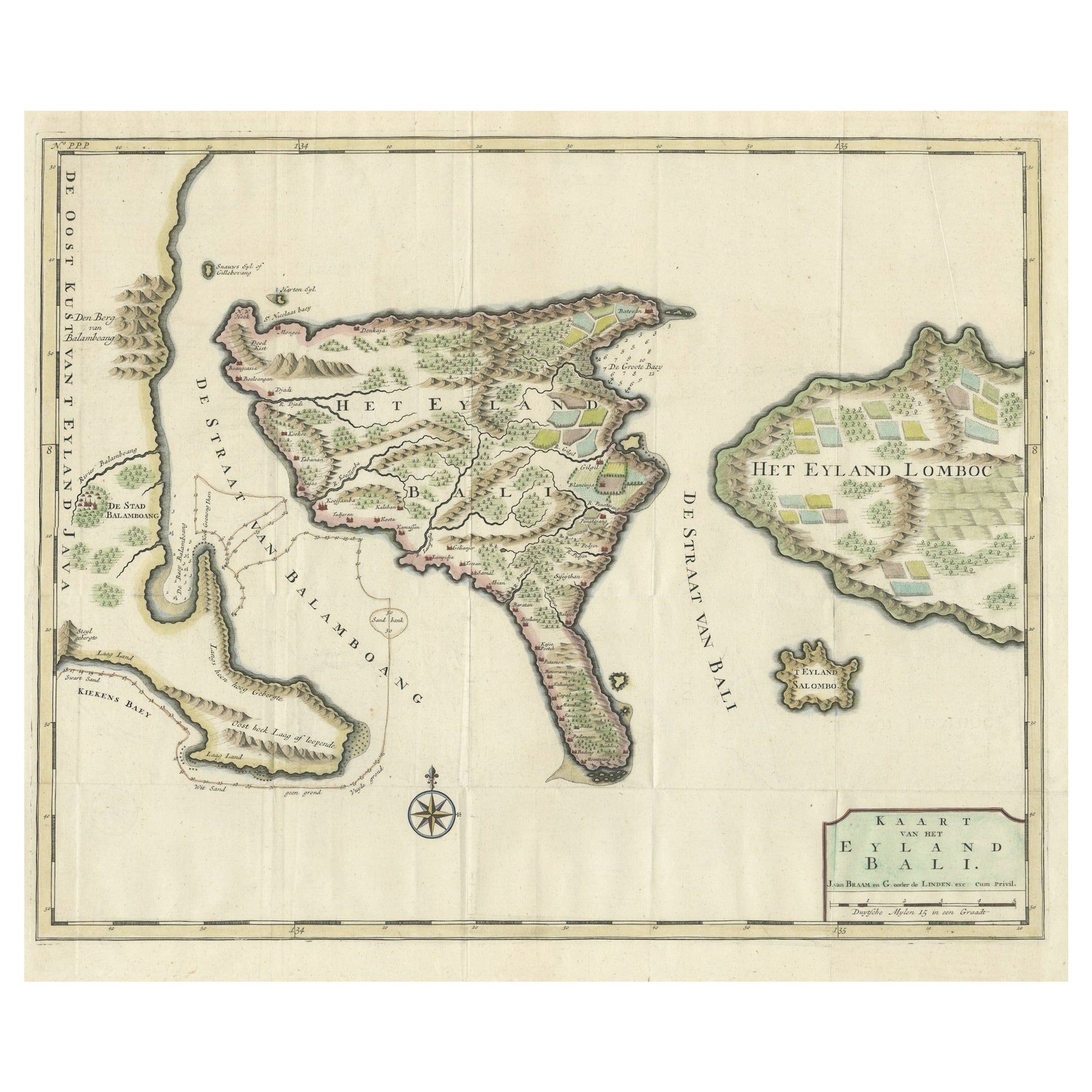

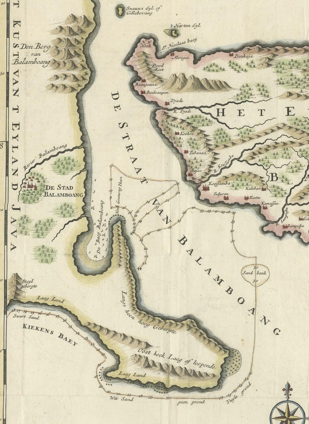
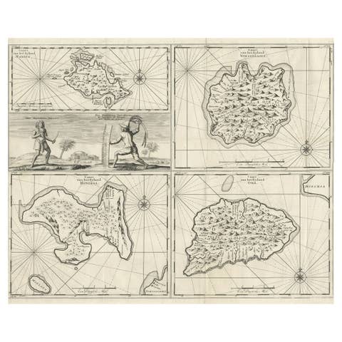
1726 Valentyn's Map of Bali and Lombok, Original Engraving
€ 1 500
One of a kind: this is the sheet in the photographs. Ships from Langweer, the Netherlands.
Date
1726
Sheet size
55 × 62 cm (21.7 × 24.4 in)
Condition
Good
Reference
BG-13424-44
Condition
The map is in good condition with visible fold lines, common in maps designed to be used or stored in atlases. The hand coloring is vibrant, but of later date. A bit rough around the edges due to age and handling. Study the image carefully.
About this sheet
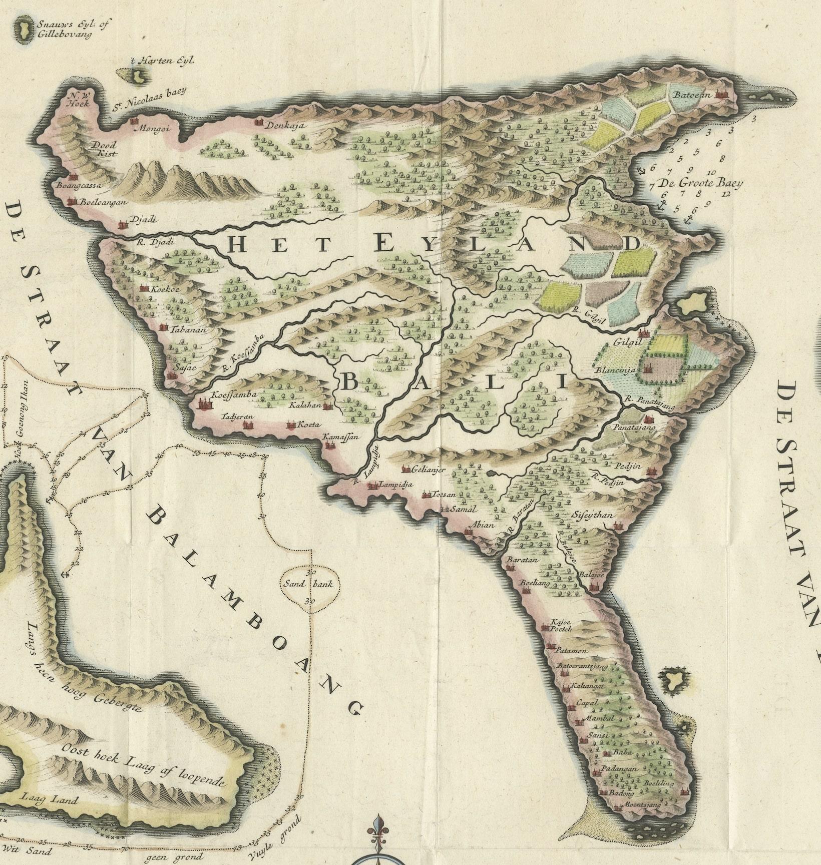
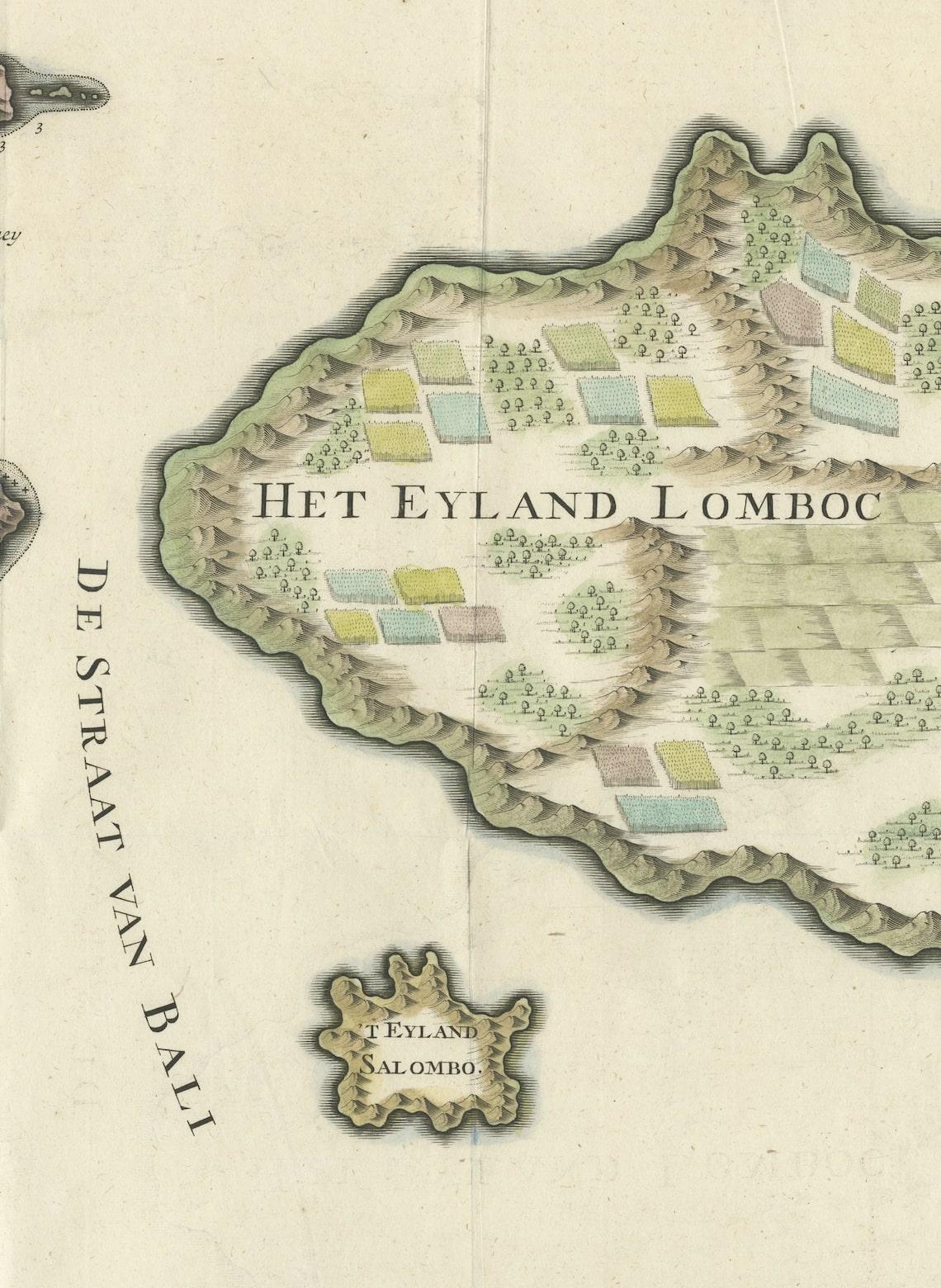
This antique map is a detailed 18th-century chart of the island of Bali, one of the many islands of Indonesia, with an inset of the neighboring island Lombok, attributed to François Valentyn or Valentijn. He was a Dutch minister and author who worked for the Dutch East India Company, and his maps are well-regarded for their detail and accuracy.
The map includes intricate details of Bali's coastline, mountainous regions. It also features depth soundings around the coast, suggesting it was used for navigation. The presence of the compass rose indicates the orientations. The map is in good condition with visible fold lines, common in maps designed to be used or stored in atlases. The hand coloring has done recently.
François Valentyn was a prominent Dutch minister and historian known for his detailed works about the East Indies, compiled through his time with the Dutch East India Company. His notable work includes the comprehensive "Oud en Nieuw Oost-Indiën" which included descriptions and maps of the Dutch colonial territories. J. van Braam and Gerard onder de Linden were publishers based in the Dutch city of Dordrecht and Amsterdam, respectively. They were involved in printing and distributing Valentyn's works, contributing to the dissemination of geographical knowledge during the Dutch Golden Age of exploration and cartography. Their collaboration resulted in works that combined accurate cartographic detail with the rich descriptions of the regions, valuable for both navigation and general knowledge.