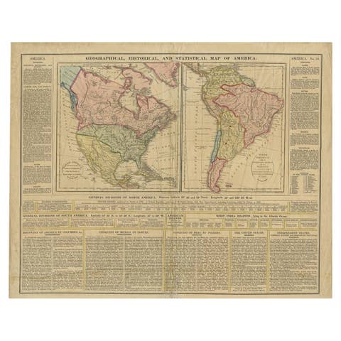
Antique Map of North and South America by Schneider and Weigel, 1818
€ 1 500
Original antique · The actual sheet photographed · Certificate of authenticity on request · Sold unframed · Worldwide shipping from € 15 (rates)
Date
1818
Technique
Engraved
Sheet size
56.5 × 68 cm (22.2 × 26.8 in)
Condition
Good
Reference
PCT-58026
What the condition grades mean
Excellent
Bright and clean, with no faults worth mentioning.
Very good
Only light signs of age, such as faint toning.
Good
Normal signs of age for a sheet of this period: toning, some foxing, small marks or neat old repairs.
Fair
Clear faults such as staining, tears or repairs, priced to match.
Every fault we see is written in the condition note, and the whole sheet is shown uncropped in the photos.
Condition
Good, given age. Several small soft creases. Horizontal crease left to right. Bottom margin partly browned. Some small spots and soiling, mainly in the margins. Original middle fold. General age-related toning. Please review the images for further condition details.
About this sheet
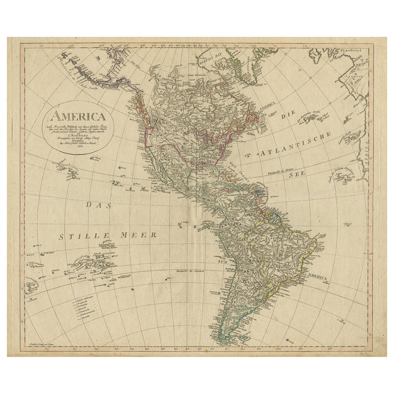
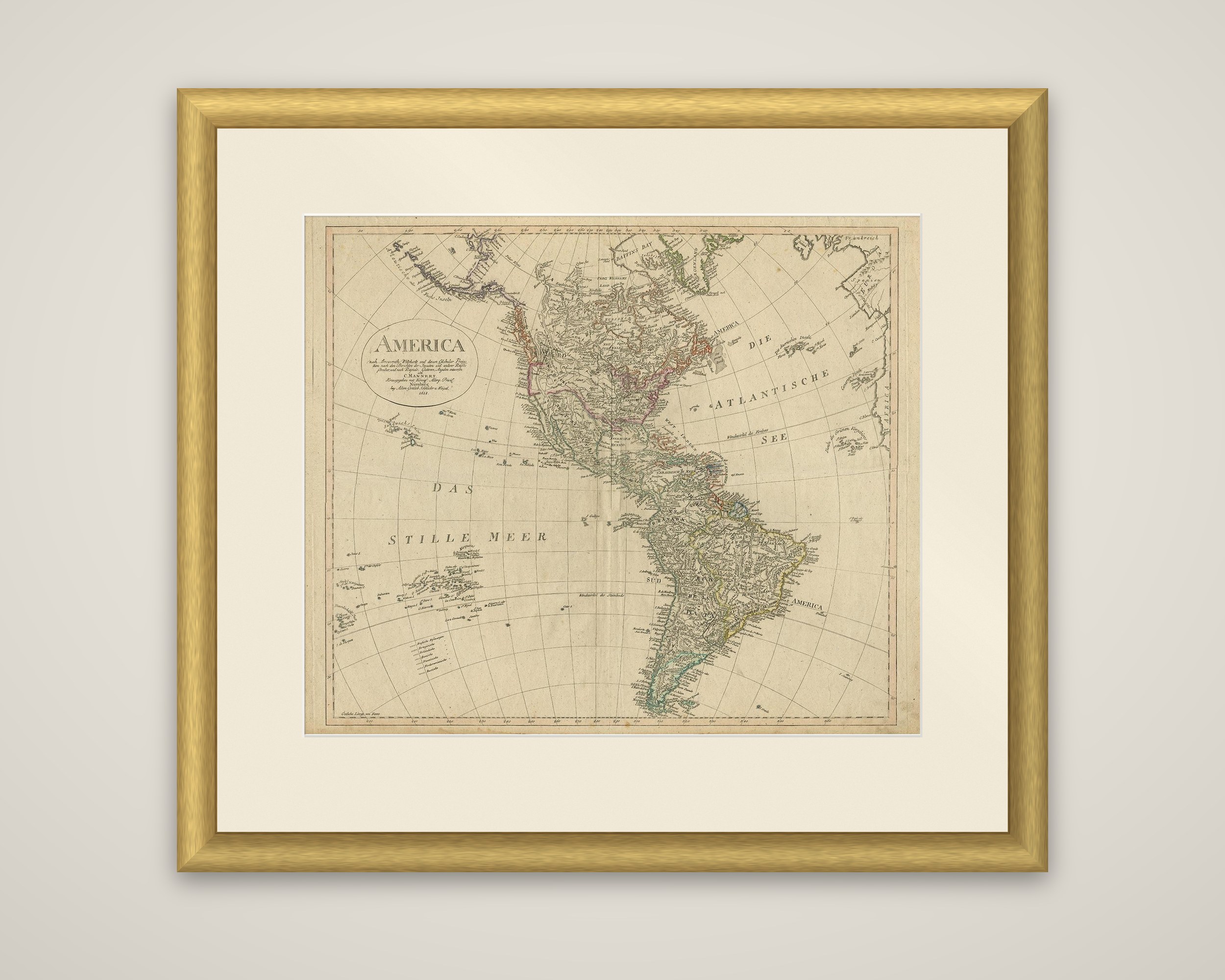
A map of the Americas, titled "America nach Arrowsmiths Weltcharte und dessen Globular Projection," redrawn by C. Mannert and published by Schneider and Weigel in 1818. The sheet is an engraved map with outline hand color.
North and South America appear together on a globular projection, with the Atlantic lettered "Die Atlantische See" and the Pacific "Das Stille Meer." The United States, British possessions, Mexico and the Spanish colonies are outlined in different colors, and the Brazilian coast and the Plata are drawn in detail. Greenland and the Arctic coast are at the top, and the Pacific islands appear along the left edge. A title cartouche at the upper left reads that the map follows Arrowsmith's world chart and credits the redrawing to Mannert. Rivers, mountain chains and many coastal places are lettered, and the sheet is printed with a graticule of meridians and parallels.
The map shows the hemisphere shortly after the wars of independence began to reshape Spanish America, as a German publisher drew it from the English chart.