Black Friday starts Friday 20 November: up to 30% off, plus free FedEx shipping on qualifying orders →
Orders placed from 15 to 30 November ship from 1 December, in time for Christmas. Our shipping partner: InXpress.
Maps & PrintsBartele Gallery · Langweer
Home / Antique Maps / America / Central America & Caribbean

Central America & Caribbean · 18th century

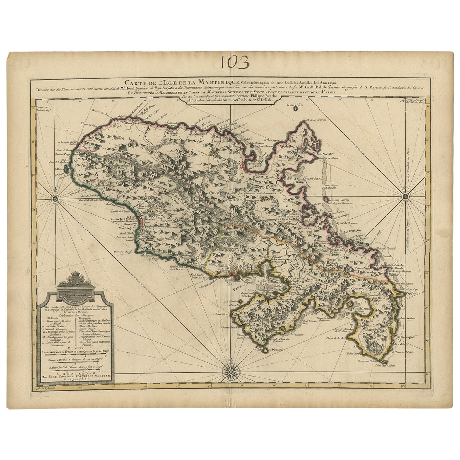
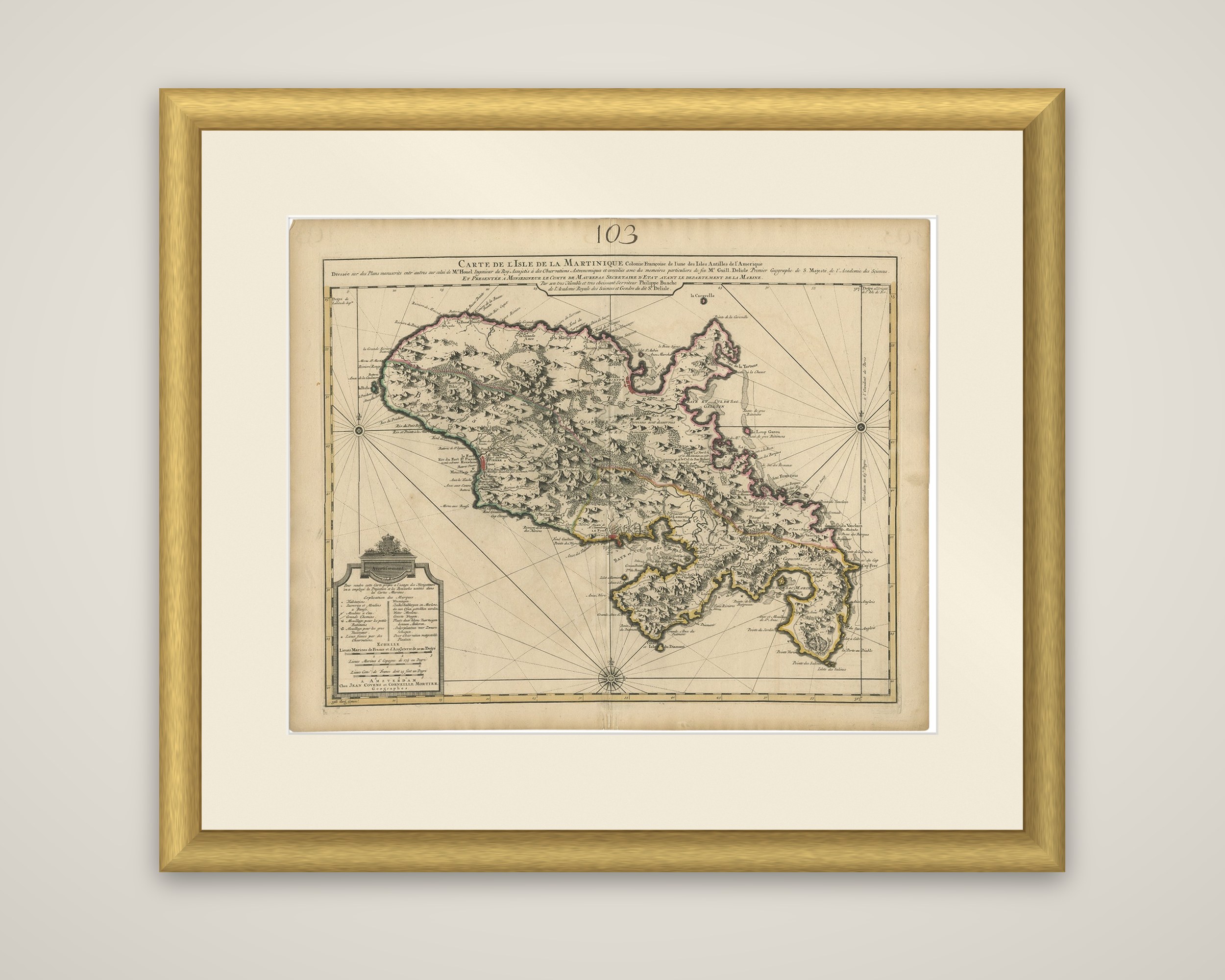
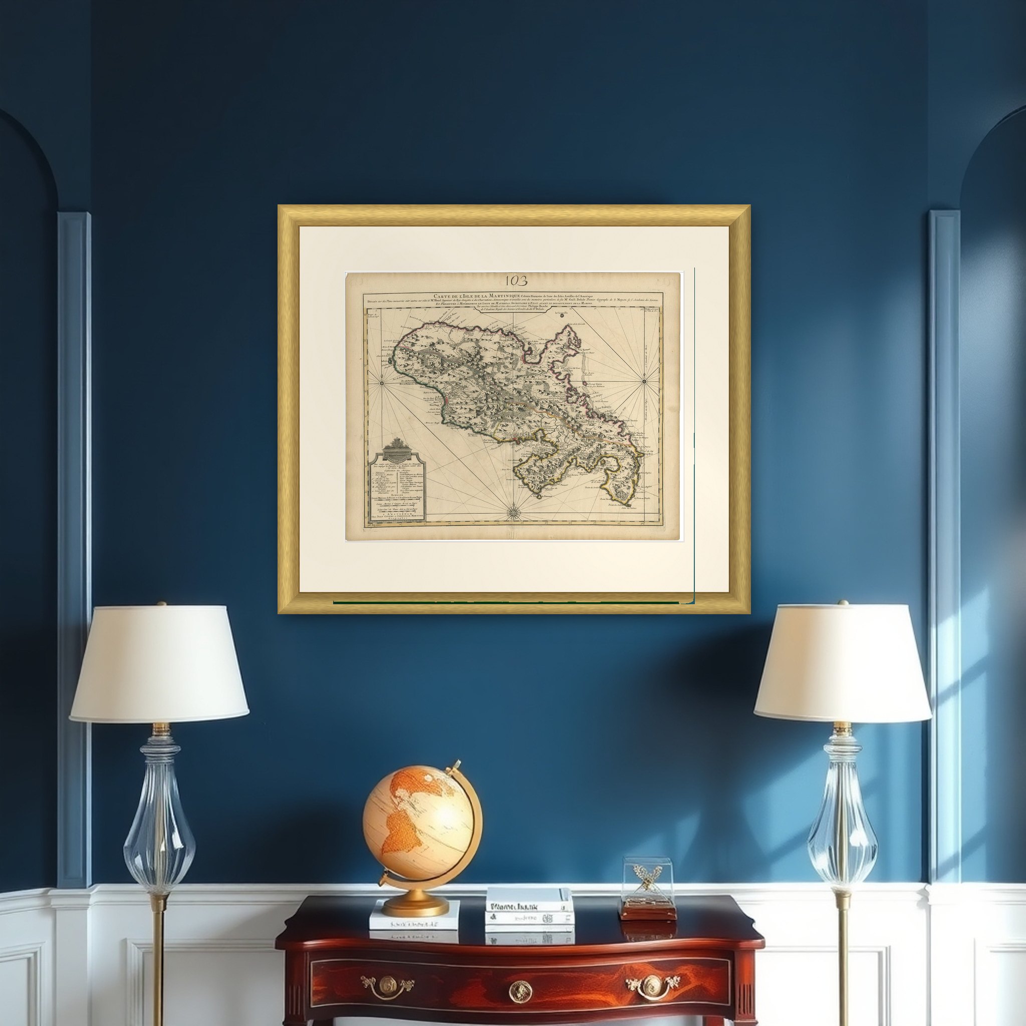
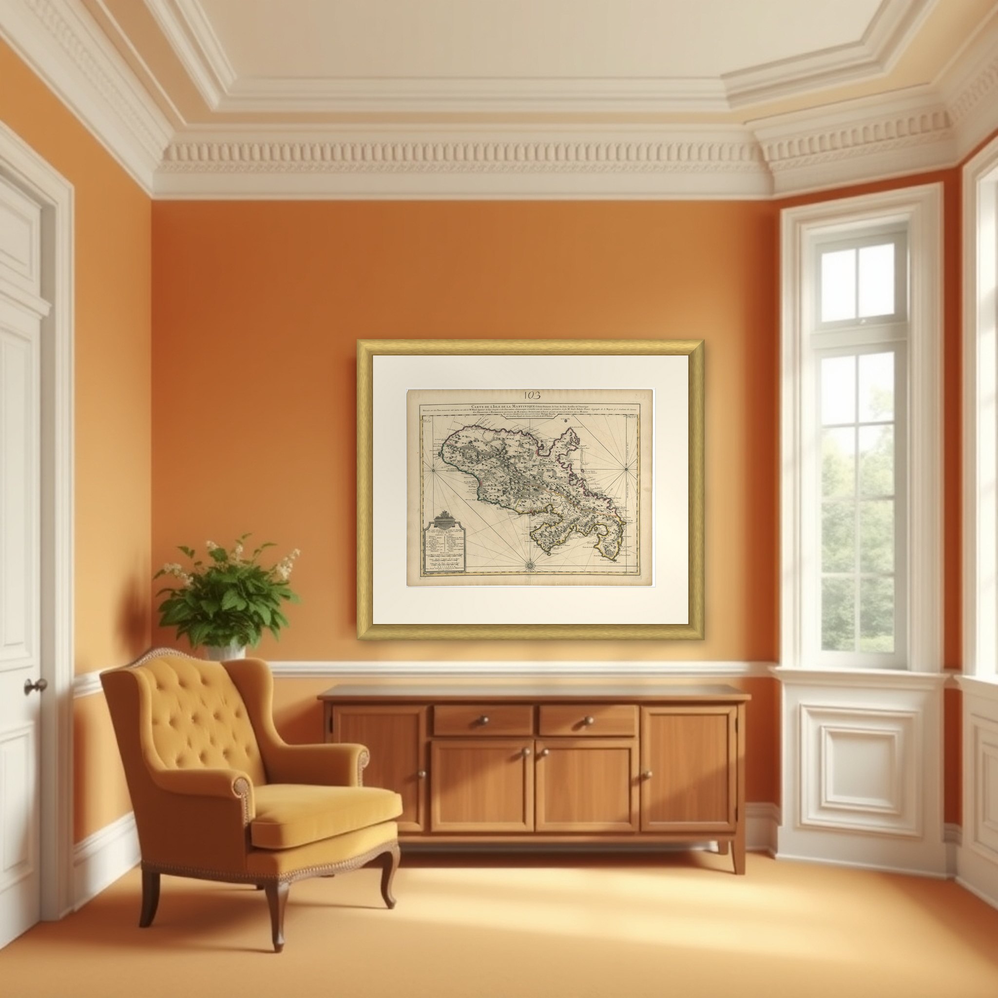
Antique Map of Martinique, Showing Roads, Houses, Sugar Plantations, etc. c.1750

€ 1 500

Original antique · The actual sheet photographed · Certificate of authenticity on request · Sold unframed · Worldwide shipping from € 15 (rates)

Date
1750
Sheet size
65.5 × 52.5 cm (25.8 × 20.7 in)
Condition
Good
Reference
BG-12178
What the condition grades mean
Excellent
Bright and clean, with no faults worth mentioning.
Very good
Only light signs of age, such as faint toning.
Good
Normal signs of age for a sheet of this period: toning, some foxing, small marks or neat old repairs.
Fair
Clear faults such as staining, tears or repairs, priced to match.

Every fault we see is written in the condition note, and the whole sheet is shown uncropped in the photos.
About this sheet

Martinique, an original antique map titled "Carte de l'Isle de la Martinique, Colonie Françoise, l'une des Isles Antilles de l'Amérique," published in Amsterdam by Jean Covens and Corneille Mortier around 1750. The sheet is a copper engraving with hand-colored outlines in pink, yellow and green marking the parish divisions.

The island is drawn in great detail, with hachured hills and forests, rivers, roads and the hundreds of houses and sugar plantations scattered across the lowlands. Fort-Royal and its bay lie on the west coast, and capes, bays and anchorages are named all around the shore, which is edged with soundings and reefs. A framed key in the lower left, headed "Explication des Marques," explains the symbols for plantations, churches, mills and batteries, with scales of French and Dutch leagues beneath it. Two compass roses mark the east and west edges and a third sits at the foot. The long title block credits the survey to the plans of an engineer of the king and to the geographer Guillaume Delisle, and names the Comte de Maurepas, Secretary of State for the Navy.

Martinique was to the French what Barbados and Jamaica were to the English, an immensely profitable sugar island, and the map's plantation detail reflects that.

More from Central America & Caribbean

Ask about this sheet

Antique Map of Martinique, Showing Roads, Houses, Sugar Plantations, etc. c.1750
1750 · Ref. BG-12178 · € 1 500
We reply by email, usually within one working day.

Your favorites

Saved in this browser. Email the list to yourself to keep it on any device.

We use your email to send this list and, only if you tick the box and confirm, for occasional new arrivals. Every email has an unsubscribe link. Bartele Gallery, the Netherlands.

Powered by SiteKeys