Maps & PrintsBartele Gallery · Langweer
Home / Antique Maps / Sea Charts

Sea Charts · 18th century

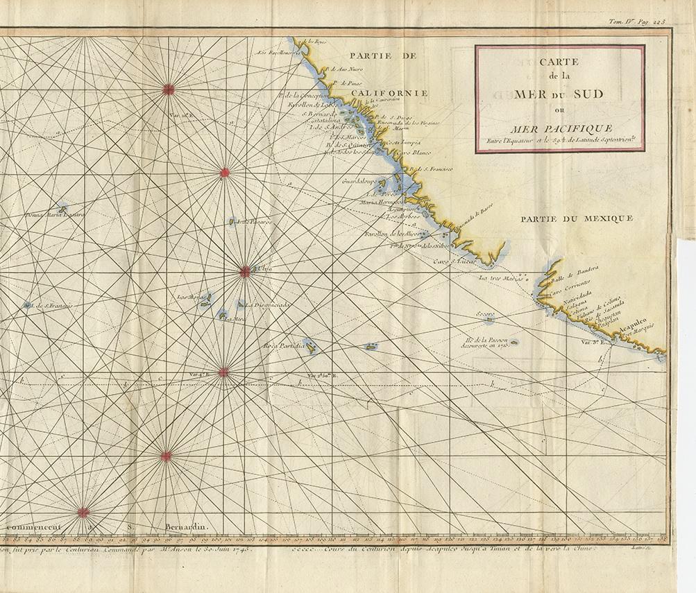
Antique Chart of the Mid-Pacific Ocean by Anson, c.1784

€ 1 500

One of a kind: this is the sheet in the photographs. Ships from Langweer, the Netherlands.

Date
1784
Technique
Engraved
Sheet size
32 × 90 cm (12.6 × 35.4 in)
Condition
Good
Reference
BG-12921

Condition

Two sheets joined together. Original folding lines. General age-related toning, minor wear. Blank verso. Please study images carefully.
About this sheet

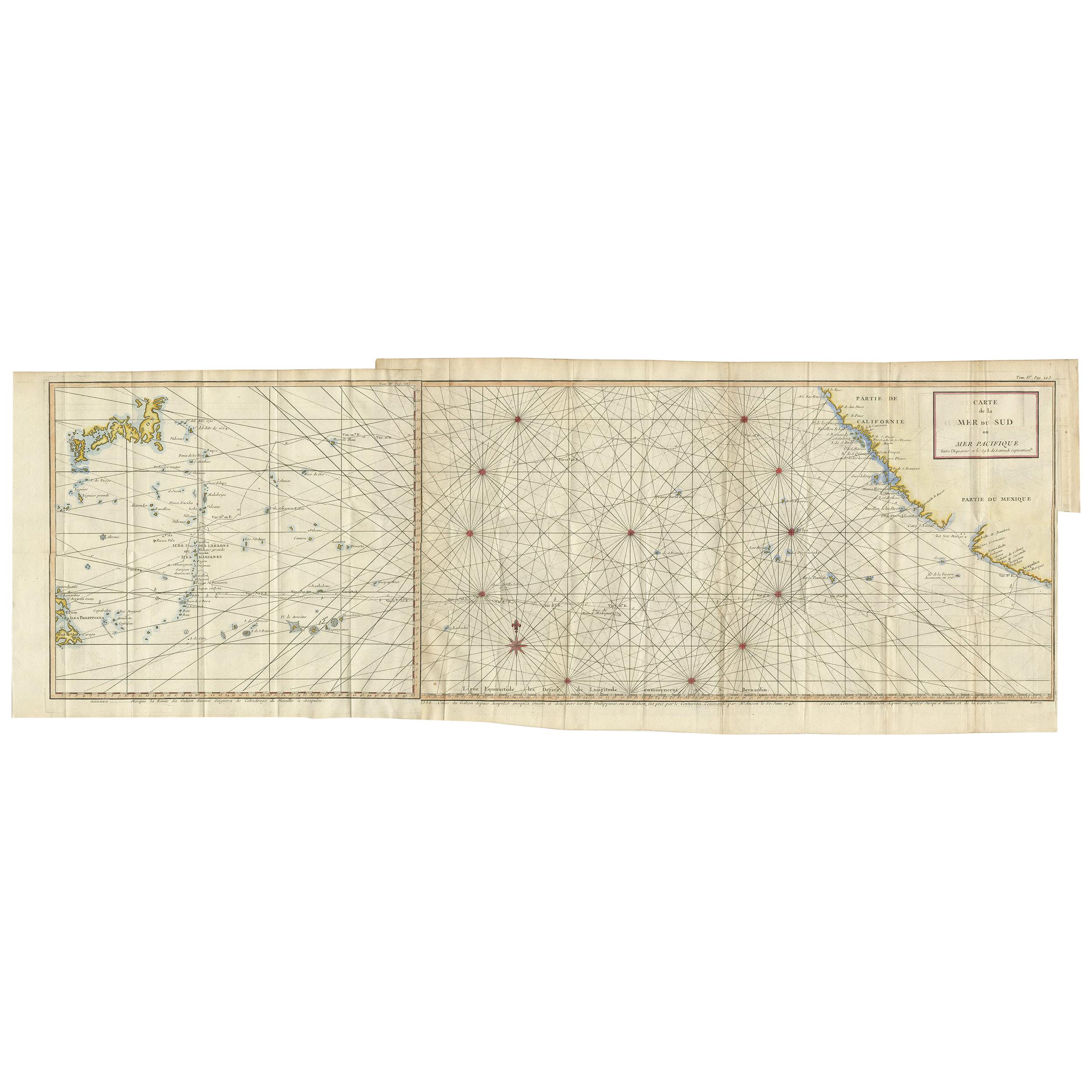
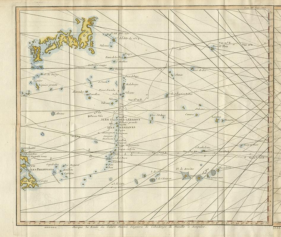
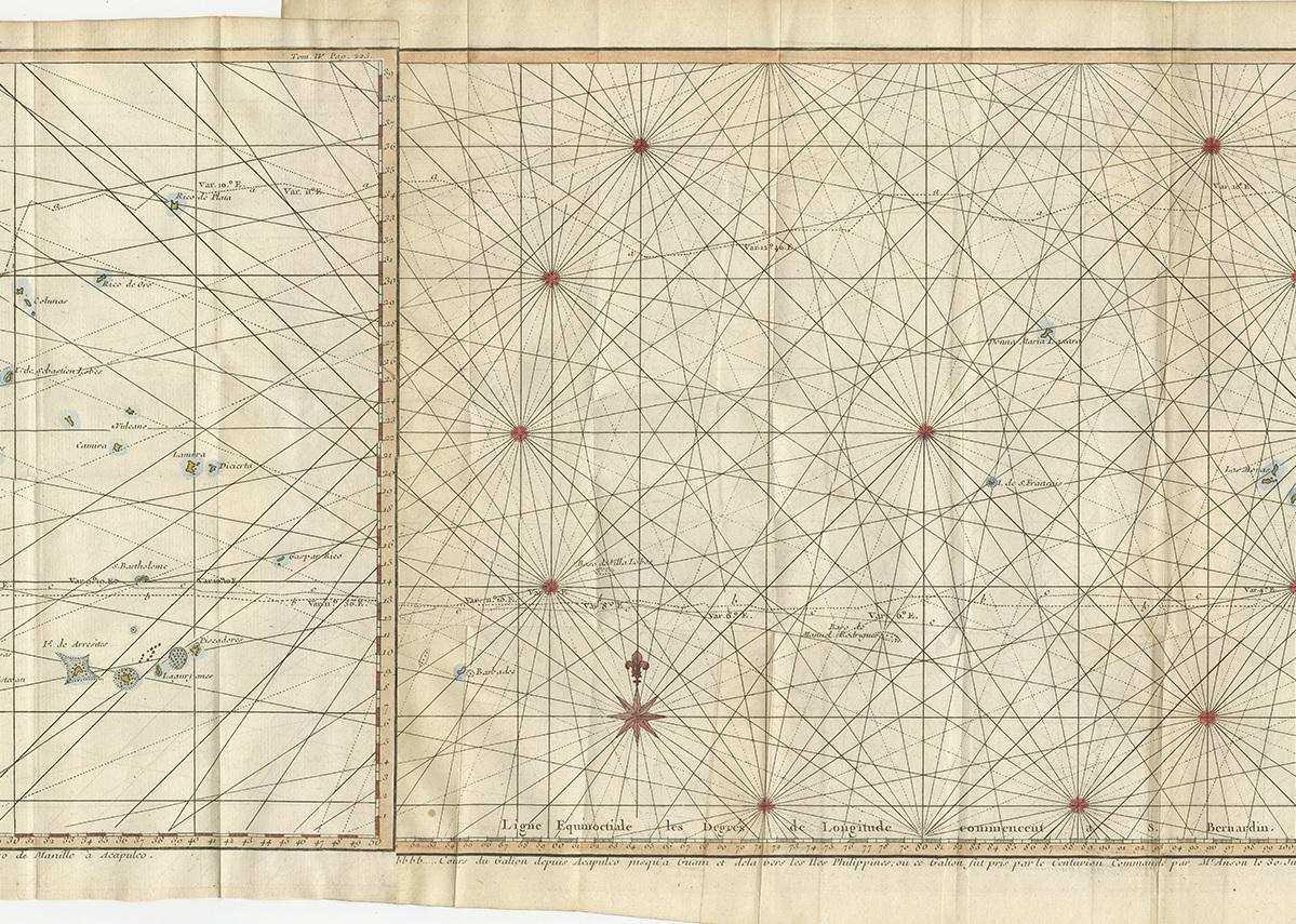
Antique map titled 'Carte de la Mer du Sud ou Mer Pacifique'. Original chart of the mid-Pacific Ocean, includes voyage tracks of Anson’s Centurion and the ship he stalked, the Spanish treasure galleon, Nuestra Señora de la Covadonga. The chart shows the width of the ocean at 39.5° of latitude, flanked by the coasts of California and Mexico to the east and the Philippines and Japan to the west. A few islands are included on the chart, but the main draw are the three ships’ tracks that dot the waters. Route “a” is that of the Covadonga from Manila to Acapulco, “b” is the Covadonga on its way back to Manila, and “c” is the Centurion. Where track “b” meets the Cabo Espiritu Santo of the Philippines is where the battle with Anson took place. Published by G. Anson, circa 1784.

More from Sea Charts

Ask about this sheet

Antique Chart of the Mid-Pacific Ocean by Anson, c.1784
1784 · Ref. BG-12921 · € 1 500
We reply by email, usually within one working day.