16th-Century Map of the Ottoman Empire and Near East: Turcici Imperii Descriptio
€ 1 600
Original antique · The actual sheet photographed · Certificate of authenticity on request · Sold unframed · Worldwide shipping from € 15 (rates)
Sheet size
38 × 50 cm (15.0 × 19.7 in)
Condition
Good
Reference
BG-14042-2
What the condition grades mean
Excellent
Bright and clean, with no faults worth mentioning.
Very good
Only light signs of age, such as faint toning.
Good
Normal signs of age for a sheet of this period: toning, some foxing, small marks or neat old repairs.
Fair
Clear faults such as staining, tears or repairs, priced to match.
Every fault we see is written in the condition note, and the whole sheet is shown uncropped in the photos.
Condition
The map has been professionally cleaned and stabilized, preserving its historical integrity. Minor residual foxing is present in areas, and a centerfold tear has been expertly repaired and reinforced. The engraving remains clear, with sharp details.
About this sheet
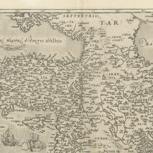
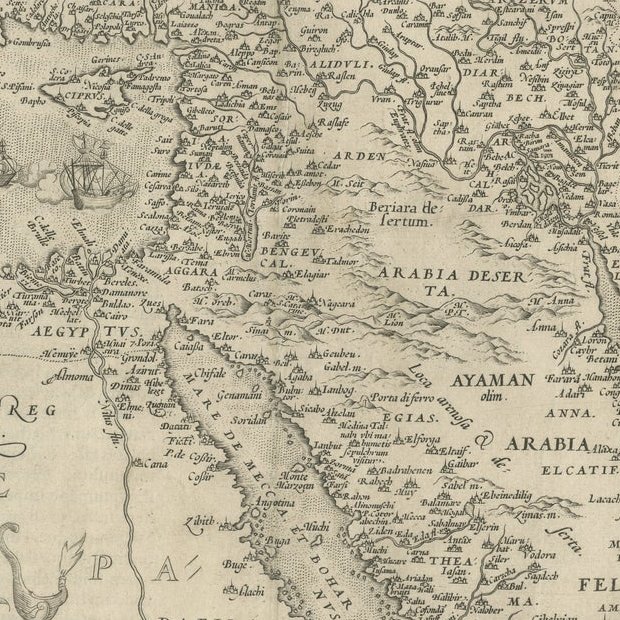
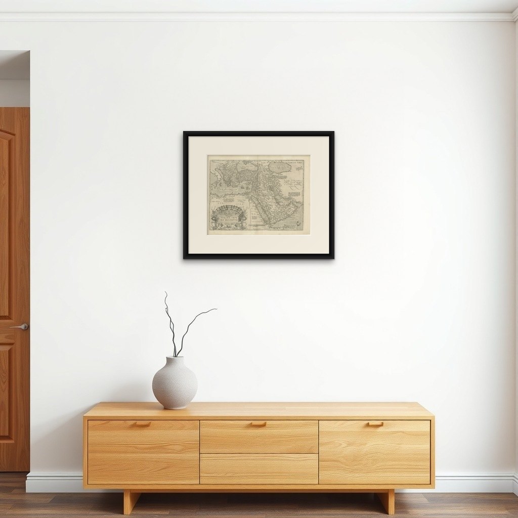
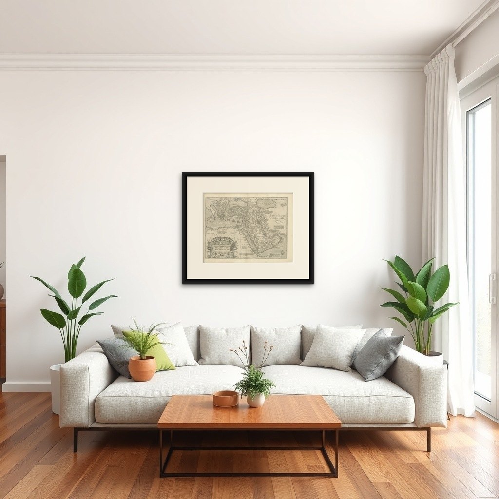
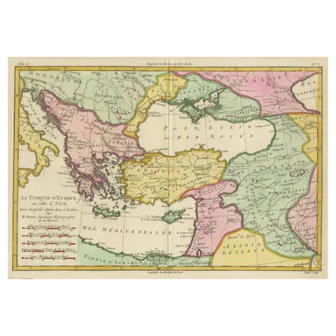
This rare copperplate engraving, Turcici Imperii Descriptio, is an original map from Abraham Ortelius's monumental atlas Theatrum Orbis Terrarum, first published in 1571. It depicts the Ottoman Empire and Persia, extending from the Mediterranean to the Arabian Peninsula, the Red Sea, and the Caspian Sea. Major cities such as Constantinople, Baghdad, and Mecca are noted, showcasing the power and scope of the Ottoman and Safavid empires during the 16th century.
The map is adorned with a large, intricately designed cartouche featuring Renaissance ornamentation, exemplifying Ortelius’s skill in blending art and geography. This is an early impression from the first plate, a highly sought-after version of this map.
Condition report: The map has been professionally cleaned and stabilized, preserving its historical integrity. Minor residual foxing is present in areas, and a centerfold tear has been expertly repaired and reinforced. The engraving remains clear, with sharp details throughout.
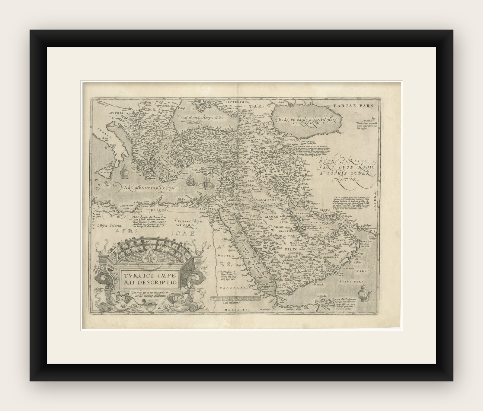
Framing tip: To showcase its historical and artistic value, use acid-free archival matting and UV-protective glass. A gilded frame with ornate detailing would complement the Renaissance style of the map and enhance its decorative appeal. Display in a controlled environment to maintain its condition.
This map, with its artistic cartouche and historical importance, is a treasure for collectors of early cartography, Ottoman history, or Renaissance-era artifacts.