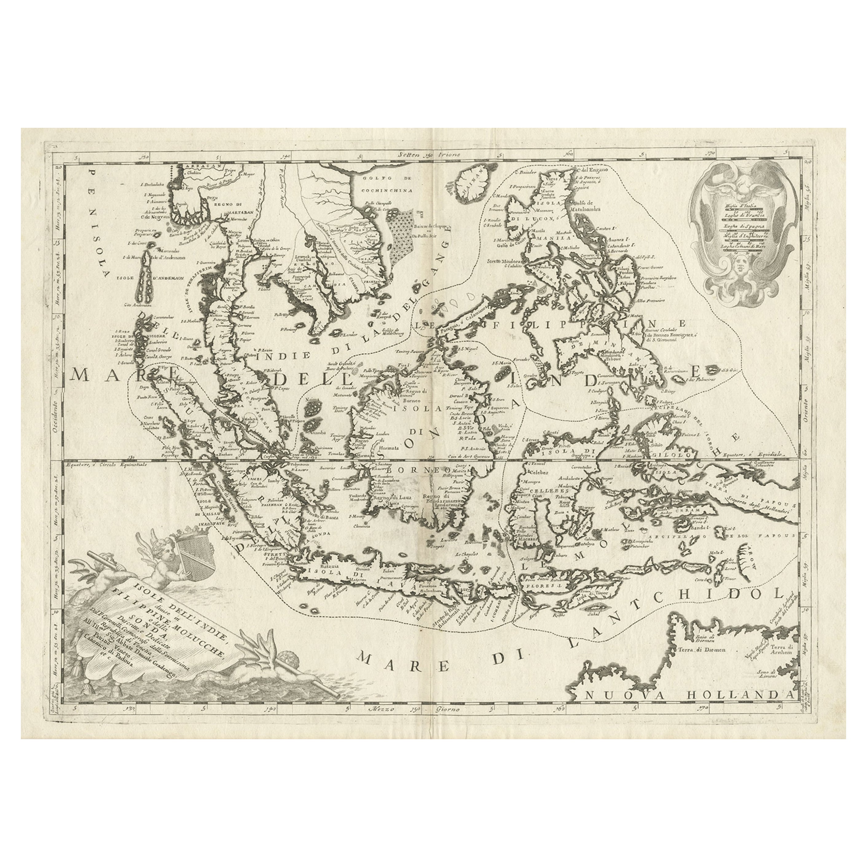
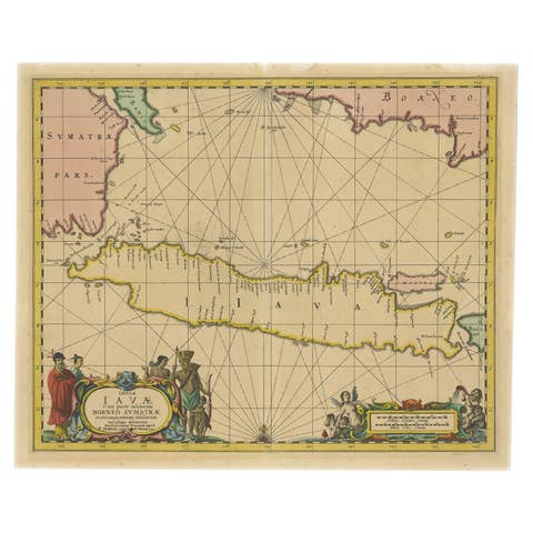
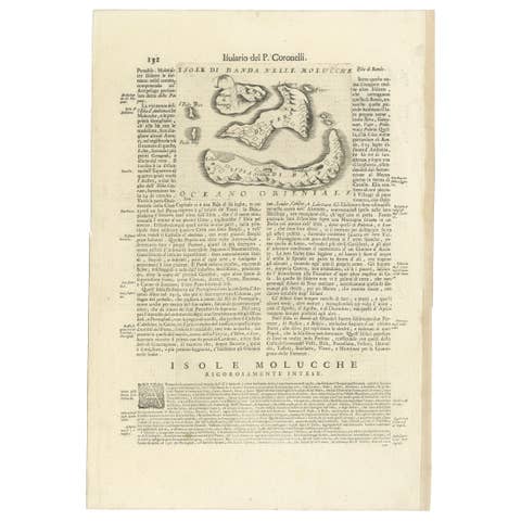
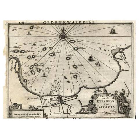
Original Antique Map of the Philippines, Malaysia, Indonesia, Singapore, c.1690
€ 2 250
Original antique · The actual sheet photographed · Certificate of authenticity on request · Sold unframed · Worldwide shipping from € 15 (rates)
Date
1690
Technique
Engraved
Sheet size
49.5 × 70 cm (19.5 × 27.6 in)
Condition
Good
Reference
BGJC-371
What the condition grades mean
Excellent
Bright and clean, with no faults worth mentioning.
Very good
Only light signs of age, such as faint toning.
Good
Normal signs of age for a sheet of this period: toning, some foxing, small marks or neat old repairs.
Fair
Clear faults such as staining, tears or repairs, priced to match.
Every fault we see is written in the condition note, and the whole sheet is shown uncropped in the photos.
Condition
General age-related toning. Small tear in 'Borneo'. Ugly spots outside the image and outside the plate imprint on the edge of the paper. This map will look clean and very decorative in a frame on the wall. Blank verso.
About this sheet
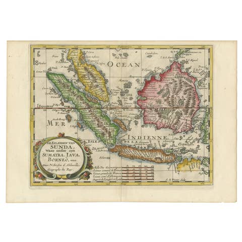
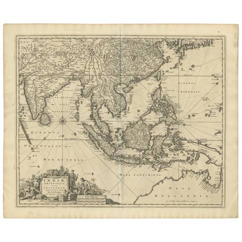
Antique map titled 'Isole dell' Indie, diuise in Filippine, Molucche e della Sonda'.
Old map of the Philippines, Malaysia, Indonesia, Singapore, Northern Australia and contiguous islands. Ornamental cartouche at lower left with title on drape, carried by mermaids. This map originates from 'Atlante Veneto' by Coronelli.
Artists and Engravers: Coronelli was both a cleric and an encyclopedist, with a particular interest in geography and cartography. In 1681 Coronelli served as Royal Cartographer to King Louis XIV in Paris, gaining special access to the most current records on world geography sent in from the colonies, and provided by the French Academy of Sciences. Coronelli returned to Venice in 1684 and founded the Accademia Cosmografica degli Argonauti, a geographical society with membership drawn from the aristocracy and church hierarchy, and a year later he was appointed Cosmographer to the Republic of Venice. He also started a successful publishing career, and was sole author or contributor to over 140 titles and produced several hundred maps, either printed separately or as parts of atlases. By the end of the 17th century, Coronelli was perhaps the most famous map publisher in Europe and received constant requests from his contemporaries for information that would enable them to bring their atlases up to date.