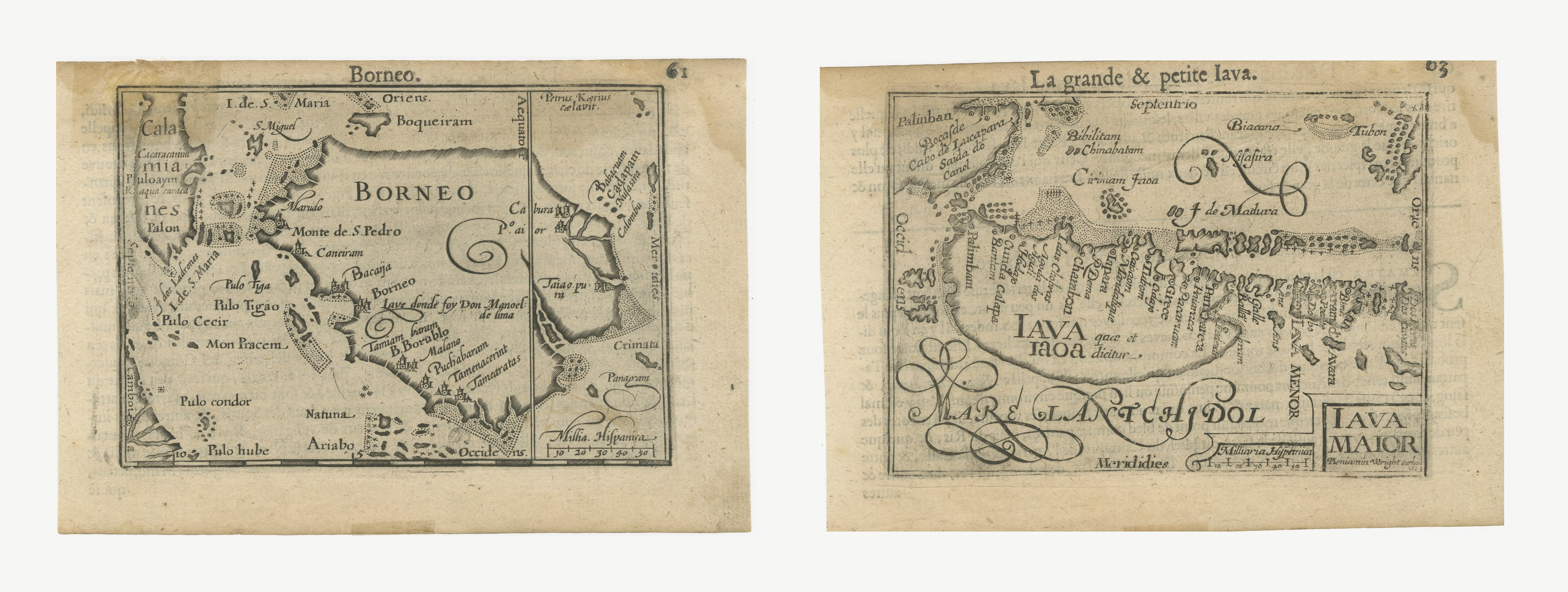
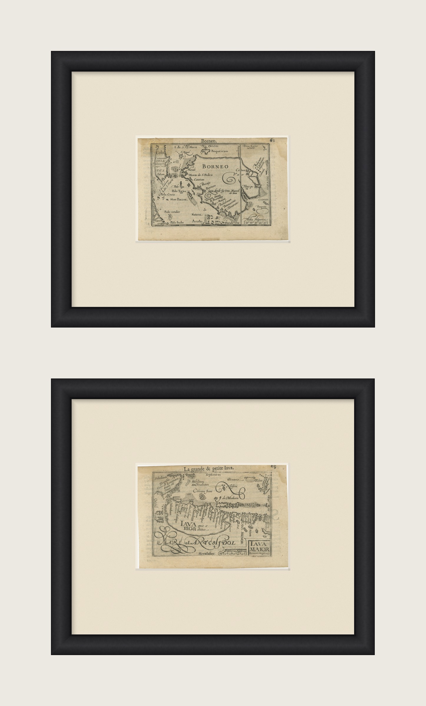
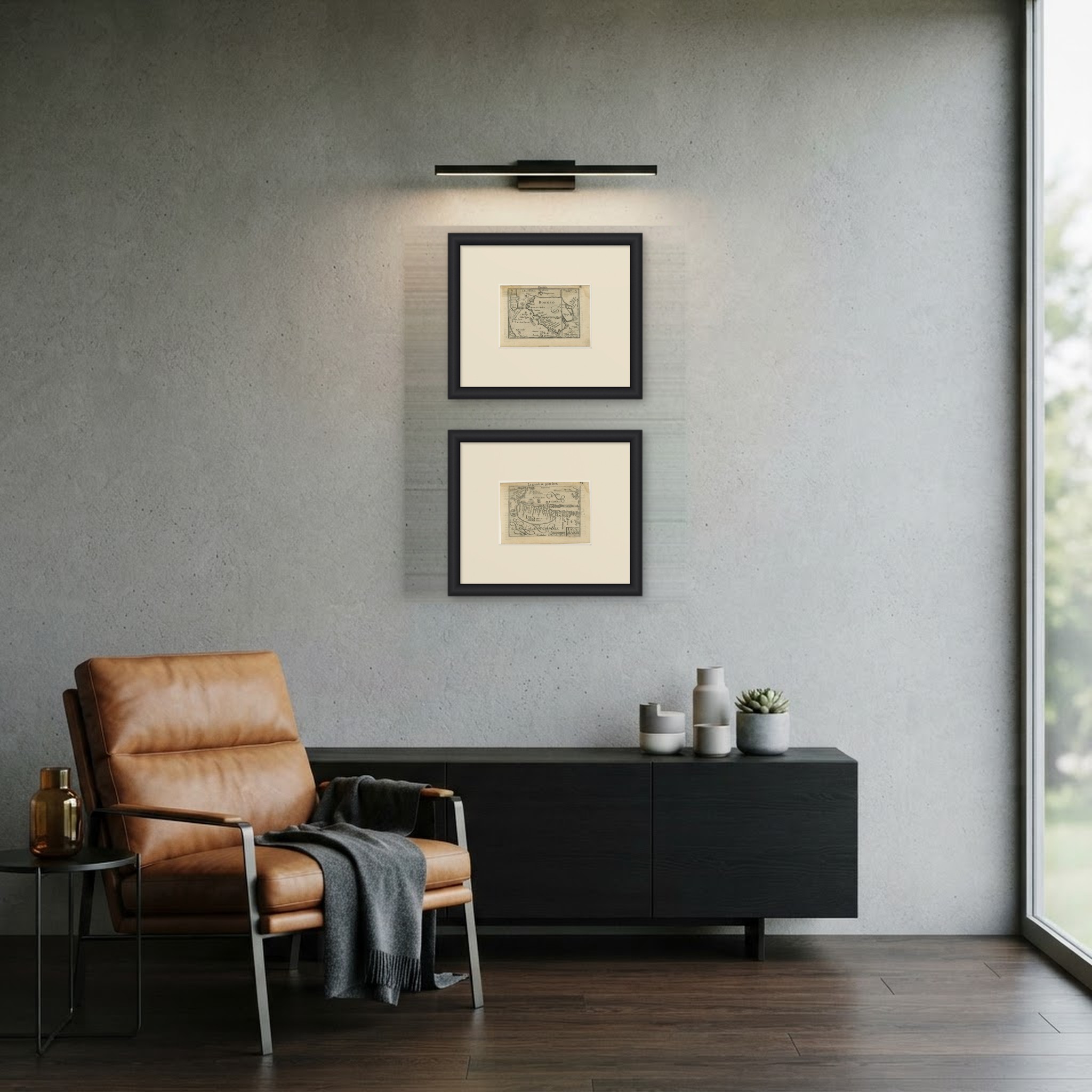
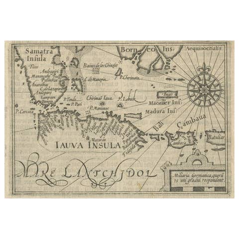
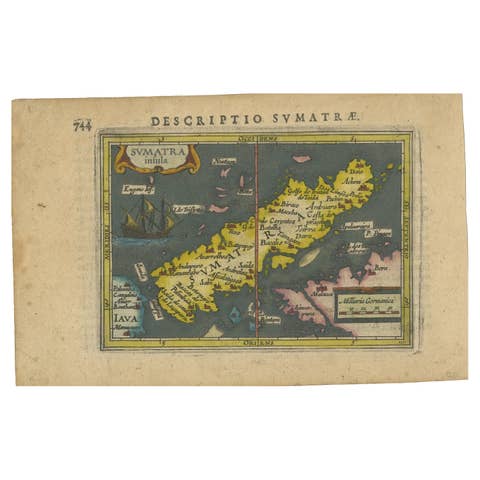
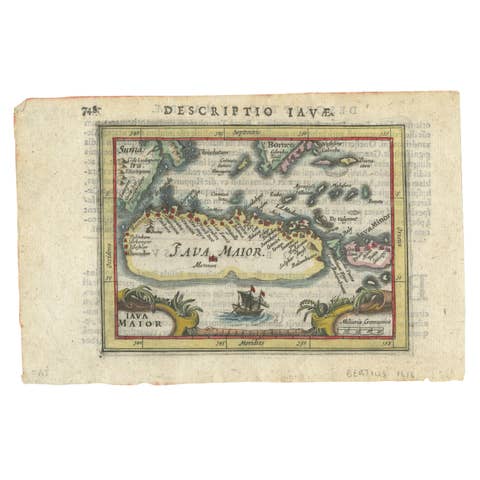
Borneo and Java, Miniature Maps by Petrus Kaerius, Pair, circa 1600
€ 780
Original antique · The actual sheet photographed · Certificate of authenticity on request · Sold unframed · Worldwide shipping from € 15 (rates)
Date
circa 1600
Mapmaker / artist
Pieter van den Keere (Petrus Kaerius), engraver
Publisher
Published for Cornelis Claesz, after Barent Langenes
Technique
Copper Engraving
Coloring
Uncolored
Sheet size
11 × 16 cm (4.3 × 6.3 in)
Condition
Good
Reference
BG-14428
What the condition grades mean
Excellent
Bright and clean, with no faults worth mentioning.
Very good
Only light signs of age, such as faint toning.
Good
Normal signs of age for a sheet of this period: toning, some foxing, small marks or neat old repairs.
Fair
Clear faults such as staining, tears or repairs, priced to match.
Every fault we see is written in the condition note, and the whole sheet is shown uncropped in the photos.
Condition
Noticeable uneven toning on some sheets. Marked handling soiling along the edges of both sheets. Light foxing in the margins of both sheets. Slight wear at the corners of both sheets.
About this sheet
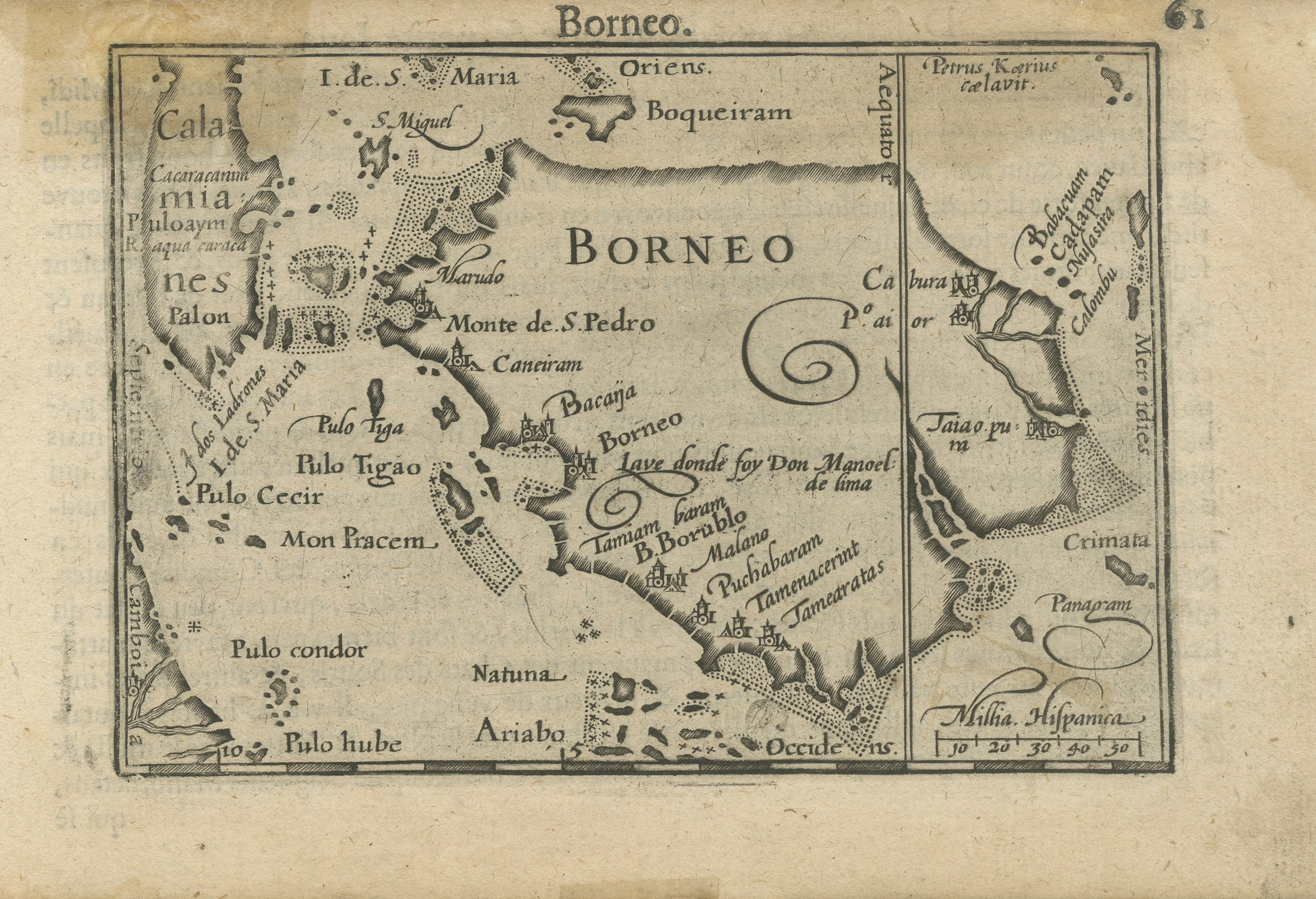
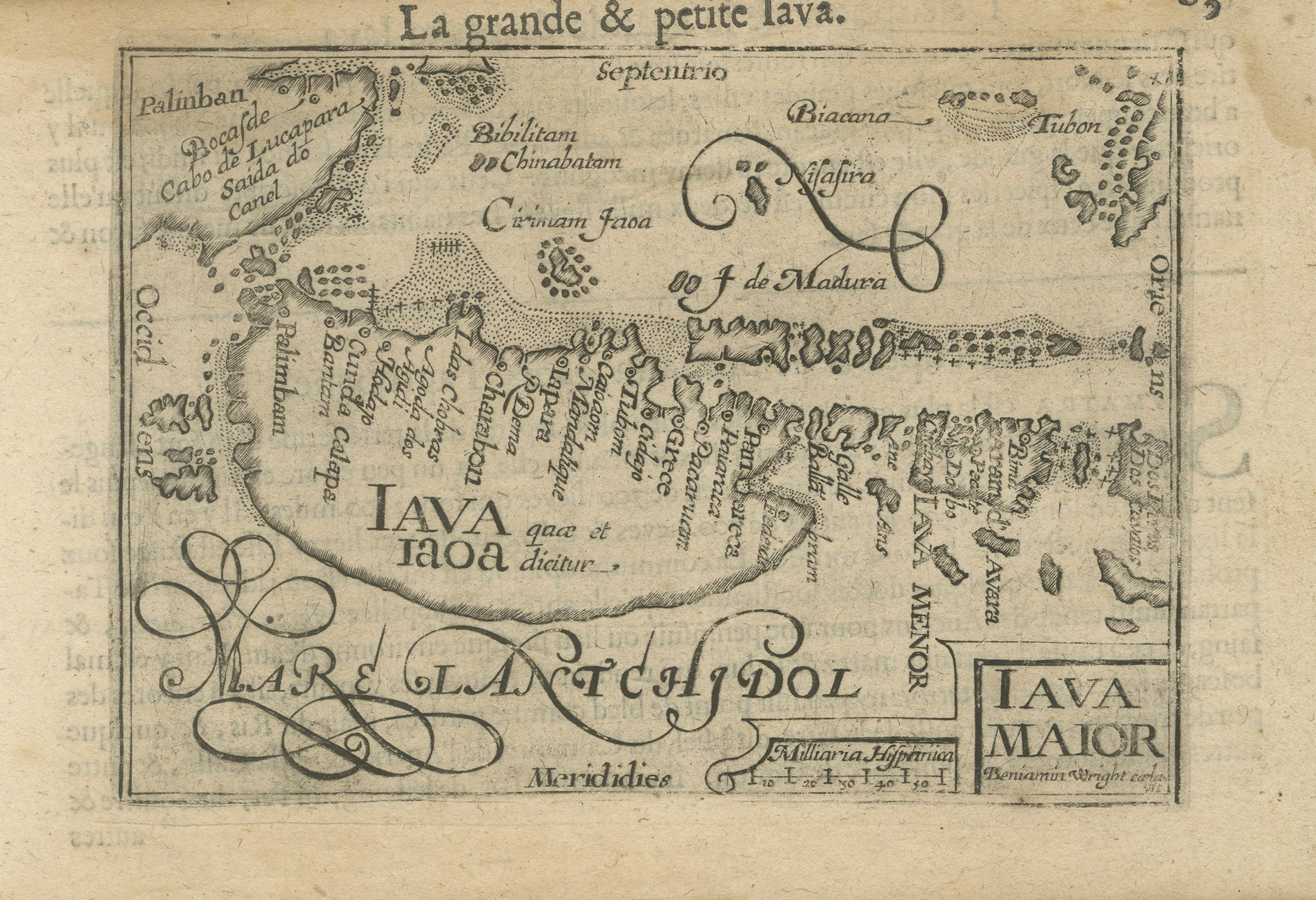
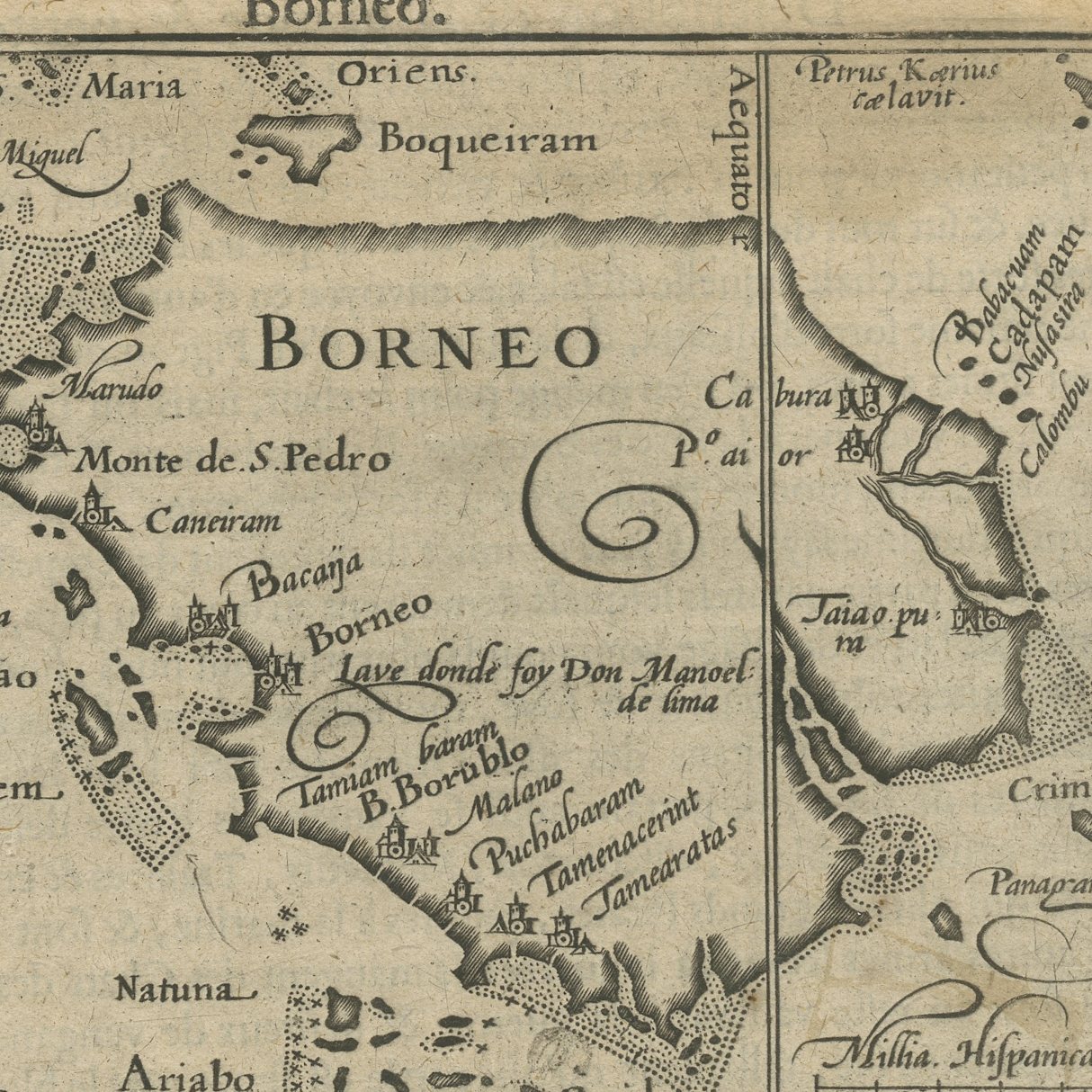
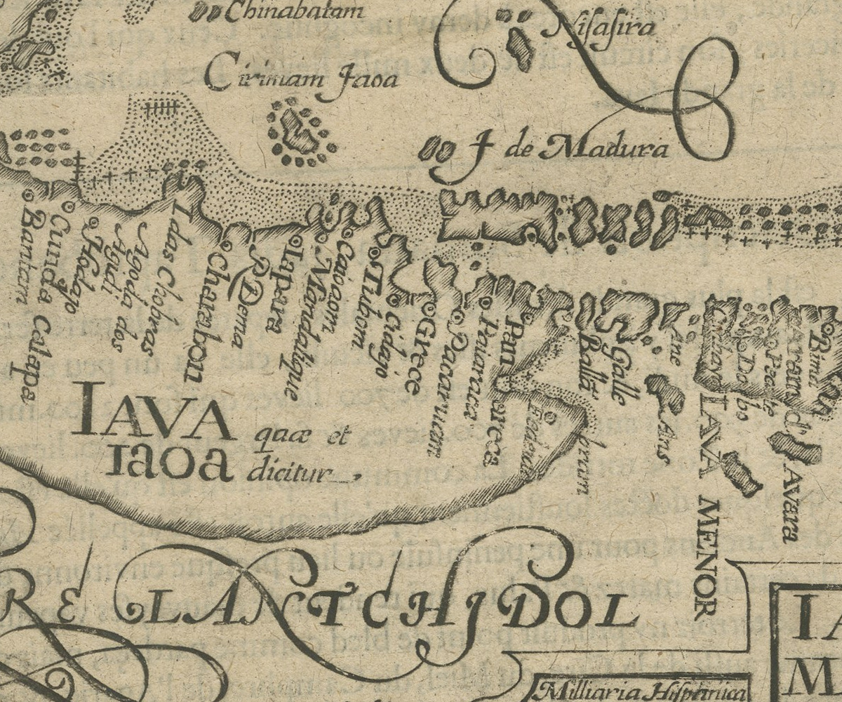
A matched pair of original antique miniature maps of the two greatest islands of the Indonesian archipelago, sold together and not separately. Both were engraved on copper by Pieter van den Keere, who signed himself Petrus Kaerius and whose name is lettered inside the frame of the Borneo plate. Both are small sheets with letterpress text on the verso, and both carry their page numbers, 61 and 63, so they stood within a few leaves of one another in the same book. They are two original sheets sold together as one lot, and the set is never split.
The Borneo sheet is titled simply Borneo above the plate, with the engraver's name Petrus Kaerius caelavit lettered inside the frame at the right and the word Oriens across the top; the island fills the sheet with Boqueiram, Monte de San Pedro, Cameram and Bacaja named along its coasts, the Natuna islands and Pulo Condor to the west, and Mindanao at the upper right. The page is numbered 61. The Java sheet is titled La grande et petite Iava above the plate and carries IAVA quae et dicitur IAVA MAIOR in flowing engraved script across the island, with the sea south of it lettered MARE LANTCHIDOL and the ports of Palinban, Bibilitam, Chinabatam, Biacana and Tubon named along the north coast; Madura stands at the right and the page is numbered 63.
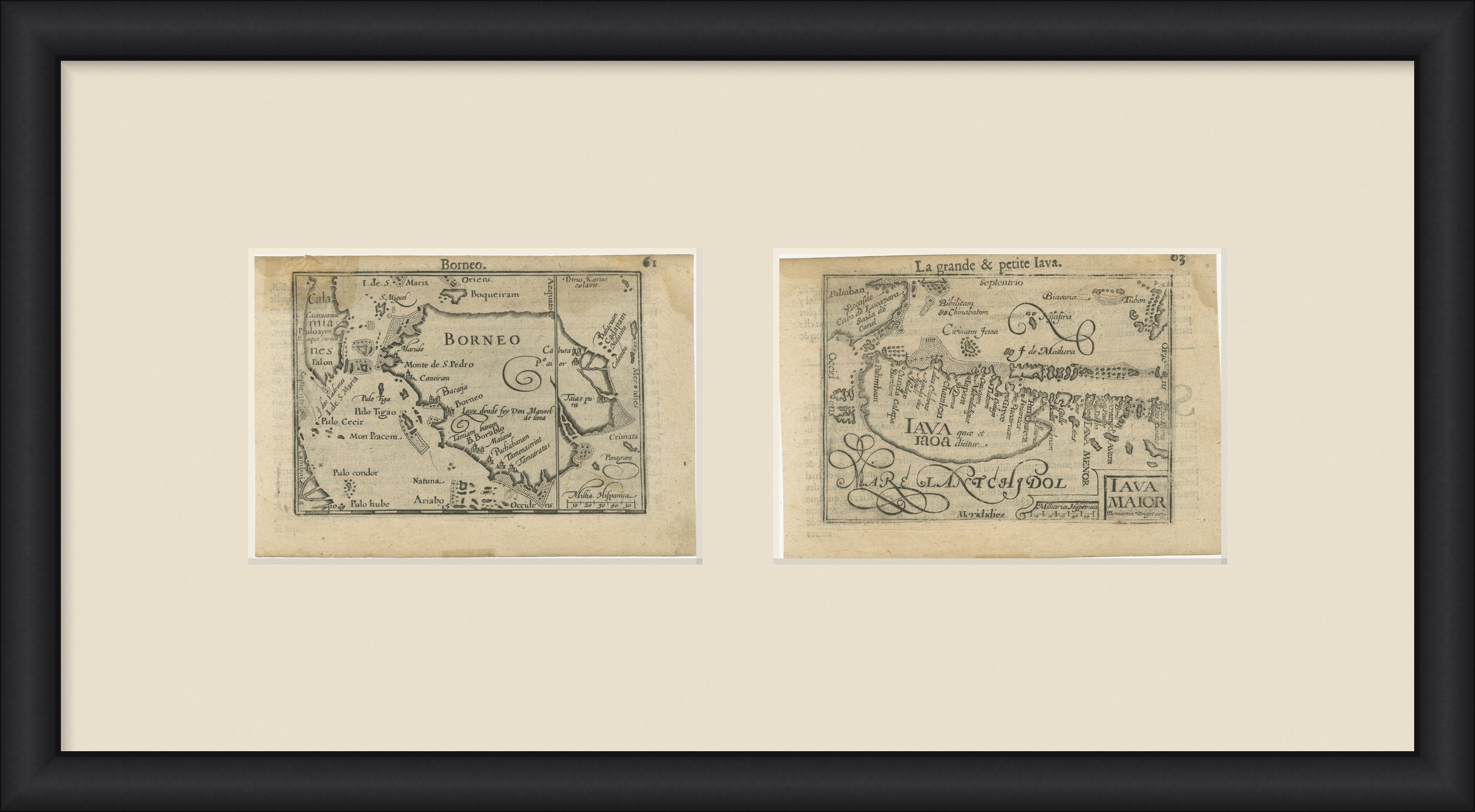
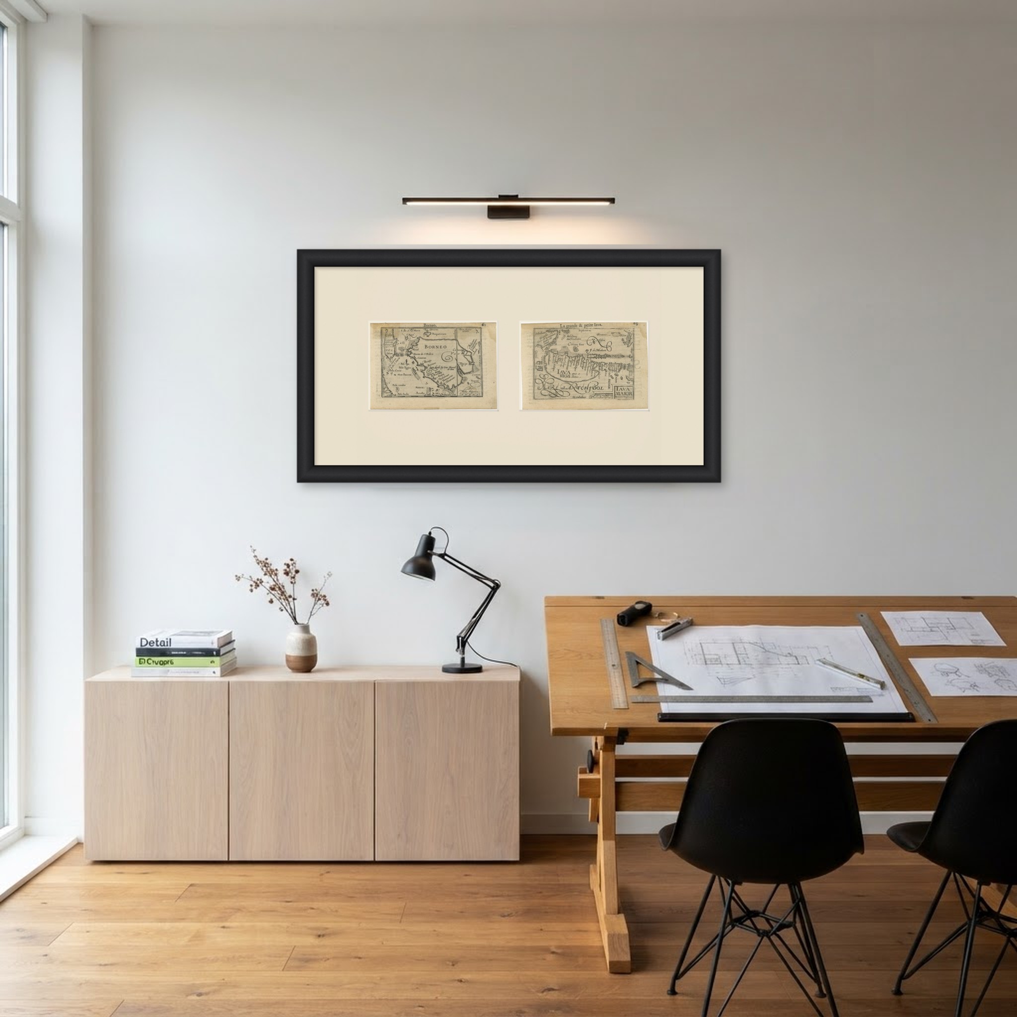
These miniature maps were engraved for the pocket atlas that Barent Langenes published at Middelburg in 1598 as the Caert-Thresoor, the smallest and one of the most influential atlases of its day. Cornelis Claesz of Amsterdam took it over and reissued it in Latin, French and other languages through the following decades, with text by Petrus Bertius. The Borneo plate is generally held to be the first separately printed map of that island. Van den Keere was Jodocus Hondius's brother in law and one of the finest engravers of the Dutch golden age. These are among the earliest printed maps of the Indonesian islands. Borneo and Java belong together, and the matching format and the consecutive page numbers make the pairing a real one. Framed as a pair with wide mounts they look far more substantial than their size suggests.
Noticeable uneven toning on some sheets. Marked handling soiling along the edges of both sheets. Light foxing in the margins of both sheets. Slight wear at the corners of both sheets.
These are original antique maps, not modern reproductions. This item is sold unframed. Any framed or interior images are shown for presentation and inspiration only, unless the listing explicitly states that the item is sold framed.