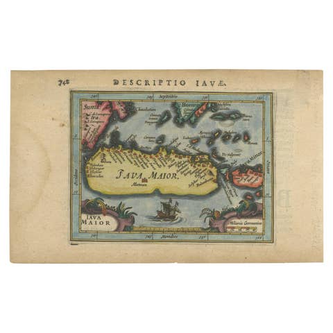
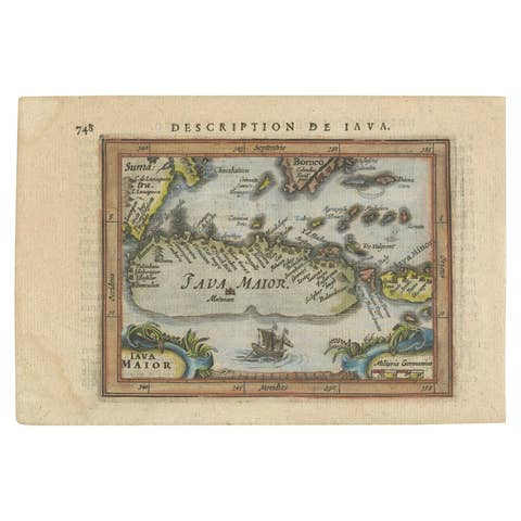
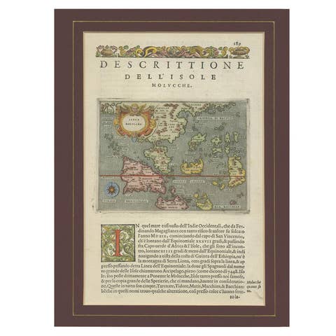
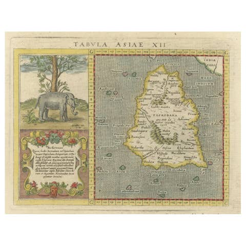
Rare Small Map of Sumatra, Java, Borneo, Macassar, Madura, Bali, 1614
€ 750
One of a kind: this is the sheet in the photographs. Ships from Langweer, the Netherlands.
Date
1614
Technique
Engraved
Sheet size
18 × 24 cm (7.1 × 9.4 in)
Condition
Good
Reference
BG-13098-1
Condition
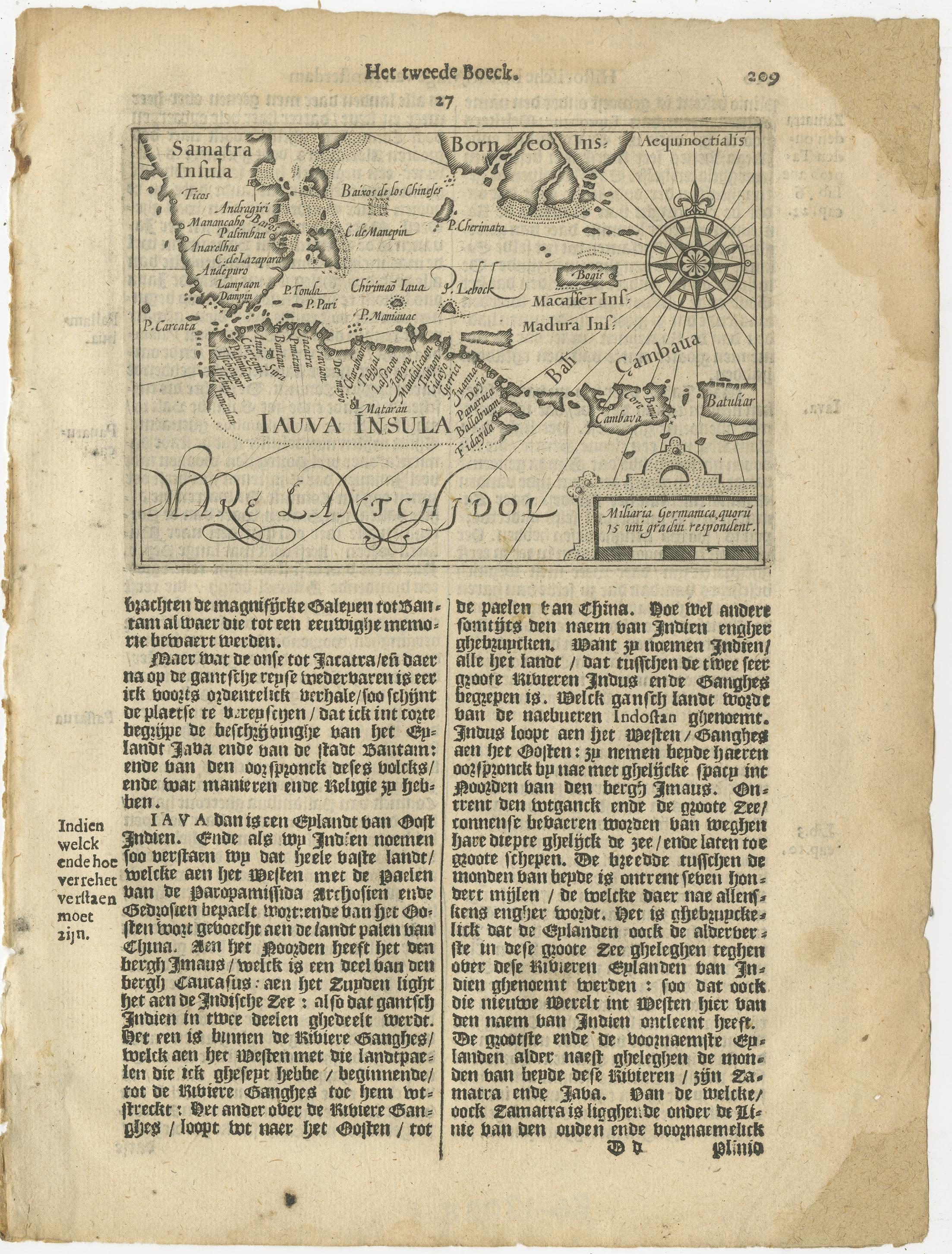
The condition of the small map is very good, Dutch text on verso of the leaf. The area around the map has water damage. Study the image of the larger leaf carefully.
About this sheet
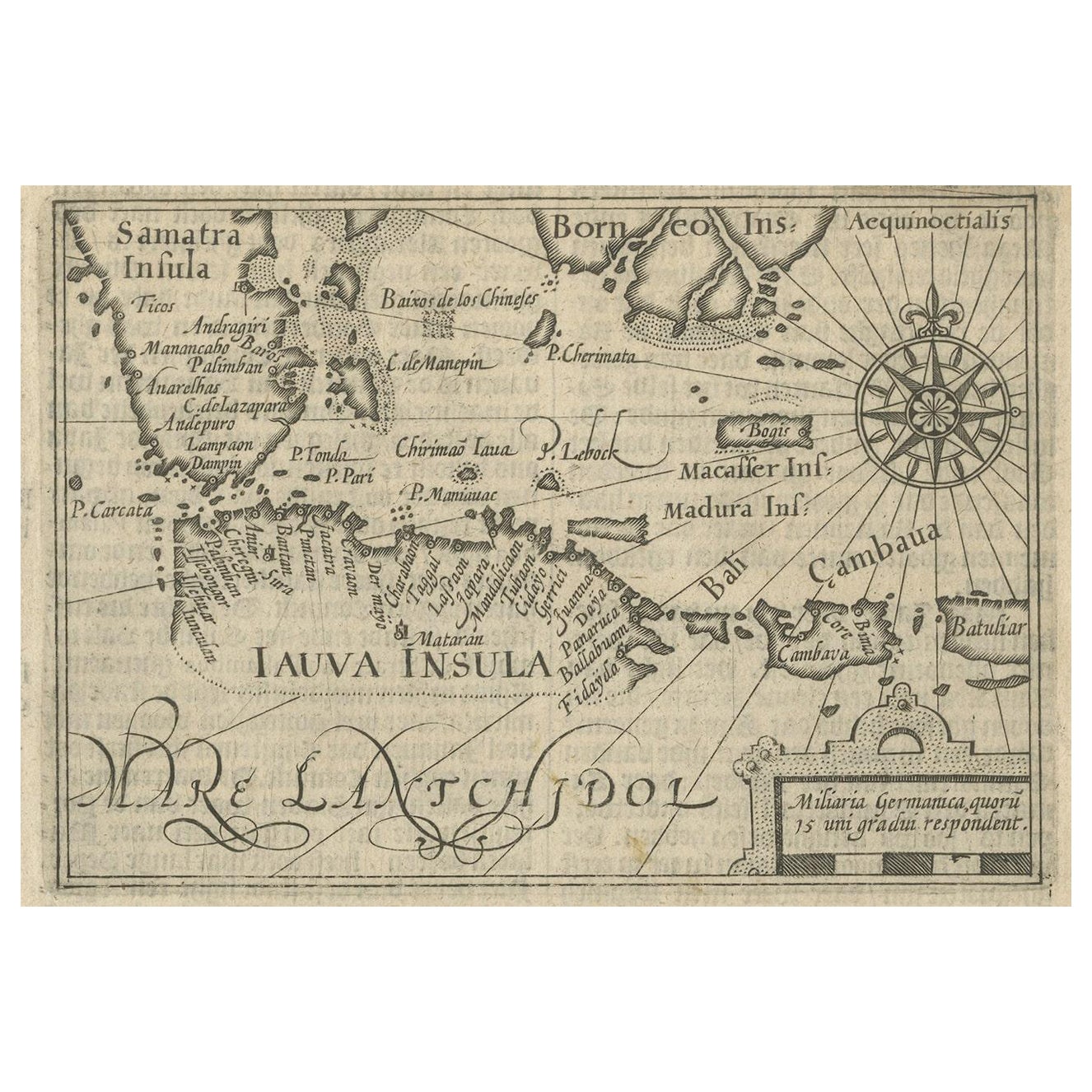
One of the first maps of the Indonesia islands of Java, Bali, Sumbawa etc. in early days of the Dutch Indies. Also showing Banten, Jakarta (Jacatra), Indragiri, Barus Tiku, Palembang, Indramayu, Tegal, Jepara, Kota agung, Bima, Makassar (Celebes/Sulawesi).
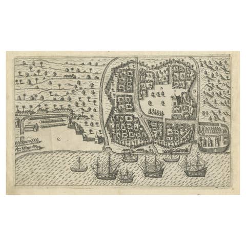
From the Johan Isaac Pontanus & J. Hondius edition of 1614 - 'Historische beschrijvinghe der seer wijt beroemde coop-stadt Amsterdam'- which includes the text of the first voyage around the Cape to the East Indies (including a visit to Madagascar), the fight against the Portuguese on Bantam (West Java), description of Java, etc.
period: 1614 material: paper technique: engraving inscriptiion: Iauva Insula / Samatra Insula / Borneo Insula / Miliaria Germanica quoru 15 uni gradui respondent Anoniem / Anonymous
measurements sheet: 9.5 x 7 inch ( 24x18 cm) measurement map: 5.1 x 3.5 inch ( 13x9 cm )
The condition of the small map is very good, Dutch text on verso of the leaf. The area around the map has water damage. Study the image of the larger leaf carefully.