Maps & PrintsBartele Gallery · Langweer
Home / Antique Maps / Asia / South-East Asia / East Indies

East Indies · 17th century

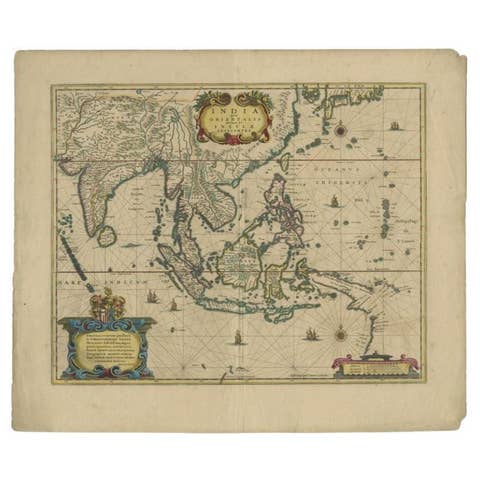
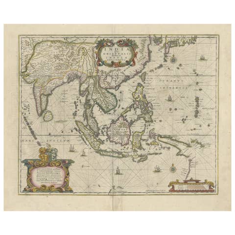
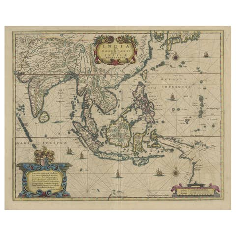
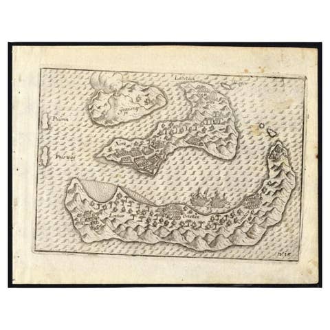
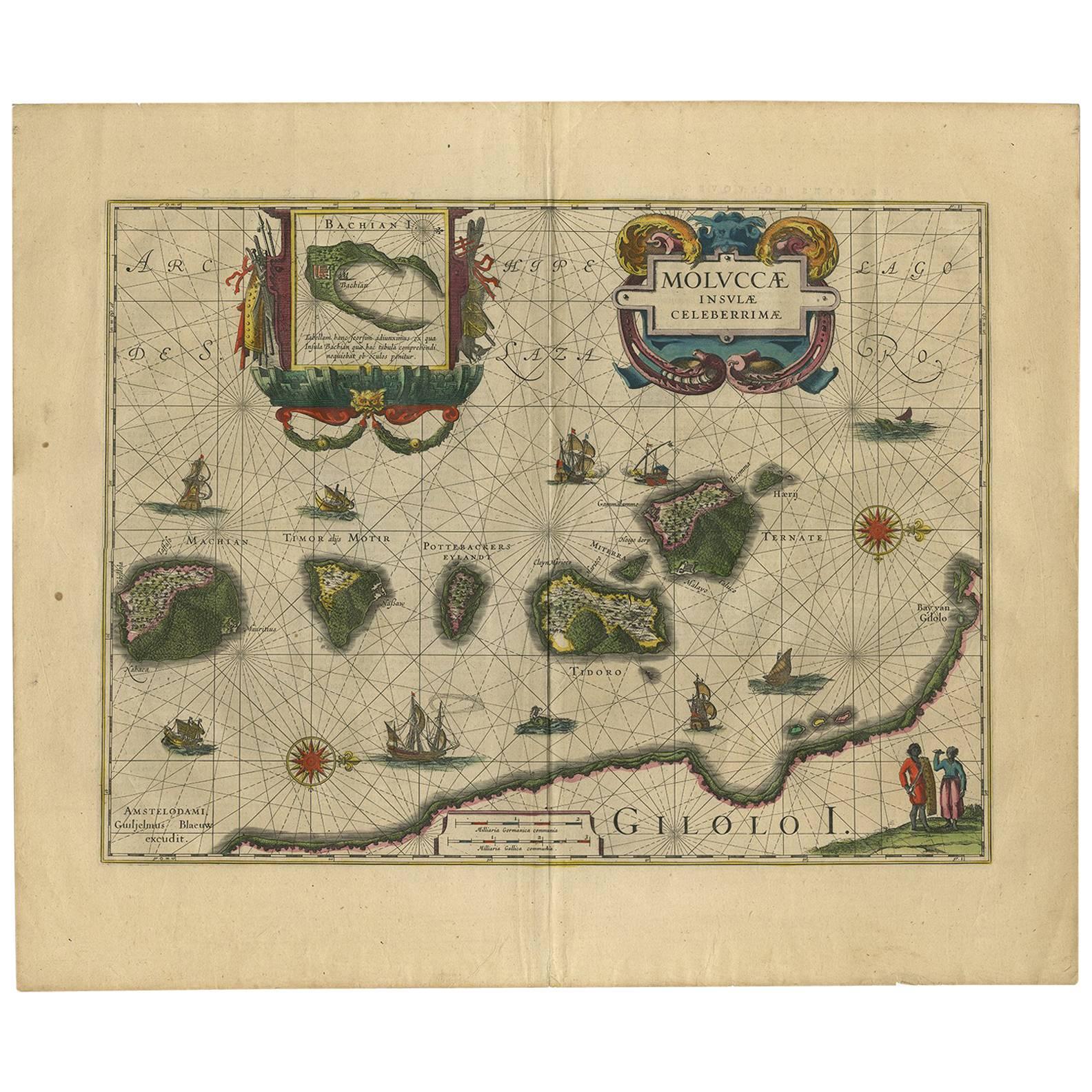
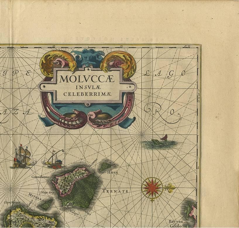
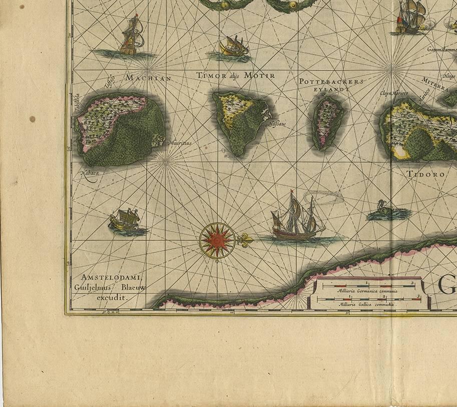
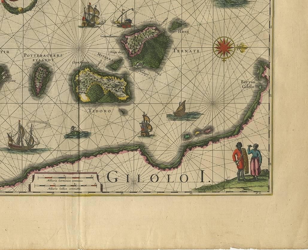
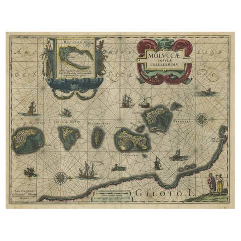
Antique Map of the Spice Islands 'Moluccas', Indonesia by W. Blaeu, circa 1640

€ 1 400

One of a kind: this is the sheet in the photographs. Ships from Langweer, the Netherlands.

Date
1640
Mapmaker / artist
Willem Blaeu (Artist)
Technique
Engraved
Sheet size
50 × 58.5 cm (19.7 × 23.0 in)
Reference
BG-02087

Condition

Very good, given age. General age-related toning and/or occasional minor defects from handling. Please study scan carefully.
About this sheet

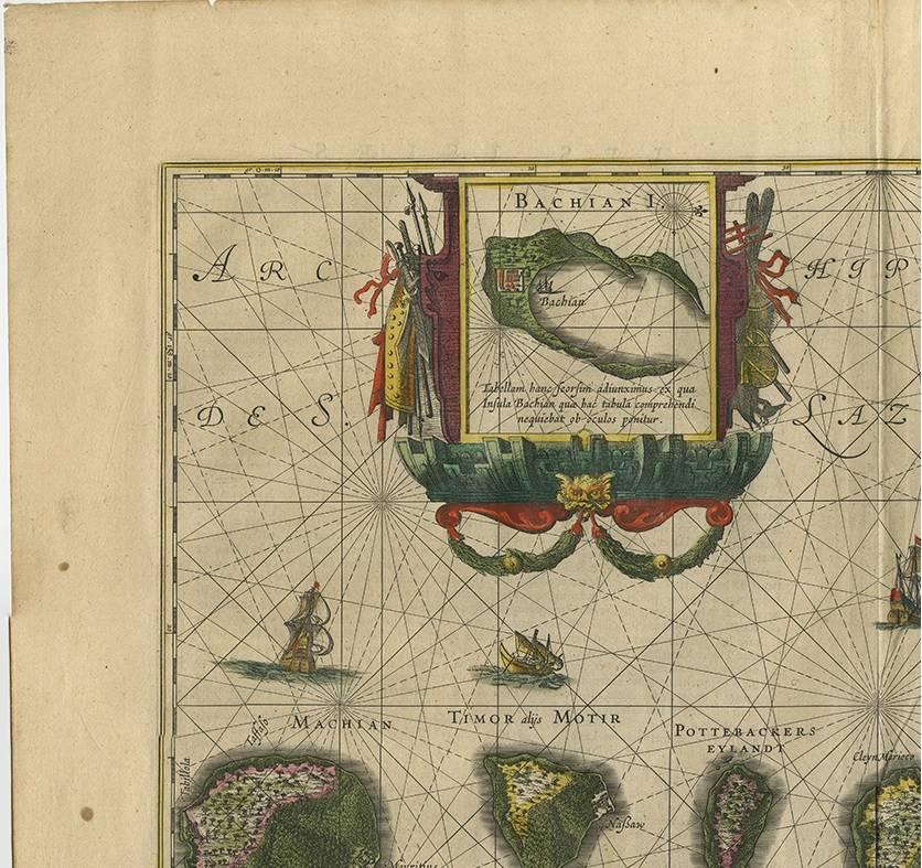
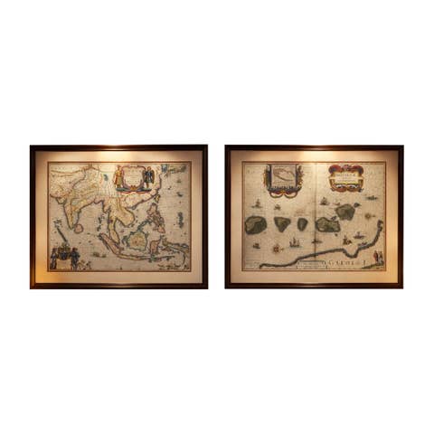
Antique map titled 'Moluccae Insulae Celeberrimae'. Highly decorative antique map of the Spice Islands (Moluccas) published by W. Blaeu (circa 1640). This map features a large inset of the Island of Bachian (Batjan) in an elaborate frame as well as a Moluccan couple in the lower right corner in Europeanized native dress. The seas are filled with both European and local ships, two of which are engaged in battle. Sea monsters and decorative compass two roses are also shown.

More from East Indies

Ask about this sheet

Antique Map of the Spice Islands 'Moluccas', Indonesia by W. Blaeu, circa 1640
1640 · Ref. BG-02087 · € 1 400
We reply by email, usually within one working day.