Maps & PrintsBartele Gallery · Langweer
Home / Antique Maps / Asia / South-East Asia / East Indies

East Indies · 17th century

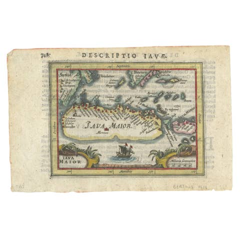
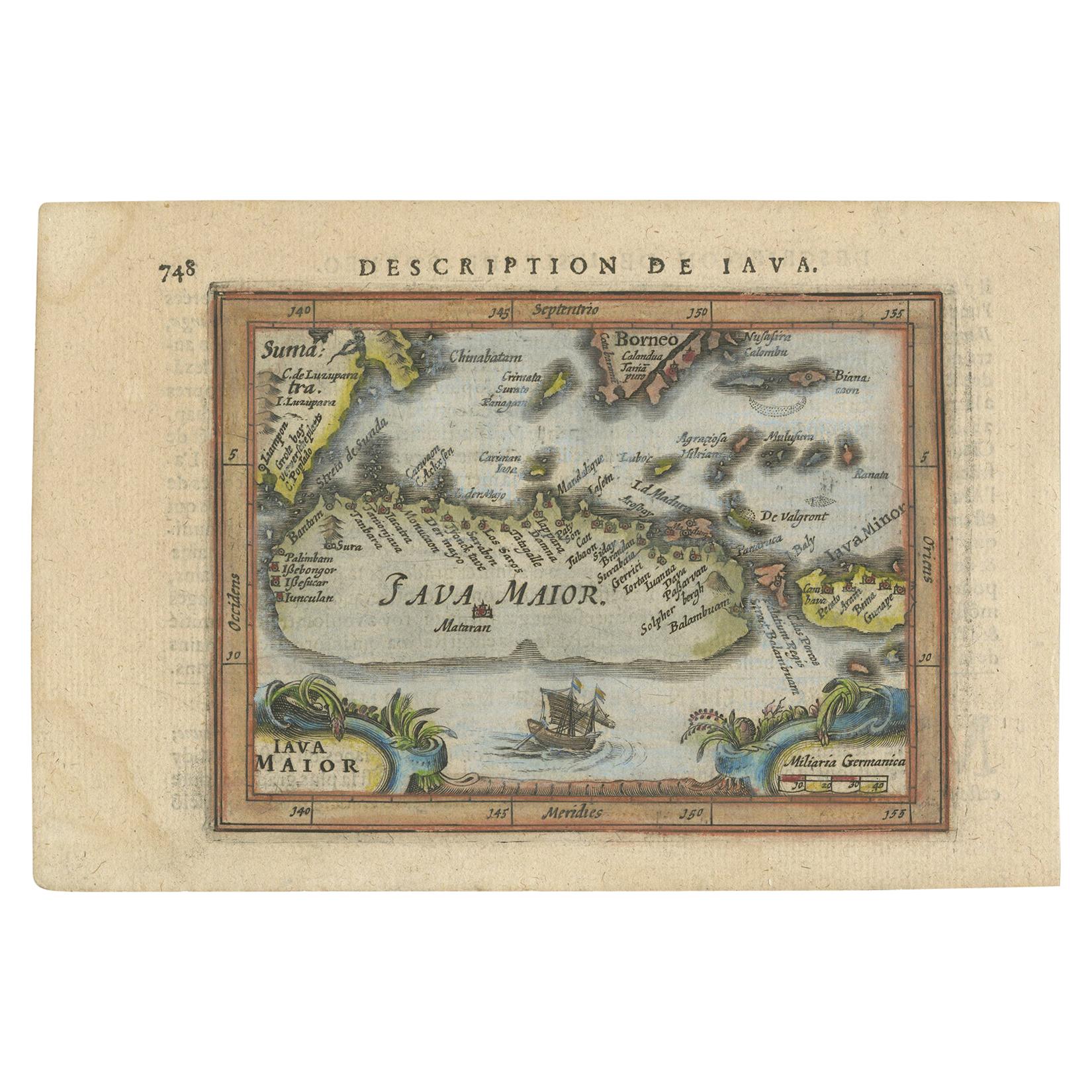
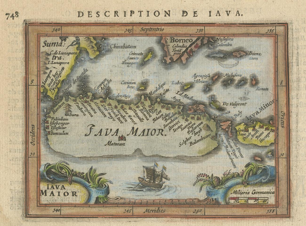
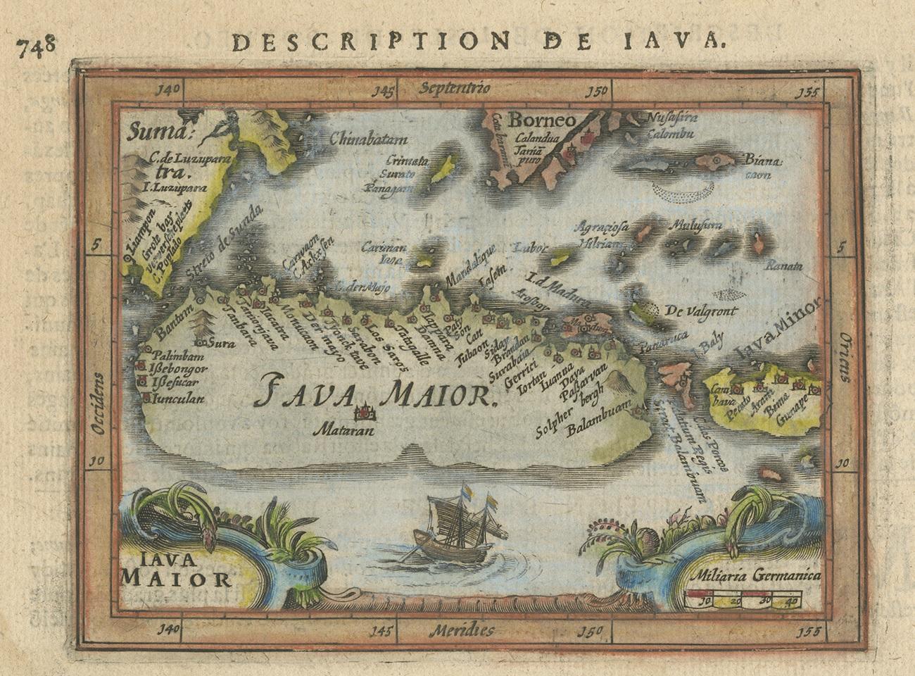
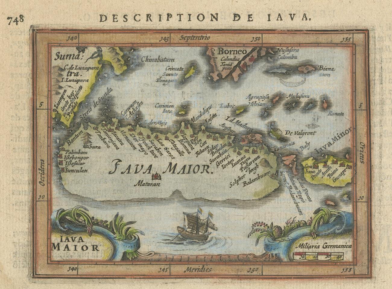
Antique Miniature Map of Java by Bertius/Hondius '1618'

€ 550

One of a kind: this is the sheet in the photographs. Ships from Langweer, the Netherlands.

Date
1618
Sheet size
12.5 × 18 cm (4.9 × 7.1 in)
Condition
Good
Reference
BG-12467

Condition

General age-related toning, small stains in the margins. French text on verso, please study images carefully.
About this sheet

Rare antique miniature map titled 'Iava Maior'. This map shows the northern coastline of Java (Indonesia) with numerous place names, but the southern coastline is entirely conjectural. Engraved by P. Bertius. Published by J. Hondius Jr. in a French edition of 'Tabularum Geographicarum'.

More from East Indies

Ask about this sheet

Antique Miniature Map of Java by Bertius/Hondius '1618'
1618 · Ref. BG-12467 · € 550
We reply by email, usually within one working day.