Maps & PrintsBartele Gallery · Langweer
Home / Antique Maps / Asia / East Asia / Japan

Japan · 17th century

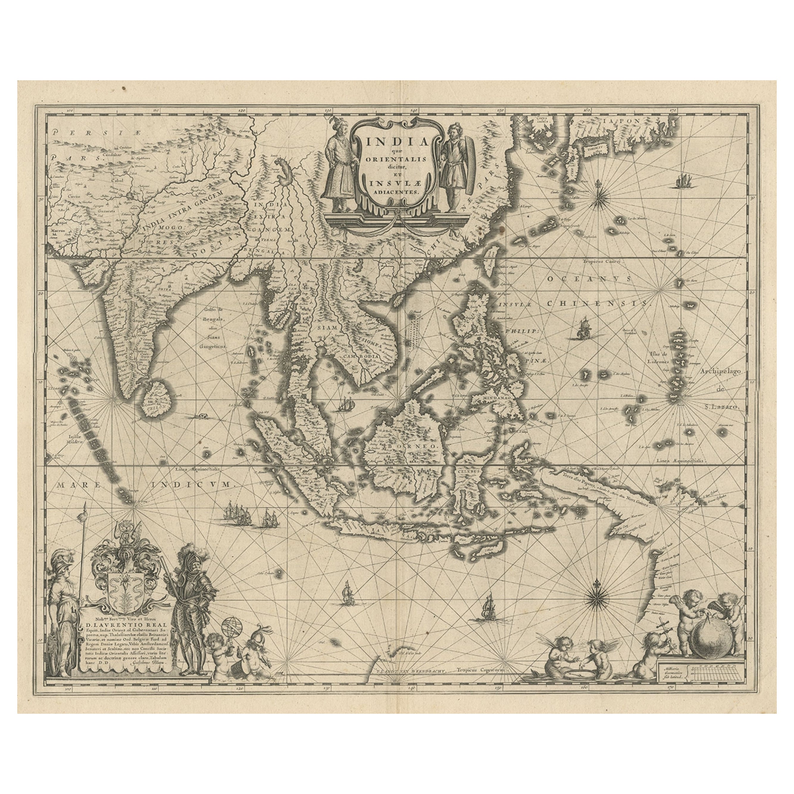
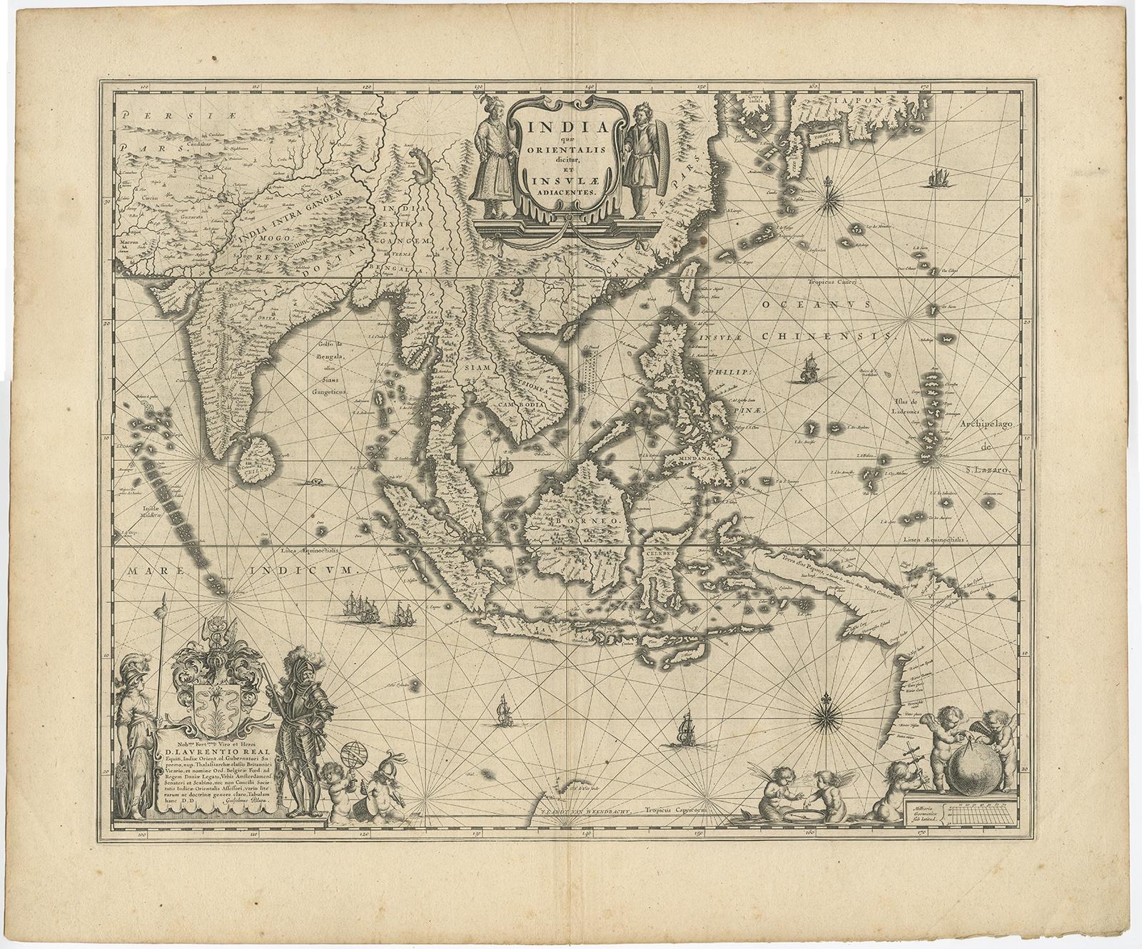
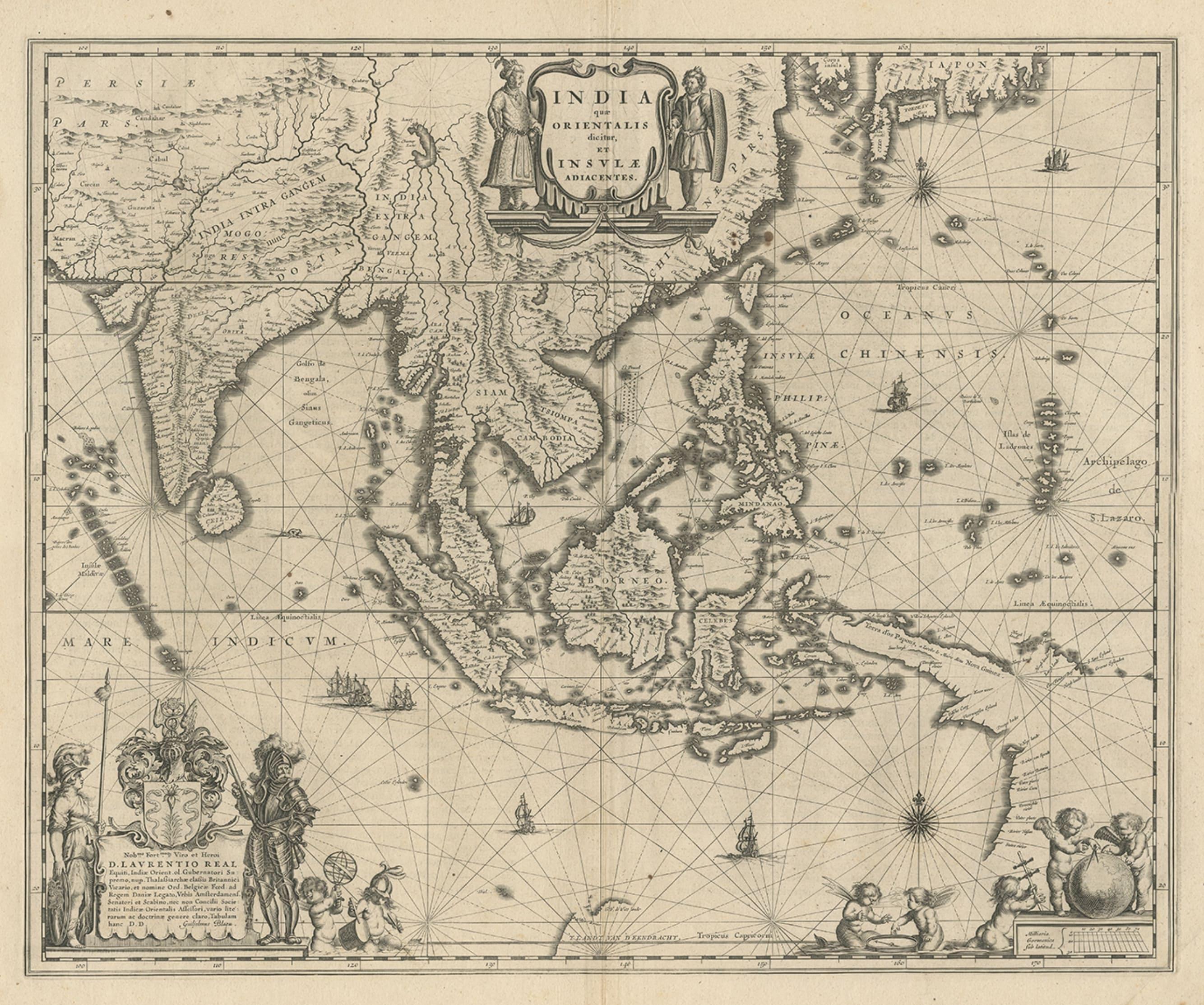
Map of Southeast Asia, Extending from India to Tibet & Japan to New Guinea, 1640

€ 2 650

Original antique · The actual sheet photographed · Certificate of authenticity on request · Sold unframed · Worldwide shipping from € 15 (rates)

Date
1640
Sheet size
50.5 × 60 cm (19.9 × 23.6 in)
Condition
Good
Reference
BG-11303

Condition

General age-related toning. Minor foxing, Latin text on verso. Please review the images for further condition details.

About this sheet

Antique map titled 'India quae Orientalis dicitur et Insulae adiacentes'.

Map of Southeast Asia, extending from India to Tibet to Japan to New Guinea. This map is one of the first to show a number of the early Dutch discoveries in Australia.

Artists and Engravers: Willem Janszoon (or Jansz.) Blaeu (1571 - 1638) was the founder of a large publishing firm that became famous in the field of cartography under the name Blaeu.

More from Japan

Ask about this sheet

Map of Southeast Asia, Extending from India to Tibet & Japan to New Guinea, 1640
1640 · Ref. BG-11303 · € 2 650
We reply by email, usually within one working day.