Antique Maps of Asia
1,096 original sheets
Asia as a Whole 120North Asia 41Central Asia 20West Asia & the Holy Land 320South Asia 153East Asia 153South-East Asia 289
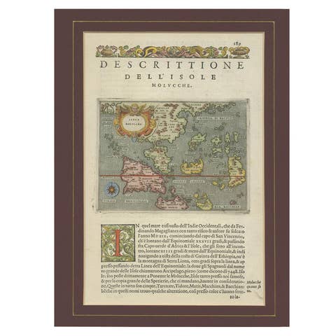
Antique Map of the Moluccas by Porcacchi, circa 1620
1620 · € 720
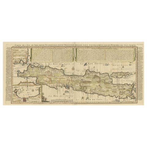
Antique French Map of Java, Indonesia by Chatelain, '1719'
1719 · € 1 914

Antique Map of India and Southeast Asia by Sanson '1654'
1654 · € 1 095
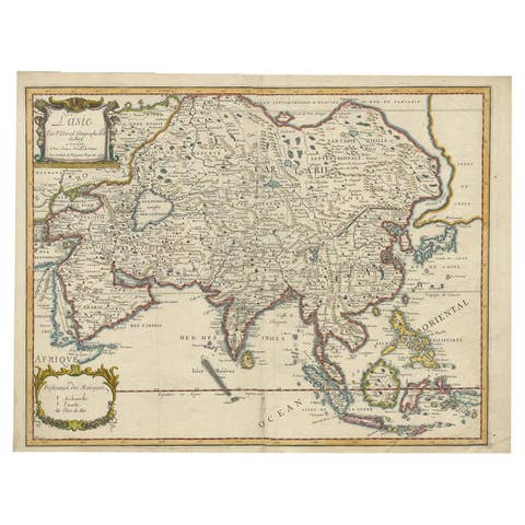
Antique Duval Map of East Asia with China, Japan, Korea and the Great Wall, 1663
1663 · € 1 800
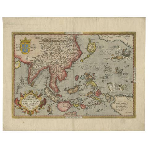
Antique Ortelius Map of Asia Featuring Japan, China, Taiwan & East Indies, 1587
1587 · € 4 950
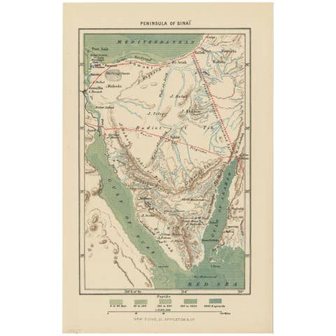
Antique Map of the Sinai Peninsula, '1895'
1895 · € 100
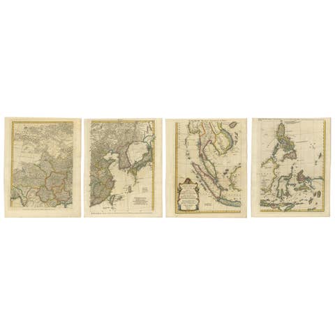
Set of Four Original Antique Maps of Asia by Bolton & Seale, circa 1770
1770 · € 7 850
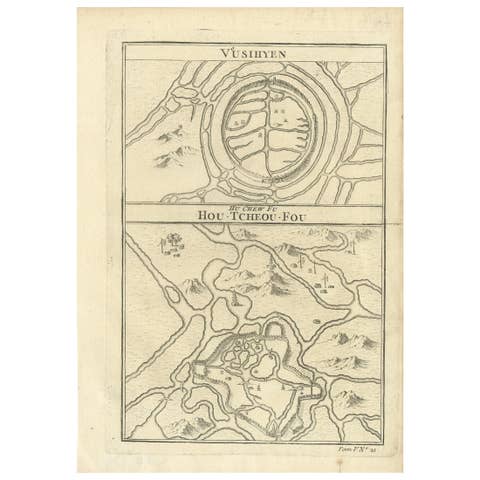
Antique Map of Wuxi and Huzhou by Prévost '1746'
1746 · € 100

Antique Map of Asia by Lapie, 1842
1842 · € 340
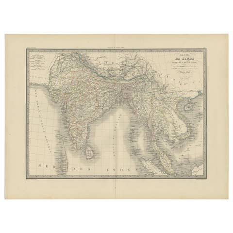
Antique Map of India and Ceylon by Pierre M. Lapie, Paper, 1842
1842 · € 380
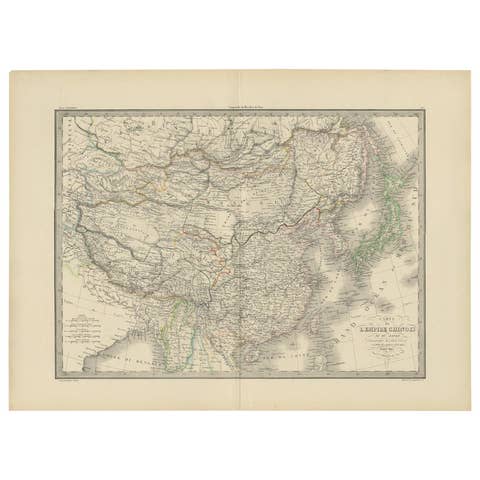
Antique Map of the Chinese Empire and Japan by Lapie, 1842
1842 · € 400
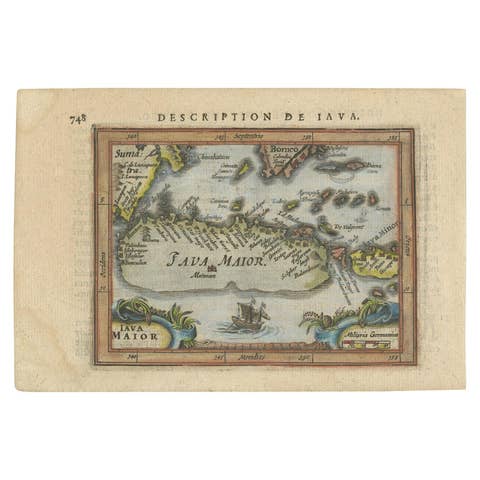
Antique Miniature Map of Java by Bertius/Hondius '1618'
1618 · € 550
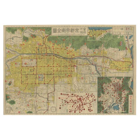
Antique Folding Map of Kyoto, Japan, 1920
1920 · € 1 600
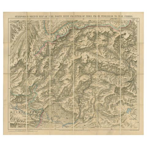
Antique Map of the North-West Frontier by Stanford, 1895
1895 · € 821
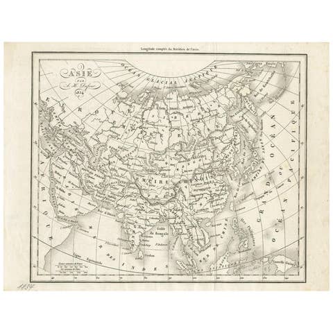
Antique Map of Asia by Dufour, circa 1834
1834 · € 200
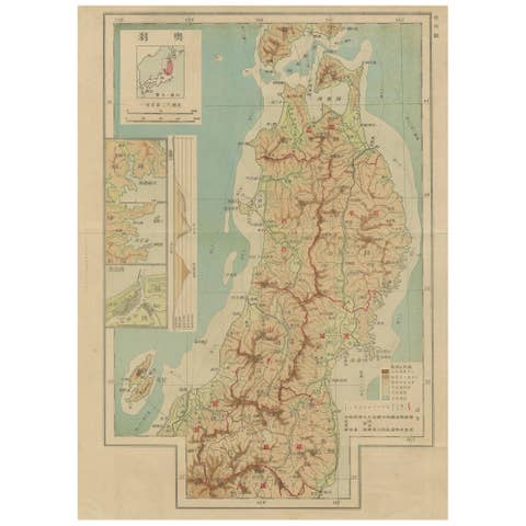
Set of 11 Antique Maps of Japan Originating from a Japanese Atlas, 1906
1906 · € 500
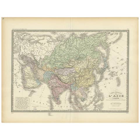
Antique Map of the Asian Continent by Levasseur, '1875'
1875 · € 500
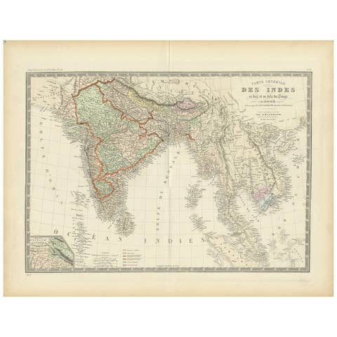
Authentic Antique Map of India and Ceylon, 1875
1875 · € 390
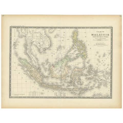
Antique Map of the East Indies by Levasseur, 1875
1875 · € 370
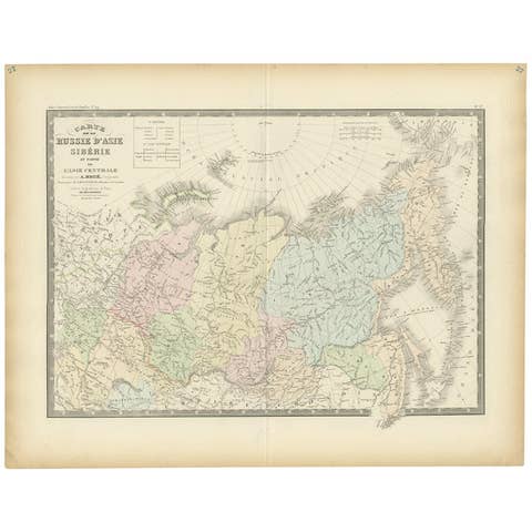
Antique Map of Siberia by Levasseur '1875'
1875 · € 400
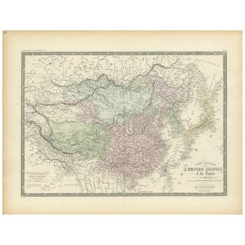
Antique Map of the Chinese Empire and Japan, 1875
1875 · € 390
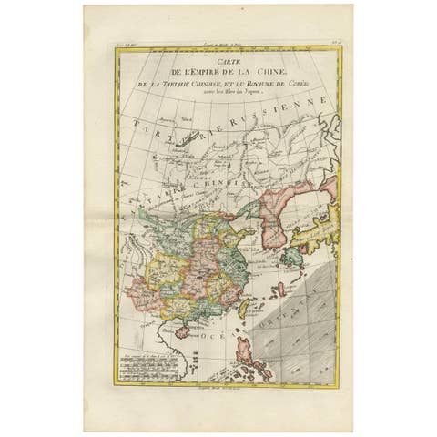
Antique Map of China, Korea, Japan and the Northern Philippines, circa 1780
1780 · € 330
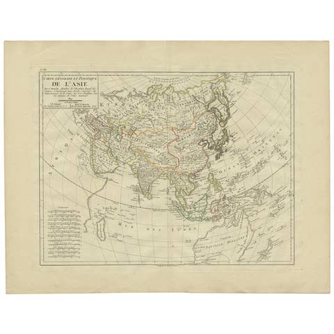
Antique Map of Asia by Mentelle, 1819
1819 · € 450
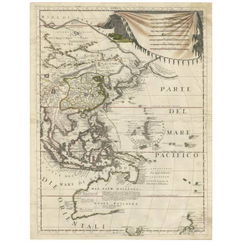
Antique Map of East Asia by Coronelli, circa 1690
1690 · € 2 900
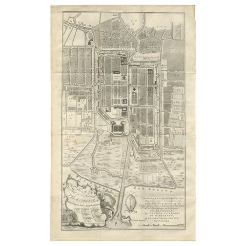
Antique Plan of Batavia by Van Krevelt, circa 1780
1780 · € 2 500
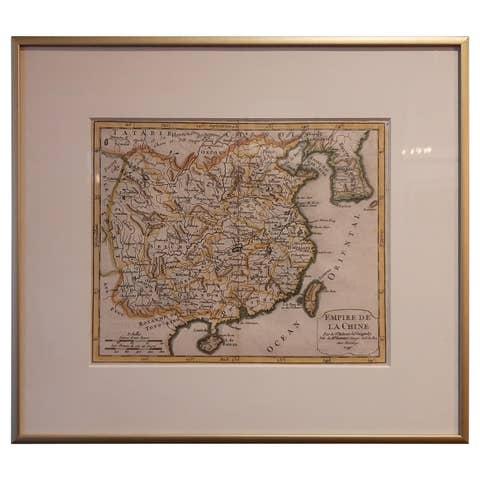
Antique Map of China Including Korea and Taiwan by Vaugondy, 1749
1749 · € 500
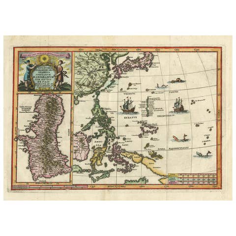
Antique Map of the Philippines and Guam by Scherer, circa 1702
1702 · € 1 800
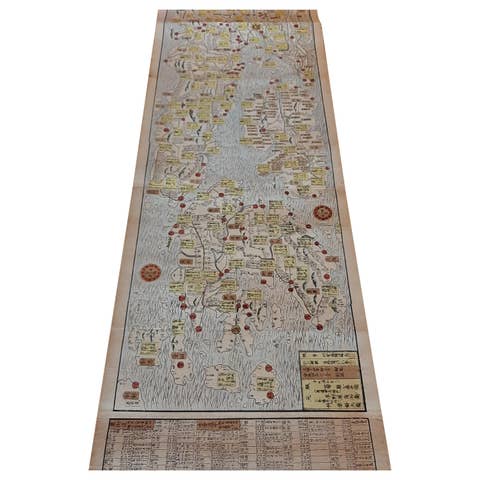
Antique Japanese Woodblock Print Map, Paper, Circa 1860, Large Size
1860 · € 2 500
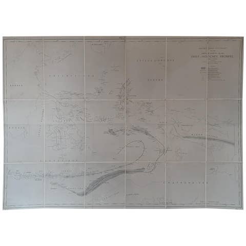
Large Antique Map of the East Indies by Brouwer, 1917
1917 · € 1 200
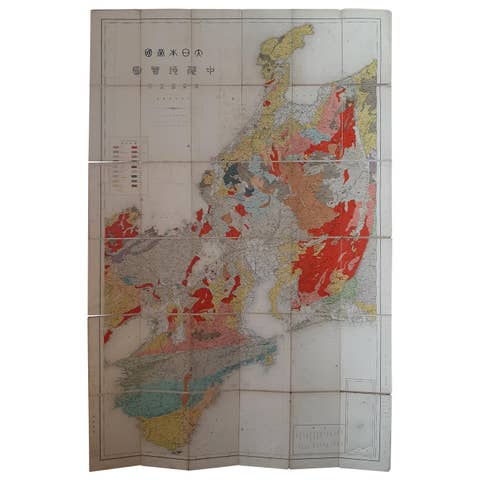
Antique Map of the Region of Wakayama, Nara and Osaka 'Japan', ca.1880
1880 · € 950

Antique Map of China and Japan by Johnson, 1872
1872 · € 300
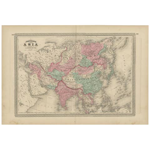
Antique Map of Asia by Johnson, 1872
1872 · € 350
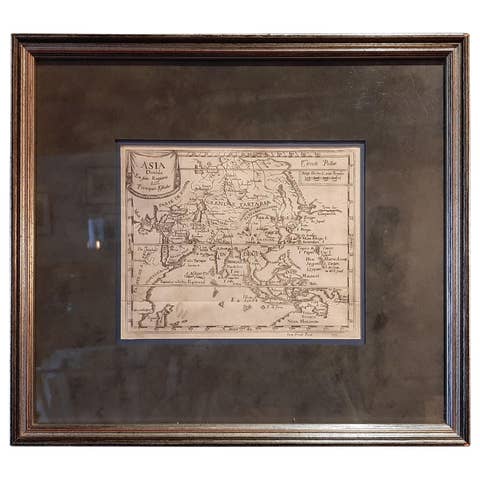
Antique Map of Asia 'in Frame, circa 1739'
1739 · € 800
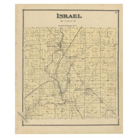
Antique Map of the Israel Township of Ohio by Titus '1871'
1871 · € 250

Antique Map and Views of Batavia by Homann Heirs, '1733'
1733 · € 2 500
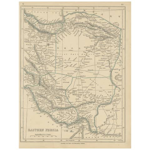
Antique Map of Eastern Persia, 1852
1852 · € 100
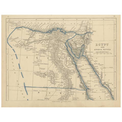
Antique Map of Egypt and Arabia Petraea by Lowry, '1852'
1852 · € 100
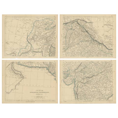
Antique Map of India, Afghanistan, Balochistan and surroundings by Lowry, '1852'
1852 · € 250
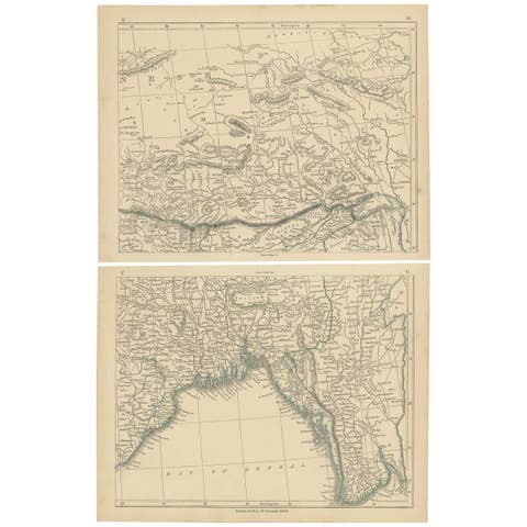
Antique Map of the Region of the Bay of Bengal by Lowry, 1852
1852 · € 150
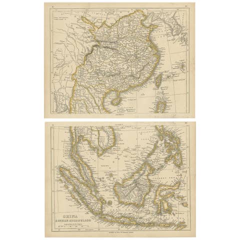
Antique Map of China and the East Indies by Lowry, 1852
1852 · € 350
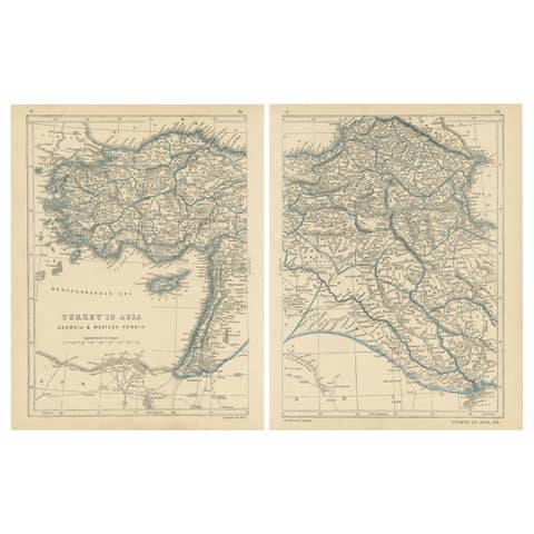
Antique Map of Turkey in Asia by J.W. Lowry, Paper Print, 1852
1852 · € 180
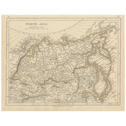
Antique Map of Northern Asia by Lowry, 1852
1852 · € 100

Antique Map of the Malacca and Bangka Strait by De Mannevillette '1775'
1775 · € 1 200
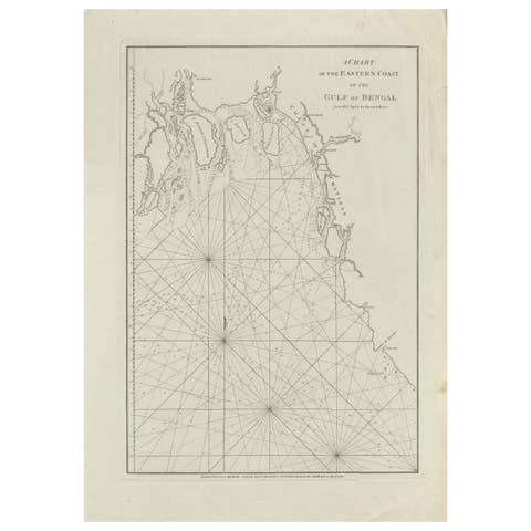
Antique Map of the Bay of Bengal Printed for Robert Sayer, 1787
1787 · € 500
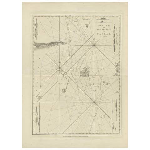
Antique Map of the Gaspar Strait by Huddart, '1788'
1788 · € 950
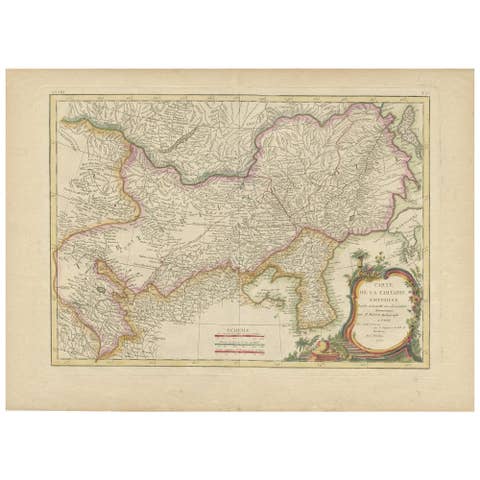
Antique Map of Korea and Southern China by Bonne '1771'
1771 · € 575
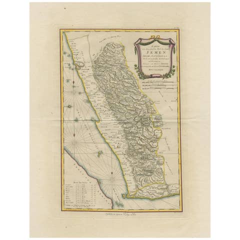
Antique Map of Yemen by Schraembl, 1789
1789 · € 900
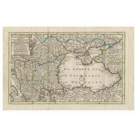
Antique Map of the Black Sea and Surroundings by Keizer & de Lat, 1788
1788 · € 350