Maps & PrintsBartele Gallery · Langweer
Home / Antique Maps / Asia / East Asia

East Asia · 17th century

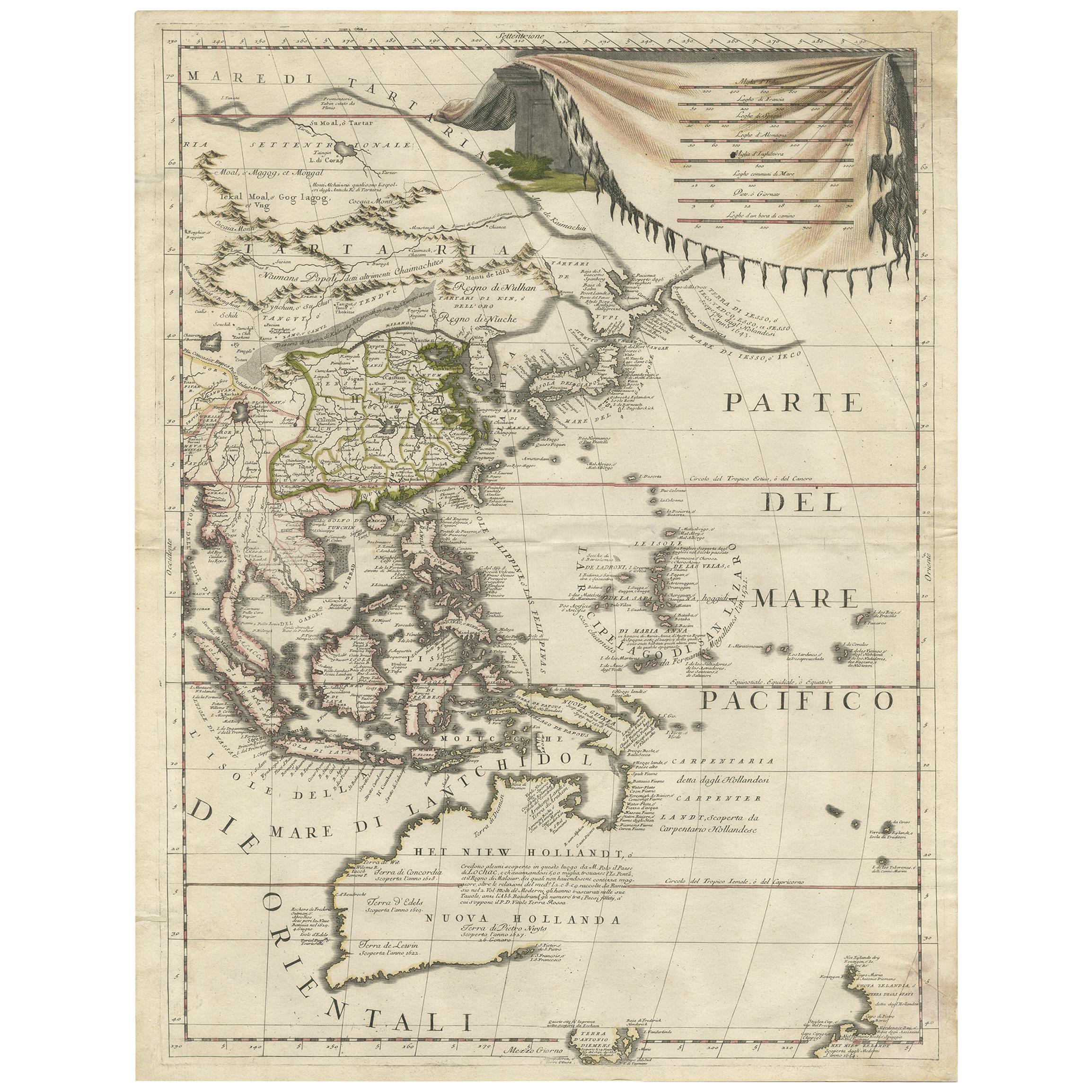
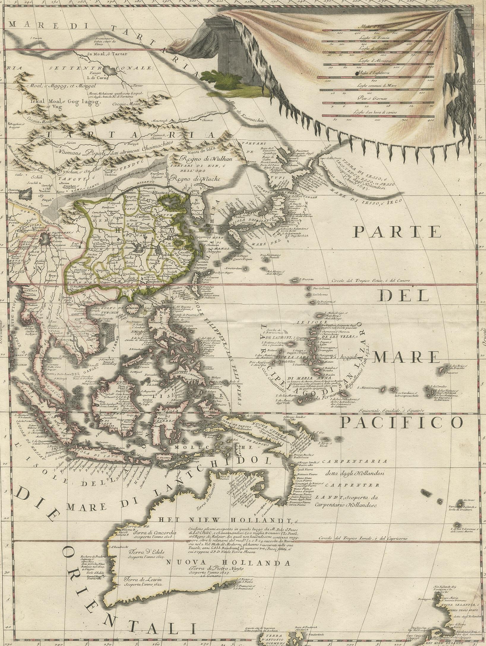
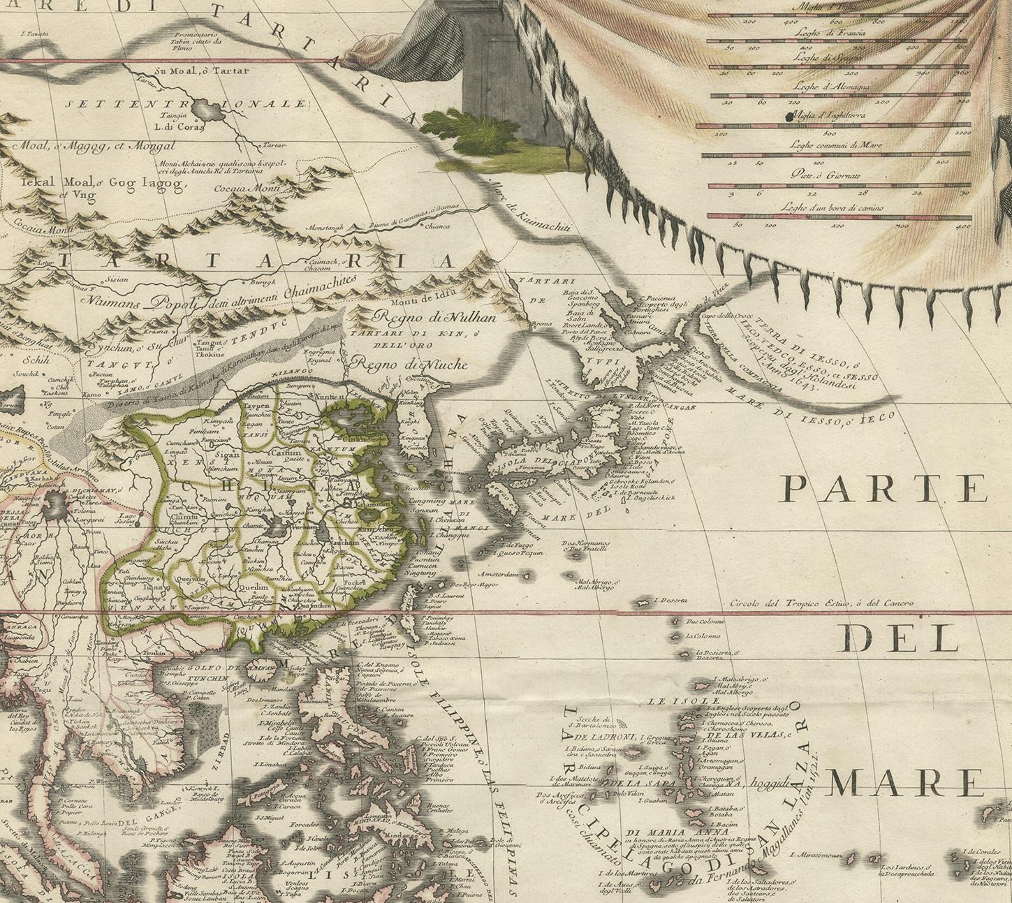
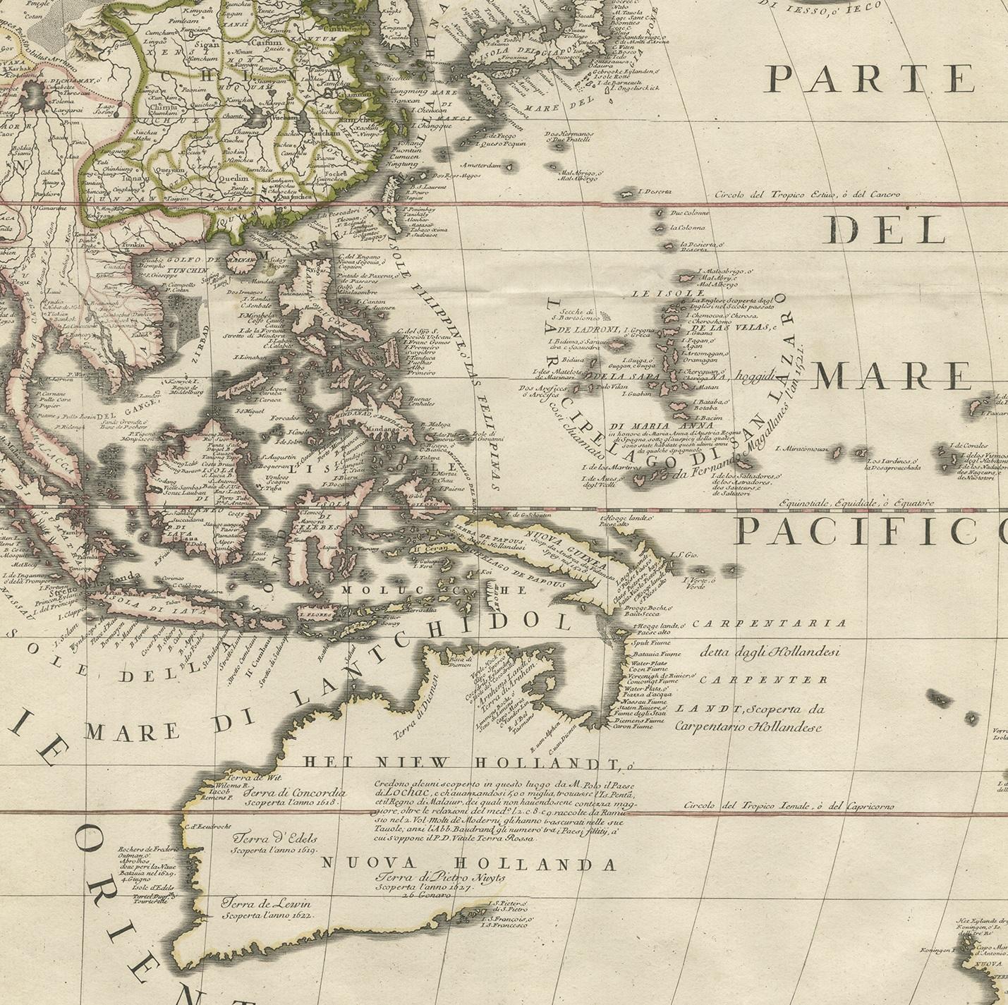
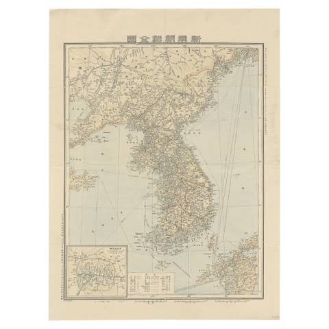
Antique Map of East Asia by Coronelli, circa 1690

€ 2 900

One of a kind: this is the sheet in the photographs. Ships from Langweer, the Netherlands.

Date
1690
Technique
Engraved
Sheet size
61.5 × 48 cm (24.2 × 18.9 in)
Condition
Fair
Reference
BGHS-001

Condition

Repaired: Repair on folding lines and corners. General age-related toning. Original/contemporary hand coloring. Repairs on folding line and corners. Blank verso, please study image carefully.

About this sheet

Antique map of East Asia showing New Holland and parts of Van Diemens Land and New Zealand. This map is the right hand part of a two sheet map, but is complete on its own. This map originates from 'Atlante Veneto: Corso Geografico Universale'.

More from East Asia

Ask about this sheet

Antique Map of East Asia by Coronelli, circa 1690
1690 · Ref. BGHS-001 · € 2 900
We reply by email, usually within one working day.