Large Antique Map of the East Indies by Brouwer, 1917
€ 1 200
One of a kind: this is the sheet in the photographs. Ships from Langweer, the Netherlands.
Date
1917
Technique
Paper
Sheet size
90 × 126 cm (35.4 × 49.6 in)
Condition
Good
Reference
BG-12218
Condition
In 18 segments on canvas. u. multiple folded. Some signs of use. Rare, large-format special card. Please study images carefully.
About this sheet
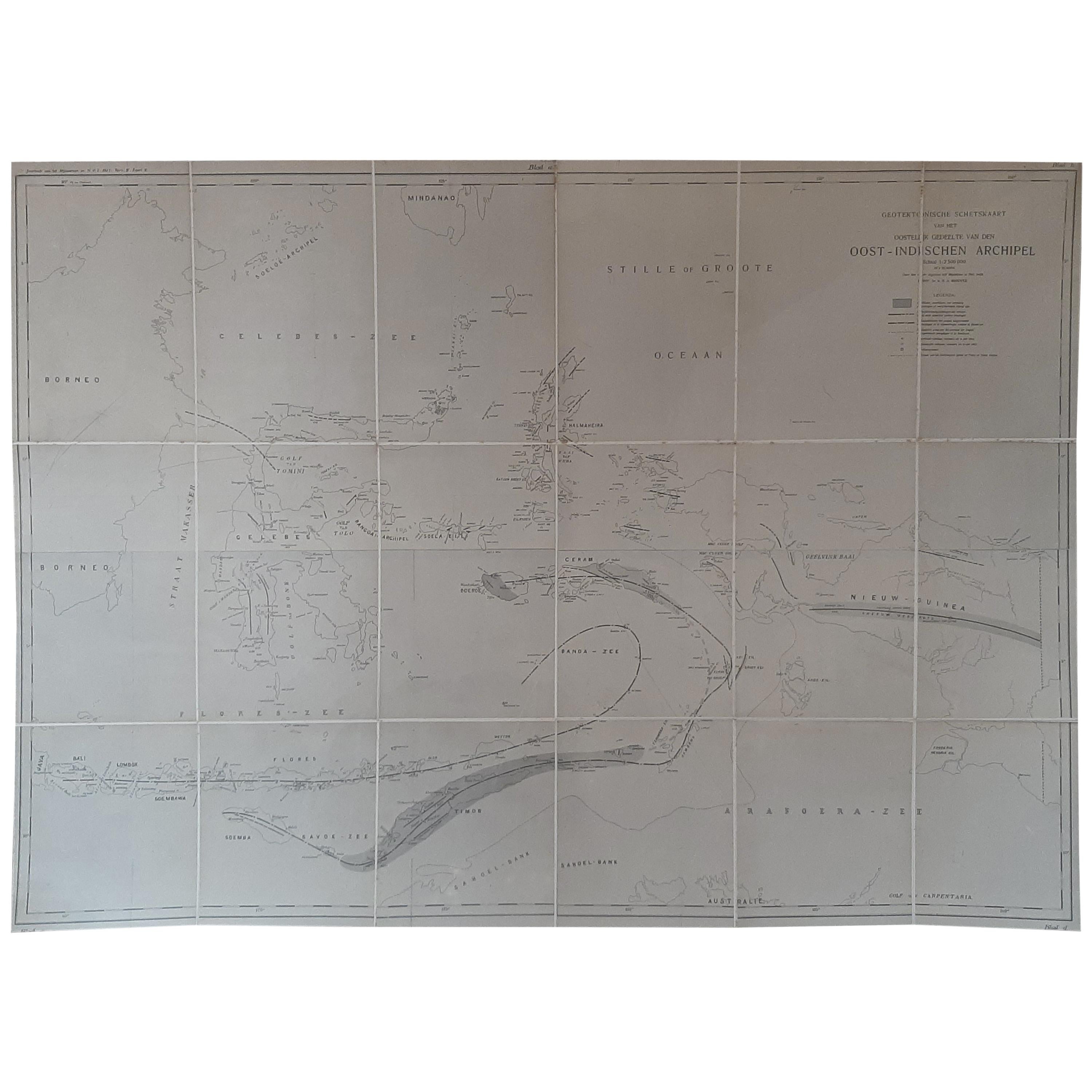
Antique map titled 'Geotektonische Schetskaart van het Oostelijk Gedeelte van den Oost-Indischen Archipel':
Title: Geotektonische Schetskaart van het Oostelijk Gedeelte van den Oost-Indischen Archipel Author: H.A. Brouwer Source: Jaarboek van het Mijnwezen in N.O.I. Publication Year: 1917
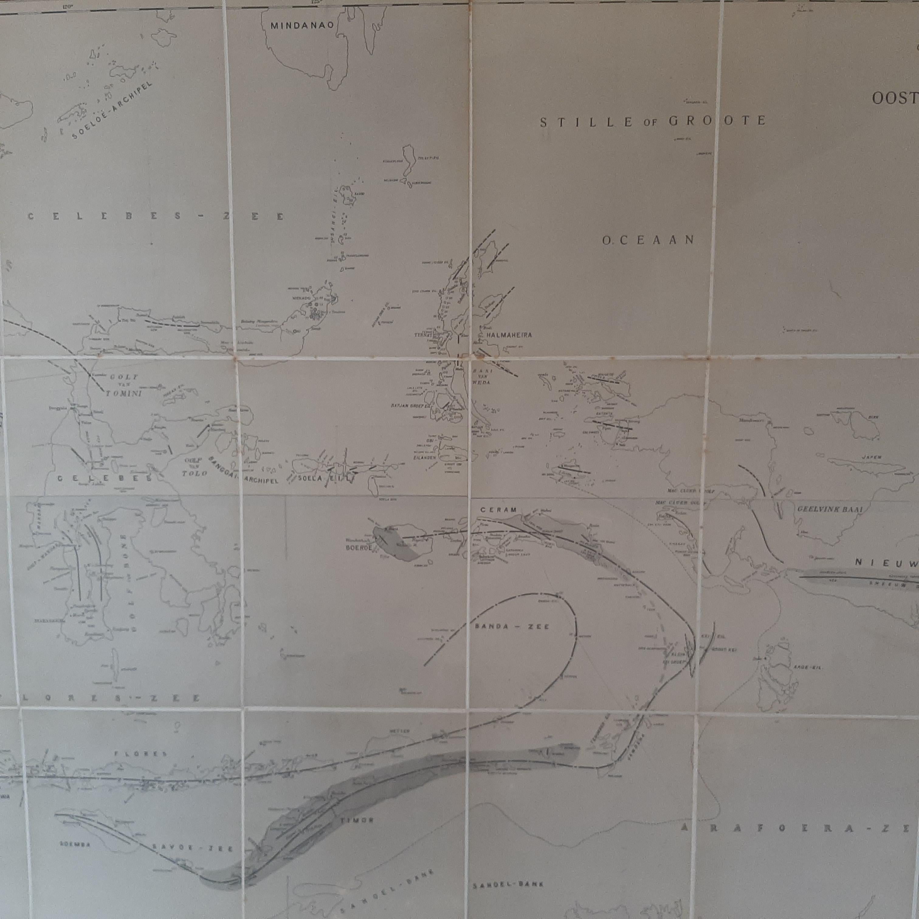
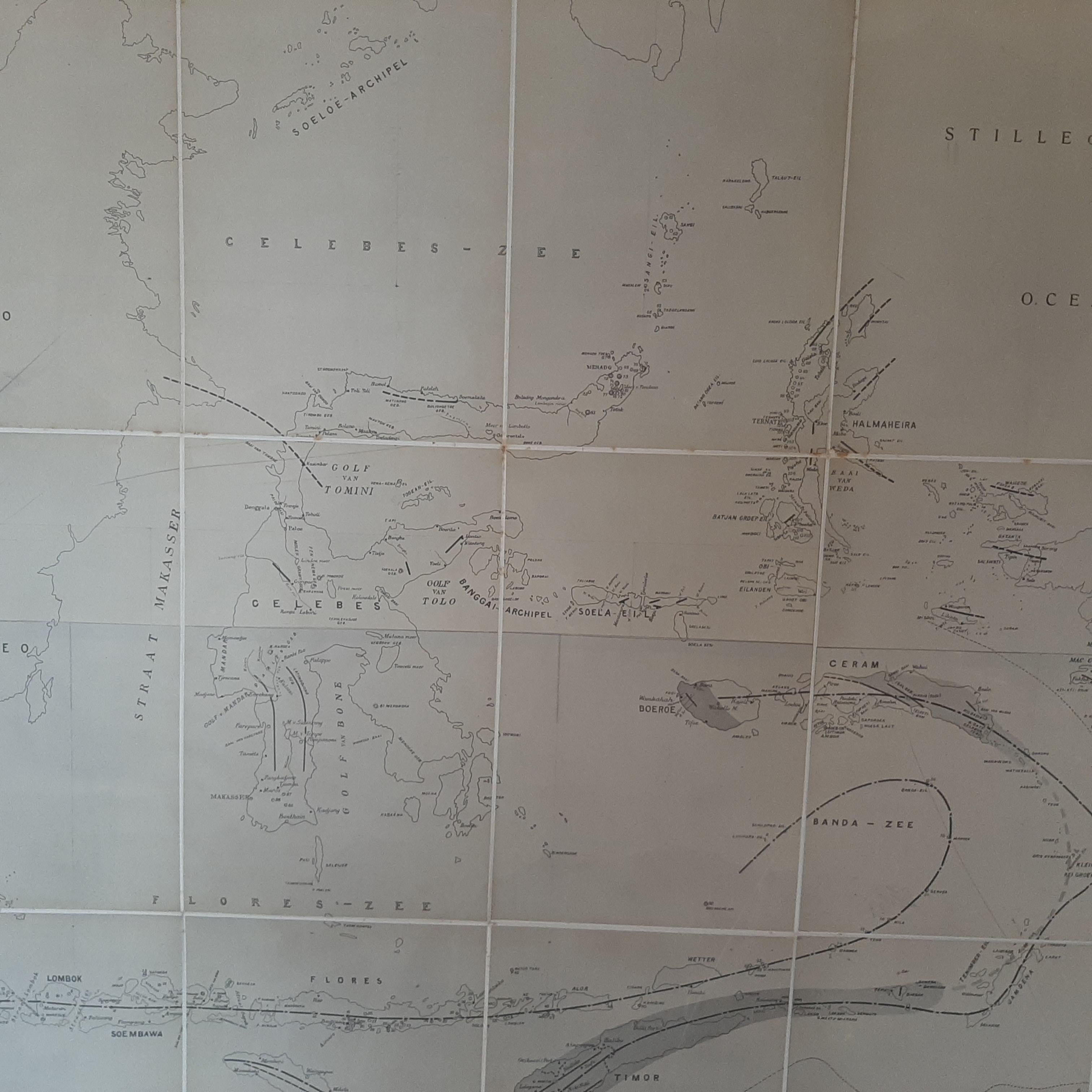
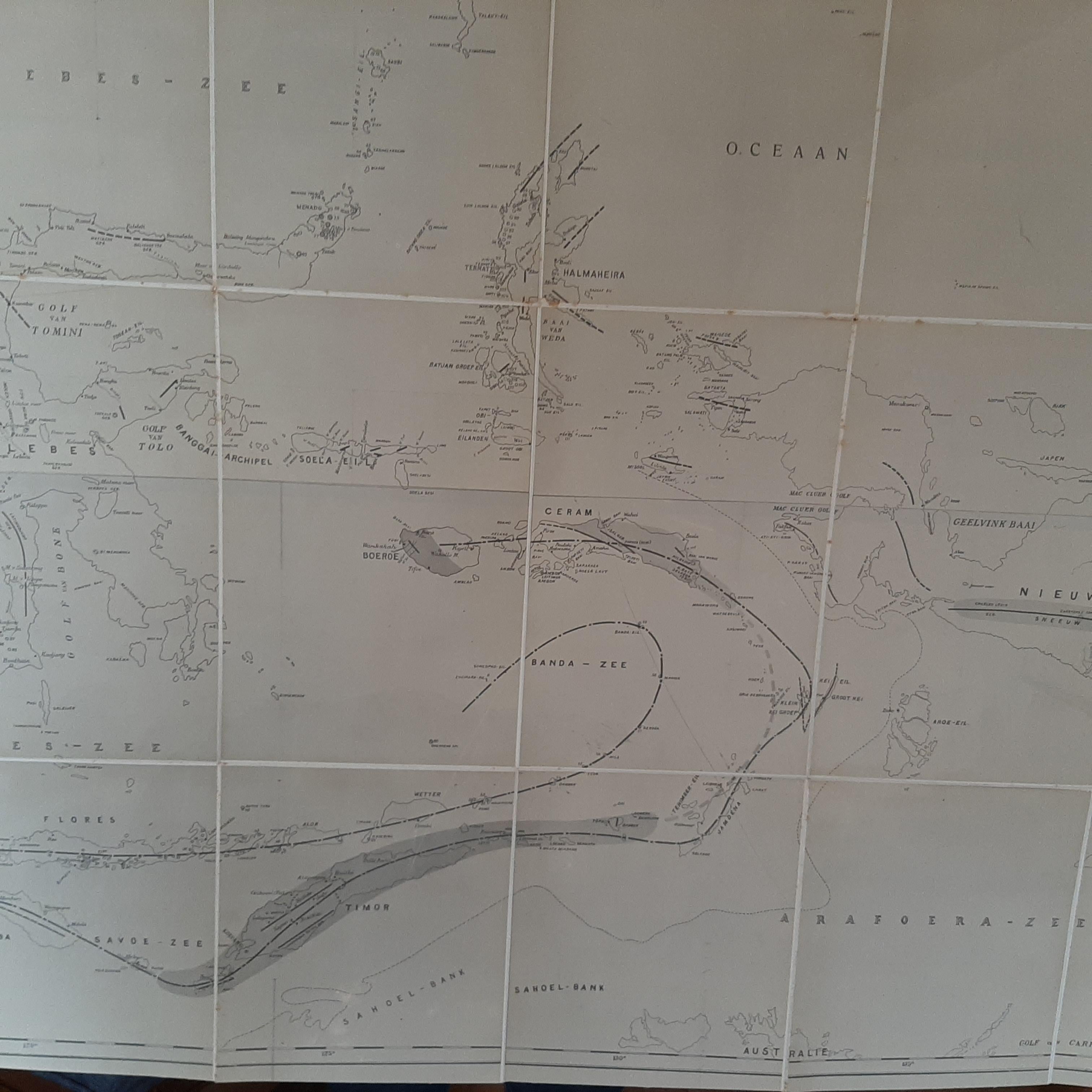
This large, antique folding map, which is composed of four sheets, is a detailed geotectonic sketch map of the eastern part of the East Indies Archipelago. Originating from H.A. Brouwer's 'Jaarboek van het Mijnwezen in N.O.I.' (Yearbook of Mining in the Dutch East Indies), published in 1917, the map offers a comprehensive geological overview of this region.
As a geotectonic map, it details the geological structure and plate tectonics of the East Indies Archipelago, providing valuable insights into the region's geological history and composition. This includes information on rock formations, fault lines, and potentially volcanic and seismic activity, which are particularly relevant given the region's known geological dynamics.
*This map is a significant historical and scientific document, representing early 20th-century geological understanding and cartographic techniques. It would be particularly valuable to historians of science, geologists, and collectors interested in cartography or the history of the East Indies Archipelago.
The map's inclusion in the 'Jaarboek van het Mijnwezen in N.O.I.' underscores its importance as a resource for mining and geological studies in the Dutch East Indies (now Indonesia), reflecting the colonial interests and scientific endeavors of the time.