maps-prints.com
✦
Black Friday Sale
Friday 20 to Monday 30 November: up to 30% off original antique maps and prints
The terms
- Up to 30% off selected original antique maps and prints. Every piece is an original, printed in its own time; none is a reproduction.
- The sale runs from Friday 20 November to Monday 30 November. Sale prices shown here apply from Friday 20 November; until then pieces are sold at their regular price.
- Free FedEx shipping on qualifying orders placed on our own websites: USA, Canada, UK and Europe over $500 / €450; rest of the world over $750 / €675. Smaller orders pay our normal shipping rate.
- Orders placed from 15 to 30 November ship from 1 December, in time for Christmas. Our shipping partner is InXpress.
- Each piece is unique, so the sale is while stock lasts.
Collection:AllAmericanSea chartsMilitaryNatural historyFashionArchitectureBotanicalSacredEast Indies
Sale prices apply from Friday 20 November. Save the pieces you like with the heart and come back on Friday.
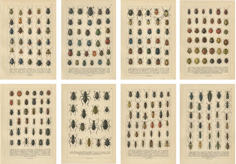 Decorative Antique Beetle Prints, Vibrant Chromolithograph Set of 8, Calwer 1893
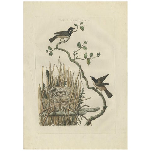 Rare 18th Century Bird Print – Marsh Tit and Nest Scene by Sepp & Nozeman
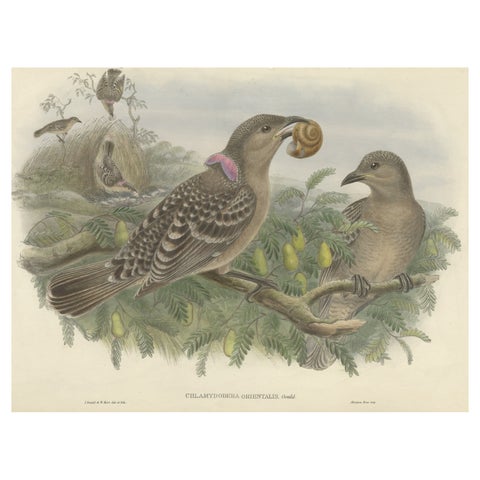 Original Old Hand-Colored Print of the Australian Queensland Bower Bird, ca.1880
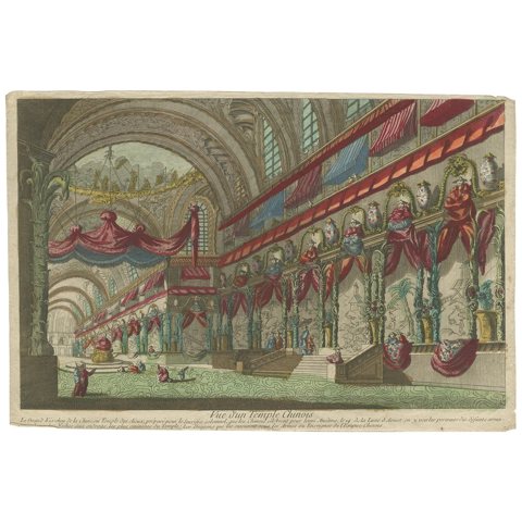 Optical Print or Vue d'optique of a Chinese Temple, ca.1750
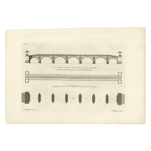 Antique Print of a Design for a Bridge across the Thames, London, England, 1725
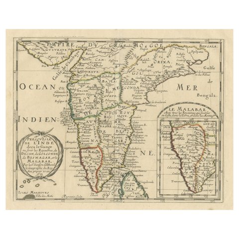 Original Antique Map showing Southern India, Northern Sri Lanka & Malabar, 1652
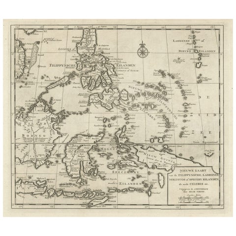 Old Map of the Philippines and Part of Indonesia 'Spice Islands', 1744
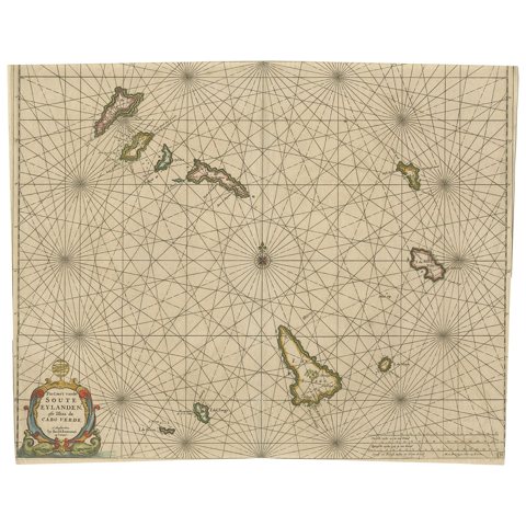 Antique Map of the Cape Verde Islands, Africa, ca.1670
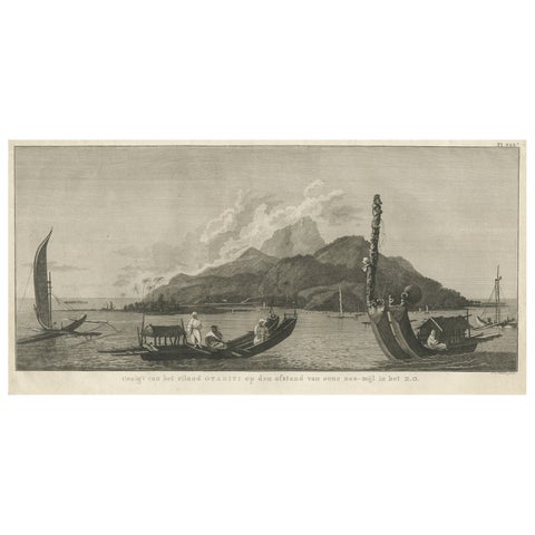 View of the Island of Tahiti, with Outrigger Canoes and Sailing Catamarans, 1803
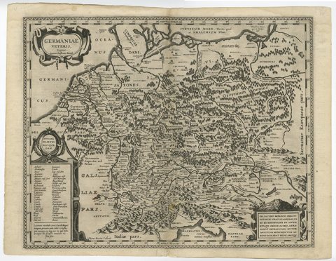 Original Rare Antique Map of the Ancient German Empire in Northern Europe, c1650
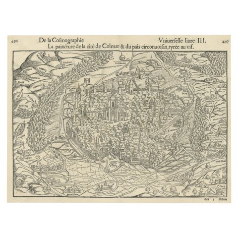 Original Antique Bird's-Eye View of Colmar, Alsace, France, 1552
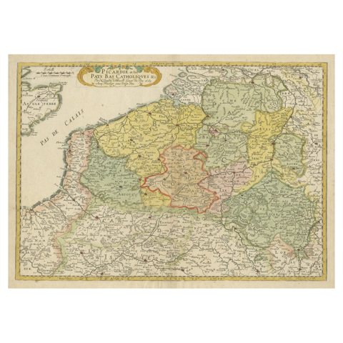 Detailed Regional Antique Map of Northwestern France and Catholic Belgium, 1648
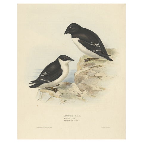 Old Bird Print Depicting the Little Auk by Gould, 1832
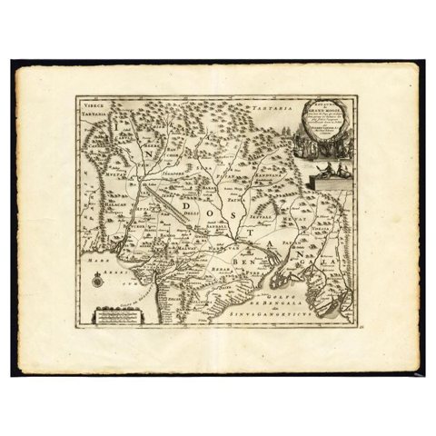 Antique Map of the Mughal Empire by Van der Aa, C.1725
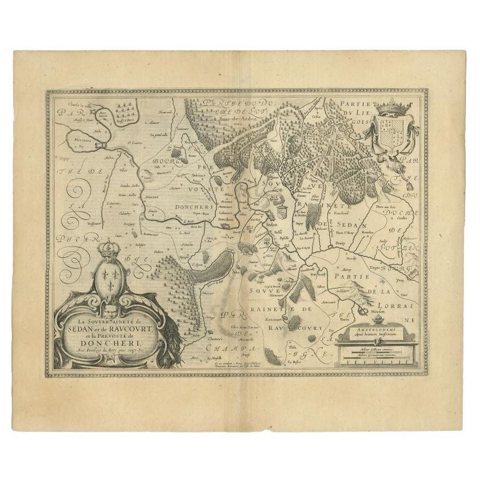 Antique Map of the Region of Sedan and Doncheri in France by Janssonius, c.1650
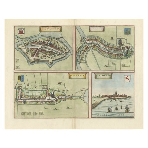 Engravings of the Frisian Cities of Sloten, IJlst, Workum and Hindelopen, c.1650
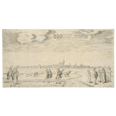 Original Antique Engraving of the City of Franeker in The Netherlands, 'c.1598'
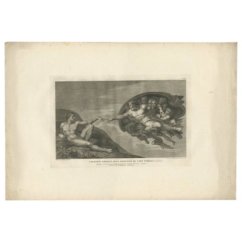 Antique Print of the Creation of Man by Cunego, circa 1780
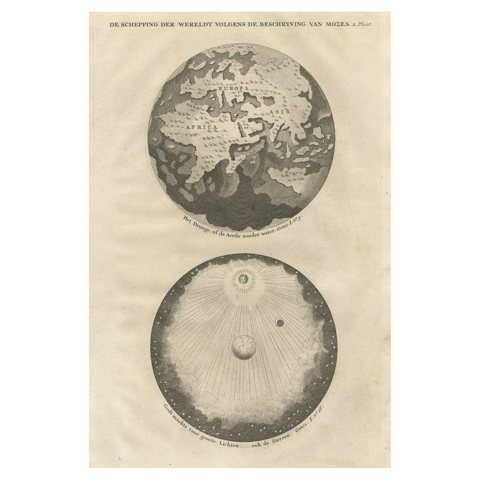 Original Antique Engraving of the Creation of the World According to Mozes, 1725
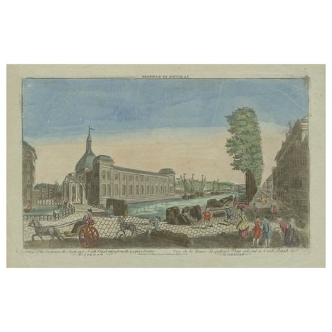 Rare Old Hand-Colored Optica Print of the Blaak in Rotterdam, the Netherlands
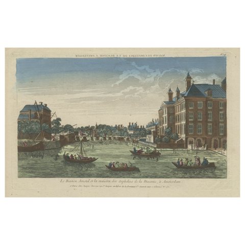 Original Antique Optica Engraving of the Amstel Area in Amsterdam, Holland
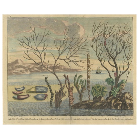 Colored Antique Print of various Water Plants including Coral in Southeast Asia
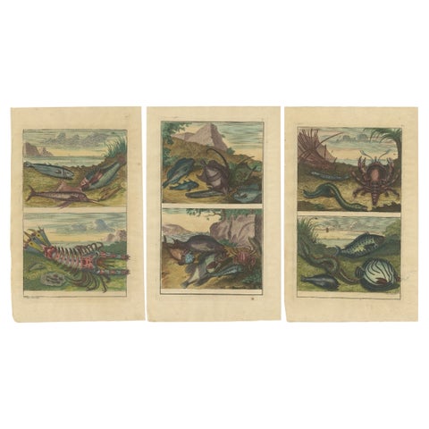 Set of 3 Colored Antique Prints of various Fishes and Crustaceans, 1726
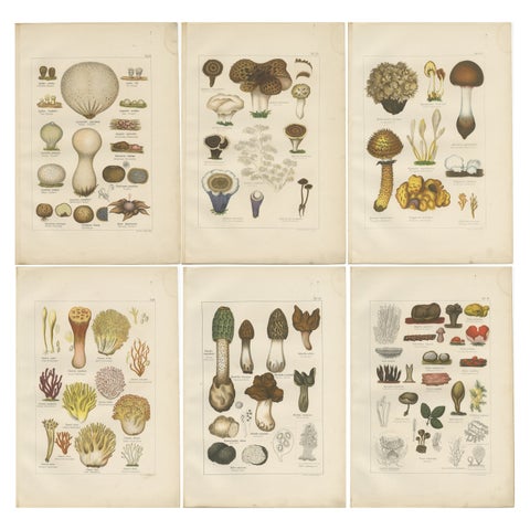 Set of 6 Antique Mycology Prints of the Common Stinkhorn & Other Mushrooms, 1875
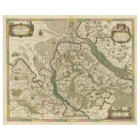 Original Antique Map of the Area of Bremen and Lower Saxony
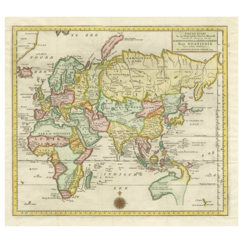 Antique Map of the Eastern Part of the World
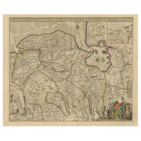 Antique Map of Groningen with Contemporary Hand Coloring
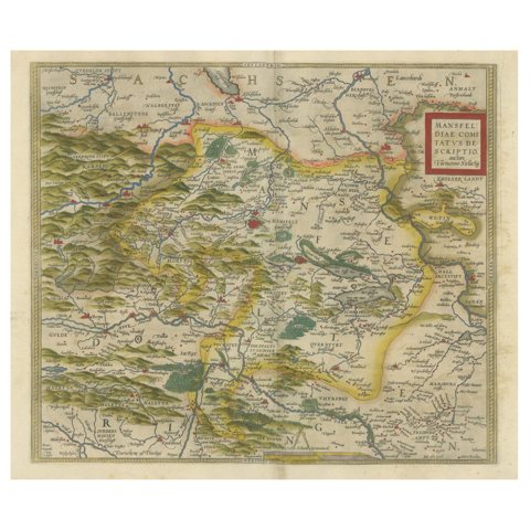 Antique Map of the Region of Mansfeld, Saxony-Anhalt, Germany
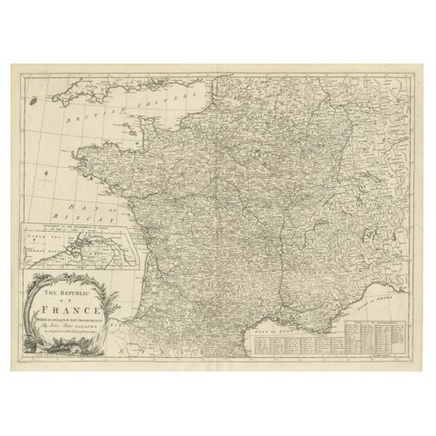 Antique Map of France with Inset showing the Northern Departments
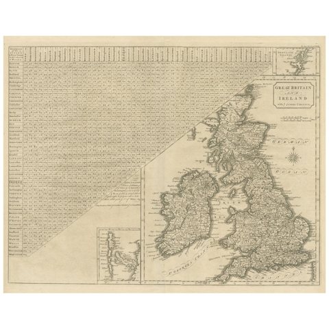 Antique Map of the British Isles, Insets of the Shetland Islands and Hebrides
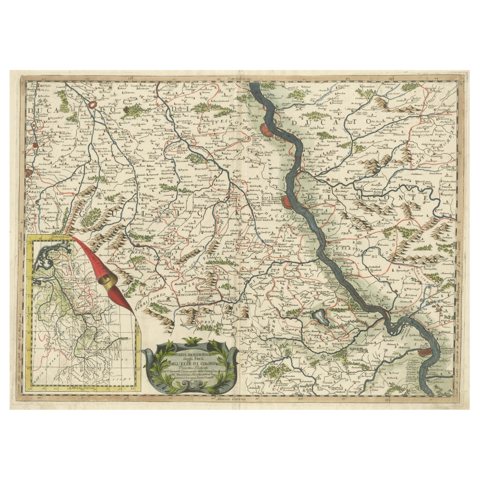 Antique Map of the course of the Rhine from Lahnstein to Rheinkassel, Germany
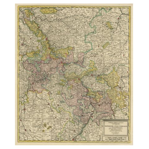 Antique Map of the Area centered on the Rhine River, Germany
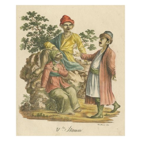 IVter Stamm – Kalmyk, Mongolic Woman and Japanese c.1816
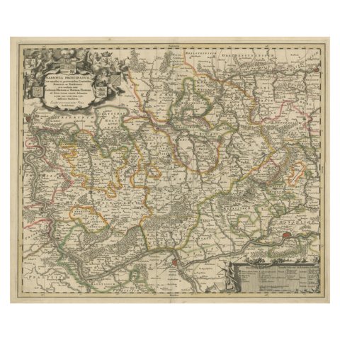 Antique Map of the Nassau Region in Western Germany, ca.1720
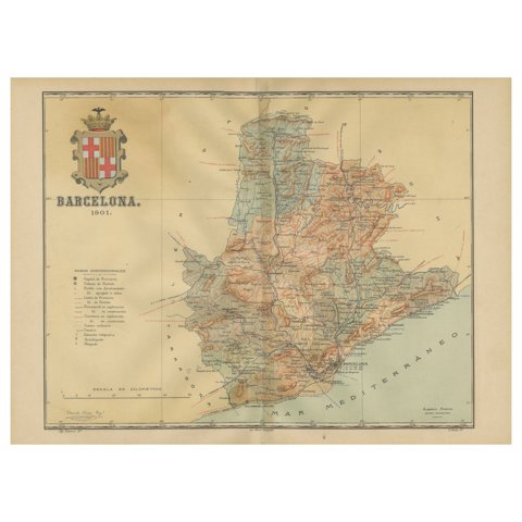 Barcelona 1901: A Cartographic Portrait of Catalonia's Capital Province
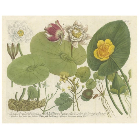 Aquatic Elegance: Water Lilies and Pond Plants in 18th Century Engraving, 1748
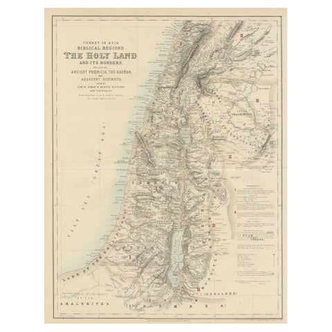 Turkey in Asia: Biblical Regions and the Holy Land from The Royal Atlas (1856)
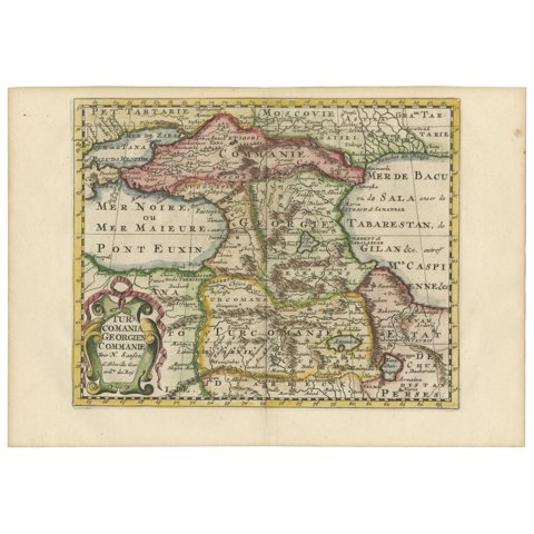 Historical Map of the Black Sea and Surrounding Regions, 1705
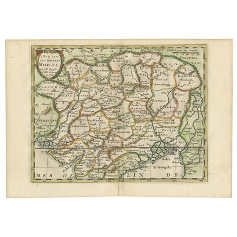 Cartographic Elegance of the Mughal Dominion in a Hand-Colored Antique Map, 1705
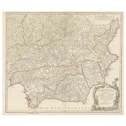 Detailed Engraving Highlighting Key Regions of Southern Spain and Castile, 1752
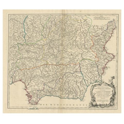 Map of Southern Spain Depicting Castile, Andalusia, Granada, Murcia and Valencia
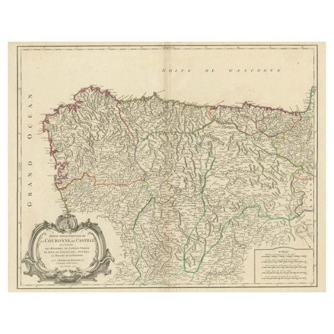 Map of Kingdoms of Castile, León, Galicia, Asturias, Biscay and Navarre in Spain
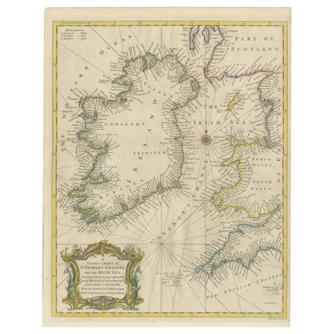 Hand-colored Nautical Chart: St. George's Channel and the Irish Sea, 1744
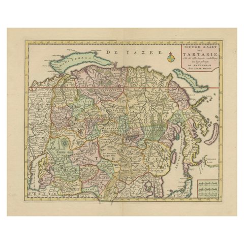 Map of Tartary by Isaak Tirion: Detailed Cartography of Northern Asia, ca.1740
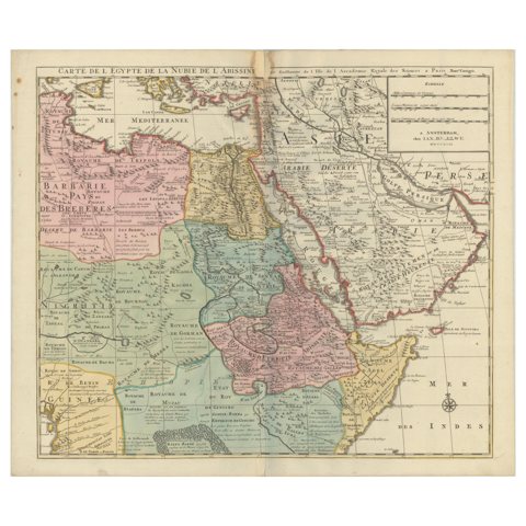 1792 Map of Eastern Africa and the Arabian Peninsula by Delisle/Elwe
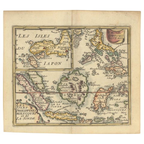 1692 Jacq. Peeters Map: East Indies, Indonesia, Japan, Philippines and Singapore
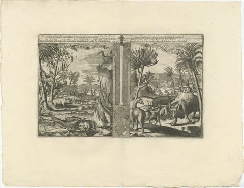 Colonial Curiosities: Fauna of the West Indies, by R. de Hooghe, circa 1708
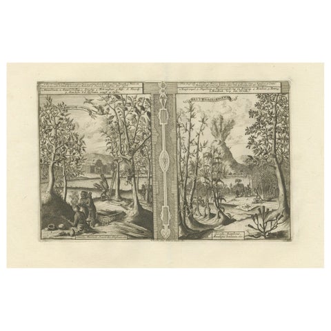 Exotic Bounty: The Spice Lands of the East Indies by R. de Hooghe, circa 1708
Sharing the sale? Download the Black Friday banners.